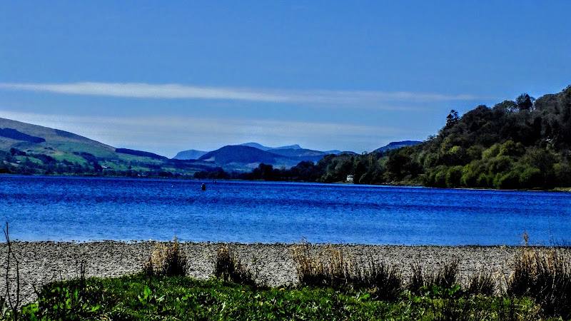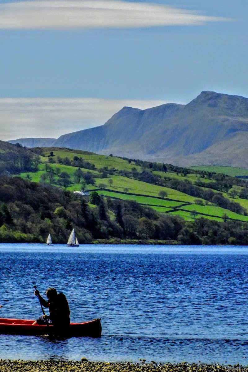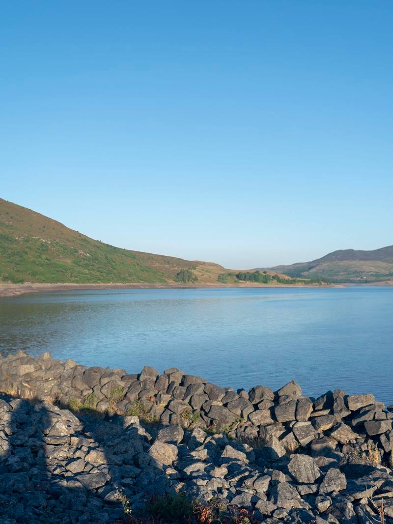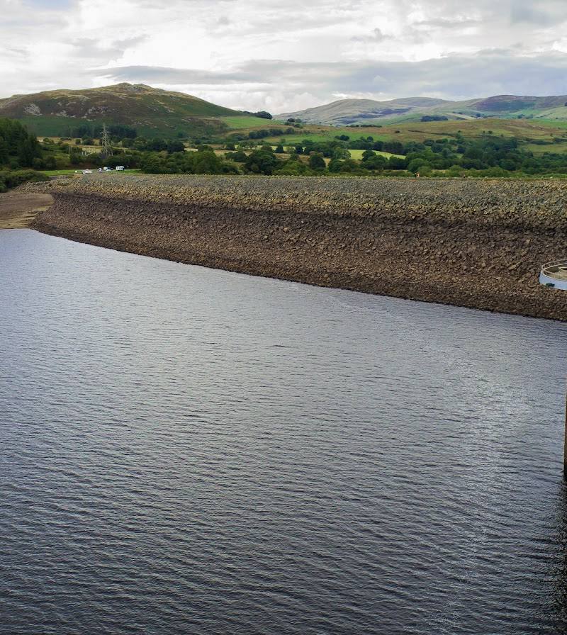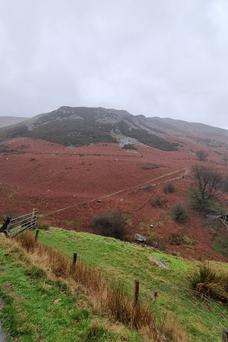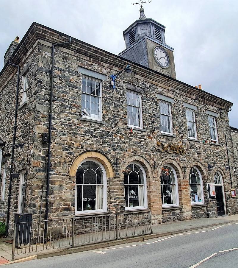
Bala, Gwynedd, Wales, at the north end of Llyn Tegid (Bala Lake).
Bala
Historic town
Place photograph
6.3
Wildland
Half day, Full day, Weekend
Time
Check
Cost
Peaceful
Feel
Why it's Wildland
6.3At the northern end of Llyn Tegid, Bala sits between several upland ranges and offers a quieter starting point for exploring the Welsh Lake District. Local walking information describes routes from gentle scenic walks to demanding mountain days.
Bala earns its place as a gateway to a varied upland landscape: lake circuits, farmland and moorland walks, and the nearby Aran, Arenig and Berwyn ranges give visitors options well beyond a town stop.
Peaceful · Big-sky · Wild
Find your way
Open mapBala, Gwynedd, Wales, at the north end of Llyn Tegid (Bala Lake).
Opening map…
Know this place a little better?
The experience
Choose a short scenic walk around Bala, make time for a section of the Llyn Tegid circuit, or plan a more demanding day in the Aran, Arenig or Berwyn mountains. Confirm route details and return transport before departure.
Things to do
Walk around Llyn Tegid
The local walking guide describes a 14-mile circuit using footpaths on the surrounding hills, with views over Penllyn and the adjacent mountain ranges. It also notes 8-mile and 6-mile options using the Bala Lake Railway or local bus for return transport; check current services and route details.
Full day
Explore the nearby mountain ranges
The Aran, Arenig and Berwyn ranges offer routes from Bala, including demanding mountain walks. Use current route guidance and check conditions before setting out.
Full day
Choose a local scenic or family walk
Bala-area walking information points to scenic, family and all-ability trail options. Check the individual route description for distance, surface and accessibility before choosing.
1–2 hours
Make a day of it
Quick escape · 1–2 hours
A short scenic walk from Bala
- 01
Choose a short local scenic walk using current Bala-area trail information.
- 02
Check the route, access and conditions before setting out.
Half day · Half day
Walk a section of the Llyn Tegid circuit
- 01
Pick a section of the lake circuit suited to your time and ability.
- 02
The local walking guide describes 8-mile and 6-mile options as alternatives to the full circuit.
- 03
Check return transport and current route details before setting out.
Full Wildland day · Full day
Plan a mountain day from Bala
- 01
Choose a mountain route in the Aran, Arenig or Berwyn ranges appropriate to your experience and conditions.
- 02
Check current route information, weather and transport before departure.
Verified history
Bala is a town in Gwynedd at the north end of Llyn Tegid. The supplied source row states that, according to the 2021 census, its population was 1,999 and 72.5 per cent of residents could speak Welsh.
When to go
· Check the forecast and route conditions before setting out; no specific time of day is established by the supplied sources.
The supplied walking information describes routes across a range of terrain but does not identify a best season. Mountain conditions and daylight should guide planning.
Mountain weather can affect route suitability. Check a current forecast and local conditions before setting out.
The route
- surface
- Varied land including farmland, moorland and forestry; specific path surfaces not stated.
- distance
- 14 miles for the full Llyn Tegid circuit; the guide also describes 8-mile and 6-mile options.
- route shape
- Circuit around Llyn Tegid
- start point
- Bala area; exact start point not specified.
- parking start
- Check before visiting.
- shorter alternative
- The local guide describes 8-mile and 6-mile options, using the Bala Lake Railway or local bus for return transport; check current services.
- Views over Penllyn and the adjacent mountain ranges
- A route through varied farmland, moorland and forestry
Worth pairing with
Llyn Tegid circuit
A substantial nearby walk that can be shortened to 8-mile or 6-mile options according to the local guide; check return transport.
Aran, Arenig and Berwyn mountain ranges
The local guide identifies these ranges as walking destinations accessible from the Bala area.
What to look for
Notice how the walking landscape changes between farmland, moorland and forestry, with views towards the Aran, Arenig and Berwyn ranges on routes around the lake.
Best time to go
Spring to autumn for longer walking days; conditions vary in the mountains throughout the year.
For mountain walks, choose a day with suitable weather and enough daylight; check local conditions before setting out.
How long to spend
Half day, Full day, Weekend
Perfect for
Walkers · Photographers · History lovers
Before you go
Address
Practical information
Opening & access
Bala is a town and a base for walks in the surrounding area. Specific route access and current conditions are not detailed here; check before setting out.
Check before visiting
Parking
Check before visiting; parking information is not established by the supplied sources.
Check before visiting
Toilets
Check before visiting.
Check before visiting
Food & drink
Check before visiting.
Check before visiting
Dogs
Check before visiting.
Check before visiting
Accessibility
The wider area has walks described for different abilities, including all-ability and family trails. Individual route surfaces, gradients and facilities are not specified here; check route details before setting out.
Check before visiting
Cost
Check before visiting
Check before visiting
Water
Lake
Gallery
Place photographs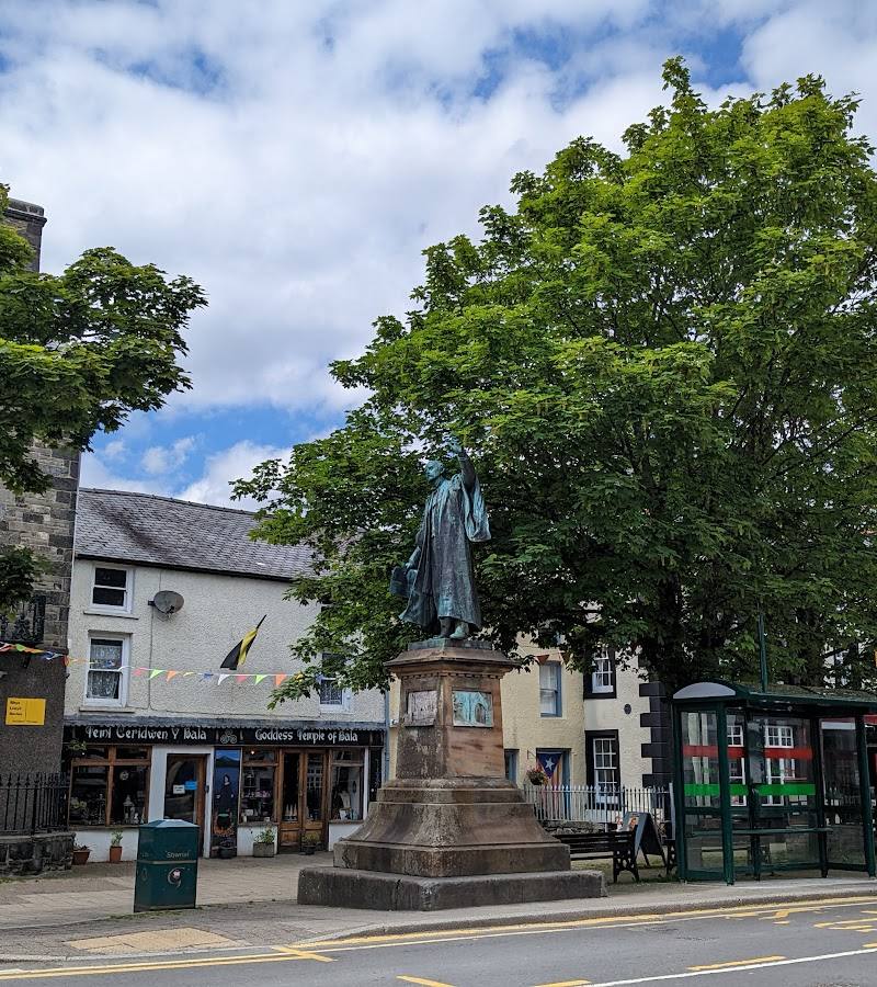
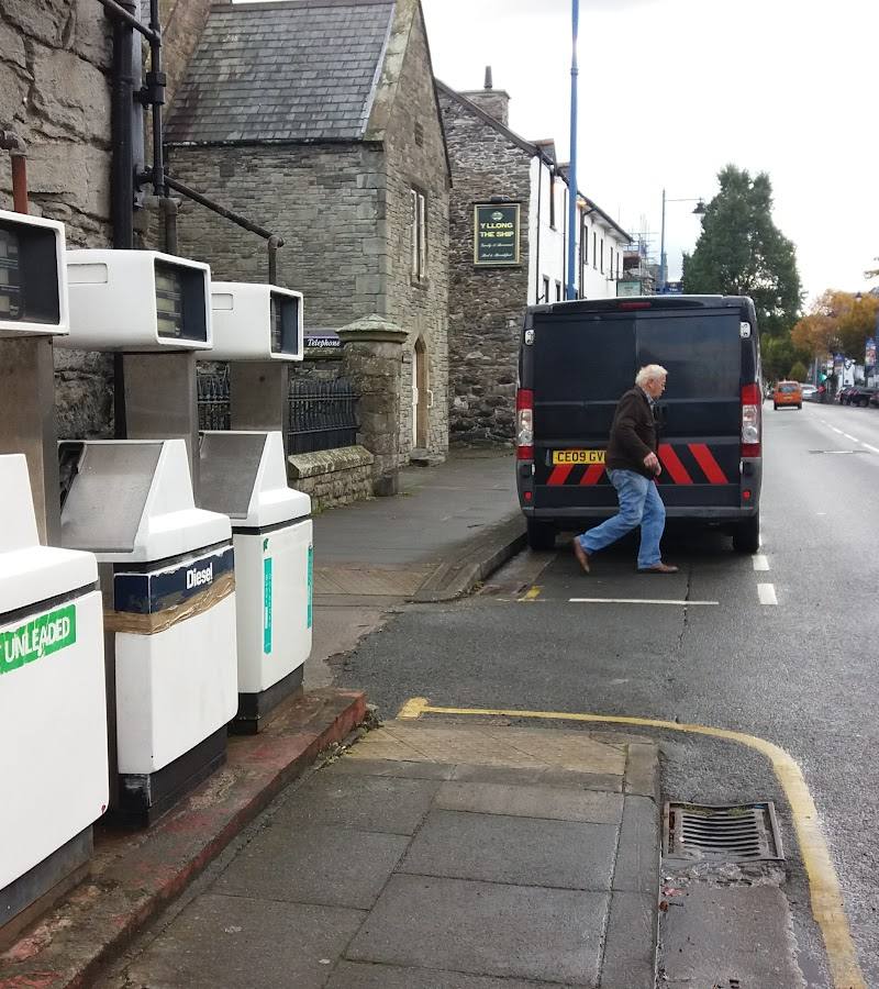
Keep exploring
Around Bala
Within 50 km · approximate straight-line distances