6.8
Wildland
1–2 hours
Time
Check
Cost
Peaceful
Feel
Why it's Wildland
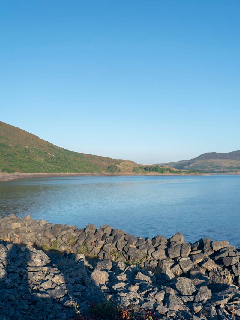
6.8Llyn Celyn’s broad mountain setting holds a difficult history: its construction flooded the Welsh-speaking community of Capel Celyn in the Tryweryn valley.
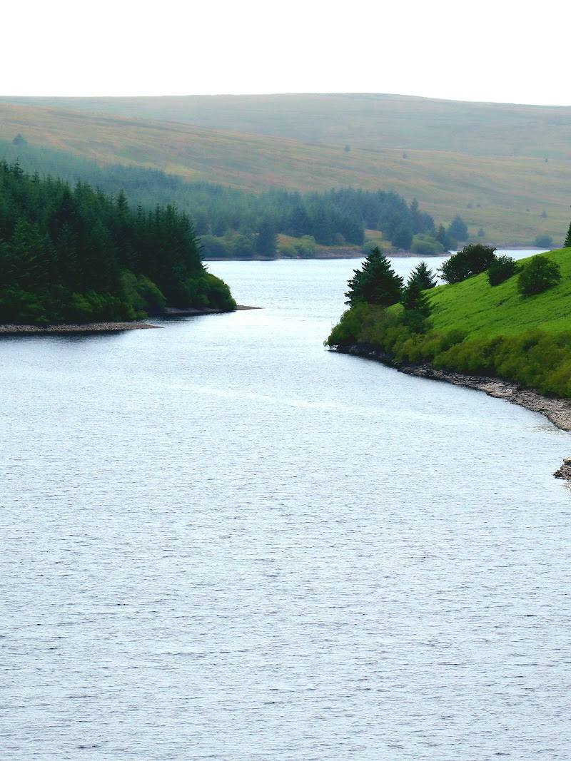
The appeal is the contrast between a large, quiet reservoir beneath the Arenig hills and the history beneath its surface. A documented hill route adds a worthwhile way to explore beyond a roadside viewpoint.
Peaceful · Dramatic · Atmospheric · Big-sky
Find your way
Open mapNear Bala, Gwynedd
Opening map…
Know this place a little better?
The experience
Take in the reservoir from the A4212, or make a longer outing of it on the documented route over Yr Oerfa and the lower slopes of Foel-boeth. The landscape’s story is tied to the flooded village of Capel Celyn; do not assume that the village itself is accessible or visible.
Things to do
Walk the Llyn Celyn and Ffordd y Drum route
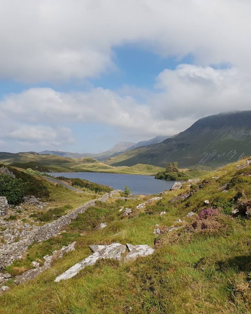
An out-and-back walk from a lay-by on the A4212, climbing through woodland and open moorland towards Yr Oerfa and Foel-boeth, with views over the reservoir and surrounding hills.
2–2.5 hours
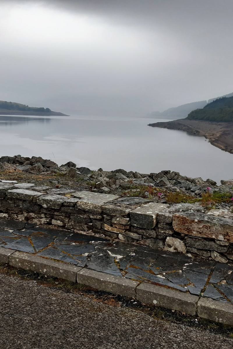
Take in the reservoir from the A4212
The supplied attraction source describes nearby A4212 viewpoints and walking access. Check that any chosen stopping place is safe and that access is permitted.
Make a day of it
Quick escape · Under 1 hour
Quick Escape: take in the reservoir
- 01
Use a suitable stopping place on the A4212 only if parking is permitted.
- 02
Take in the reservoir and surrounding hills from an appropriate viewpoint.
- 03
Do not assume that the shoreline is open for access; check locally before leaving the road.
Half day · 2–2.5 hours
Half Day: walk above Llyn Celyn
- 01
Start from the lay-by on the A4212 described by the route source, after checking current parking and access.
- 02
Follow the out-and-back route through woodland and onto open moorland towards Yr Oerfa and the southern slope of Foel-boeth.
- 03
Pause for views down to the reservoir and across the surrounding hills, then return by the same route.
Verified history
The supplied attraction source states that Llyn Celyn was formed in the Tryweryn valley between 1960 and 1965 to regulate flows in the River Dee and supply water to Liverpool. Its construction submerged the Welsh-speaking village of Capel Celyn and prompted widespread protest. The route source also describes the flooding of the village and surrounding farmland as controversial.
Hidden details
A valley beneath the reservoir — The reservoir occupies the Tryweryn valley, where Capel Celyn and surrounding farmland were submerged during its creation. The sources do not establish that the village remains can be seen today.
When to go
· No specific time of day is established by the supplied sources; check weather and visibility before walking.
The supplied sources describe the landscape and route but do not establish a seasonal highlight.
Check the forecast and route conditions before setting out. The documented route crosses open moorland and includes a steep initial section.
The route
- ascent
- 232 m
- surface
- Includes woodland track and open moorland; detailed surface conditions are not specified.
- distance
- 7.4 km
- duration
- 2–2.5 hours
- difficulty
- Moderate
- route shape
- Out-and-back
- start point
- A lay-by on the A4212 along the northern banks of Llyn Celyn, as described by the route source; confirm access and parking before setting out.
- parking start
- Lay-by on the A4212; current availability and restrictions need checking.
- Views over Llyn Celyn
- Woodland section
- Open moorland towards Yr Oerfa
- Views towards the surrounding hills and mountains
What to look for
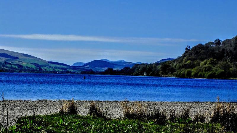
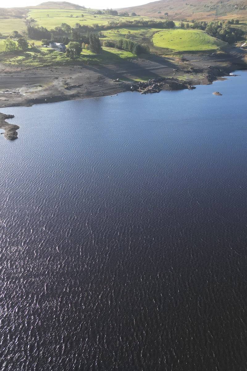
Look across the reservoir towards the surrounding hills, and notice how the present water landscape occupies the former Tryweryn valley. The supplied sources do not establish that submerged village remains are visible.
The story
The flooding of Capel Celyn and the controversy over the creation of the reservoir.
Best time to go
Check local conditions before visiting; no specific seasonal peak is established by the supplied sources.
No specific best time is established by the supplied sources. Check weather and route conditions before walking, particularly for exposed sections.
How long to spend
1–2 hours
Perfect for
Walkers · Photographers · History lovers
Before you go
Address
Google rating
Practical information
Opening & access
A reservoir in the Tryweryn valley, with views from the nearby A4212 and a walking route starting at a lay-by on the road’s northern shore. Confirm current access and conditions before setting out. Access arrangements are unconfirmed. Check before visiting; do not enter private land or restricted structures.
Check before visiting
Parking
A lay-by on the A4212 is described as the start of the Llyn Celyn and Ffordd y Drum route. Check parking availability and restrictions before travelling.
Check before visiting
Toilets
Check before visiting
Check before visiting
Food & drink
Check before visiting
Check before visiting
Dogs
Check before visiting
Check before visiting
Accessibility
The described hill route is 7.4 km, with 232 m of ascent and a moderate rating. The route includes open moorland and a steep initial section; check conditions and access before setting out.
Check before visiting
Cost
Check before visiting
Check before visiting
Water
Reservoir
Gallery
Place photographs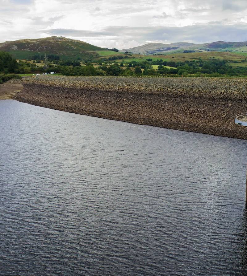
Keep exploring
Around Llyn Celyn
Within 50 km · approximate straight-line distances