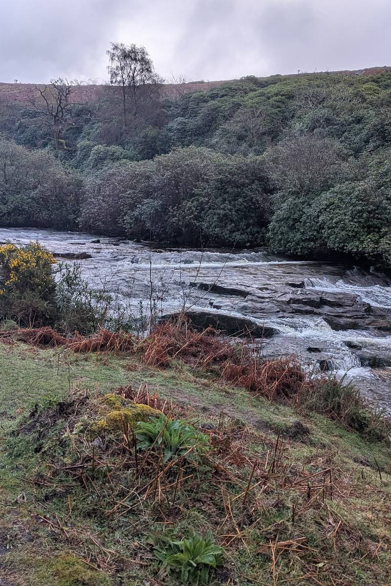
South Dartmoor, near South Brent, Devon
Avon Dam Reservoir
Reservoir
Place photograph
6.3
Wildland
1–2 hours for the walk to the dam
Time
Check
Cost
Peaceful
Feel
Why it's Wildland
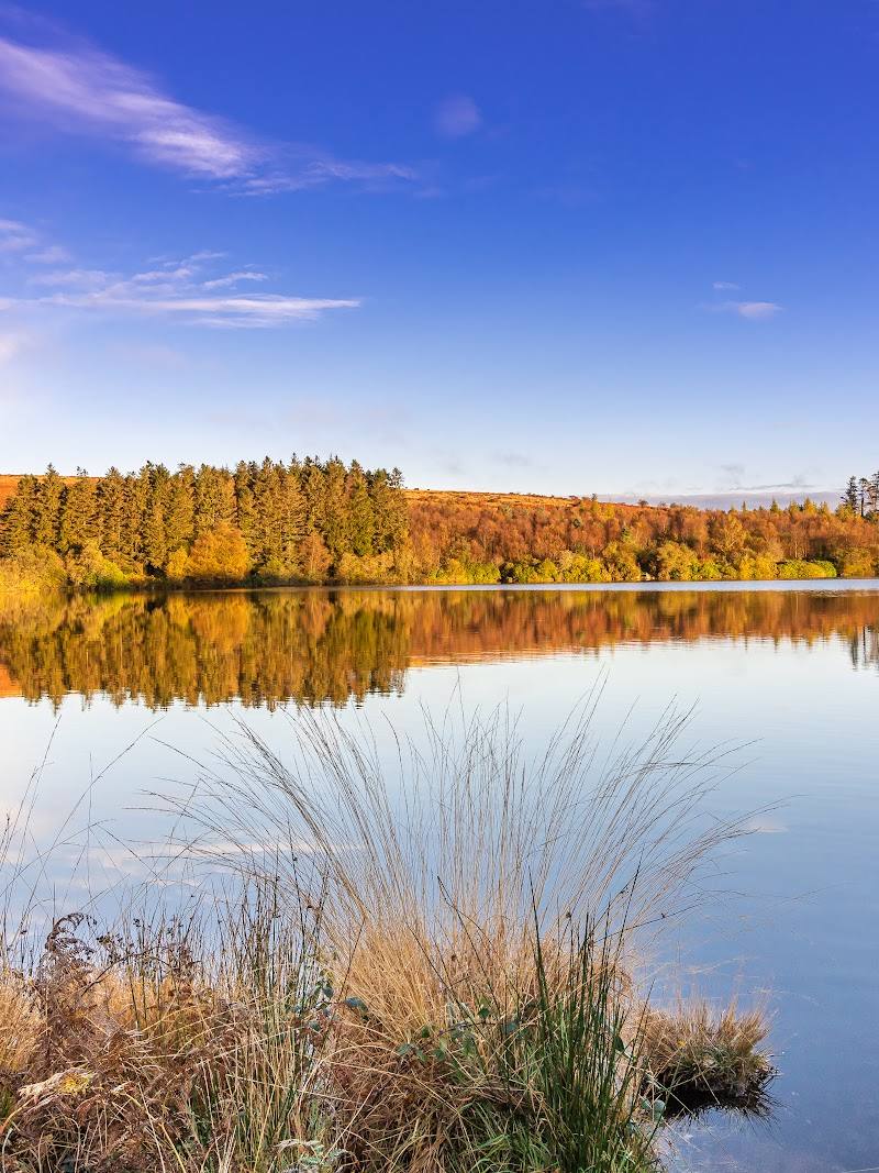
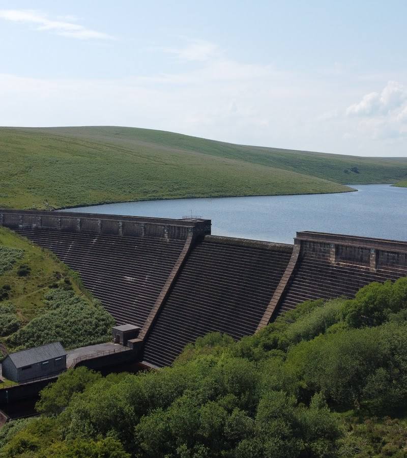
6.3A moorland reservoir reached by a riverside walk, where the water and open Dartmoor scenery are part of the outing rather than a roadside stop.
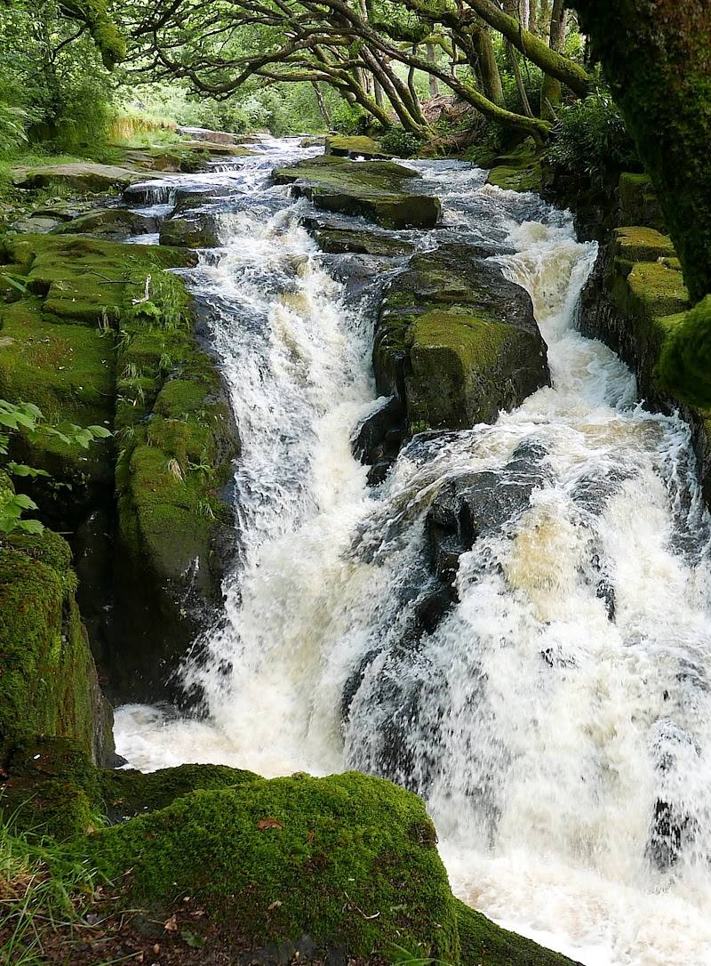
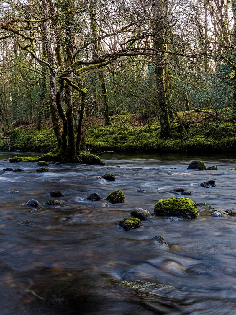
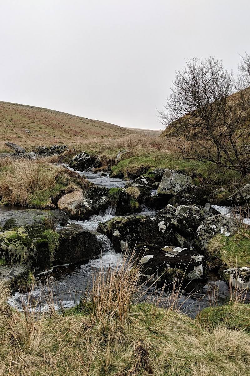
The appeal is the journey as much as the reservoir: a walk beside the River Avon leads from Shipley Bridge towards open moorland and the dam. Extend it into a longer loop for traces of the area’s industrial past and wide Dartmoor views.
Peaceful · Wild · Big-sky
Find your way
Open mapSouth Dartmoor, near South Brent, Devon
Opening map…
Know this place a little better?
The experience
Walk from Shipley Bridge beside the River Avon to the reservoir, or choose a longer circular route that adds moorland scenery and industrial heritage. Birdwatching is another reason to take the walk slowly. No swimming or paddling permission is established by the supplied sources.
Things to do
Follow the River Avon to the dam
Walk from Shipley Bridge along the riverside path to Avon Dam Reservoir. One source describes the route as mostly tarmacked, steepening near the dam.
Look for goosander
The reservoir is described as a goosander roost site. Birds may leave for nearby rivers around sunrise, so an early visit may improve your chance of seeing them.
Scan the rowan trees in autumn
The birding account notes that fruiting rowan trees can attract blackbird, ring ouzel, mistle thrush, song thrush, redwing and fieldfare.
Explore the longer moorland circuit
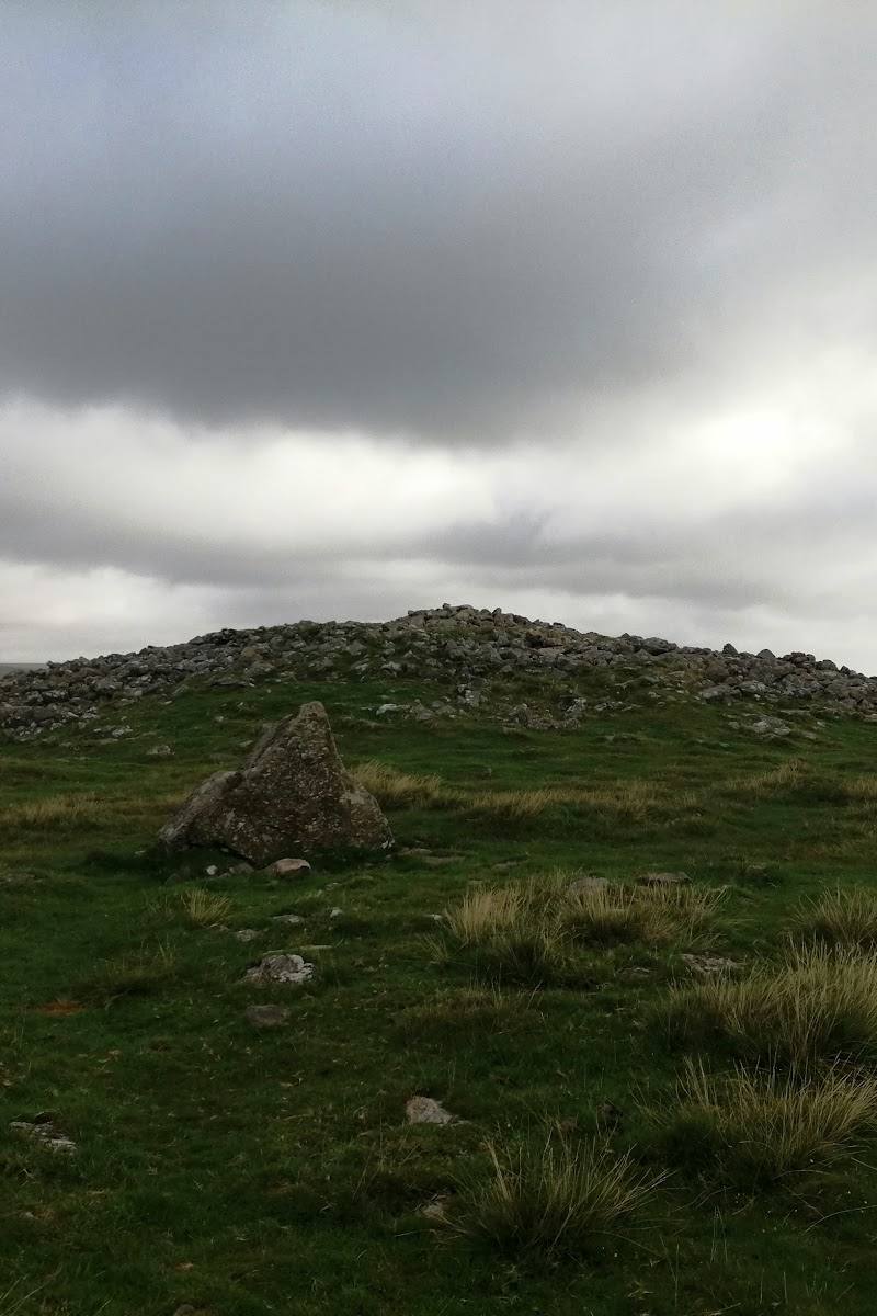
A described loop from Shipley Bridge includes the reservoir, remnants of settlement, Brockhill Stream, Western White Barrow and the South Zeal Tramway route. Expect hilly terrain and be prepared for wet or boggy conditions.
3–3.5 hours
Make a day of it
Quick escape · Allow several hours; check route conditions before setting out
Walk to the dam
- 01
Start from Shipley Bridge car park.
- 02
Follow the riverside path alongside the River Avon towards the reservoir.
- 03
Pause at the dam for views across the water, then return by the same route.
Half day · 3–3.5 hours
Make a moorland loop of it
- 01
Begin at Shipley Bridge car park and follow the route towards Avon Dam Reservoir.
- 02
Continue beyond the reservoir towards Brockhill Stream and the open moorland.
- 03
Take in the route’s settlement remains and views from Western White Barrow.
- 04
Return towards Shipley Bridge by the South Zeal Tramway route.
Verified history
Avon Dam Reservoir was completed in 1957 to provide drinking water for lowland communities, according to the supplied attraction description. The longer walking route is described as passing remnants connected with the area’s industrial past. A birding source says falling water levels can reveal Bronze Age hut circles; this is a reported possibility, not a guaranteed sight.
Hidden details
Rowan trees as birdwatching clues — In autumn, check fruiting rowan trees for thrushes and other birds. The source lists blackbird, ring ouzel, mistle thrush, song thrush, redwing and fieldfare as possible visitors.
When to go
January · February · March · April · May · June · July · August · September · October · November · December · Early morning for the chance of seeing goosander before they leave for nearby rivers.
The birding source describes the site as worthwhile throughout the year. It highlights autumn rowan fruit and winter birding, while spring migration is also noted as a season of interest.
Dartmoor weather can change quickly; mist and fog may descend without warning. Check the forecast and carry suitable clothing and navigation equipment for walks onto open moorland. Paths may be wet or boggy after rain.
The route
- ascent
- 918 ft
- surface
- Described as a mixture of paved road, wide path, unpaved road and narrow trail; can be wet or boggy after rain.
- distance
- 7.3 miles for the Avon Dam and Zeal Tor Tramway loop
- duration
- 3–3.5 hours
- difficulty
- Moderate
- route shape
- Loop
- start point
- Shipley Bridge car park
- parking start
- Shipley Bridge car park is identified as the route start. Parking may fill quickly; arrive early and check current arrangements.
- shorter alternative
- Walk from Shipley Bridge to the dam and return by the riverside path; check current conditions and allow time for the out-and-back walk.
- River Avon
- Avon Dam Reservoir
- Brockhill Stream
- Remnants of settlement
- Western White Barrow
- South Zeal Tramway route
What to look for
Watch for goosander around the reservoir, especially before sunrise when birds may leave for nearby rivers. In autumn, look among fruiting rowan trees for thrushes, including redwing and fieldfare. The longer loop also passes remnants of settlement and industrial history.
The story
Industry
Best time to go
All year; autumn and winter are particularly interesting for birdwatching, while conditions can change quickly on Dartmoor.
Birding sources describe the site as useful throughout the year, with autumn noted for thrushes and winter for goosander. For walks farther onto the moor, choose a clear forecast: mist and fog can arrive quickly.
How long to spend
1–2 hours for the walk to the dam; Half day for the longer loop
Perfect for
Walkers · Photographers · Wildlife lovers
Before you go
Address
Google rating
Practical information
Opening & access
A walk to the dam is described from Shipley Bridge car park, following the River Avon. Route conditions and access arrangements can change; check before visiting. Do not assume that swimming or other water activities are permitted. Access arrangements are unconfirmed. Check before visiting; do not enter private land or restricted structures.
Check before visiting
Parking
Shipley Bridge car park is identified as a walk starting point. Parking may fill quickly; arrive early and check current arrangements.
Check before visiting
Toilets
Check before visiting
Check before visiting
Food & drink
Check before visiting
Check before visiting
Dogs
Dogs may encounter horses and cattle on the longer route; keep dogs on a lead where needed and check local guidance.
Check before visiting
Accessibility
One source describes a mostly tarmacked riverside path that steepens near the dam; another gives a longer route with hilly, rocky and potentially wet sections. Do not assume the whole route is wheelchair accessible. Check current conditions and suitability before setting out.
Check before visiting
Cost
Check before visiting
Check before visiting
Water
Reservoir; River Avon
Gallery
Place photographsKeep exploring
Around Avon Dam Reservoir
Within 50 km · approximate straight-line distances