Shipley Bridge, near South Brent, Devon
Shipley Bridge to Avon Dam
route · Waterside walk
Place photograph
6.4
Wildland
Half day
Time
Check
Cost
Peaceful
Feel
Why it's Wildland
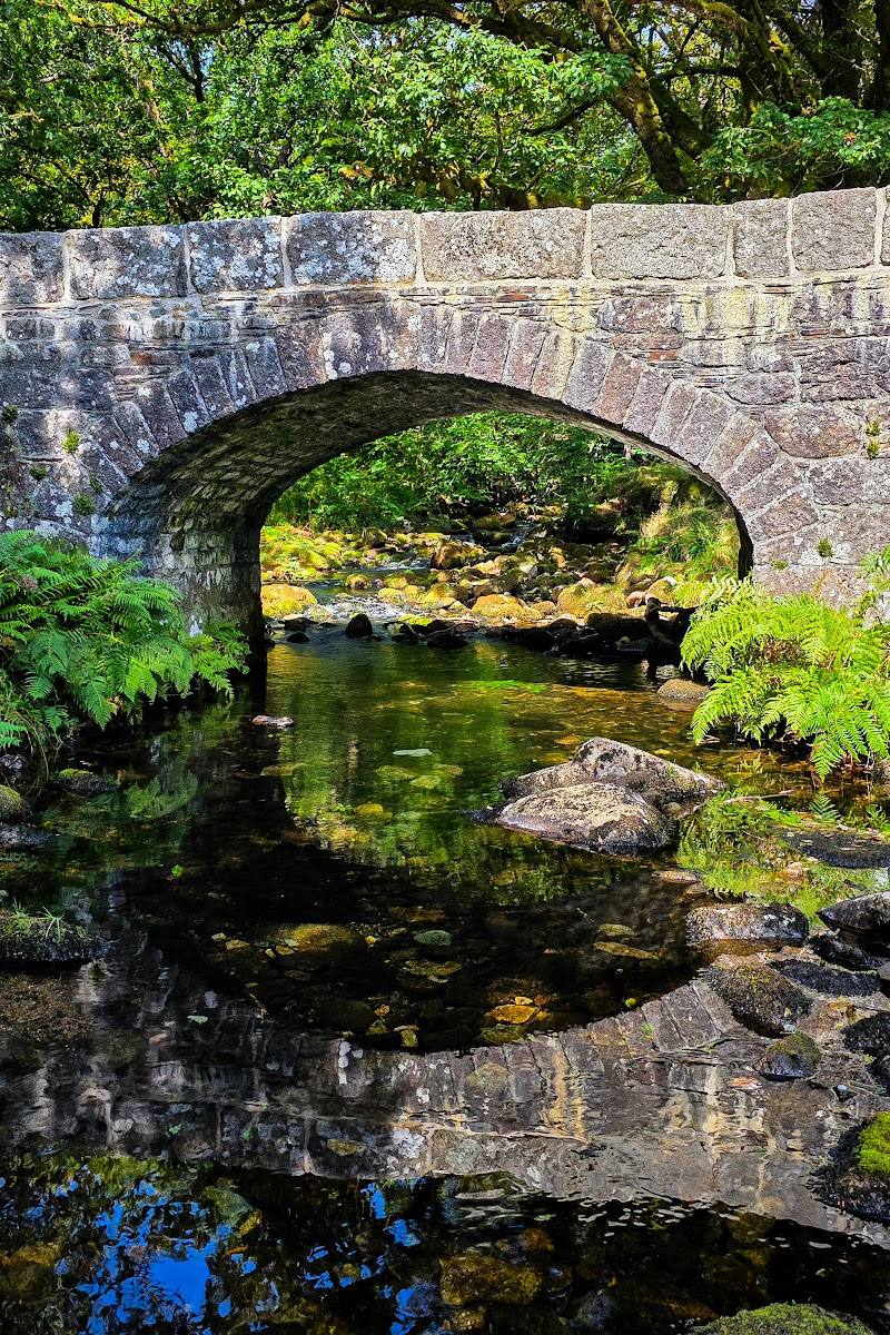
6.4From Shipley Bridge, a broad path follows the River Avon past small waterfalls and through a sheltered valley before opening onto the moor and reaching Avon Dam.
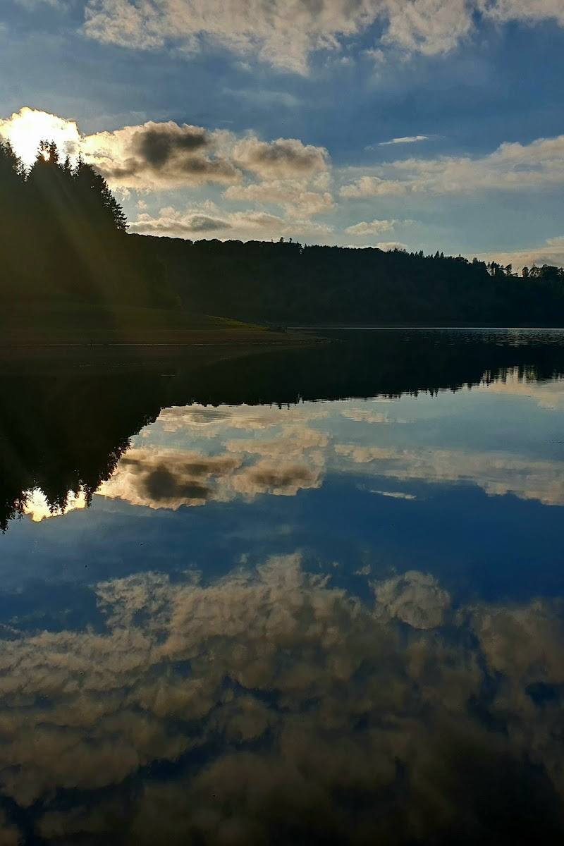
This is more than a straightforward reservoir walk: the riverside approach passes small waterfalls beneath trees, then makes a gradual transition from sheltered valley to open Dartmoor. The surfaced route to the dam is a practical way to experience that changing landscape.
Peaceful · Wild
Find your way
Open mapShipley Bridge, near South Brent, Devon
Opening map…
Know this place a little better?
The experience
Follow the broad surfaced route upstream from Shipley Bridge, taking in the small waterfalls and wooded river section before continuing across the open moor to Avon Dam. The official Miles Without Stiles route provides shorter turn-back options at picnic-table locations.
Things to do
Follow the River Avon upstream
Walk the surfaced route from Shipley Bridge through the treed riverside section and onward towards the dam.
Pause at the small waterfalls
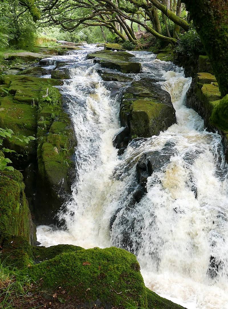
The official route description notes a series of small waterfalls in the treed area near the start.
Continue to Avon Dam
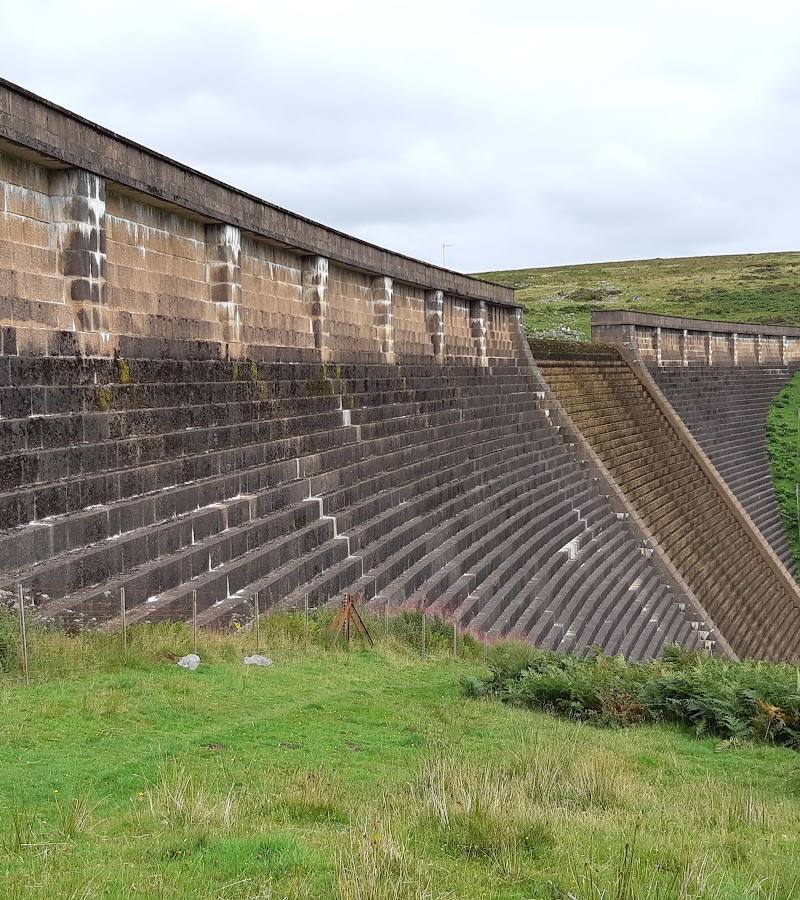
Go beyond the picnic-table points to the base of Avon Dam, then return to Shipley Bridge by the same route.
Make a day of it
Quick escape · Allow time to walk to a picnic-table point and return; exact duration is not stated in the official route details.
The short riverside wander
- 01
Start at Shipley Bridge car park.
- 02
Follow the surfaced route beside the River Avon.
- 03
Turn back at one of the picnic-table locations described by Dartmoor National Park.
Half day · The official accessible-route page gives 2km to the base of the dam. A separate supplied source describes the dam-and-return walk as 3 miles and easy.
Follow the river to Avon Dam
- 01
Begin at Shipley Bridge car park.
- 02
Follow the River Avon upstream, passing the small waterfalls in the treed section.
- 03
Continue out onto open moorland to the base of Avon Dam, then return by the same route.
Verified history
Visit Dartmoor reports that remains of 19th-century naphtha works stand in the Shipley Bridge car park; the works were later used for processing china clay from Bala Brook. The same source describes Huntingdon Cross as a former Abbot’s Way marker that was also used in the mid-16th century by Sir William Petre to mark the boundary of his Brent estate. These details concern the longer Avon Dam and Zeal Tor Tramway walk, rather than the short accessible route alone.
Hidden details
Industrial remains at the start — Visit Dartmoor identifies the structure in the car park as the remains of 19th-century naphtha works, later used to process china clay from Bala Brook.
Huntingdon Cross on the longer walk — On the extended route, Huntingdon Cross is described as an Abbot’s Way marker later used by Sir William Petre as a boundary marker for his Brent estate.
When to go
· Not specified in the supplied sources.
The supplied sources do not give seasonal advice.
Check the weather and route conditions before setting out; no specific weather guidance is provided in the supplied sources.
The route
- stiles
- Not stated in the supplied route excerpt; check the official route details.
- surface
- Wide tarmac road on the official Miles Without Stiles route.
- distance
- The official accessible route gives 1km and 1.75km to picnic-table locations and 2km to the base of the dam. A separate source describes the dam-and-return walk as 3 miles; these figures may use different endpoints or measures.
- duration
- A supplied Facebook excerpt says approximately 2 miles (3.2km) each way and 1–1.5 hours to walk to the dam, with the same time to return. Check against the official route information before relying on this estimate.
- difficulty
- Gentle gradient on the official Miles Without Stiles route; the longer circuit is described by Visit Dartmoor as medium difficulty.
- route shape
- Out and back to Avon Dam; shorter turn-back options at picnic-table locations.
- start point
- Shipley Bridge car park, SX681629.
- parking start
- Shipley Bridge car park; pay and display according to Dartmoor National Park.
- shorter alternative
- Walk to either picnic-table location and return; Dartmoor National Park lists distances of 1km and 1.75km to these points.
- Small waterfalls beside the River Avon in the treed section
- Two picnic-table locations on the route
- The transition from sheltered valley to open moorland
- Avon Dam
Worth pairing with
South Brent
Visit Dartmoor identifies South Brent as the nearest place for refreshments. No particular venue is named in the supplied sources.
Avon Dam and Zeal Tor Tramway walk
For a substantially longer outing, Visit Dartmoor describes a seven-mile circuit around the reservoir taking in an ancient trackway and two crosses. This is a separate, longer walk and should not be confused with the accessible route to the dam and back.
What to look for
Notice the shift from the treed riverside and its small waterfalls to the more open moorland. On the longer Avon Dam and Zeal Tor Tramway walk, look for the remains of the 19th-century naphtha works at Shipley Bridge and Huntingdon Cross.
The story
Industrial remains at Shipley Bridge; an extended walk can visit the Abbot’s Way and Huntingdon Cross.
Best time to go
Check conditions before setting out; the supplied sources do not identify a best season.
No season or time of day is specified in the supplied sources. Check the forecast and route conditions before setting out.
How long to spend
Half day
Perfect for
Walkers · Families · Young children
Route at a glance
Duration
Half day
Terrain
Riverside, Valley
Parking / start
Shipley Bridge car park, SX681629; pay and display according to Dartmoor National Park. Check current arrangements before visiting.
Before you go
Address
Practical information
Opening & access
Dartmoor National Park describes this as a Miles Without Stiles route. The car park is pay and display. Check current access and parking arrangements before travelling.
Check before visiting
Parking
Shipley Bridge car park, SX681629; pay and display according to Dartmoor National Park. Check current arrangements before visiting.
Check before visiting
Toilets
Dartmoor National Park lists disabled public toilets beside the car park; no RADAR key is needed. Check availability before visiting.
Check before visiting
Food & drink
Check before visiting. Visit Dartmoor lists South Brent as the nearest place for refreshments.
Check before visiting
Dogs
Check before visiting and follow current signage.
Check before visiting
Accessibility
Dartmoor National Park describes the route as a gentle-gradient, wide tarmac road in a sheltered valley and categorises it as suitable for all. Its route information gives distances of 1km and 1.75km to picnic tables and 2km to the base of the dam. Check the official route details for current conditions and any limitations.
Check before visiting
Cost
Paid parking; check current charges.
Check before visiting
Water
River Avon and Avon Dam reservoir. No swimming or paddling permission is established by the supplied sources.
Gallery
Place photographs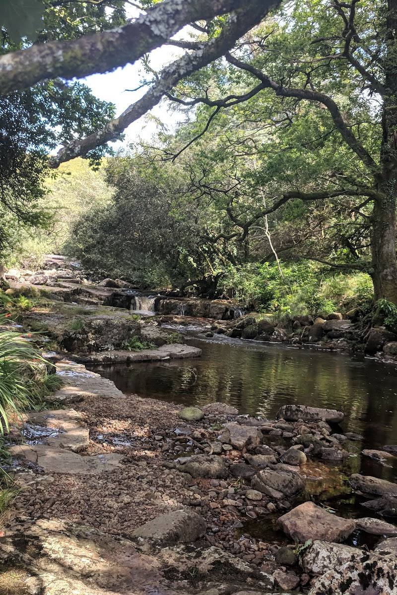
Keep exploring
Around Shipley Bridge to Avon Dam
Within 50 km · approximate straight-line distances


 Place photograph7.2
Venford Reservoir
Venford Reservoir, Dartmoor, Devon, near Newton Abbot
8.0 km away
 Place photograph5.8
Norsworthy Bridge
Northeast side of Burrator Reservoir, Dartmoor National Park, Devon
13.0 km away