Retford Road, Swallownest, Sheffield S13 9WD
Woodhouse Washlands Nature Reserve
Mixed-habitat reserve
Source image
6.4
Wildland
1–2 hours
Time
Check
Cost
Peaceful
Feel
Why it's Wildland
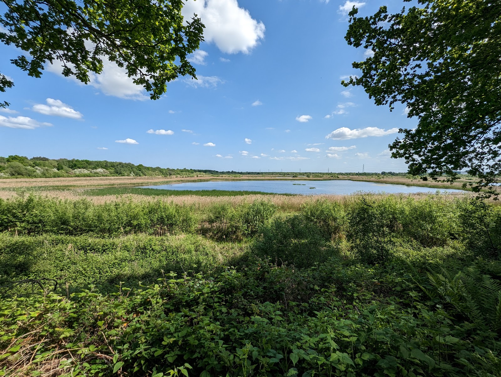
6.4This 53-hectare floodplain reserve preserves a patchwork of grassland, scrub, swamp, ditches and ponds beside the Rother. The river once meandered through extensive marshland here; flood-control works straightened it and reshaped the landscape around 1960.
A substantial, varied slice of Rother floodplain where meadow, marsh, ponds and scrub meet the river. Its story is unusually tangible: the landscape still reflects the shift from a regularly flooded, meandering river to a managed floodplain, while its paths offer a close look at the habitats and wildlife that remain.
Peaceful · Wild
Find your way
Open mapRetford Road, Swallownest, Sheffield S13 9WD
Opening map…
Know this place a little better?
The experience
Follow the accessible paths where conditions allow, taking time to scan the shallow pools and scrub for birds. The site’s habitats and access vary across the river, so plan around current conditions rather than assuming a complete circuit.
Things to do
Watch the shallow pools
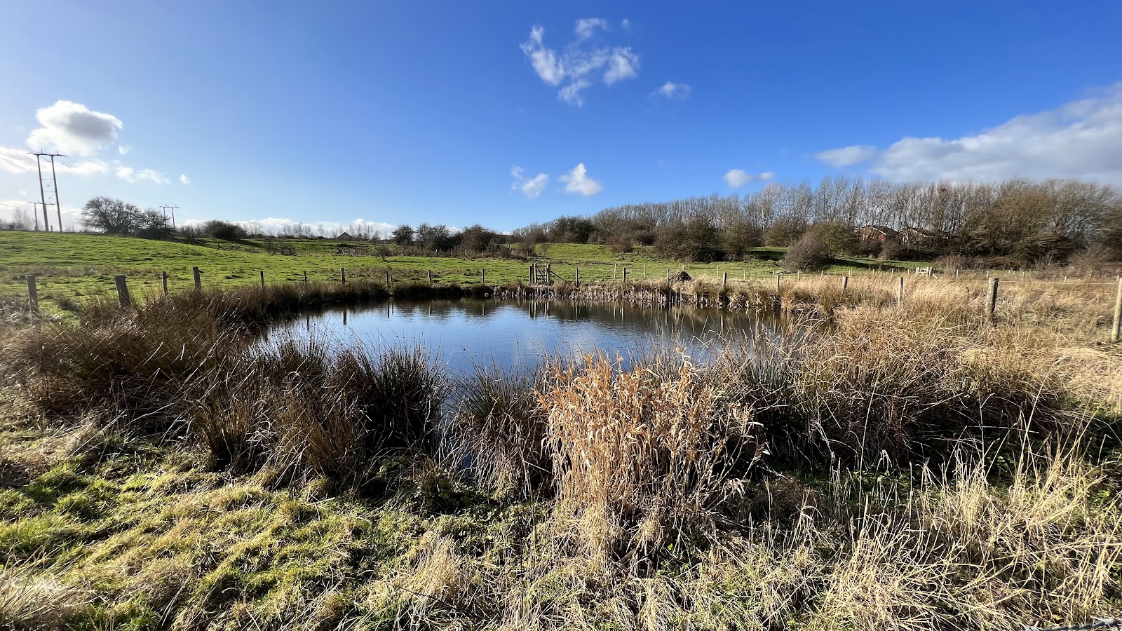
Scan the shallow pools, particularly on the eastern side of the river, for ducks such as Shoveler and Wigeon. Wildlife sightings are not guaranteed.
Allow time to pause while walking
Look for a kingfisher along the Rother
Watch the river for a brief turquoise flash: the local RSPB group identifies kingfisher as a species to look out for here. Do not approach or disturb wildlife.
Flexible
Listen and look for summer hirundines
In summer, Swallows, Swifts and Martins feed over the washlands. Watch the open sky above the grassland and scrub.
Flexible
Notice the floodplain habitat mosaic
Compare wet and dry grassland, marsh, swamp, ditches, ponds and scrub as you walk. The variety is the reserve’s defining feature.
During a walk
Follow the Trans-Pennine Trail edge
The trail runs along the eastern edge of the reserve and is described as easier for cyclists and wheelchair users in good weather. It can be very muddy when wet; check conditions first.
Check route length and conditions before setting out
Make a day of it
Quick escape · About 1–2 hours
Quick escape: scan the washlands
- 01
Check the reserve’s current access information, especially after wet weather.
- 02
Choose an open public or permissive path and explore the section available from your access point; do not assume there is a continuous loop between both riverbanks.
- 03
Pause by the shallow pools and scrub to watch for birds, then scan the river for a kingfisher.
Half day · Half day
Make a half day of it: follow the river’s changing landscape
- 01
Check current access and weather conditions before you go; paths can be muddy and the reserve may close after wet weather.
- 02
Explore a permitted path on one side of the Rother, looking across the mosaic of wet and dry grassland, marsh, ponds, ditches and scrub.
- 03
Watch the shallow pools for ducks and scan the river and summer sky for birds.
- 04
If conditions and access permit, continue along the Trans-Pennine Trail on the eastern edge; it is reported to be easier for cyclists and wheelchair users in good weather, but muddy when wet.
Verified history
The washlands preserve a landscape shaped by both the Rother and flood engineering. According to the Sheffield RSPB local group, until the 1950s the river meandered through extensive marshland and flooded regularly; a rowing boat was kept at the Methodist chapel to carry people between housing and factories. A flood-alleviation scheme followed: by 1960 the river had been straightened, flood banks built and ditches dug to control water. The source says the river has flooded the area only three times since. The reserve’s grassland, marsh, ditches, ponds and scrub reflect the floodplain landscape that once fringed the river.
Hidden details
The river used to meander through marshland — The Rother once followed a winding course through extensive marshland here. Flood-control works had straightened the river and altered the floodplain by 1960.
A boat once linked homes and factories — The local RSPB account records that regular flooding disrupted journeys so severely that a rowing boat was kept at the Methodist chapel to carry people between housing and factories.
Metal sculptures interpret the washlands — Metal sculptures along the route represent aspects of the area’s industrial history, plants and animals. Look out for them while following open paths.
Old meadow plants and crack willow — The local RSPB account records meadow plants including Pignut and Harebell, damp-grassland species including Celery-leaved Buttercup and Southern Marsh Orchid, and ancient Crack Willow trees beside a small section of the original river near the reserve’s north-east corner.
When to go
Winter · Summer · Choose a calm, clear period when current paths are open; no specific time of day is verified.
The supplied local wildlife source notes Goosander in winter and Swallows, Swifts and Martins feeding over the area in summer. It also records seasonal waterbirds and breeding birds, but does not establish exact peak dates.
Paths can become very muddy when wet; the reserve may close during and after wet weather. Check current access before travelling.
What to look for
Look for kingfishers flashing along the river, wintering Goosander and ducks on shallow pools, and summer hirundines feeding overhead. The reserve also has Southern Marsh Orchid, old meadow plants and ancient Crack Willow trees beside a remnant section of the original river. Wildlife sightings are not guaranteed.
The story
Industry; flood management; river landscape
Best time to go
Winter for waterbirds such as Goosander, Shoveler and Wigeon; summer for Swallows, Swifts and Martins feeding over the reserve. Wet weather can make paths muddy and may lead to closure.
Choose a calm, clear winter day to look for waterbirds, or a summer visit for Swallows, Swifts and Martins feeding over the reserve. Avoid relying on paths after prolonged wet weather: the reserve may close and the Trans-Pennine Trail can become very muddy.
How long to spend
1–2 hours
Perfect for
Walkers · Wildlife lovers · Photographers · Cyclists
Before you go
Address
Phone
Website
Listed hours
- Monday: Open 24 hours
- Tuesday: Open 24 hours
- Wednesday: Open 24 hours
- Thursday: Open 24 hours
- Friday: Open 24 hours
- Saturday: Open 24 hours
- Sunday: Open 24 hours
Check before visiting.
Google rating
Practical information
Opening & access
Managed by Sheffield and Rotherham Wildlife Trust. The reserve has a mixture of public and permissive footpaths, including paths on the river flood banks. Access differs between the two sides of the Rother; the site may close during and after wet weather. Check current conditions before setting out.
Check before visiting
Parking
Parking availability and location are not verified; check before visiting. The supplied Google Maps pin marks the main place, not an entrance or parking point.
Check before visiting
Toilets
Check before visiting
Check before visiting
Food & drink
Check before visiting
Check before visiting
Dogs
The supplied source listing says dogs are allowed; check current reserve rules and any restrictions before visiting.
Check before visiting
Accessibility
Limited wheelchair access across the reserve. The Trans-Pennine Trail along the eastern edge is described as easier for wheelchair users and cyclists in good weather, but can become very muddy when wet. Check current conditions and access before travelling.
Check before visiting
Cost
Check before visiting
Check before visiting
Water
River, ponds, ditches, swamp and temporary pools. Swimming and paddling permissions are not verified.
Gallery
Place photographsKeep exploring
Around Woodhouse Washlands Nature Reserve
Within 50 km · approximate straight-line distances
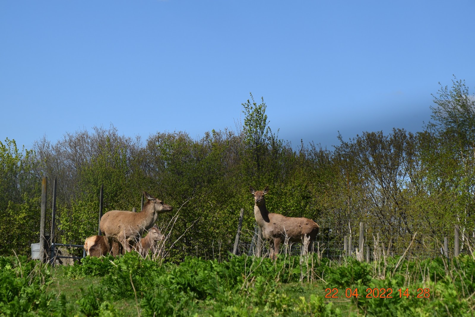 Place photograph5.3
Aston Springs Farm
Aston, near Sheffield and Rotherham, South Yorkshire
3.1 km away
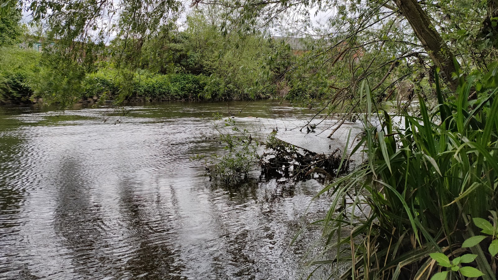 Source image6.6
Centenary Riverside Nature Reserve
Riverside Way, Rotherham, South Yorkshire S60 1DS
7.0 km away
 Place photograph6.5
Maltby Low Common Nature Reserve
Off Outgang Lane, Maltby, South Yorkshire S66 7JX
12.5 km away