Dunluce Road, Portrush, County Antrim, Northern Ireland, BT56 8NB
White Rocks
Beach
Place photograph
8.0
Wildland
1–2 hours
Time
Check
Cost
Dramatic
Feel
Why it's Wildland
8.0Soft sedimentary cliffs have been shaped into a coastal landscape of caves, arches and distinctive rock forms, between Curran Strand and Dunluce Castle.
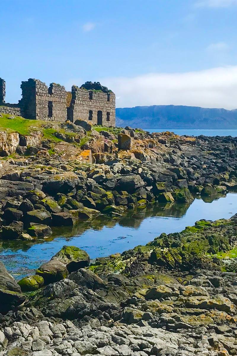
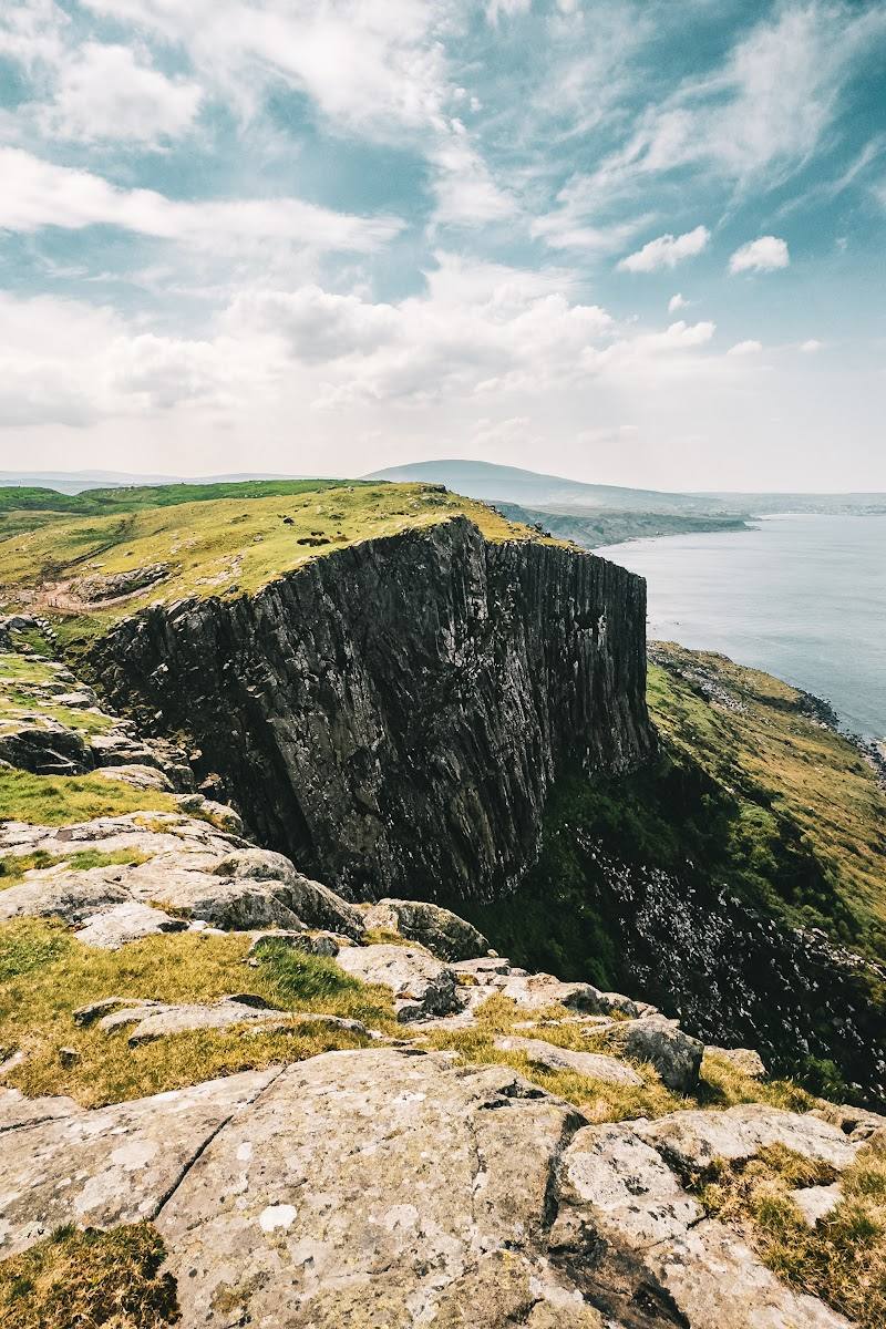
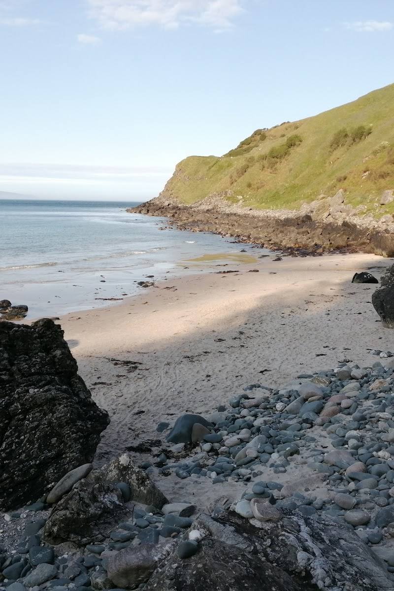
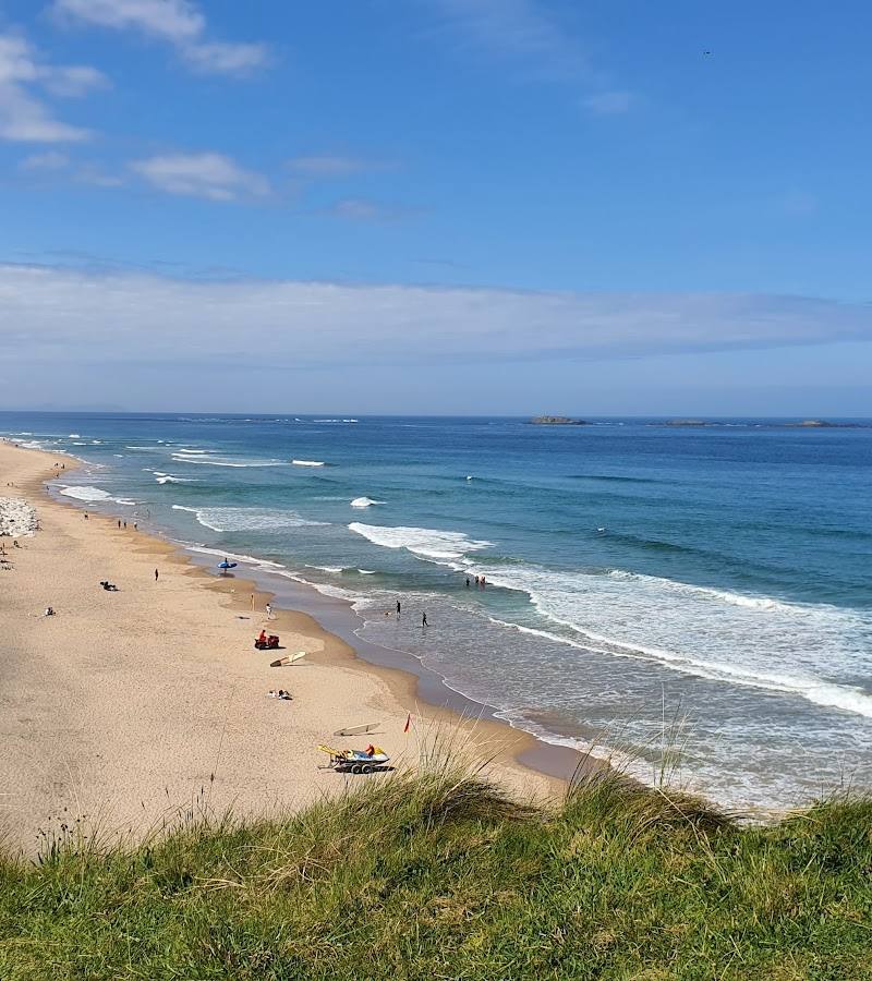
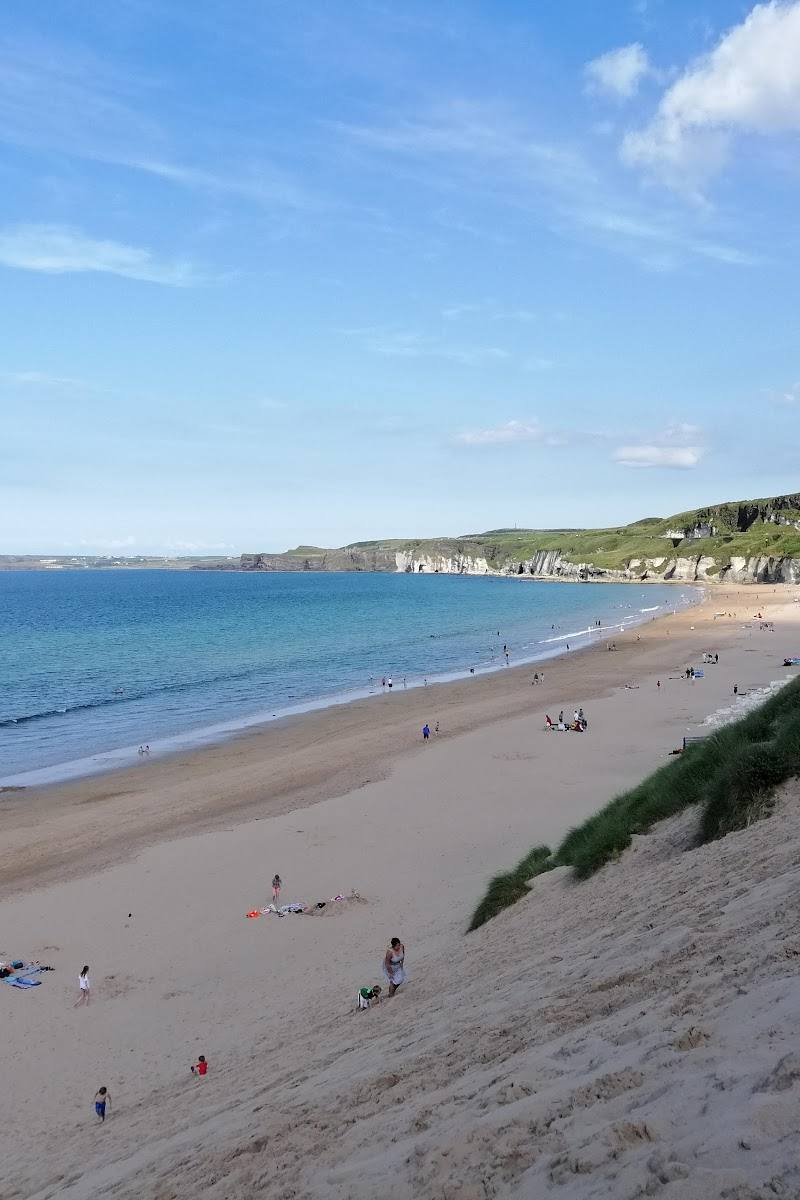
White Rocks is more than a stretch of sand: its sculpted limestone cliffs, sea-carved caves and named rock formations give the shoreline a strong sense of place. Walk the coast towards Portrush or east towards Magheracross for changing views along this exposed Atlantic edge.
Dramatic · Wild · Big-sky
Find your way
Open mapDunluce Road, Portrush, County Antrim, Northern Ireland, BT56 8NB
Opening map…
Know this place a little better?
The experience
Allow 1–2 hours for a beach visit and a section of the coast walk. Take in the named rock formations, then follow the sand towards Portrush or the cliff path east for wider coastal views. The council also describes the beach as popular with surfers and other water-sports users; check conditions and local safety advice before entering the water.
Things to do
Find the named rock formations
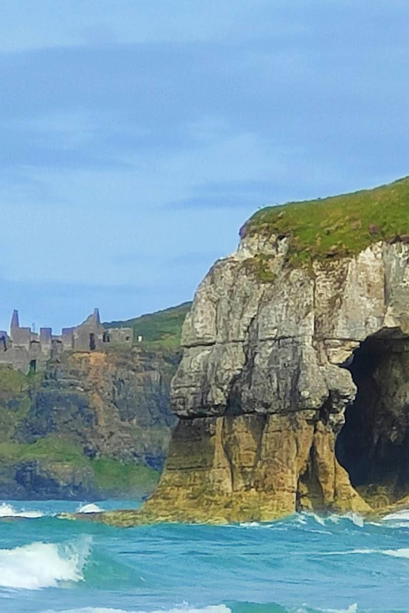
Look for Shelagh’s Head, the Wishing Arch, Elephant Rock and the Lion’s Paw, identified by the council as distinctive forms rising from the ocean.
Allow within a beach visit
Walk the shore towards Portrush
Follow the continuous stretch of sand west towards Portrush and East Strand. Check tide, weather and local conditions before setting out.
Take the cliff path east
The council identifies the cliff path as part of the Ulster Way, Causeway Coast Way and International Appalachian Trail, with views east and west; it can lead towards Magheracross viewpoint.
Watch surfers and other water-sports users
The council reports year-round interest from surfers, bodyboarders and surf kayakers. This is an observation activity, not confirmation of permission or suitability for taking part; check current conditions and local safety advice.
Make a day of it
Quick escape · 1–2 hours
Quick escape: beach and rock formations
- 01
Use the main car park beside the beach, checking availability on arrival.
- 02
Follow the boardwalk access down to the sand.
- 03
Look for the named coastal forms: Shelagh’s Head, the Wishing Arch, Elephant Rock and the Lion’s Paw.
- 04
Return the same way, or walk a section of the beach towards Portrush if conditions and access allow.
Half day · Half day
Make a half day of it: beach and coast path
- 01
Start with the beach and its sea-shaped cliff formations.
- 02
Walk west along the continuous stretch of sand towards Portrush, or take the cliff path east towards Magheracross viewpoint.
- 03
Allow time to stop for views in both directions; check local conditions before setting out and do not enter sea caves from the cliffs.
Verified history
The council describes the soft sedimentary rocks at Whiterocks as having been carved over centuries into caves and arches. The formations include Shelagh’s Head, the Wishing Arch, Elephant Rock and the Lion’s Paw. Caves beneath the road are accessible only from the sea; the council says they are home to seabirds and are hunted over by birds of prey, including occasional peregrine falcons.
Hidden details
The caves are sea-access only — Cavernous caves lie beneath the road, but the council says they are accessible only from the sea. Treat them as a view-from-a-distance feature rather than attempting access from the shore or cliffs.
Look for the named cliff forms — The Wishing Arch, Elephant Rock, the Lion’s Paw and Shelagh’s Head are named landmarks in the council’s description of the coast.
When to go
July · August · Choose a clear spell for coastal views. The listed seasonal lifeguard service operates in July and August, 10am–6pm daily; verify current arrangements before visiting.
The council describes White Rocks as a year-round destination for water sports. Its seasonal RNLI lifeguard service is listed for July and August; this does not establish cover at other times.
This is an exposed coastal setting. Check the forecast, tides and local safety information before walking the shore or considering water activities.
The route
- start point
- White Rocks beach, accessed from the adjacent car park and boardwalk.
- parking start
- The council lists free parking in the main car park and overflow areas beside the beach; check availability.
- shorter alternative
- Stay on the beach and explore the rock formations without taking the longer cliff path.
- Sculpted coastal cliffs and named rock formations
- Continuous sandy shore towards Portrush and East Strand
- Cliff-path views east and west, with Magheracross viewpoint farther east
Worth pairing with
Portrush
Walk west along the continuous stretch of sand towards Portrush and East Strand. The supplied source supports the coastal connection but does not verify particular cafés or other businesses.
Magheracross viewpoint
The council identifies the viewpoint east of White Rocks as a possible continuation along the cliff path.
Dunluce Castle
The council describes the cliffs as stretching towards Dunluce Castle; the supplied evidence does not establish a particular route or visit arrangement between the beach and castle.
What to look for
Look for Shelagh’s Head, the Wishing Arch, Elephant Rock and the Lion’s Paw: distinctive forms identified by the council. Caves beneath the road are accessible only from the sea, so do not attempt to enter them from the cliffs or beach.
The story
Coastal geology and natural erosion
Best time to go
Year-round; the council describes the beach as a year-round destination for water-sports enthusiasts. Seasonal lifeguard cover is listed for July and August only.
Choose a clear, calm spell for coastal views and walking. The council lists seasonal RNLI lifeguards in July and August, daily 10am–6pm; do not assume lifeguard cover outside those dates or hours.
How long to spend
1–2 hours
Perfect for
Walkers · Photographers · Families · Dogs
Before you go
Address
Google rating
Practical information
Opening & access
A public beach beside the Causeway Coastal Route, with boardwalk access to the sand. The council lists free parking beside the beach. Check current conditions and any access restrictions before travelling.
Check before visiting
Parking
The council lists free parking in the main car park and overflow areas beside the beach. Check current availability before visiting.
Check before visiting
Toilets
The council lists toilets, including disabled toilets, in the amenity block.
Food & drink
Check before visiting.
Check before visiting
Dogs
Dogs are allowed, with restrictions from 1 June to 15 September. Check current local signage for details.
Check before visiting
Accessibility
The council lists boardwalk access to the beach, disabled parking and disabled toilets. Check current conditions and suitability for your needs before travelling.
Check before visiting
Cost
Free parking is listed; check before visiting for any other costs.
Check before visiting
Water
Sea
Gallery
Place photographs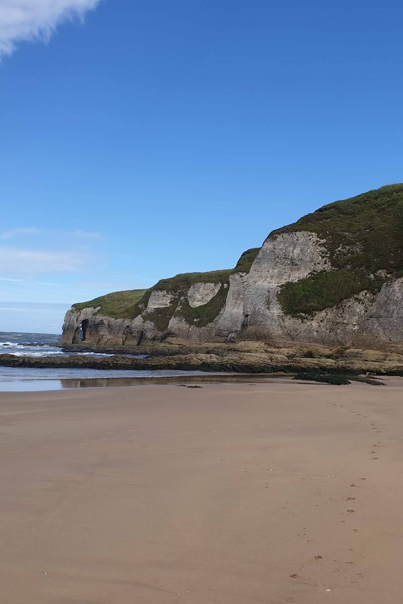
Keep exploring
Around White Rocks
Within 50 km · approximate straight-line distances

 Place photograph7.2
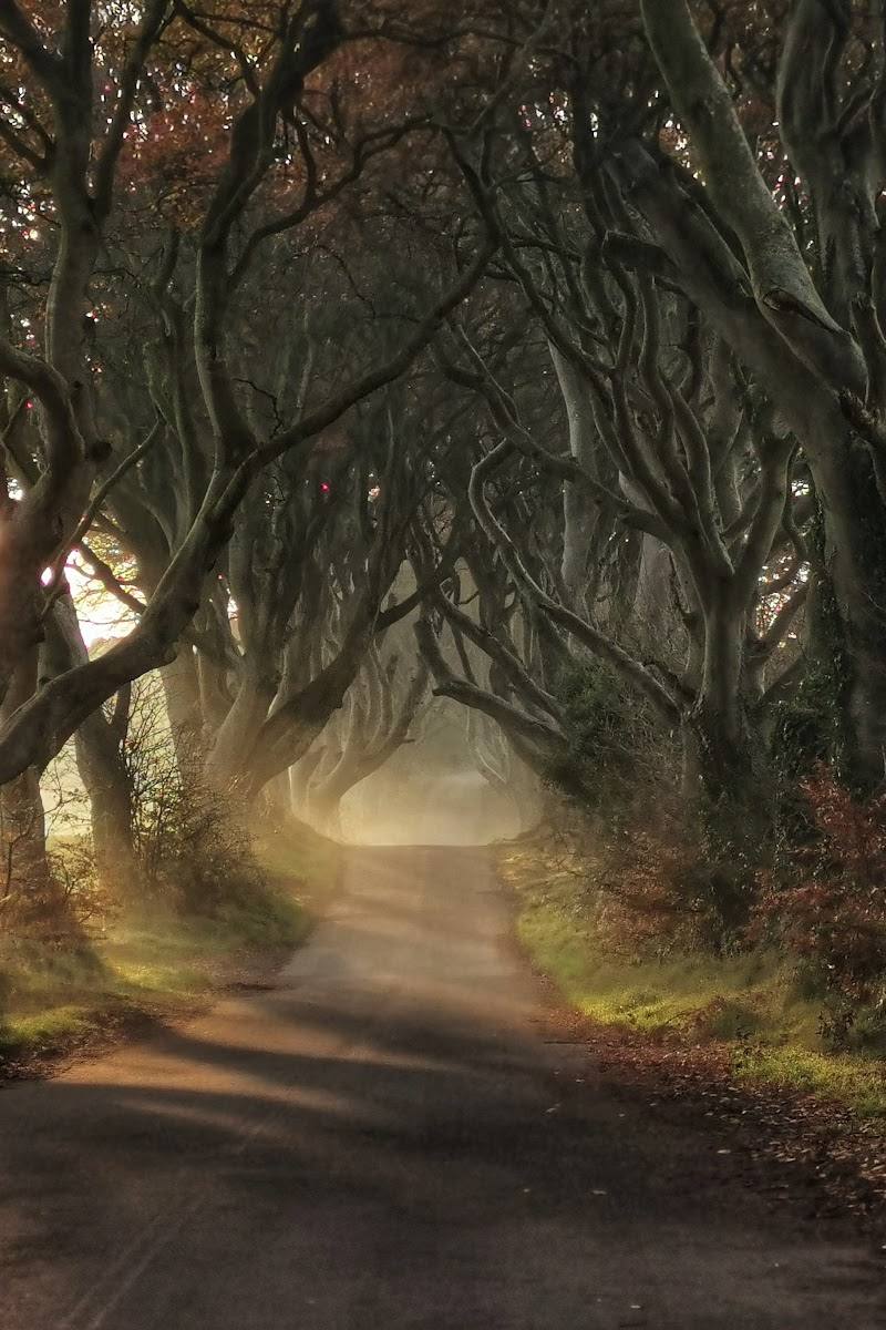
The Dark Hedges
Bregagh Road, near Stranocum, Ballymoney, County Antrim, BT53 8PX
16.7 km away
 Place photograph7.3
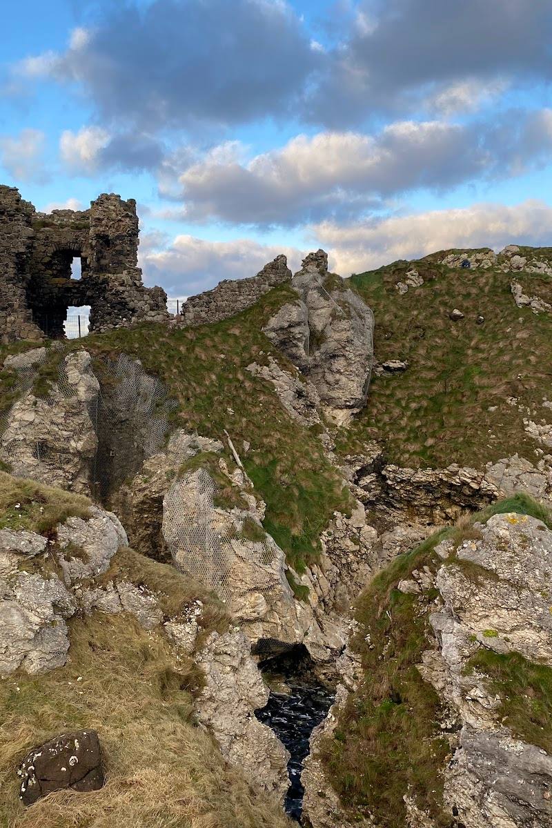
Kinbane Castle
81 Whitepark Road, Ballycastle, County Antrim, Northern Ireland, BT54 6LP
20.5 km away