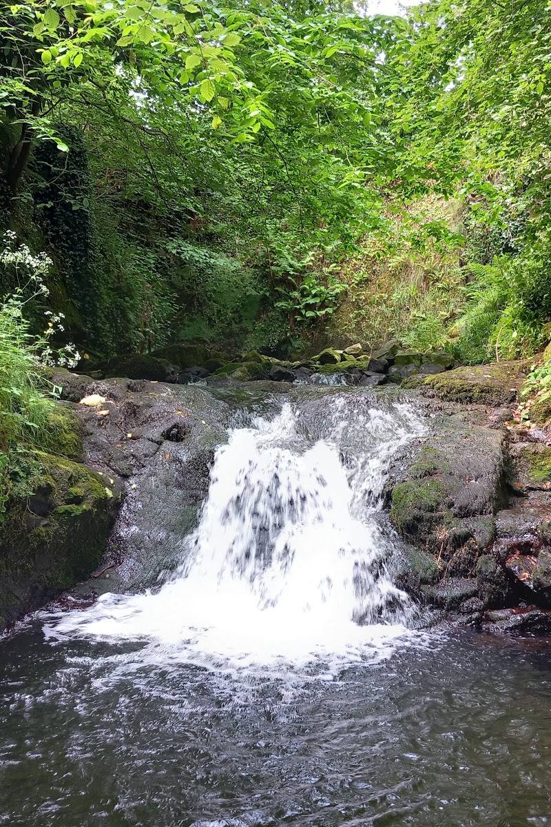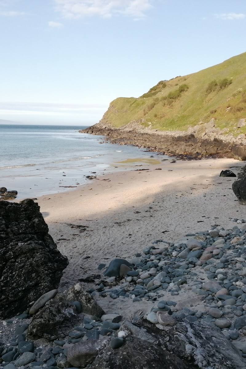
Murlough Bay, near Ballycastle, County Antrim, Northern Ireland
Murlough Bay
Coastal reserve
Place photograph
7.8
Wildland
1–2 hours
Time
Check
Cost
Secluded
Feel
Why it's Wildland
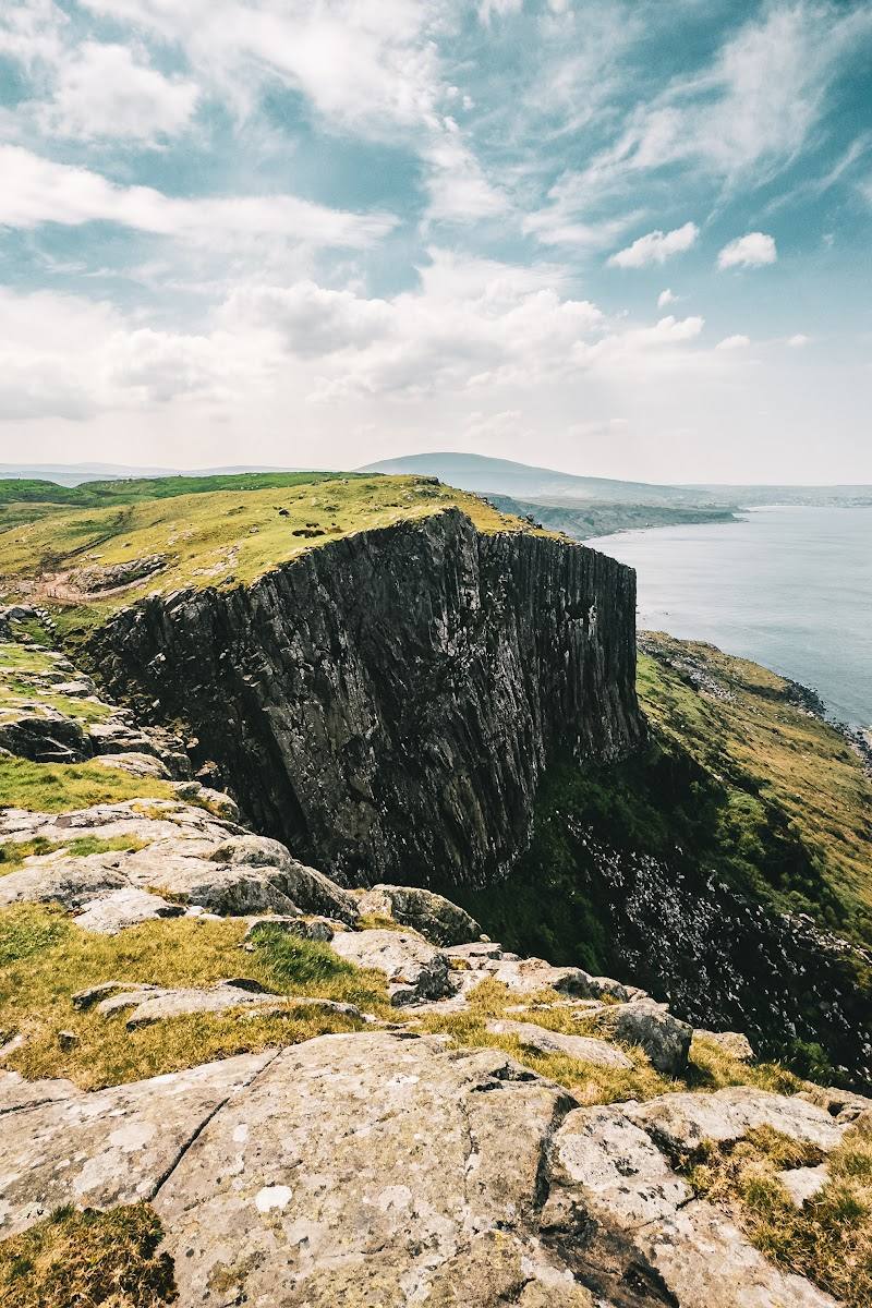
7.8A remote Antrim inlet beneath steep, layered cliffs, with views across the water to Rathlin Island and, on clear days, the Scottish islands. Lime-kiln remains and a memorial plinth add human traces to the rugged coastal setting.
Murlough Bay earns its place for the combination of a quiet, hard-to-reach shoreline, striking coastal geology and a short but steep walk to a wide-open view. It feels like a proper destination rather than a roadside lookout, though the narrow approach and exposed, uneven terrain call for planning.
Secluded · Dramatic · Wild · Remote
Find your way
Open mapMurlough Bay, near Ballycastle, County Antrim, Northern Ireland
Opening map…
Know this place a little better?
The experience
Walk from the car park to Knockbrack Viewpoint, descend to the shore if conditions and ability allow, then return by the same route. Allow 60–90 minutes for the described 4.4 km loop, including time at the bay. Expect a steep climb and uneven, potentially slick ground.
Things to do
Take in the bay from Knockbrack Viewpoint
Follow the route from the car park to the viewpoint, described as the first proper look down into the bay.
Part of a 60–90 minute loop
Walk down to the rocky shore
Descend the steep, rocky path to the shore if conditions and your ability allow; the return involves a sustained climb.
Part of a 60–90 minute loop
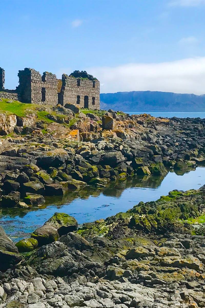
Look for the lime-kiln remains
The supplied source reports weathered lime kilns on the lower slopes, traces of a small local industry.
Find the Casement memorial plinth
A plain stone plinth near the cliff edge marks the location of a commemorative cross, according to the supplied source.
Make a day of it
Quick escape · 60–90 minutes
Quick Escape: viewpoint and bay
- 01
Start at the car park on Murlough Road.
- 02
Follow the lane to Knockbrack Viewpoint for the first view into the bay.
- 03
If conditions and ability allow, take the steep, rocky descent to the shore.
- 04
Return by the same route, allowing for the sustained climb back.
Half day · Half day
Make a half day of it: take your time on the coast
- 01
Allow time for the described 4.4 km loop and a pause at the viewpoint and shore.
- 02
Look for the lime-kiln remains on the lower slopes and the Casement memorial plinth near the cliff edge.
- 03
Bring food and water: the supplied source reports no cafés or shops for miles.
- 04
Check the narrow approach road and weather before setting out.
Verified history
The supplied source says the bay’s name comes from the Irish Murlach, meaning “sea inlet”. It reports that an 11th-century preface to the Amra Coluim Cille describes Saint Columba landing here around 595 AD, and that Sir Roger Casement asked to be buried on the shore. Casement was executed in 1916 and was ultimately buried at Glasnevin in Dublin. A plain stone plinth near the cliff edge marks where a commemorative cross once stood; the source also reports a small memorial service each August. Lime-kiln remains are described on the lower slopes.
Hidden details
Lime-kiln remains on the lower slopes — Weathered lime kilns are reported as remnants of a small industry that operated before the landscape returned to a wilder state.
The Casement memorial plinth — Look near the cliff edge for the plain plinth marking where a commemorative cross once stood.
When to go
· No specific time of day is established by the supplied sources. Clear, settled conditions are most useful for distant views.
The supplied sources do not identify a best season. The views depend on clear conditions; wet weather can make the uneven ground slippery.
The exposed coastal route can be uneven and slick when wet. Check the forecast and road conditions before travelling; sturdy footwear is advised by the supplied source.
The route
- surface
- Uneven and rocky; may be slick in wet weather
- distance
- 4.4 km loop
- duration
- 60–90 minutes
- difficulty
- Steep, with a rocky descent and sustained return climb; uneven ground may be slick when wet
- waymarking
- Check before visiting
- route shape
- Loop from the car park, including a return climb from the shore
- start point
- Car park on Murlough Road
- parking start
- A car park is identified as the route start; capacity and current availability are not confirmed. The approach road is narrow with few passing places.
- Knockbrack Viewpoint
- Rocky shore
- Lime-kiln remains on the lower slopes
- Casement memorial plinth near the cliff edge
What to look for
- 01
Look for the lime-kiln remains on the lower slopes and the memorial plinth near the cliff edge. From the viewpoint, look across the water towards Rathlin Island
- 02
distant Scottish islands are reported visible on clear days.
The story
Early medieval tradition; lime-kiln remains; Sir Roger Casement memorial
Best time to go
No specific best season is established by the supplied sources. Choose a clear, settled day for views; check weather and road conditions before setting out.
Choose a clear, settled day for views towards Rathlin Island and Scotland. The supplied sources do not establish a best season or time of day.
How long to spend
1–2 hours
Perfect for
Walkers · Photographers · History lovers
Before you go
Google rating
Practical information
Opening & access
A narrow single-track road leads to the bay; a 4.4 km walking loop from the car park is described by the supplied source. The road is reported to have few passing places. Check current access and road conditions before travelling.
Check before visiting
Parking
A car park is identified as the start of the described loop. Capacity and current availability are not confirmed; check before visiting.
Check before visiting
Toilets
Check before visiting
Check before visiting
Food & drink
The supplied source reports no shops or cafés for miles; bring food and water. Check before visiting for current facilities.
Check before visiting
Dogs
Check before visiting
Check before visiting
Accessibility
The described loop includes a steep, rocky descent and sustained climb, with uneven ground that may be slippery when wet. Not suitable for assuming step-free access.
Cost
Check before visiting
Check before visiting
Water
Sea
Gallery
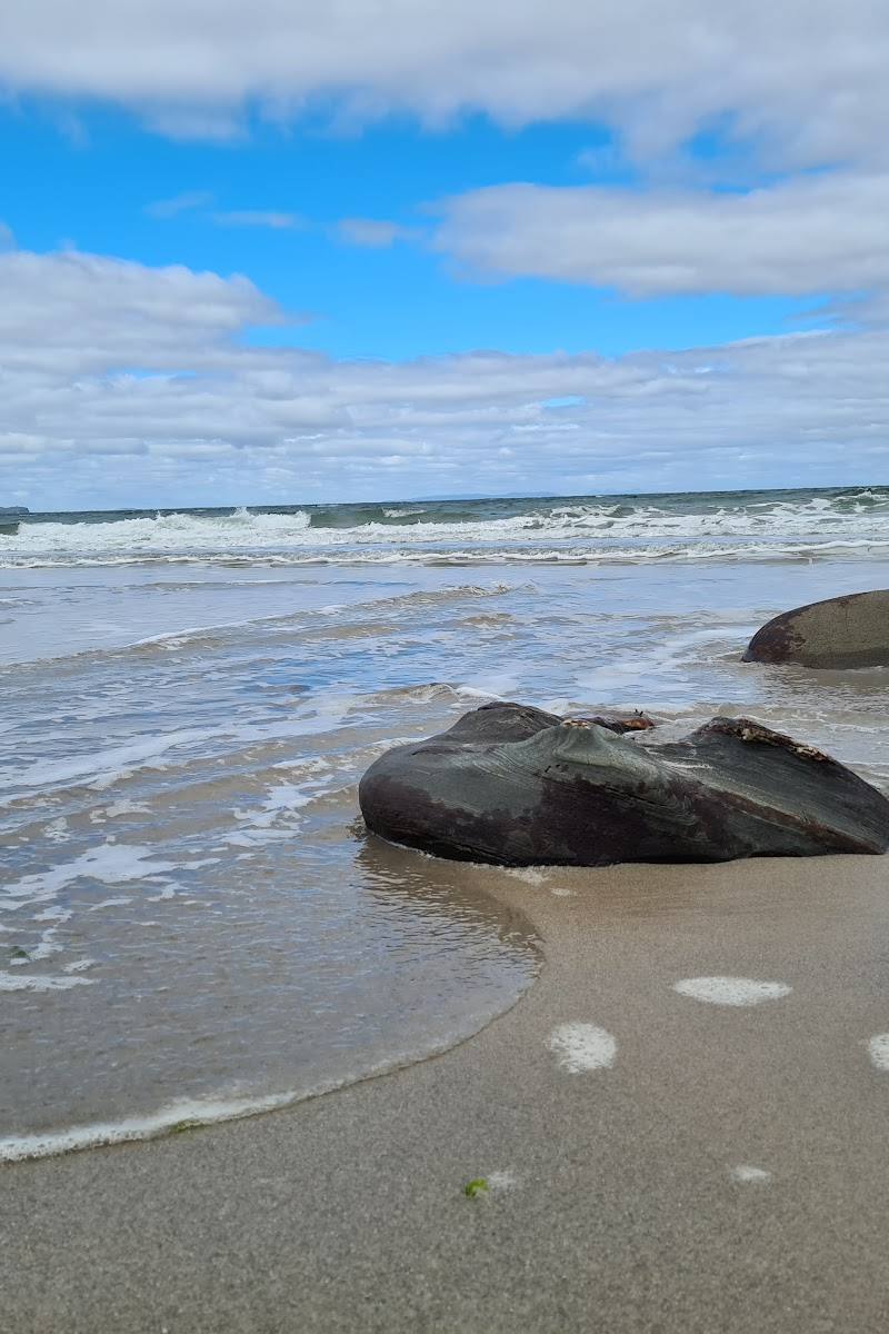
Place photographs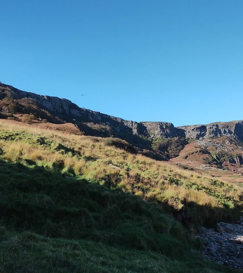
Keep exploring
Around Murlough Bay
Within 50 km · approximate straight-line distances