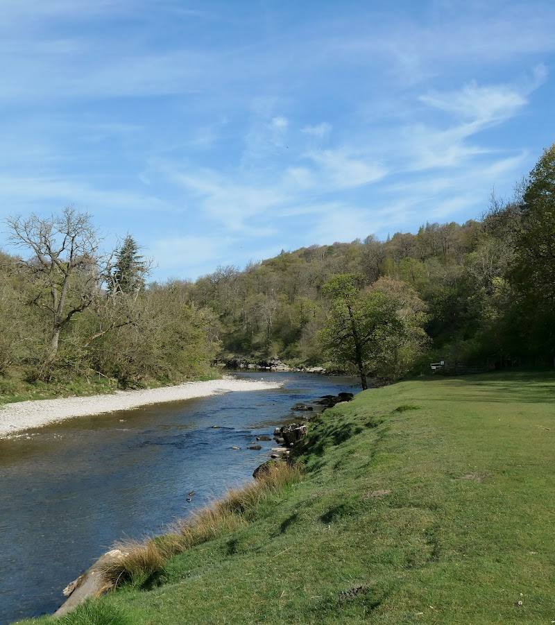
Malham Cove, near Malham, North Yorkshire
Top of Malham Cove
Escarpment
Place photograph
9.2
Wildland
1–2 hours
Time
Check
Cost
Dramatic
Feel
Why it's Wildland
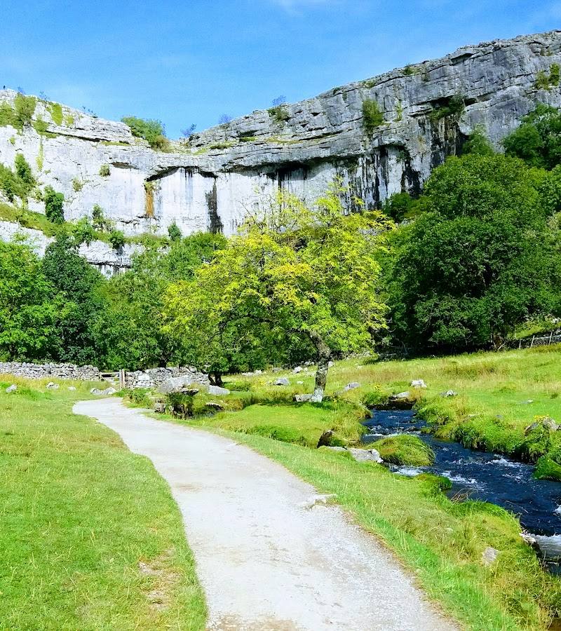
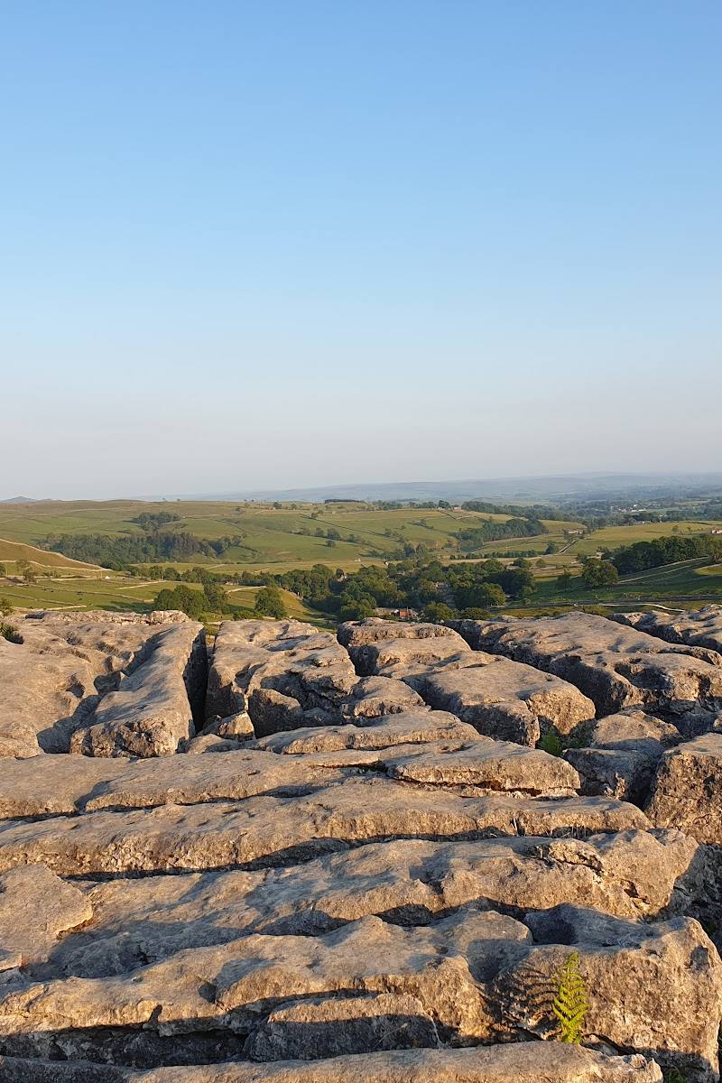
9.2At the top of Malham Cove, the view opens across the Dales from a high limestone rim. Underfoot, the exposed pavement is broken into pale blocks and deep fissures: a striking change from the sheer curved cliff below.
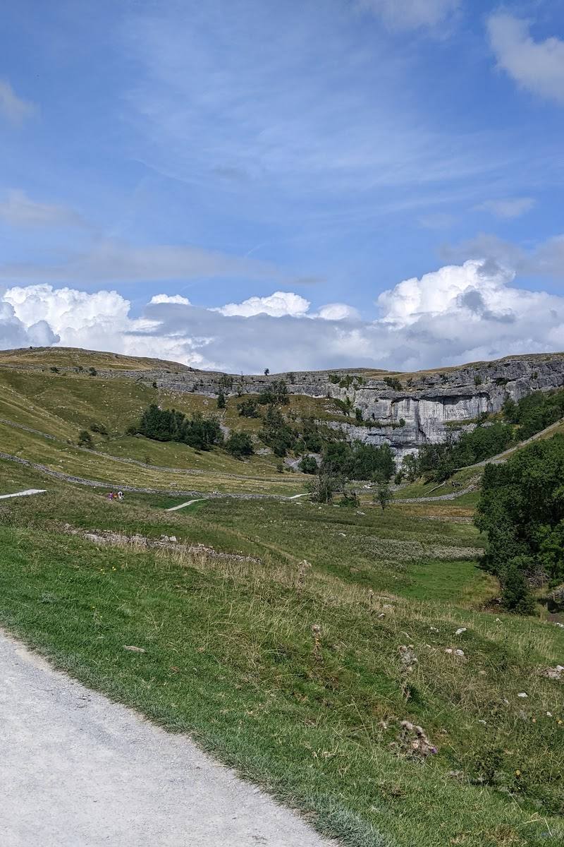
Few short walks deliver such a dramatic shift in perspective: climb from the valley to the limestone rim, then look back over a landscape carved by ice and water. The exposed, uneven pavement and steep steps make this a proper walking destination, not just a roadside viewpoint.
Dramatic · Big-sky · Wild
Find your way
Open mapMalham Cove, near Malham, North Yorkshire
Opening map…
Know this place a little better?
The experience
Climb from Malham to the top of the Cove for the limestone pavement and the views across the Dales. The steps are steep and the pavement is uneven, so allow time and take care underfoot. For a longer outing, combine the Cove with the paths to Janet’s Foss and Gordale Scar.
Things to do
Walk up to the cliff top
Climb the stone steps from the Cove to reach the rim; the ascent is steep, so take it steadily.
Check before visiting
Explore the limestone pavement
Look closely at the pale limestone blocks and their fissures, and keep to safe footing on the uneven surface.
Check before visiting
Watch the cliff for birds
Look for peregrines wheeling and diving by the cliff; house martins and jackdaws also use the Cove. Sightings are not guaranteed.
As time allows
Make a day of it
Quick escape · Allow 1–2 hours; exact duration depends on your pace and starting point.
Quick Escape: climb to the limestone rim
- 01
Start from Malham and follow the route towards the Cove.
- 02
Climb the stone steps to the top; take care on the steep ascent.
- 03
Explore the limestone pavement cautiously and pause for views across the Dales.
- 04
Return by your outward route.
Half day · Half day; route length varies with the chosen path.
Make a half day of it: Cove, Gordale Scar and Janet’s Foss
- 01
Begin in Malham and walk to the Cove.
- 02
Climb the steps to the top and cross the limestone pavement carefully.
- 03
Continue towards Gordale Scar, then visit Janet’s Foss on the return route.
- 04
Return to Malham; check current path and parking information before setting out.
Verified history
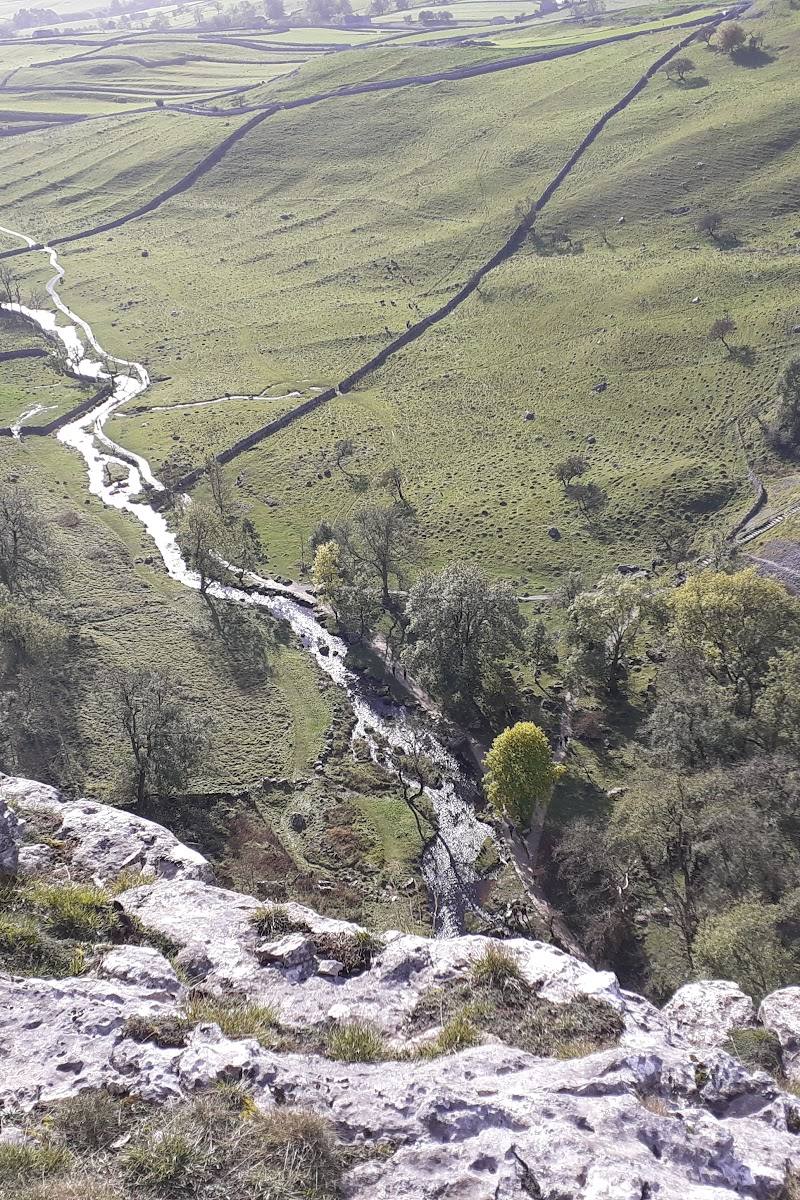
The Yorkshire Dales National Park Authority says Malham Cove formed along the Middle Craven Fault and was eroded by water and ice over millions of years. During successive glaciations, ice plucked rock from the cliff; when glaciers melted, powerful floods further shaped it. The authority says a massive waterfall once thundered over the Cove, when frozen ground forced meltwater across the surface. Today, water flows underground.
Hidden details
A waterfall once crossed the Cove — The National Park Authority describes a time when glacial meltwater could not drain underground through frozen ground, creating a massive waterfall over the Cove.
When to go
May · June · July · August · September · Early morning or later in the day for a quieter visit; allow for changing weather and reduced daylight outside summer.
The cliff is dramatic year-round, but longer days make it easier to plan a walk that includes the steep ascent and uneven limestone top. The National Park Authority says peregrines can be viewed during summer months.
The top is exposed and the limestone pavement is uneven. Check the forecast and current access information; use care on wet or slippery ground.
What to look for
- 01
Notice the contrast between the curved white cliff and the blocky, fissured limestone pavement above. Scan the cliff face and sky for peregrines
- 02
the National Park Authority also names house martins and jackdaws among the birds using the Cove.
The story
Glacial landscape and limestone geology
Best time to go
Spring to early autumn for longer daylight and easier planning; peregrines may be seen around the cliffs in summer. Check conditions before visiting, as the top is exposed and the limestone is uneven.
Go early or later in the day if you want a quieter walk; visitor accounts report that Malham can be busy. Summer also offers a chance to look for peregrines around the cliff, but sightings are not guaranteed.
How long to spend
1–2 hours
Perfect for
Walkers · Photographers · Wildlife lovers · History lovers
Before you go
Address
Google rating
Practical information
Opening & access
The top of the Cove is reached on foot from Malham. The Yorkshire Dales National Park describes the Cove as a 70-metre limestone cliff; visitor accounts describe climbing stone steps to the top. Check current path conditions and access information before setting out.
Check before visiting
Parking
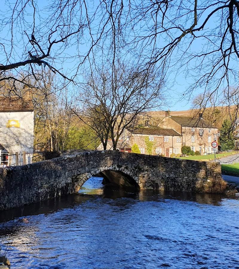
Visitor accounts mention parking in Malham village, including a National Trust car park. Charges and availability can change; check before visiting and avoid obstructing residents.
Check before visiting
Toilets
Check before visiting
Check before visiting
Food & drink
Check before visiting
Check before visiting
Dogs
Check current rules and local signage before visiting.
Check before visiting
Accessibility
The walk to the top involves steep stone steps and uneven limestone pavement; it is not suitable for all visitors. Check current access advice before visiting.
Check before visiting
Cost
Check before visiting
Check before visiting
Water
River
Gallery
Place photographs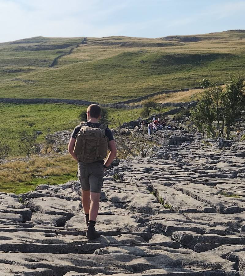
Keep exploring
Around Top of Malham Cove
Within 50 km · approximate straight-line distances