5.0
Wildland
1–2 hours
Time
Check
Cost
Peaceful
Feel
Why it's Wildland
5.0An urban common with medieval origins, broad open ground, acid grassland, large oaks and historic avenues. Its London County Council boundary markers offer a small, tangible clue to the history of the landscape.
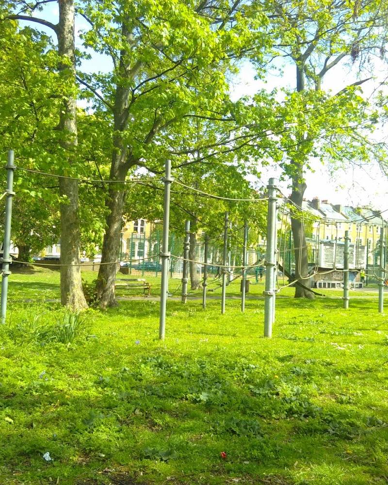
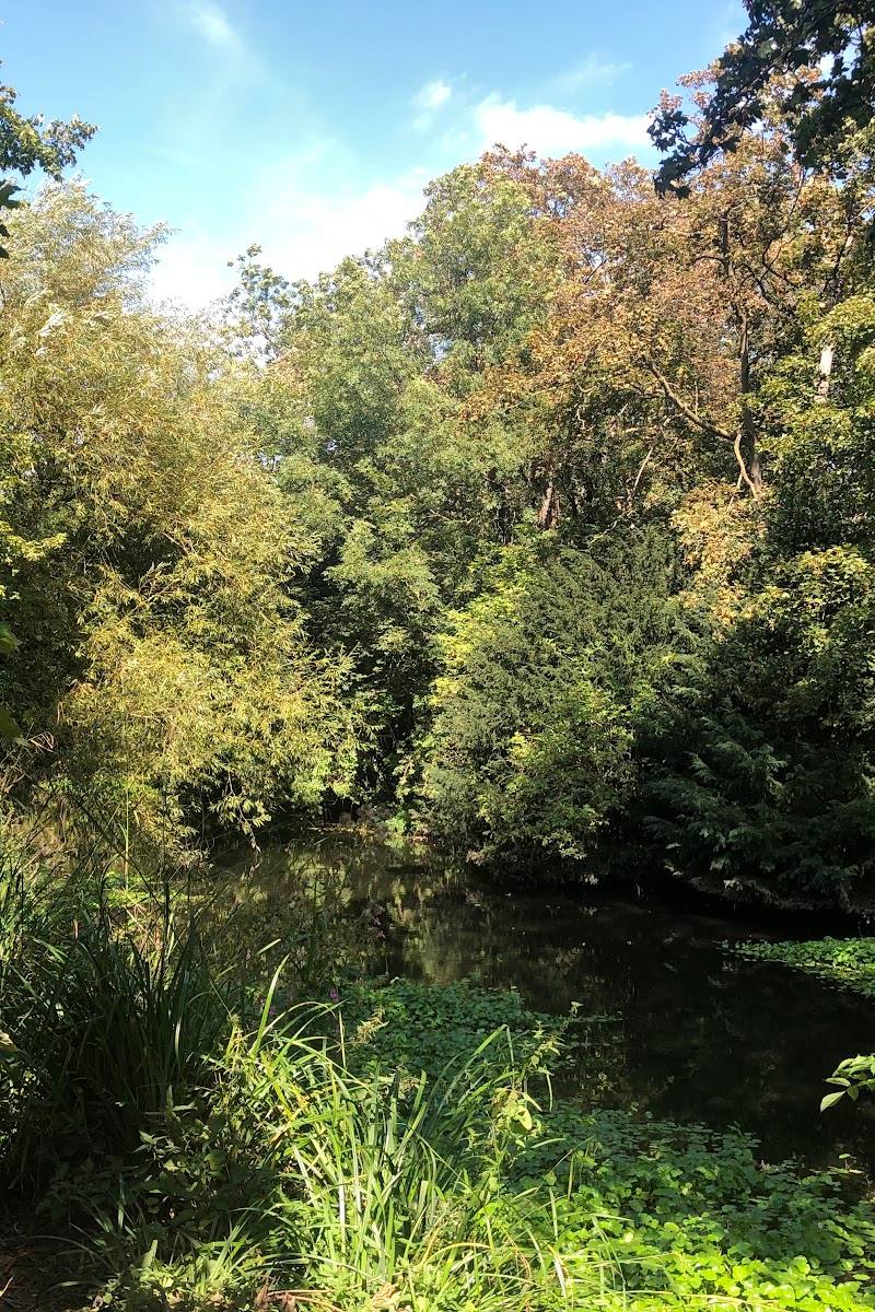
Tooting Common earns its place for more than its green space: Wandsworth identifies its acid grassland as a Site of Metropolitan Importance, and notes its large oaks, historic avenues and surviving boundary markers. It is a worthwhile local nature-and-history walk, rather than a remote or wilderness experience.
Peaceful
Find your way
Open mapTooting, south-west London
Opening map…
Know this place a little better?
The experience
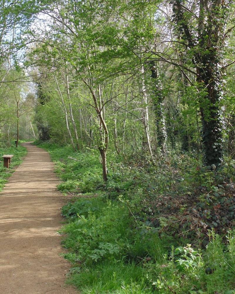
Explore the common on foot, looking out for its large oaks, historic avenues, acid grassland and London County Council boundary markers. Open access is listed at several named roads. Check current facilities, routes and dog-control information before setting out.
Things to do
Look for the boundary markers
Wandsworth Council specifically notes London County Council boundary markers on the common. See how many you can spot during your walk.
Walk beneath the large oaks
Explore the common’s open landscape and look out for the many large oak trees identified by the council.
Notice the acid grassland
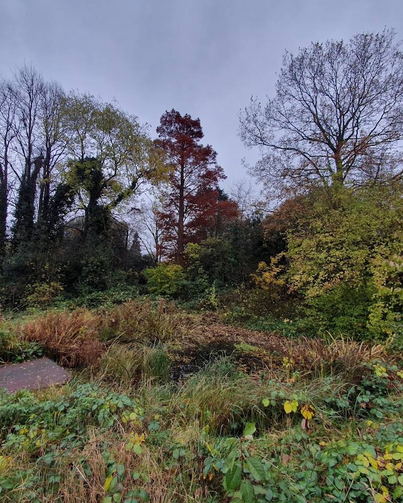
The common’s stretches of acid grassland are the reason Wandsworth identifies it as a Site of Metropolitan Importance. Observe the habitat without disturbing it.
Follow the historic avenues
Look for the avenues among the common’s open landscape; Wandsworth identifies them as a feature of the site.
Make a day of it
Quick escape · 1–2 hours
A short common-land wander
- 01
Enter from one of the access roads listed by Wandsworth Council.
- 02
Take a walk through the common, looking for its large oak trees and historic avenues.
- 03
Look out for London County Council boundary markers; return to your chosen entrance.
Verified history
Wandsworth Council describes south-west London’s open common land as dating back to medieval origins. For Tooting Common, it highlights historic avenues and London County Council boundary markers that visitors can look for on site. The supplied evidence does not establish specific dates or events for those markers.
Hidden details
London County Council boundary markers — These markers are an easy-to-miss physical detail singled out by Wandsworth Council. Look for them as you explore the common.
When to go
· No best time is established by the supplied sources.
The supplied sources identify no seasonal highlight. A local walking group describes enjoying the commons in every season.
Check the forecast and current ground conditions before visiting; surface and terrain details are not verified.
What to look for
Large oak trees, the historic avenues, stretches of acid grassland and London County Council boundary markers.
The story
Medieval origins; London County Council boundary markers
Best time to go
No specific peak season is established by the supplied sources; the common is described as usable throughout the year by a local walking group.
No preferred time of day is verified in the supplied sources. A local walking group meets on Saturdays at 10.30am outside Tooting Bec Common Café; confirm current arrangements before attending.
How long to spend
1–2 hours
Perfect for
Walkers · Wildlife lovers · History lovers
Before you go
Address
Phone
Website
Listed hours
- Monday: Open 24 hours
- Tuesday: Open 24 hours
- Wednesday: Open 24 hours
- Thursday: Open 24 hours
- Friday: Open 24 hours
- Saturday: Open 24 hours
- Sunday: Open 24 hours
Check before visiting.
Google rating
Practical information
Opening & access
Wandsworth Council lists open access from Tooting Bec Road, Garrard’s Road, Bedford Hill, Emanuel Road, Elmbourne Road, Dr Johnson’s Avenue, Church Lane, Furzedown Drive and West Drive.
Parking
Check before visiting
Check before visiting
Toilets
Check before visiting
Check before visiting
Food & drink
Check before visiting
Check before visiting
Dogs
Wandsworth provides a dog-control map; check current rules and signage before visiting.
Check before visiting
Accessibility
A wheelchair-accessible entrance is reported in the source row; route surfaces and access across the common are not verified. Check before visiting.
Check before visiting
Cost
Check before visiting
Check before visiting
Water
Check before visiting
Check before visiting
Gallery
Place photographs
Keep exploring
Around Tooting Common
Within 50 km · approximate straight-line distances