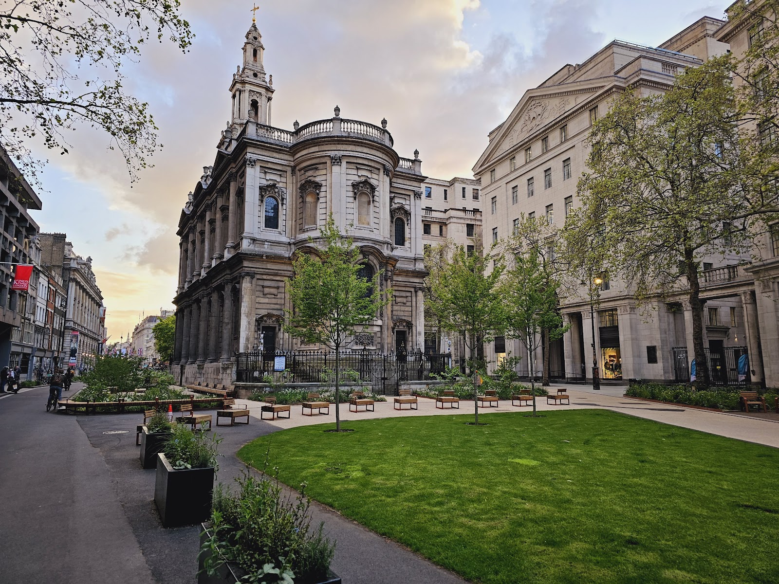
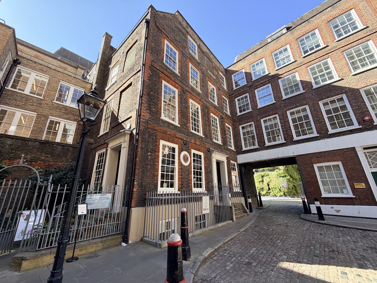
6.3
Wildland
Full day
Time
Check
Cost
Dramatic
Feel
Why it's Wildland
6.3Created as a lasting memorial to the Queen’s Silver Jubilee, the Jubilee Walkway grew into a 22 km trail linking London landmarks and interpreting the city through 50 panoramic panels.
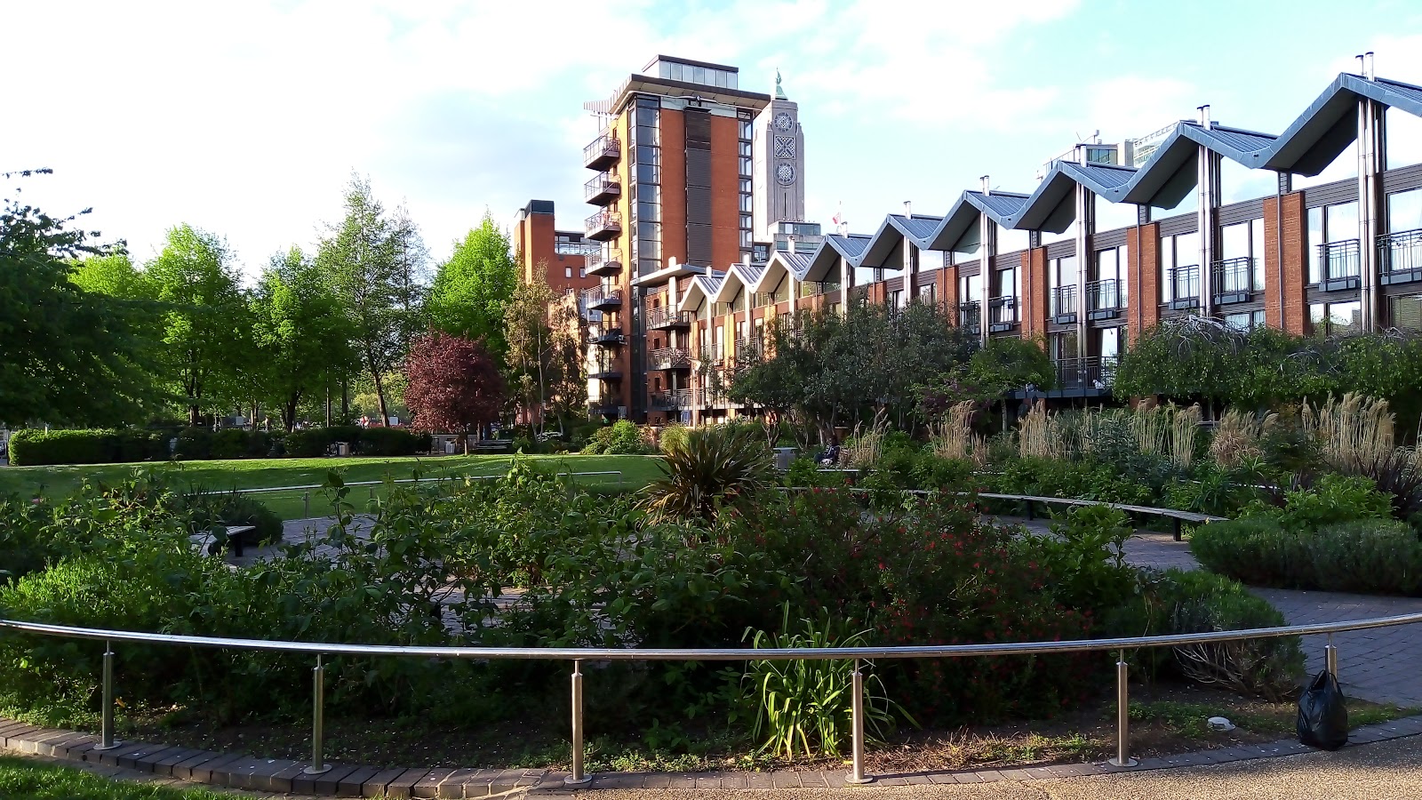
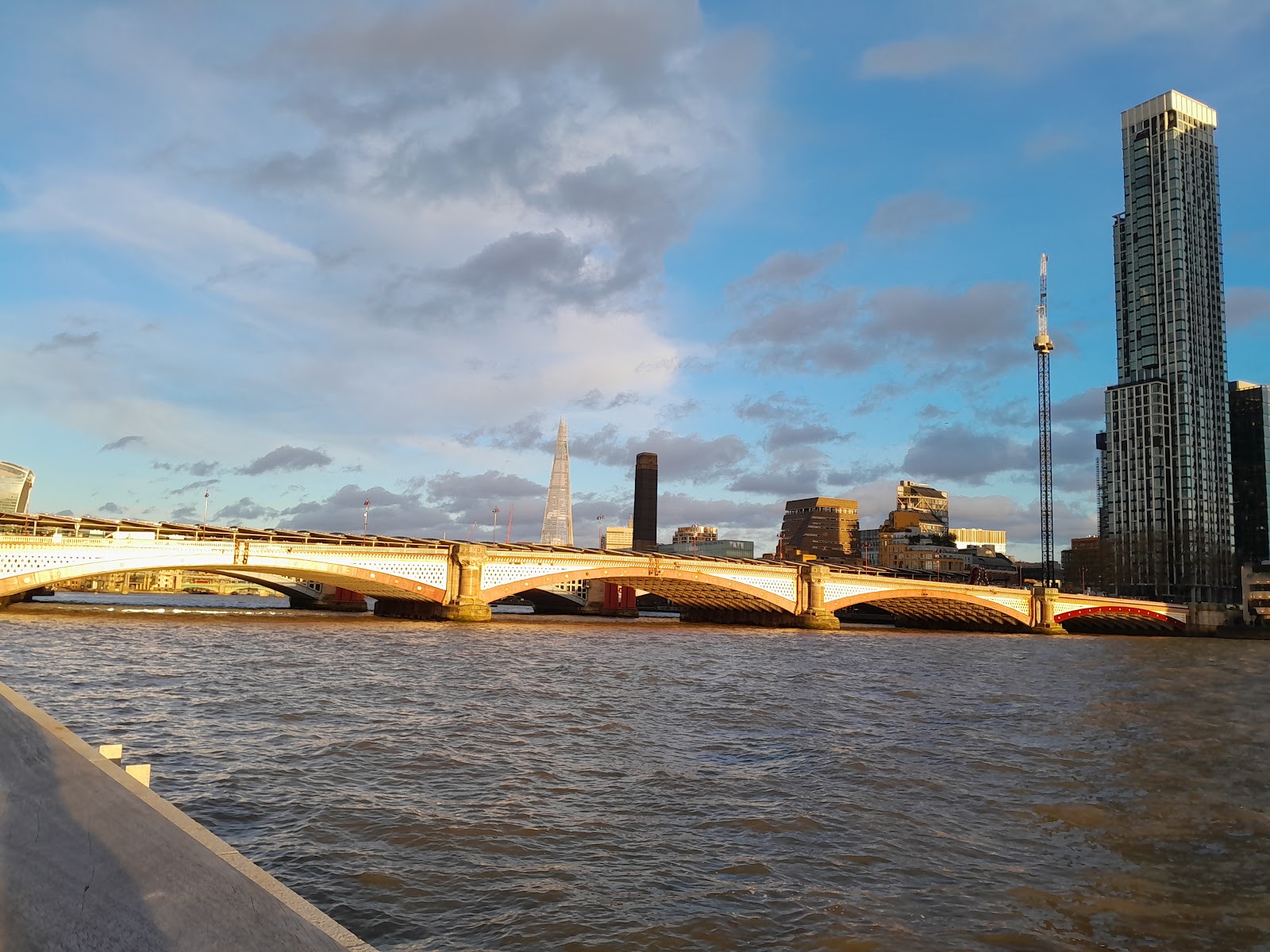
This is an urban journey rather than a wild landscape: its appeal is the way a long, step-free trail uses the Thames as a thread through London, pairing river views with landmarks and interpretation panels. Its heritage is well evidenced, though the source material says little about the route’s present-day practicalities.
Dramatic · Big-sky
Find your way
Open mapLondon, SE1 9PP
Opening map…
Know this place a little better?
The experience
A long urban walk built around London landmarks, the Thames and interpretation panels. The official source gives the overall distance and describes the route as step-free; it does not provide enough detail to confidently prescribe a particular short section or a full-day itinerary.
Things to do
Walk the Jubilee route
Follow the official 22 km Jubilee Walkway, described as a step-free trail connecting London landmarks and city districts.
Full route: 22 km; elapsed time not stated in the official source
Pause at the interpretation panels
Look out for the route’s 50 panoramic panels, which interpret London’s skyline and points of interest.
Take in the South Bank lion plaque
The official history records the Queen unveiling a plaque on the South Bank lion on Westminster Bridge on 9 June 1977.
Make a day of it
Quick escape · About 2 hours
A short South Bank sampler
- 01
Use the supplied self-guided route account’s Westminster start and follow its described section towards the London Eye and Southbank arts area.
- 02
Treat this as a sampler of the wider Queen’s Walk, not a verified complete route or a guarantee of current conditions.
Verified history
Environmentalist Max Nicholson proposed the Jubilee Walkway in March 1976 as an urban trail and lasting memorial to the 1977 Silver Jubilee. The Queen unveiled a plaque on the South Bank lion on Westminster Bridge on 9 June 1977, while the walk was still incomplete. The official account says development along the Thames helped make sections walkable; in 1994 the completed route was unveiled by the Queen as The Queen’s Walk. The trail was later extended up the Mall in 2003 and is described by its official site as 22 km long, step-free and marked by 50 panoramic interpretation panels.
Hidden details
The South Bank lion plaque — The official route history identifies a plaque on the South Bank lion at Westminster Bridge, unveiled by the Queen on 9 June 1977.
Fifty skyline panels — The official account says 50 panels along the route interpret London’s skyline and points of interest; the supplied material does not identify individual panel locations.
When to go
· No preferred time of day is established by the supplied sources.
The supplied sources provide no seasonal guidance.
Check the forecast and current route conditions before setting out; weather-specific advice is not provided by the supplied sources.
The route
- ascent
- Not stated
- stiles
- Check before visiting
- surface
- Not stated
- distance
- 22 km (13 miles), according to the official route page
- duration
- Not stated by the official route page. A separate self-guided account estimates 2 hours for its described Westminster-to-South Bank section.
- difficulty
- Not stated
- waymarking
- The official source describes 50 interpretation panels; it does not specify waymarking details.
- route shape
- The official account describes a route with loops and a link between the Tower of London and Leicester Square; confirm the current map for the intended section.
- start point
- The official history identifies Leicester Square as the original starting point. A separate self-guided route starts at Westminster Underground station; these may describe different route versions.
- parking start
- Check before visiting
- shorter alternative
- A separate self-guided account describes an approximately two-hour Westminster-to-South Bank section; verify its route and current conditions before relying on it.
- The official source describes a 22 km step-free city trail.
- Fifty panoramic panels interpret London’s skyline and points of interest.
- The route was created as a Silver Jubilee legacy and later unveiled as The Queen’s Walk.
What to look for
Look for the route’s 50 panoramic interpretation panels, designed to explain London’s skyline and points of interest. The official account also records the South Bank lion plaque unveiled by the Queen in 1977.
The story
Royalty, Urban history
Best time to go
No specific best season is established by the supplied sources.
The supplied sources do not identify a preferred time of day.
How long to spend
Full day
Perfect for
Walkers · Photographers · History lovers
Route at a glance
Duration
Full day
Terrain
Riverside, Urban historic
Parking / start
Check before visiting
Before you go
Address
Website
Listed hours
- Monday: Open 24 hours
- Tuesday: Open 24 hours
- Wednesday: Open 24 hours
- Thursday: Open 24 hours
- Friday: Open 24 hours
- Saturday: Open 24 hours
- Sunday: Open 24 hours
Check before visiting.
Google rating
Practical information
Opening & access
The supplied official route page describes the Jubilee Walkway, unveiled as The Queen’s Walk, as a 22 km step-free city trail. Check current route information before setting out.
Check before visiting
Parking
Check before visiting
Check before visiting
Toilets
Check before visiting
Check before visiting
Food & drink
Check before visiting
Check before visiting
Dogs
Check before visiting
Check before visiting
Accessibility
The official route page describes the 22 km walk as step-free. Confirm current route conditions and any temporary diversions before setting out.
Cost
Check before visiting
Check before visiting
Water
River
Gallery
Place photographs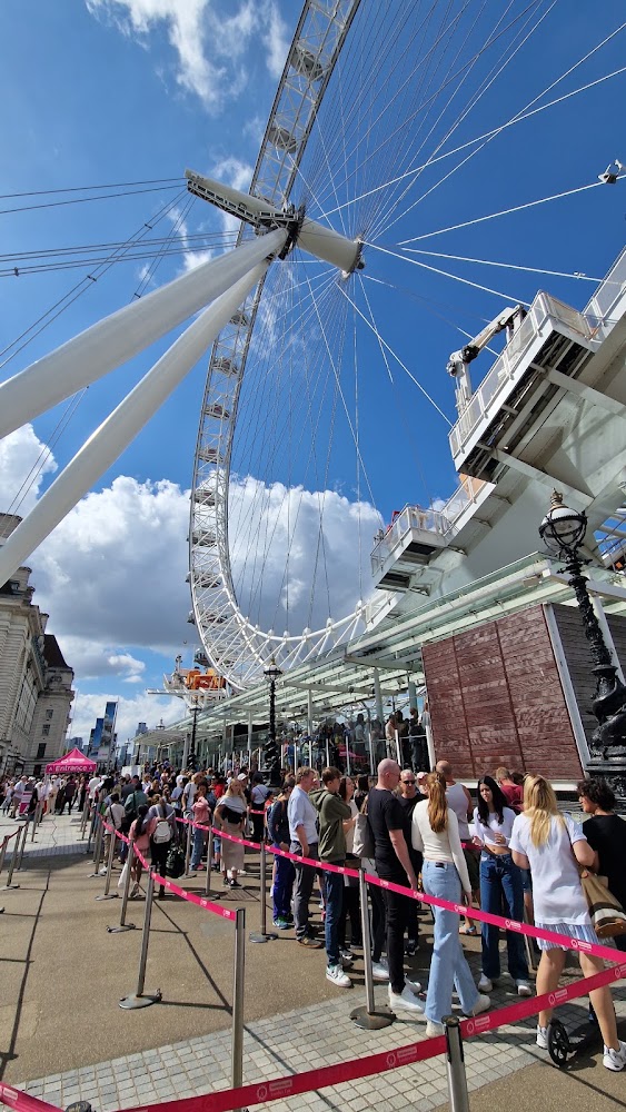
Keep exploring
Around The Queen’s Walk
Within 50 km · approximate straight-line distances