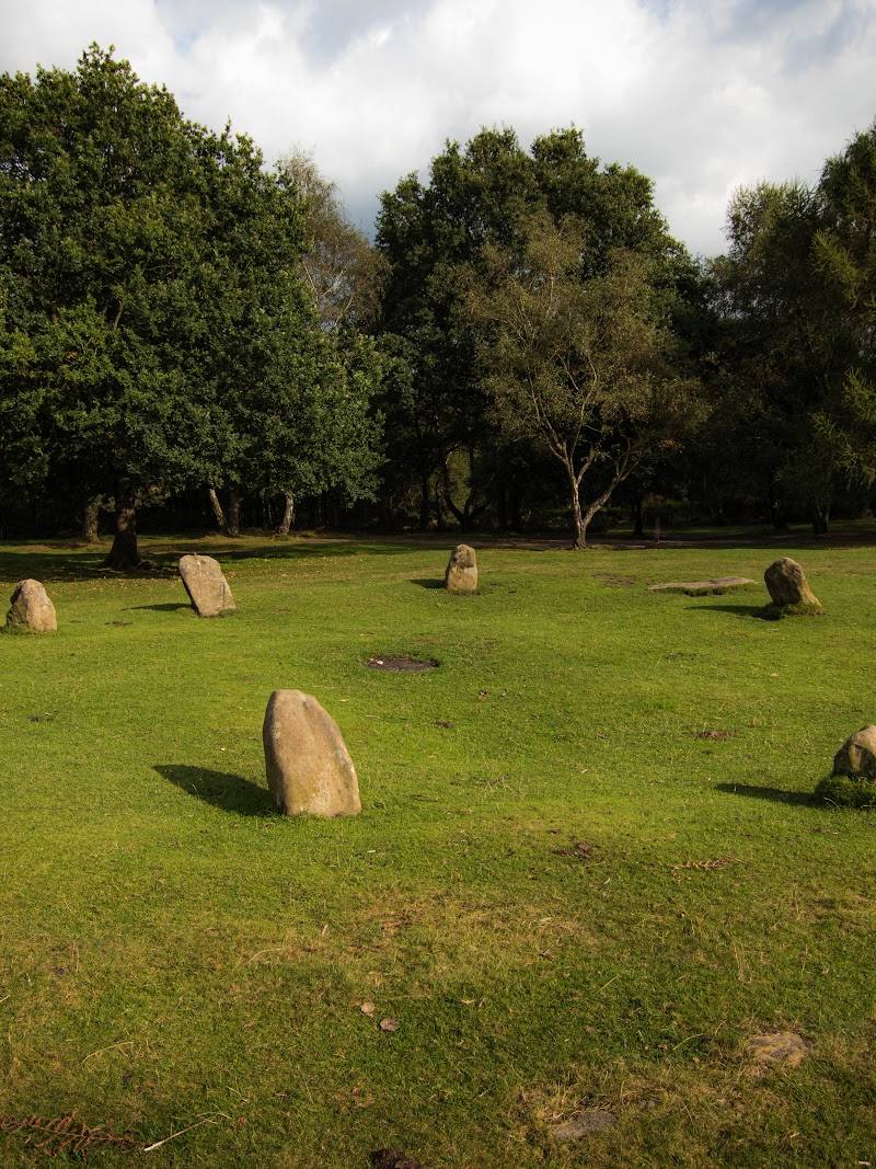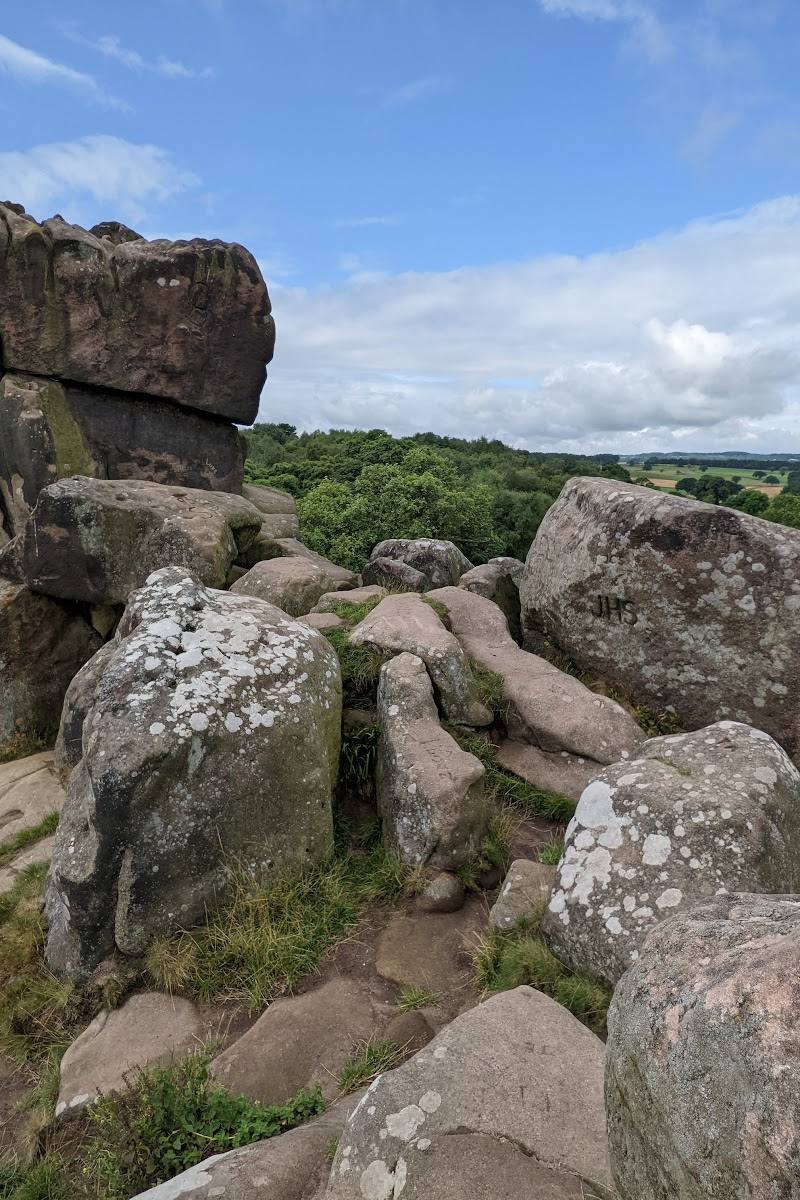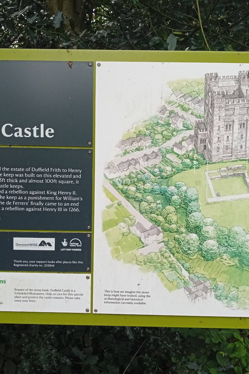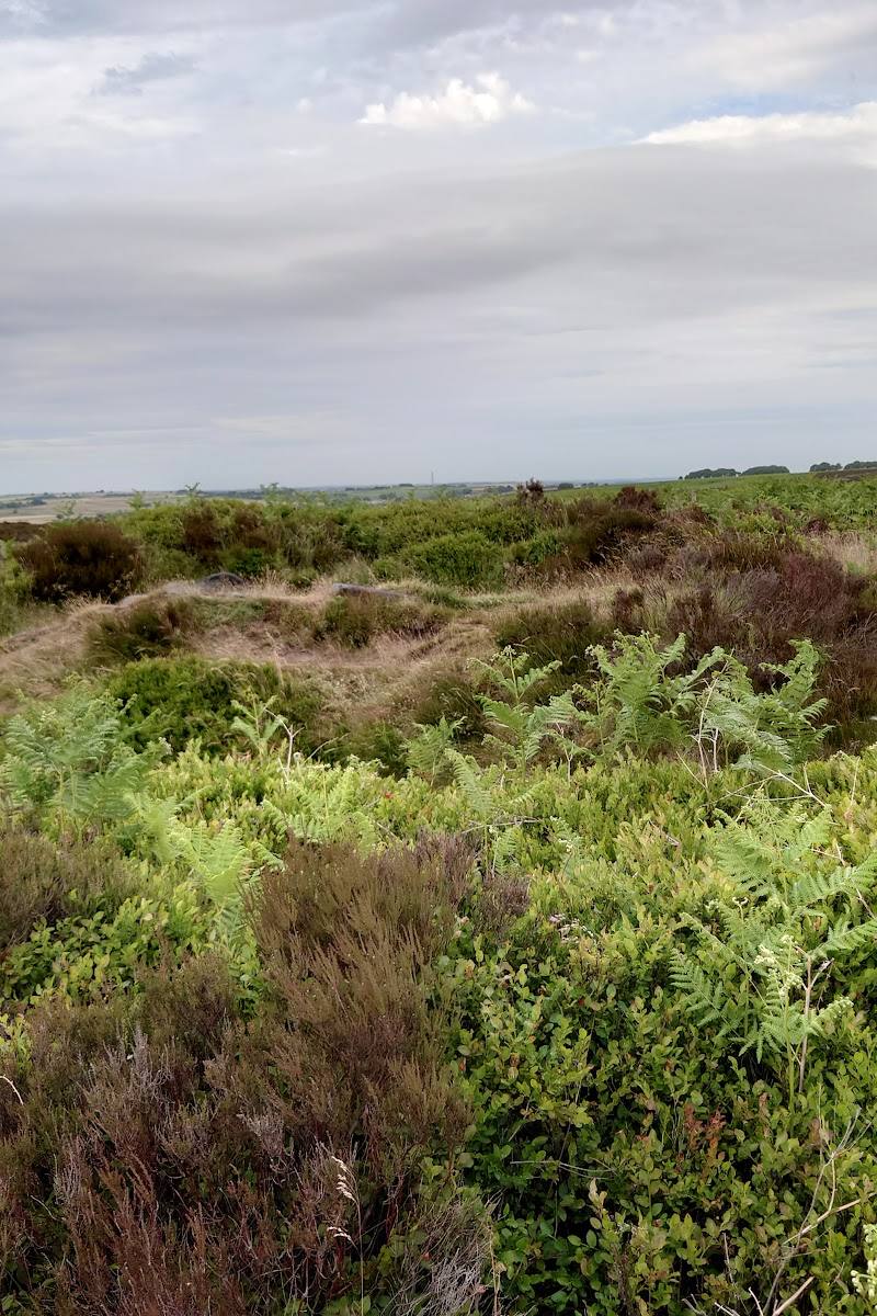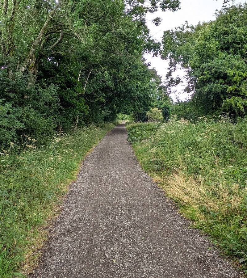
A 205-mile (330 km) National Trail from Middleton Top, Derbyshire, to Ravenstonedale, Cumbria. The supplied map pin is near the trail’s stated start at Middleton Top
Pennine Bridleway National Trail
route · Long-distance trail
Source image
7.2
Wildland
Multi-day
Time
Check
Cost
Wild
Feel
Why it's Wildland
7.2A long journey through the Pennines on a mix of ancient packhorse routes, drovers’ roads and newer bridleways. The trail links landscapes and tracks shaped by centuries of travel, from its Derbyshire start to Ravenstonedale in Cumbria.
This is a substantial way to experience the Pennines through its old highways and varied upland tracks. Its appeal lies in the journey itself: a waymarked, challenging linear route that can be tackled in sections or through its two major loops.
Wild · Big-sky · Atmospheric
Find your way
Open mapA 205-mile (330 km) National Trail from Middleton Top, Derbyshire, to Ravenstonedale, Cumbria. The supplied map pin is near the trail’s stated start at Middleton Top
Opening map…
Know this place a little better?
The experience
The Pennine Bridleway is a 205-mile linear National Trail from Middleton Top to Ravenstonedale, designed especially for horse riders and also used by mountain bikers and walkers. Its mix of historic tracks, newer bridleways and changing Pennine landscapes makes it a route to explore in sections or over a longer journey. Get the official route description and map before choosing a start point.
Things to do
Walk or ride the Settle Loop
Explore the 10-mile loop in the Yorkshire Dales, described by the National Trails source as a day’s walk or ride. Route details and the starting point should be checked on the official map.
A day
Take on the Mary Towneley Loop
Follow the 47-mile South Pennines loop, identified as a weekend walk or ride by the National Trails source. Check official route information before planning.
Weekend
Trace the trail’s historic tracks
On a chosen section, notice the contrasts between old packhorse routes and drovers’ roads and the newer bridleway sections built for the trail.
Make a day of it
Quick escape · A day
Try the Settle Loop
- 01
Choose the 10-mile Settle Loop in the Yorkshire Dales as a substantial sample of the trail.
- 02
Check the official route description and map before setting out; the supplied listing pin is not the loop’s start point.
Half day · Weekend
Make a weekend of the Mary Towneley Loop
- 01
Plan the 47-mile Mary Towneley Loop in the South Pennines as a longer walking or riding experience.
- 02
Use the official route descriptions and map to plan the route and logistics; confirm current conditions and services before travelling.
Verified history
The route incorporates ancient highways, including packhorse trails and drovers’ roads that the National Trails source says have been used for centuries. The full trail opened in stages; its final section and full length were officially opened in June 2012.
Hidden details
Different tracks, different histories — The trail’s surfaces include worn causey flags, stone setts and grassed stone tracks. Some sections follow old packhorse trails or drovers’ roads; others were made specifically for the National Trail.
When to go
April · May · June · July · August · September · October · Check conditions and daylight for the specific section; no trail-wide best time of day is established by the supplied sources.
The National Trails and Yorkshire Dales sources identify April to October as the most favourable period for the trail. Conditions remain changeable in the hills.
Expect hills and changeable Pennine weather. Check the forecast and current route information before setting out.
The route
- surface
- Minor roads, aggregate tracks, grassed stone tracks, stone setts and worn causey flags.
- distance
- 205 miles (330 km)
- duration
- Multi-day for the full route; exact duration depends on pace and itinerary.
- difficulty
- Challenging; the official source says the route is hilly and by no means easy.
- waymarking
- Described as very well waymarked; a map or guidebook is still recommended.
- route shape
- Linear, with two large loop sections: the 47-mile Mary Towneley Loop and the 10-mile Settle Loop.
- start point
- Middleton Top, Derbyshire
- parking start
- Check before visiting. The supplied map pin is not confirmed as parking or an entrance.
- shorter alternative
- The 10-mile Settle Loop is described as a day’s walk or ride. The official trail information also describes circular and linear walks along the route.
- Historic packhorse routes and drovers’ roads
- The Mary Towneley Loop in the South Pennines
- The Settle Loop in the Yorkshire Dales
- Varied Pennine countryside and changing track surfaces
What to look for
Notice how the route changes underfoot: minor roads, aggregate and grassed stone tracks, stone setts and worn causey flags. Look out for stretches following old packhorse routes and drovers’ roads, alongside newer bridleway sections.
The story
Historic transport routes: packhorse trails, drovers’ roads and ancient highways.
Best time to go
April–October, when the National Trails source says conditions are generally most favourable. Pennine weather can change; check forecasts and current route information.
April to October is identified by the National Trails and Yorkshire Dales sources as the most favourable period. Expect hills and changeable weather; check conditions before choosing a section.
How long to spend
Multi-day
Perfect for
Walkers · Cyclists
Route at a glance
Duration
Multi-day
Terrain
Hills, Valley
Parking / start
Check before visiting. The supplied map pin is not a verified parking location.
Before you go
Address
Website
Practical information
Opening & access
The National Trail is described as a route for horse riders, mountain bikers and walkers. Check the official trail map and current route information before setting out; the supplied pin is not confirmed as a trail entrance.
Check before visiting
Parking
Check before visiting. The supplied map pin is not a verified parking location.
Check before visiting
Toilets
Check before visiting.
Check before visiting
Food & drink
Check before visiting. Use the official trail map to explore services along the route.
Check before visiting
Dogs
Check before visiting.
Check before visiting
Accessibility
A long-distance route over hills with varied surfaces, including minor roads, aggregate tracks, grassed stone tracks, stone setts and worn causey flags. The source advises expecting hills and changeable weather. Check route descriptions and suitability for your chosen section before setting out.
Check before visiting
Cost
Check before visiting
Check before visiting
Gallery
Place photographsKeep exploring
Around Pennine Bridleway National Trail
Within 50 km · approximate straight-line distances