Cromford, between Cromford and Wirksworth, Derbyshire DE4 4GT
Black Rocks
Viewpoint
Place photograph
7.2
Wildland
1–2 hours
Time
Paid
Cost
Dramatic
Feel
Why it's Wildland
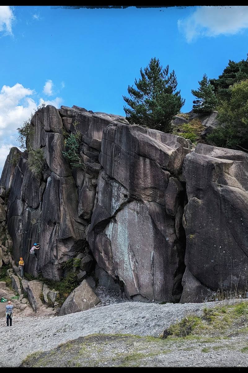
7.2Weathered Ashover gritstone rises above the Derwent Valley on a hillside shaped by lead mining. The spoil slopes support lead-tolerant plants, while the surrounding landscape meets at a boundary between limestone and gritstone.
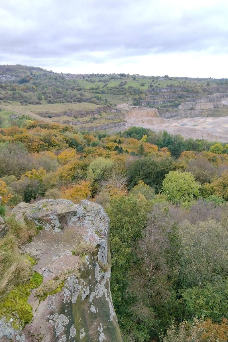
Black Rocks earns its place for the contrast between a dramatic gritstone outcrop, far-reaching valley views and a physical record of lead-mining. The approach is short but steep; the nearby waymarked Wirksworth circuit offers a longer, sourced option for making more of the visit.
Dramatic · Big-sky
Find your way
Open mapCromford, between Cromford and Wirksworth, Derbyshire DE4 4GT
Opening map…
Know this place a little better?
The experience
For a brief visit, climb from the car park to the gritstone outcrop and take in the valley view. For a longer outing, follow the documented five-mile Wirksworth circuit, allowing two to three hours. Paths on the circuit may be rough and muddy.
Things to do
Climb to the gritstone outcrop
Take the short but steep climb from the car park to the weathered Ashover gritstone and its views over the Derwent Valley.
About 1–2 hours for a simple visit; exact walking time is not specified.
Walk the Black Rocks–Wirksworth circuit
Follow the five-mile route from Black Rocks to Wirksworth and back. Derbyshire County Council gives an allowance of two to three hours and says the route is waymarked with Circuit Walks around Wirksworth discs.
2–3 hours
Look for lead-tolerant plants on the scree
The mine spoil on the slopes leading up to Black Rocks supports lead-tolerant plants, including leadworts, according to Derbyshire County Council.
Make a day of it
Quick escape · Allow about 1–2 hours; the approach is described as short but steep.
Quick Escape: Climb to the rocks
- 01
Start at the Black Rocks car park.
- 02
Climb the short, steep approach to the gritstone outcrop.
- 03
Pause for the views over the Derwent Valley, then return the way you came.
Half day · 2–3 hours
Make a Half Day of It: Black Rocks and the Wirksworth circuit
- 01
Begin at Black Rocks and take the short, steep climb to the outcrop.
- 02
Continue on the five-mile Black Rocks–Wirksworth–Black Rocks circuit described by Derbyshire County Council.
- 03
Expect rough or muddy paths at times and follow the waymarked Circuit Walks around Wirksworth discs.
- 04
Finish in Wirksworth, where the council leaflet notes cafés, coffee shops and pubs; check opening details separately.
Verified history
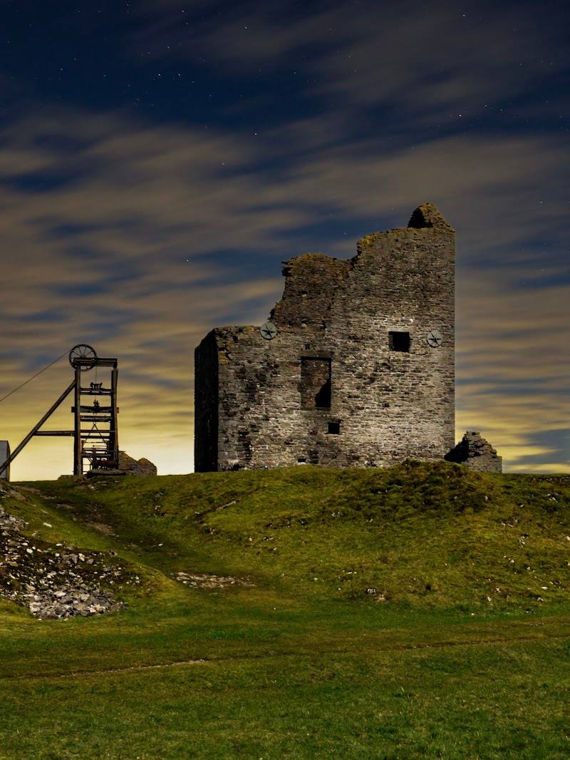
Black Rocks and the surrounding Cromford Moor landscape have a lead-mining history. Derbyshire County Council identifies the scree below the outcrop as mine spoil. A supplied video description identifies Cromford Moor Mine, also called Venture Mine, and discusses workings said to date from the 1600s; that more specific chronology is not independently confirmed by the council source supplied here.
Folklore & legend
A supplied video describes local folklore connected with the Devil and “leaping lovers” at Black Rocks. Treat these as local legend, not verified history; the supplied material does not establish the stories' origins or details.
Hidden details
Leadwort on the mine spoil — Look for lead-tolerant plants, including leadworts, on the scree slopes formed by mining spoil. The source identifies the habitat but does not establish the best season or guarantee sightings.
A meeting of two rock landscapes — The council leaflet notes that Black Rocks lies near the boundary between limestone and gritstone, with moorland and several woodland types across Cromford Moor.
When to go
· Not established by the supplied sources.
The supplied sources do not identify a best season or specific seasonal wildlife spectacle.
Paths on the Wirksworth circuit may be rough and muddy. Wear appropriate footwear and check conditions before setting out.
Worth pairing with
Wirksworth
A worthwhile extension on the documented circuit: Derbyshire County Council describes Wirksworth as a place with back streets to explore and cafés, coffee shops and pubs. Check current opening details before relying on facilities.
What to look for
Notice the weathered Ashover gritstone and the scree slopes below the rocks. Derbyshire County Council notes that these mine-spoil slopes support lead-tolerant plants, including leadworts. Look across the surrounding landscape for the transition between limestone and gritstone.
The story
Lead mining and the industrial landscape of Cromford Moor.
Best time to go
Check local conditions before visiting; no specific peak season is established by the supplied sources.
No best time of day is established by the supplied sources. Check local conditions before setting out.
How long to spend
1–2 hours
Perfect for
Walkers · Photographers · History lovers
Before you go
Address
Listed hours
- Monday: Open 24 hours
- Tuesday: Open 24 hours
- Wednesday: Open 24 hours
- Thursday: Open 24 hours
- Friday: Open 24 hours
- Saturday: Open 24 hours
- Sunday: Open 24 hours
Check before visiting.
Google rating
Practical information
Opening & access
A short but steep climb from the car park reaches the gritstone outcrop. Derbyshire County Council describes the site as having pay-and-display parking; check current charges and conditions before travelling.
Check before visiting
Parking
Derbyshire County Council describes ample pay-and-display parking on site. Check current charges and availability before visiting.
Check before visiting
Toilets
Derbyshire County Council's leaflet lists toilet facilities on site; check current availability before visiting.
Check before visiting
Food & drink
A seasonal café is listed in Derbyshire County Council's leaflet; check whether it is open before visiting.
Check before visiting
Dogs
Check before visiting; follow local signs and keep dogs under effective control.
Check before visiting
Accessibility
The source row reports a wheelchair-accessible car park. The climb to the rocks is described as short but steep; access to the viewpoint itself is not established by the supplied sources.
Cost
Paid
Gallery
Place photographs
Keep exploring
Around Black Rocks
Within 50 km · approximate straight-line distances
 Place photograph6.9
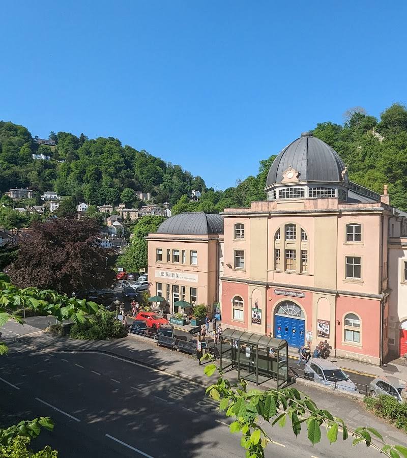
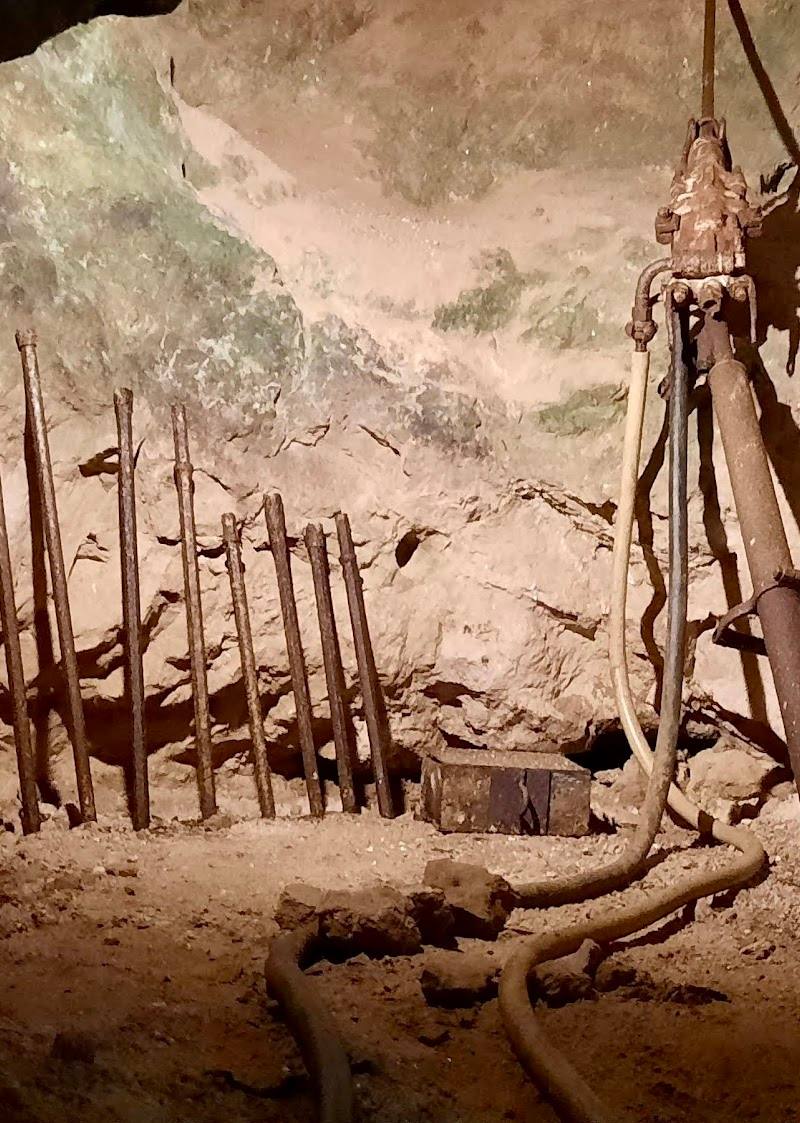
Temple Mine - Peak District Mining Museum
Matlock Bath, Matlock, DE4 3PG
2.5 km away
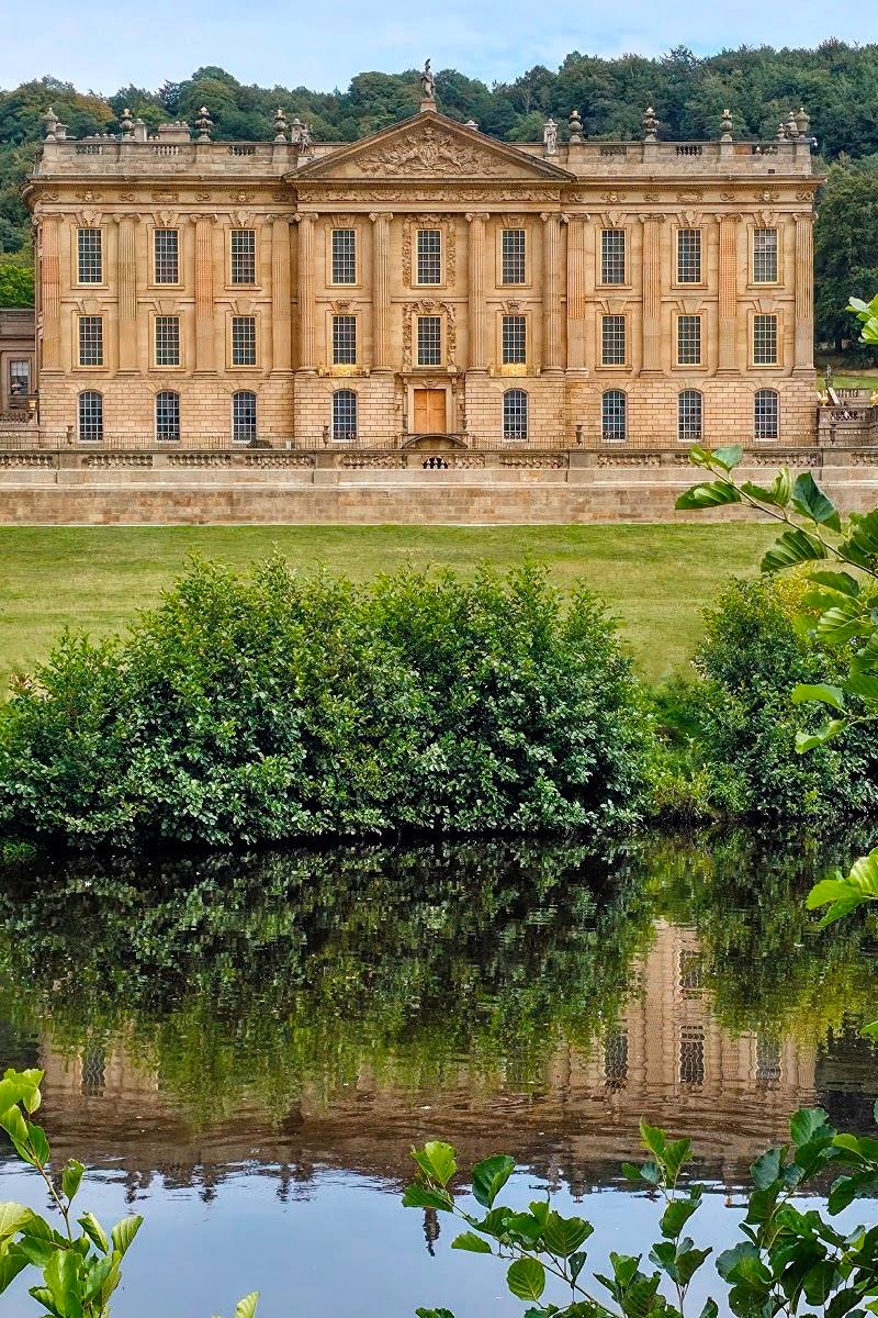 Place photograph6.8
Chatsworth House Gardens
Chatsworth, near Bakewell, Derbyshire DE45 1PP
14.8 km away
 Place photograph5.4
Chatsworth Farmyard & Adventure Playground
Chatsworth House, Bakewell, Derbyshire DE45 1PP
15.0 km away