The Anglo-Scottish border, spanning Northumberland and the Scottish Borders
The Cheviot Hills
Rolling hills
Place photograph
7.0
Wildland
Half day, Full day, Multi-day
Time
Check
Cost
Wild
Feel
Why it's Wildland
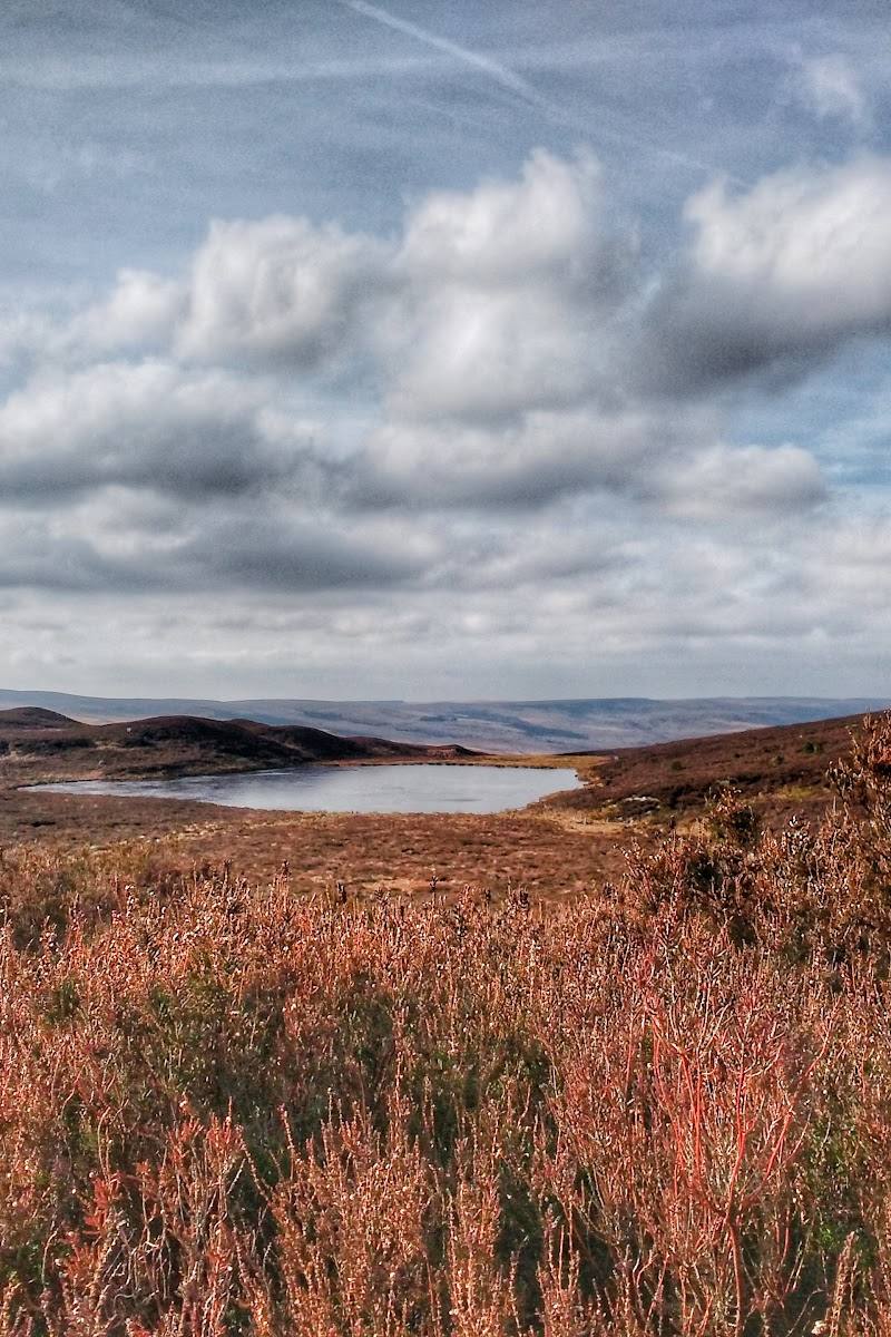
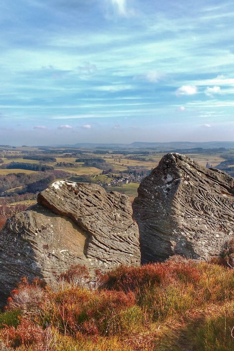
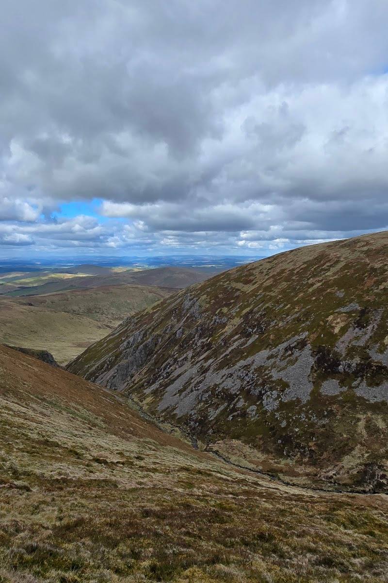
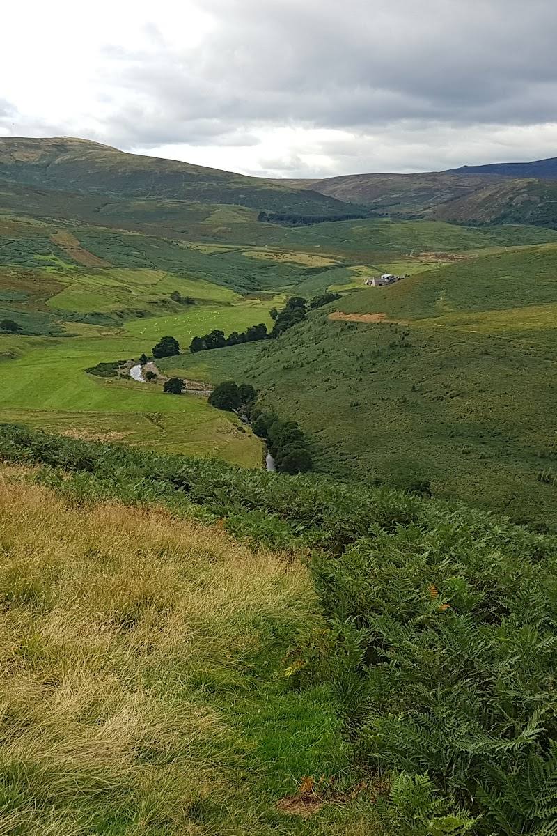
7.0Rounded hills formed from ancient volcanic rock frame a landscape of high summits, remote valleys, waterfalls and traces of prehistoric life. The Cheviot, at 815 metres, is Northumberland National Park’s highest point.
The Cheviots reward more than a summit bagging attempt: the wider range combines open hill country with waterfalls, river valleys, wildlife-watching spots and visible prehistoric remains. Choose a single valley or landmark for a shorter visit, or plan a demanding hill day with current route and weather information.
Wild · Big-sky · Peaceful · Remote
Find your way
Open mapThe Anglo-Scottish border, spanning Northumberland and the Scottish Borders
Opening map…
Know this place a little better?
The experience
Pick one focus rather than trying to cover the range in a single visit: climb The Cheviot, walk to Linhope Spout, explore the Breamish Valley’s hillfort landscape, or watch for birds in Harthope Valley. Plan for upland conditions and verify your route before departure.
Things to do
Ascend The Cheviot
Hike to the highest point in Northumberland National Park. Check route details, weather and ground conditions before setting out.
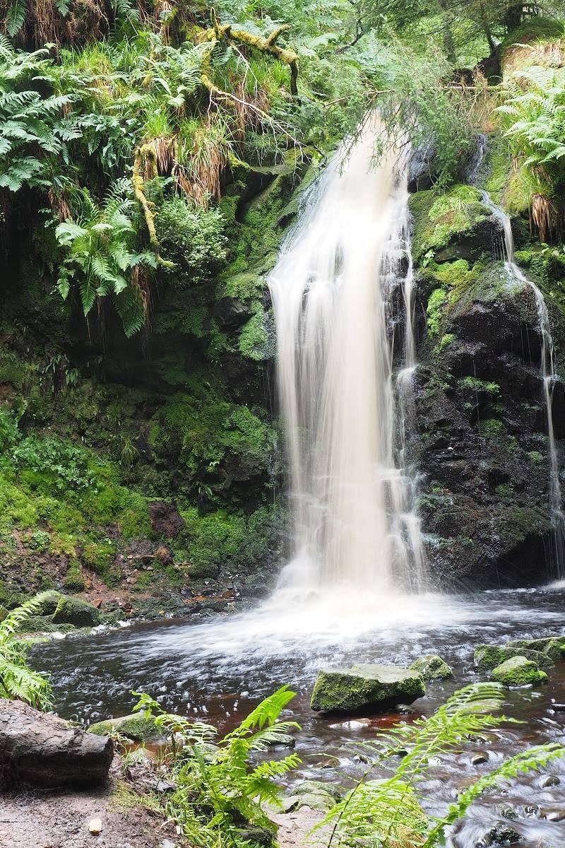
Visit Linhope Spout
Walk to the dramatic waterfall in the Breamish Valley. The cited national park page identifies it as a destination; confirm the route and current access before visiting.
Explore the Breamish Valley hillforts
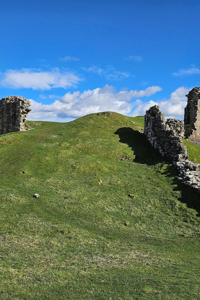
Discover the valley’s historic hillfort landscape, including the Iron Age hillfort at Yeavering Bell.
Watch for birds in Harthope Valley
The National Park identifies Harthope Valley as a favourite spot for bird watchers. Wildlife sightings are not guaranteed.
Make a day of it
Quick escape · Allow a few hours; time depends on the chosen walk.
A short Cheviots sampler
- 01
Choose one accessible-to-you valley or landmark and check current route and access information.
- 02
Walk to a single feature such as Linhope Spout or a Breamish Valley hillfort.
- 03
Allow time to return by the same route or complete the selected signed route, if applicable.
Half day · Half day; route length and time vary.
Make a half day of the Cheviots
- 01
Choose a valley as your base, such as the Breamish or Harthope Valley.
- 02
Combine a walk with a specific destination: Linhope Spout, a hillfort in the Breamish Valley, or wildlife watching in Harthope Valley.
- 03
Check access, route conditions and weather before leaving; do not assume water activities are permitted.
Full Wildland day · Full day; select and plan a suitable route in advance.
A full day on the hills
- 01
Plan a hill walk around The Cheviot, Northumberland National Park’s highest point, using current route information and a suitable weather forecast.
- 02
Build in time to enjoy the upland scenery and pause at a viewpoint or summit feature along your chosen route.
- 03
If conditions or time do not suit a summit walk, choose a lower-level valley visit instead; verify access and transport between locations.
Verified history
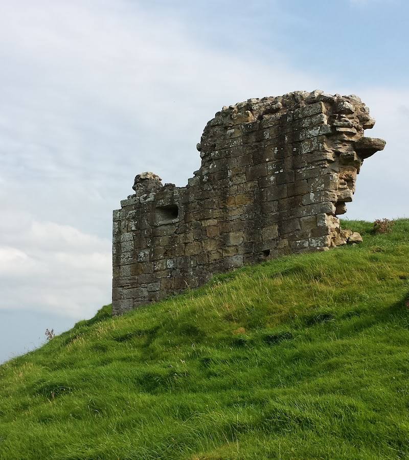
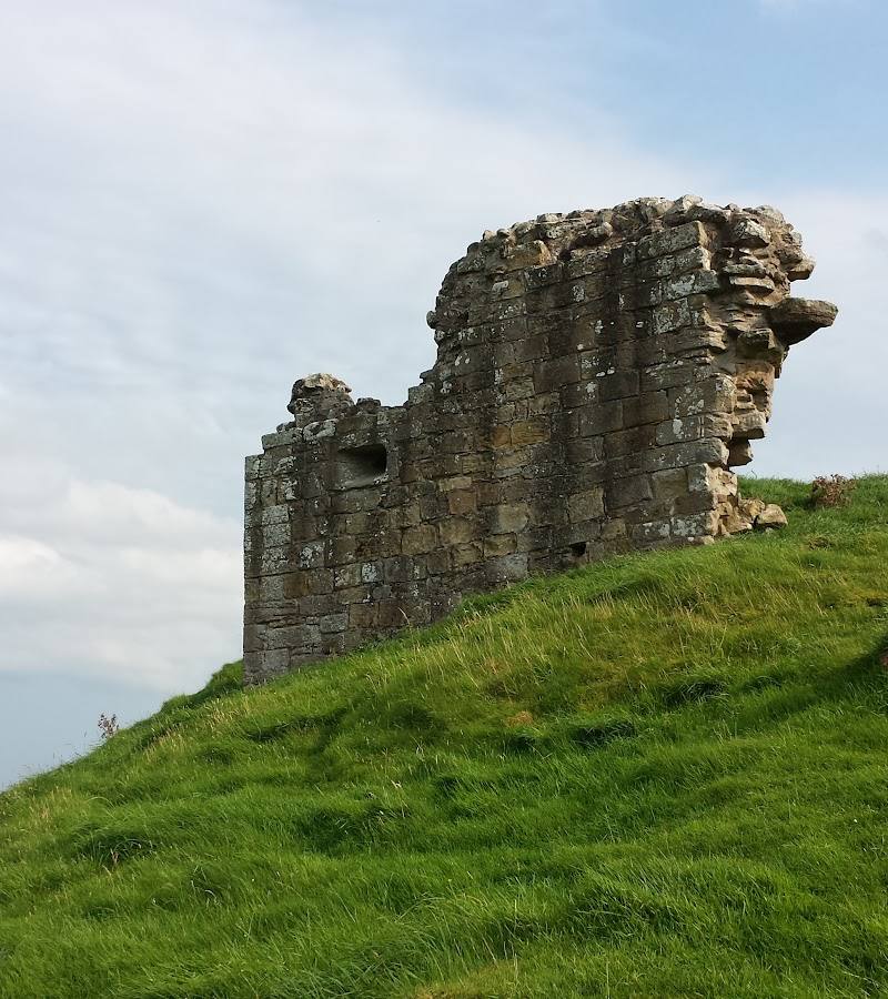
The hills’ distinctive rounded form is attributed to lava that cooled millions of years ago. The landscape also contains prehistoric sites: Yeavering Bell has an Iron Age hillfort, and the National Park highlights other hillforts and ancient remains in the Breamish Valley.
Hidden details
Iron Age traces at Yeavering Bell — The National Park points visitors to the remains of an Iron Age fort at Yeavering Bell, a specific historical detail to seek out while exploring the hills.
When to go
· Choose a clear-weather window for views and allow enough daylight for the route you select. Check the forecast and conditions before setting off.
The supplied sources describe walking, wildlife and hill scenery but do not establish specific peak months. Daylight and upland conditions should guide timing.
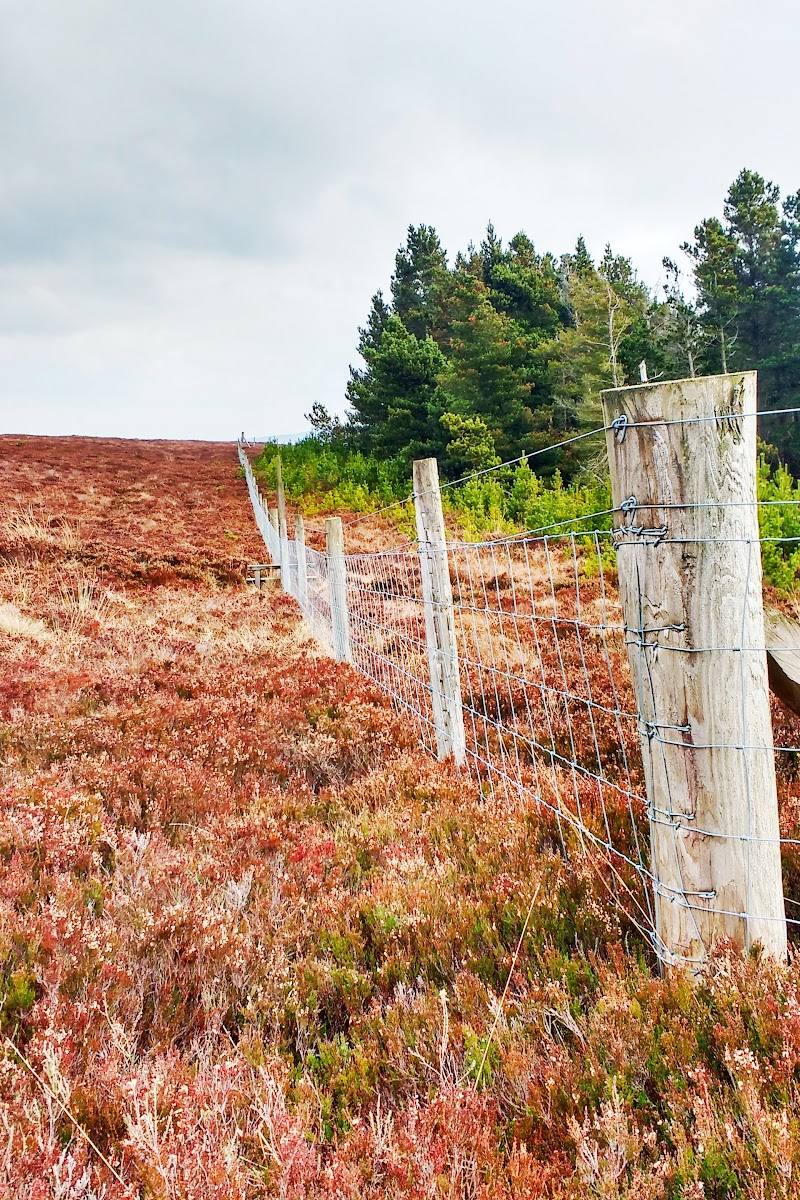
The summit and surrounding upland routes can be boggy; check current weather and route conditions, and take appropriate hill-walking precautions.
Worth pairing with
Jedburgh
A historic town on the Scottish Borders with Jedburgh Abbey and other heritage attractions; a possible town visit to pair with time in the Cheviots, depending on your route.
Breamish Valley
A scenic valley setting with historic hillforts, suitable as a complementary focus for a visit to the wider Cheviots.
What to look for
Look for the summit trig point on The Cheviot, the waterfall at Linhope Spout, and the remains of Iron Age hillforts around Yeavering Bell and the Breamish Valley. The national park also describes the hills’ rounded volcanic origins.
The story
Archaeology
Best time to go
Spring to autumn for longer daylight and varied walking; conditions on higher ground can be challenging in any season.
Choose a clear day for wider views, but check the mountain weather and ground conditions before walking. Longer daylight makes it easier to plan a substantial route.
How long to spend
Half day, Full day, Multi-day
Perfect for
Walkers · Photographers · Wildlife lovers · History lovers
Before you go
Address
Google rating
Practical information
Opening & access
A broad hill landscape with walking routes and places to explore. Access, route conditions and any local restrictions vary; check current information before setting out. Some paths are rough, and the summit and valleys can be boggy. Access arrangements are unconfirmed. Check before visiting; do not enter private land or restricted structures.
Check before visiting
Parking
Check before visiting; parking depends on the chosen trailhead or valley.
Check before visiting
Toilets
Check before visiting.
Check before visiting
Food & drink
Check before visiting.
Check before visiting
Dogs
Check before visiting and follow local signs and livestock guidance.
Check before visiting
Accessibility
This is a large, varied upland landscape rather than a single managed attraction. Walking options and terrain differ; some routes are steep, rough or boggy. Check route suitability and access before setting out.
Check before visiting
Cost
Check before visiting
Check before visiting
Water
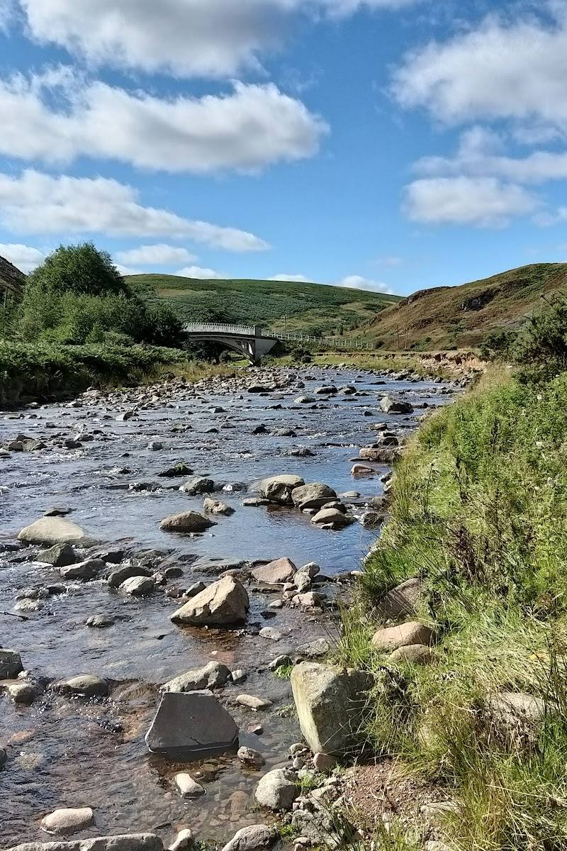
River, Waterfall, Pond
Gallery
Place photographs
Keep exploring
Around The Cheviot Hills
Within 50 km · approximate straight-line distances