6.8
Wildland
Full day
Time
Check
Cost
Wild
Feel
Why it's Wildland
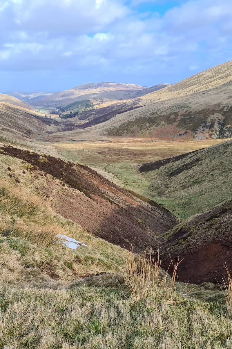
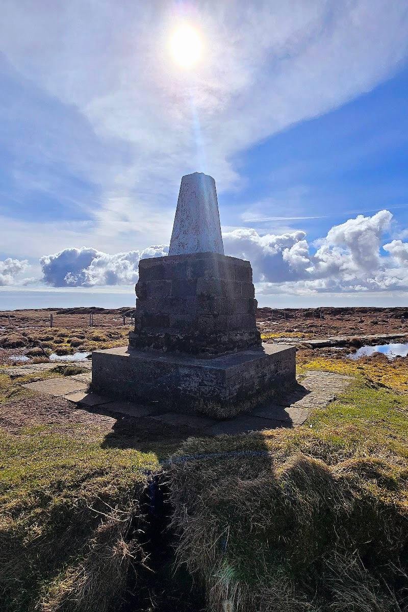
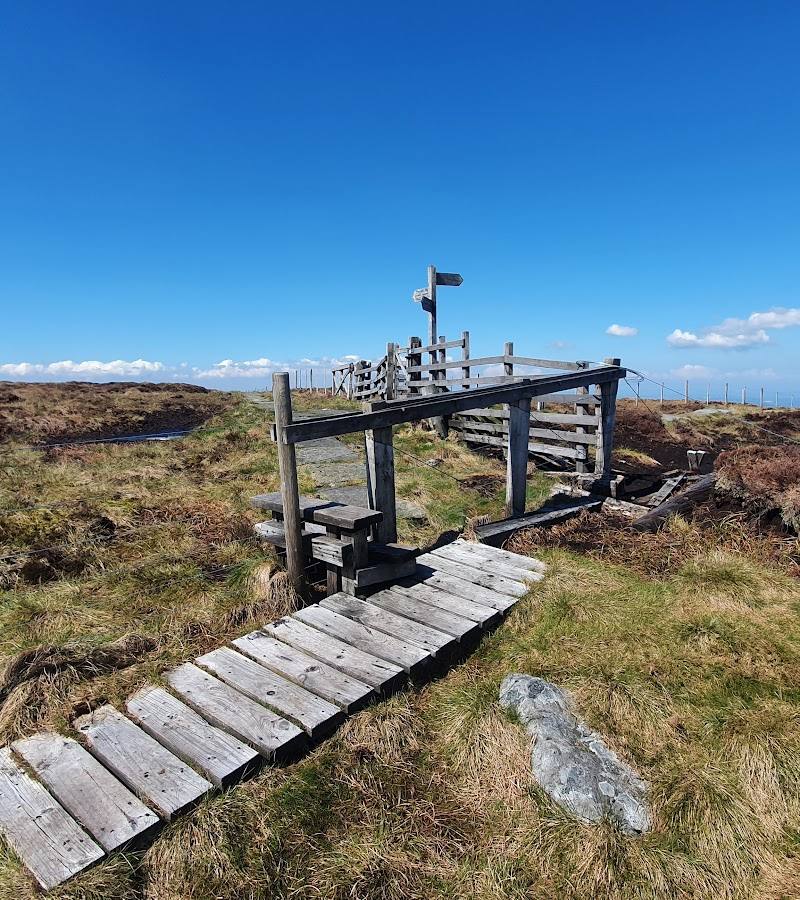
6.8At 815 metres, The Cheviot is Northumberland National Park’s highest summit. A millstone-slabbed path crosses the boggy upland towards the top, where clear-weather views open across the surrounding hills and far beyond.
The appeal is the full upland journey: a high, exposed summit, broad moorland and a distinctive slabbed path across notoriously boggy ground. It rewards prepared walkers with a proper sense of scale and remoteness, rather than a quick roadside view.
Wild · Remote · Big-sky · Dramatic
Find your way
Open mapNear Wooler, Northumberland
Opening map…
Know this place a little better?
The experience
This is a serious hillwalking destination rather than a short stop. Plan a full day, take suitable navigation and weather protection, and treat the summit as a goal within a route—not a guaranteed panoramic lookout, since visibility depends on conditions.
Things to do
Ascend Northumberland’s highest summit
The National Park highlights the hike to The Cheviot as a summit walk. Plan carefully: the summit is upland terrain and the supplied sources describe boggy conditions.
Full day; confirm against a current route guide
Find the summit’s slabbed path
Look for the millstone-slabbed pathway on the summit approach, a distinctive man-made line through the open upland.
Look across the Cheviot hills from the high ground
On a clear day, take time to read the surrounding upland landscape from the summit. Views are weather-dependent; do not count on them in poor visibility.
Make a day of it
Quick escape · 1–2 hours
A taste of the Cheviot uplands
- 01
Choose a clearly described, currently accessible lower-level walk in the Cheviot area rather than attempting the summit without time for a full hill walk.
- 02
Pause to take in the valley and moorland landscape, then return by your chosen route.
Half day · Half day
Make a half day of the surrounding hills
- 01
Explore a sourced lower-level Cheviot area walk, such as the Harthope Valley, where the National Park identifies birdwatching as an attraction.
- 02
Allow time for a second stop only if conditions, daylight and your transport plans make it practical; verify current access and facilities first.
Full Wildland day · Full day
Summit day: ascend The Cheviot
- 01
Plan a full hillwalking day and choose a route from current, reliable route guidance; the supplied sources do not establish one definitive start point or parking location.
- 02
Check the forecast, visibility, daylight and route conditions before departure, and carry suitable navigation and clothing.
- 03
Follow the route towards the summit, taking care over boggy ground and the exposed upland terrain.
- 04
Reach the summit and its slabbed path only if conditions and your progress make it safe to do so, then return by your planned route.
Verified history
The supplied sources identify The Cheviot as the highest summit in Northumberland National Park and describe the wider Cheviots as a landscape with ancient history and prehistoric sites. They do not provide a specific, verified historical account tied to the summit itself.
Hidden details
A paved line across boggy upland — The millstone-slabbed summit path stands out against the peat-bog terrain. It is a useful detail to watch for, but should not be taken to mean the whole route is paved or easy.
When to go
May · June · July · August · September · Start early enough to allow a full day and return in daylight; choose a clear, settled forecast.
Longer daylight in late spring and summer can make planning a substantial hill walk more manageable. The supplied sources describe the summit as boggy and note that upland weather can be unpredictable, so conditions matter more than the calendar.
Exposed upland weather can change quickly. Check the forecast and visibility, prepare for wind, rain and boggy ground, and carry appropriate clothing and navigation. Reconsider the summit if conditions are poor.
The route
- surface
- Millstone-slabbed path near the summit; boggy upland terrain is reported. Surface varies by route.
- duration
- Full day; confirm using current route guidance
- difficulty
- Challenging
- start point
- Check current route guidance; the supplied sources do not establish a definitive start point.
- parking start
- Check before visiting; a verified parking point for the summit route is not established by the supplied sources.
- shorter alternative
- Choose a lower-level walk in the Cheviot area, such as around Harthope Valley, using current route and access information.
- Northumberland National Park’s highest summit
- Millstone-slabbed path near the summit
- Open Cheviot upland and weather-dependent distant views
Worth pairing with
Harthope Valley
A National Park-highlighted Cheviot area, noted as a favourite place for birdwatchers. It is a worthwhile lower-level landscape pairing, but check route and access details before travelling.
Linhope Spout
A dramatic waterfall in the Breamish Valley, featured by the National Park. Consider it as a separate stop if time, conditions and your route allow; do not assume swimming is permitted.
Breamish Valley hillforts
The National Park points visitors towards hidden hillforts in the Breamish Valley, offering a distinct landscape and heritage contrast to a summit walk.
What to look for
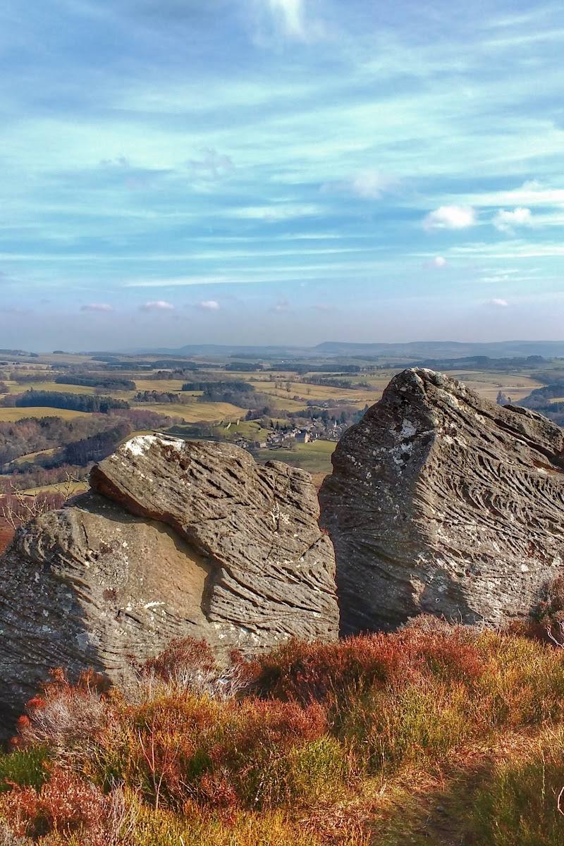
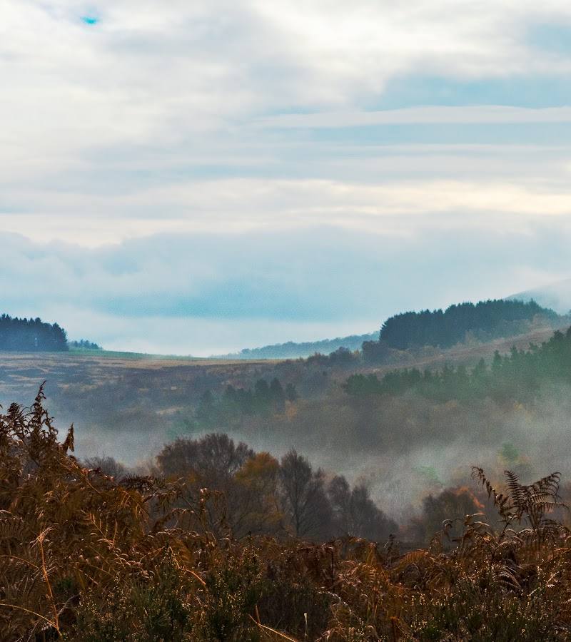
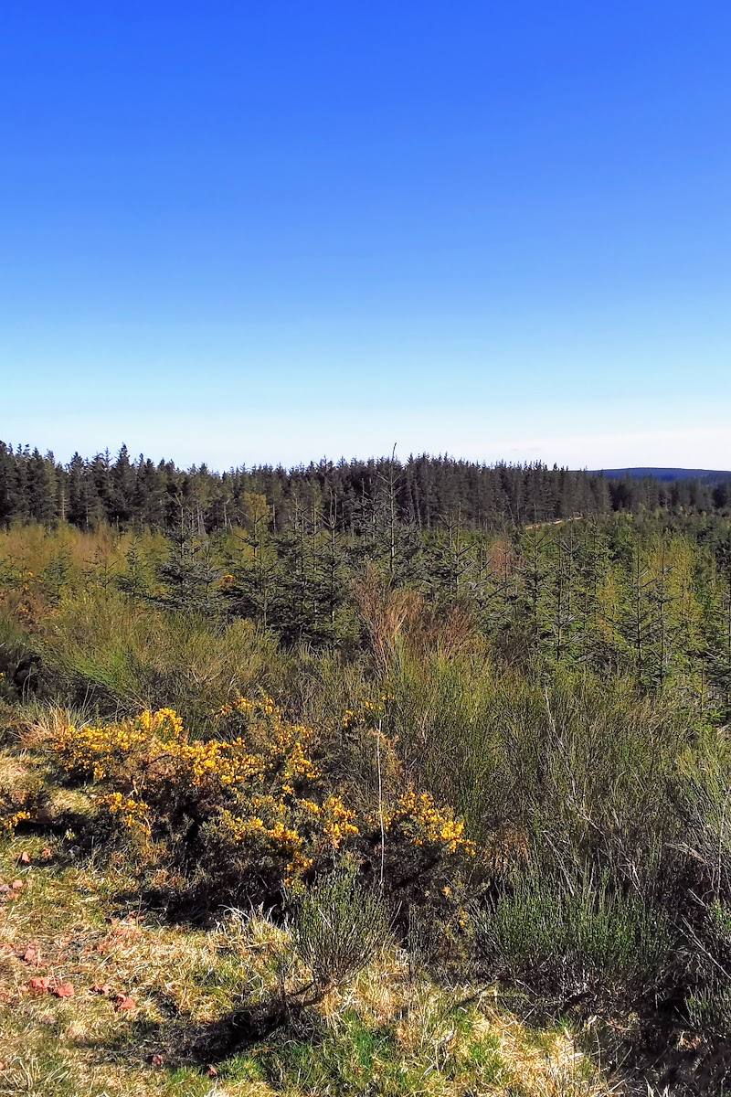
Notice the millstone-slabbed path across the summit approach and the contrast between open moorland, peat bog and the surrounding valleys. In clear weather, look outward from the summit for the wide-ranging views described by the source material.
The story
Upland landscape; the wider Cheviots contain prehistoric hillforts, but no specific historical feature on The Cheviot summit is established by the supplied sources.
Best time to go
Late spring to early autumn for longer daylight; conditions can be demanding at any time of year.
Choose a settled, clear day with a reliable forecast and enough daylight for your chosen route. The summit is exposed, and conditions can change quickly.
How long to spend
Full day
Perfect for
Walkers · Photographers · Wildlife lovers
Before you go
Address
Google rating
Practical information
Opening & access
The summit is reached on foot by upland routes, including the Pennine Way. Access, route conditions and any local restrictions can change; check current guidance before setting out. Access arrangements are unconfirmed. Check before visiting; do not enter private land or restricted structures.
Check before visiting
Parking
Check before visiting; the supplied sources do not establish a verified parking point for the summit route.
Check before visiting
Toilets
Check before visiting
Check before visiting
Food & drink
Check before visiting
Check before visiting
Dogs
Check current local guidance and signage before visiting.
Check before visiting
Accessibility
A challenging upland walk, not a straightforward accessible viewpoint. Expect steep ground, boggy sections and exposed weather; choose a route appropriate to your experience and conditions.
Cost
Check before visiting
Check before visiting
Water
Check before visiting
Check before visiting
Gallery
Place photographs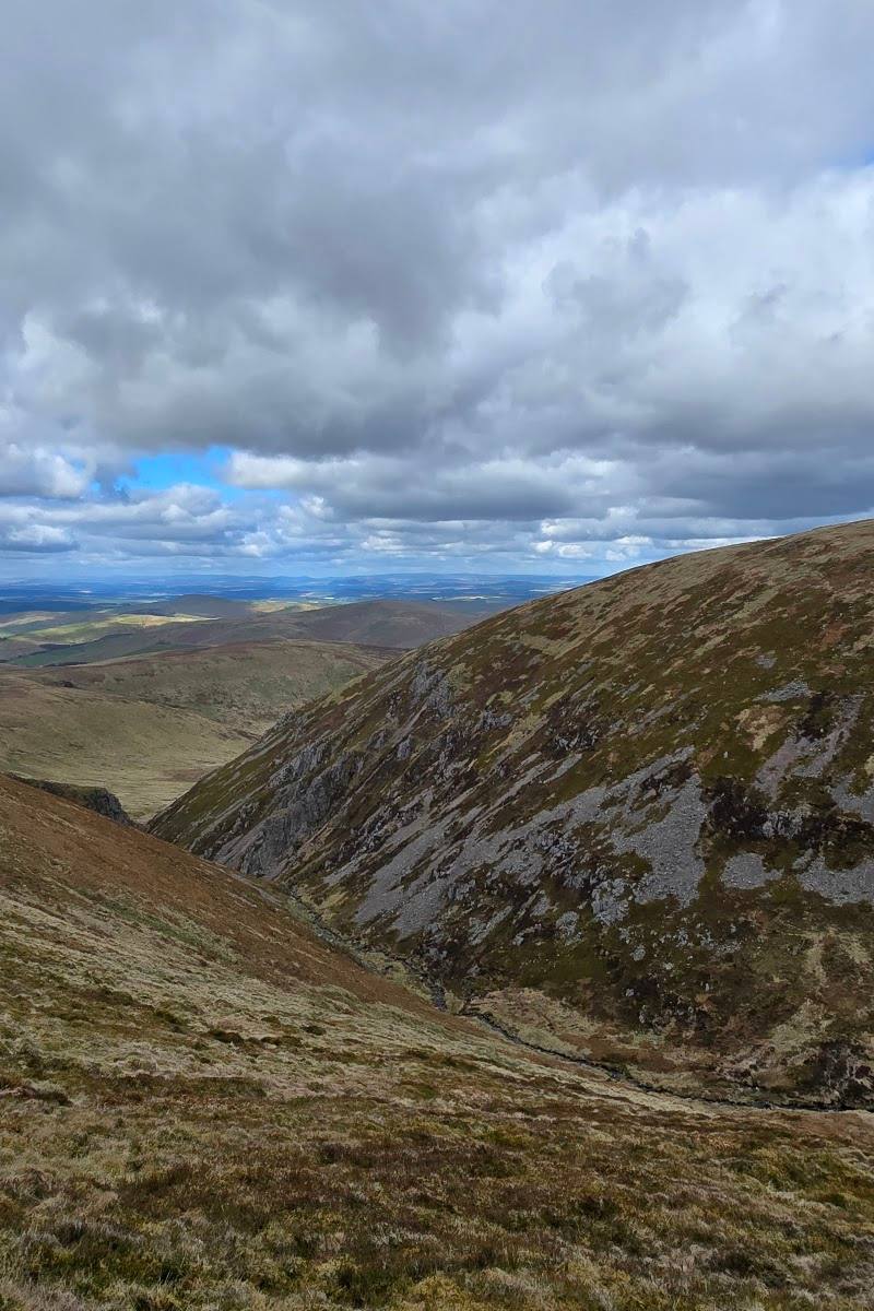
Keep exploring
Around The Cheviot
Within 50 km · approximate straight-line distances