Thames Road, Dartford, DA1 5FH
Thames Road Wetland
Mixed-habitat reserve
Source image
5.6
Wildland
Check before visiting
Time
Check
Cost
Wild
Feel
Why it's Wildland
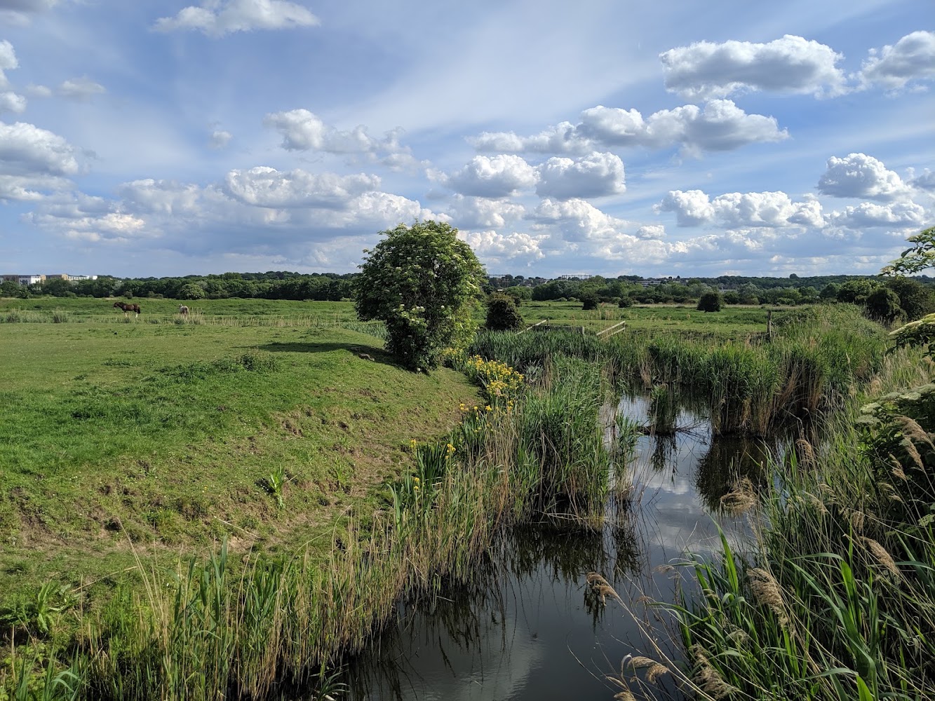
5.6A small urban wetland with shallow water, reedbed habitat and a record of notable local wildlife, including Water Voles and Water Rail.
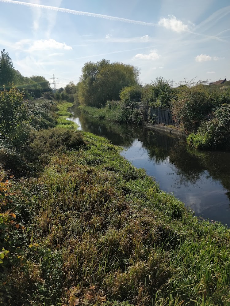
Thames Road Wetland is a compact, easily overlooked wildlife site with a more substantial conservation story than its urban setting suggests. Its wetlands and reedbeds support species of local and national interest, but visitor access and practical arrangements need checking before a visit.
Wild
Find your way
Open mapThames Road, Dartford, DA1 5FH
Opening map…
Know this place a little better?
The experience
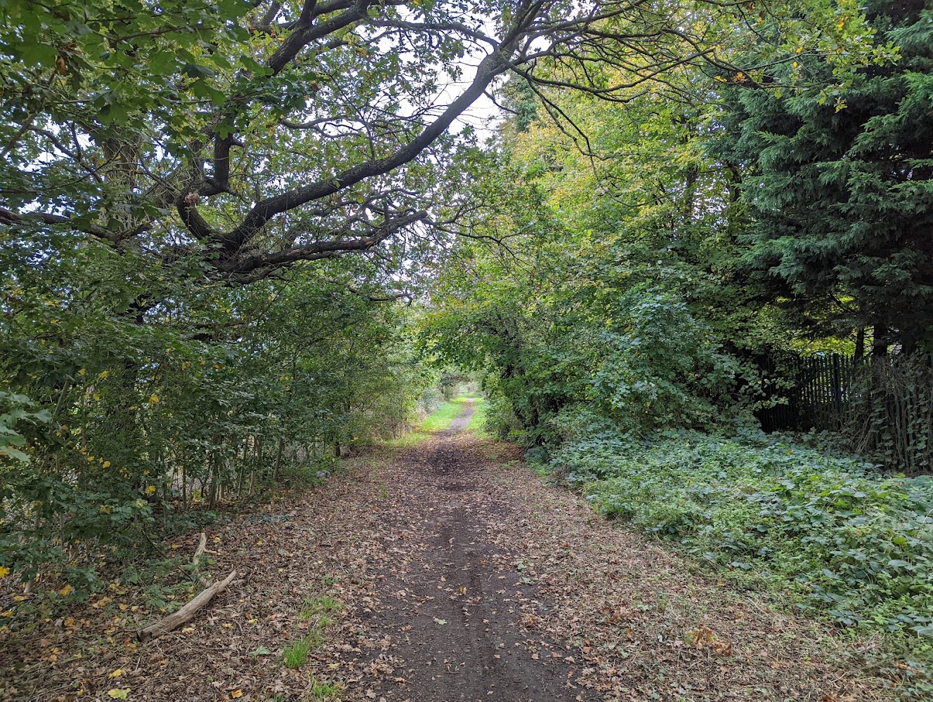
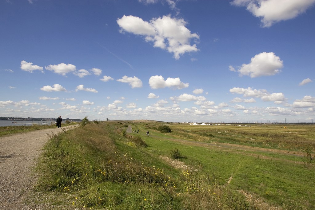
A short wildlife-focused visit is the most supportable plan from the available sources. The site account describes wetland habitat, a modest lake and a panoramic view from the west end of the Sewer Pipe Embankment. Facilities, route length and current access conditions are not confirmed.
Things to do
Look across the reedbed and shallow wetland
Pause to watch for wetland birds. The local wildlife account lists resident, winter, summer and occasional species, including Coot, Moorhen, Teal, Snipe and Little Egret; sightings are not guaranteed.
Take in the view from the west end of the Sewer Pipe Embankment
The local site account identifies this as a viewpoint over much of the wetland, including its modest lake. Check access and conditions before using the route.
Make a day of it
Quick escape · Check before visiting
A short wetland wildlife look
- 01
Check current access arrangements before setting out; the RSPB Bexley Local Group describes access from By-way 105 at the south-west corner.
- 02
From an appropriate accessible viewpoint, look across the wetland and reedbed for birds.
- 03
If using the Sewer Pipe Embankment, note that the local site account describes a view over much of the wetland from its west end.
Verified history
The site account describes Thames Road Wetland as a low-lying wet field that was excavated to create a permanent wetland and flooded in the latter part of 2007. It identifies the area as part of Crayford Marshes and within the M106 River Cray Metropolitan Site of Interest for Nature Conservation. Thames21 describes the wetland as part of a Site of Metropolitan Importance for Nature Conservation.
Hidden details
A wetland built for wildlife — The local site account says the wetland was excavated and flooded in 2007, with deep bunded ditches designed for Water Vole habitation.
A changing mix of habitats — The local account describes shallow water dominated by Greater Reedmace, with Common Reed and other emergent plants, alongside ground that ranges from damp at the west end to dry and stony at the eastern end.
Wildlife of conservation interest — Thames21 names Water Voles and Harvest Mice among the wetland’s wildlife, alongside birds including Water Rail, Cetti’s Warbler and Reed Warbler. These are records or reported site interests, not promised sightings.
When to go
· No sourced recommendation.
The supplied local wildlife account separates bird records by season, but does not establish a best visitor season or guarantee current sightings.
Weather and ground conditions are not described in the supplied sources; check conditions before visiting.
Worth pairing with
Lower River Cray
The RSPB Bexley Local Group suggests Thames Road Wetland as a place to visit when exploring the lower sections of the River Cray. No specific route or access details for a combined outing are verified here.
Crayford Creek and the marshes to the north
The local site account identifies these as nearby wildlife areas worth combining with a visit, but does not provide verified visitor details for them.
What to look for
- 01
Look across the shallow wetland and reedbed for birds
- 02
the local wildlife account lists Water Rail, Cetti’s Warbler and Reed Warbler among recorded species. Water Voles and Harvest Mice are mentioned in Thames21 material. These are possible wildlife interests, not guaranteed sightings.
The story
Created from a low-lying wet field; flooded as a wetland in 2007. The site is associated with Crayford Marshes and lies within the M106 River Cray Metropolitan Site of Interest for Nature Conservation.
Best time to go
No reliably sourced visitor season identified. Wildlife varies through the year; check current site information before planning a visit.
No verified best time of day or peak season is available. The local wildlife account distinguishes resident, winter and summer birds, but its records are not a current guarantee of sightings.
How long to spend
Check before visiting
Perfect for
Wildlife lovers · Walkers
Before you go
Address
Phone
Website
Listed hours
- Monday: Open 24 hours
- Tuesday: Open 24 hours
- Wednesday: Open 24 hours
- Thursday: Open 24 hours
- Friday: Open 24 hours
- Saturday: Open 24 hours
- Sunday: Open 24 hours
Check before visiting.
Google rating
Practical information
Opening & access
The RSPB Bexley Local Group describes an entrance at the south-west corner via By-way 105 and the Sewer Pipe Embankment. Access arrangements are not confirmed by a current official visitor page; check before visiting. Do not use the fenced Thames Road edge as an assumed entrance.
Check before visiting
Parking
Parking availability is not verified; check before visiting.
Check before visiting
Toilets
No facilities are listed by the RSPB Bexley Local Group. Check before visiting.
Check before visiting
Food & drink
No on-site food is listed; check before visiting.
Check before visiting
Dogs
Dog rules are not verified. Check current site information and signage before visiting.
Check before visiting
Accessibility
Path surfaces, step-free access and accessibility are not verified. Check before visiting.
Check before visiting
Cost
Check before visiting
Check before visiting
Water
Wetland; shallow water and a modest lake are described. Swimming and paddling permission are not established.
Gallery
Place photographsKeep exploring
Around Thames Road Wetland
Within 50 km · approximate straight-line distances