Thamesbank Place, London SE28 8PR
Thames Path
route · Long-distance trail
Source image
5.8
Wildland
A short section can suit an afternoon
Time
Check
Cost
Historic
Feel
Why it's Wildland
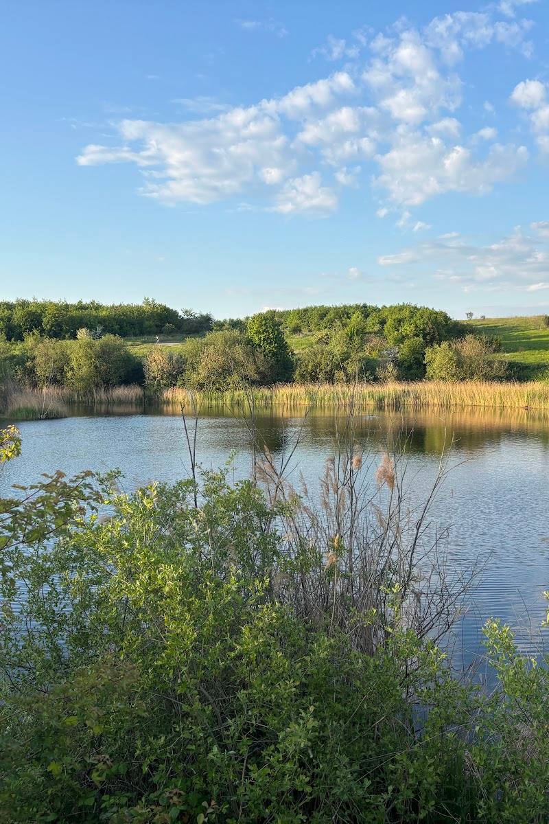
5.8Follow England’s best-known river on a 298 km National Trail from its Cotswold source to Woolwich, passing water meadows, villages, historic towns and London.
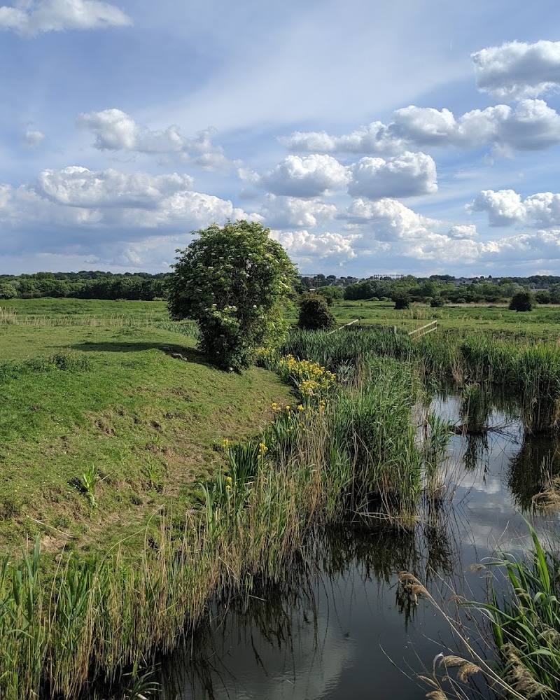
The Thames Path earns its place through the changing character of a river journey: quiet water meadows and villages give way to historic towns and the capital. This record points to Woolwich, but the exact local access point and a walkable section from the supplied pin still need checking.
Historic · Changing landscape
Find your way
Open mapThamesbank Place, London SE28 8PR
Opening map…
Know this place a little better?
The experience
The Thames Path is best experienced in sections: use the official route information to choose a stretch, then follow the river through its particular mix of countryside, settlements and urban waterside. The supplied London pin is not verified as a trail entrance, so confirm your starting point before travelling.
Things to do
Choose a Thames Path section
Use the National Trails interactive map and route descriptions to select a walk that suits your time and starting point. The supplied pin is not confirmed as an entrance.
Look for riverside wildlife
The trail information notes that birds are present around the river throughout the year and are especially active and visible in April and May.
Walk among seasonal wildflowers
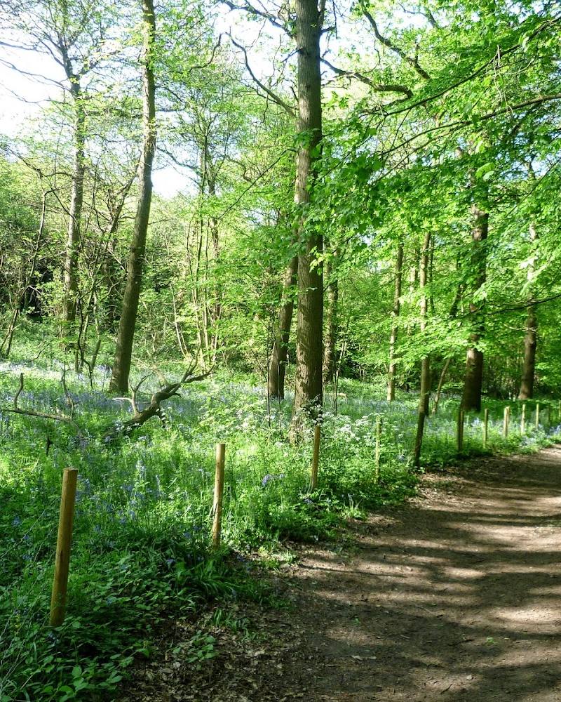
The National Trails page recommends April to September for visitors particularly interested in wildflowers; no specific species or location is verified for this pin.
Make a day of it
Quick escape · Afternoon stroll; exact duration depends on the chosen section.
A short riverside section
- 01
Use the National Trails interactive map to identify a suitable Thames Path access point and section.
- 02
Walk a manageable stretch beside the river, checking the route description and current conditions before setting out.
- 03
Return the same way or plan transport at the far end only after confirming the route and connections.
Half day · Half day; route length and timing depend on the selected section.
Make a half day of a Thames Path section
- 01
Choose a section using the official trail map and route descriptions.
- 02
Allow time to follow the river at an unhurried pace and notice changes in the riverside landscape.
- 03
Check the map for transport, food and drink services before committing to a linear walk.
Verified history
The Thames Path was identified as one of the country’s long-distance recreational routes in the National Parks and Access to the Countryside Act 1949. Its final section was opened and the National Trail inaugurated at the Thames Barrier on 24 July 1996. The National Trails page describes the current trail as running 298 km from the Thames’s source to Woolwich.
When to go
April · May · June · July · August · September · October · No specific time of day is verified; check the selected section and local conditions.
The National Trails page recommends spring through the end of autumn. It identifies April and May as especially good for observing active river birds, and April to September for wildflowers.
Check the forecast and current trail information before walking. Conditions and route accessibility can vary by section.
The route
- distance
- 298 km (185.2 miles) for the full Thames Path National Trail.
- duration
- Multi-day for the full trail; the trail can also be walked as an afternoon stroll or weekend break.
- difficulty
- Described by National Trails as gentle, mostly flat and one of the easier trails to navigate.
- waymarking
- Described by National Trails as very well way-marked; a guidebook or map is still recommended.
- route shape
- Linear, from the Thames’s source in the Cotswolds to Woolwich.
- start point
- The source of the Thames in the Cotswolds.
- parking start
- Check before visiting; parking at the supplied pin or chosen section is not verified.
- shorter alternative
- Choose a single section or an afternoon stroll using the official route descriptions; no specific shorter route from the supplied pin is verified.
- River landscapes that include water meadows, villages, historic towns and cities.
- A long-distance route ending at Woolwich.
- River birds, particularly active and visible in April and May.
What to look for
- 01
Notice how the Thames-side landscape changes between open water meadows, villages, historic towns and London. On a section walk, look for the river’s wildlife and flowers in season
- 02
the supplied sources do not verify specific features at the pin.
The story
River landscape and the history of the Thames Path National Trail.
Best time to go
Spring to late autumn; April–May for more active and visible river birds, and April–September for wildflowers.
Spring through autumn is the recommended broad season. For birds, the National Trails page highlights April and May; for wildflowers, April to September.
How long to spend
A short section can suit an afternoon; the full trail is a multi-day walk.
Perfect for
Walkers · History lovers · Wildlife lovers
Route at a glance
Duration
A short section can suit an afternoon; the full trail is a multi-day walk.
Terrain
Riverside, Urban historic
Parking / start
Check before visiting; no parking information is verified for the supplied pin.
Before you go
Address
Listed hours
- Monday: Open 24 hours
- Tuesday: Open 24 hours
- Wednesday: Open 24 hours
- Thursday: Open 24 hours
- Friday: Open 24 hours
- Saturday: Open 24 hours
- Sunday: Open 24 hours
Check before visiting.
Google rating
Practical information
Opening & access
The Thames Path is a National Trail running from the Thames’s source in the Cotswolds to Woolwich. The supplied pin does not confirm a specific access point or local route connection; check the official trail map before setting out. Access arrangements are unconfirmed. Check before visiting; do not enter private land or restricted structures.
Check before visiting
Parking
Check before visiting; no parking information is verified for the supplied pin.
Check before visiting
Toilets
Check before visiting.
Check before visiting
Food & drink
Check before visiting.
Check before visiting
Dogs
Check before visiting for local restrictions and current guidance.
Check before visiting
Accessibility
The National Trails overview describes the path as mostly flat and generally easy to navigate, but accessibility may vary by section. Check the route description for the section you plan to walk.
Check before visiting
Cost
Check before visiting
Check before visiting
Water
River
Gallery
Place photographsKeep exploring
Around Thames Path
Within 50 km · approximate straight-line distances