5.8
Wildland
Half day
Time
Check
Cost
Quirky
Feel
Why it's Wildland
5.8The Grand Surrey Canal once cut through South London between the Thames and Camberwell and Peckham. The canal is gone, but a walk along its former line still encounters traces of its industrial landscape, including striking bridges and a bridge that appears to lead nowhere.
This is a city walk with an unusual premise: following a vanished canal through South London and reading the route through surviving bridges, parkland and street patterns. Its appeal is the contrast between industrial history and the living neighbourhoods that grew around it.
Quirky · Atmospheric
Find your way
Open mapSouth London
Opening map…
Know this place a little better?
The experience
A linear heritage walk along the former Grand Surrey Canal, from the Thames at Rotherhithe towards Camberwell and Peckham. The local guide divides it into six sections, each under an hour, and gives public-transport options for reaching section starts and ends. Confirm the detailed route and current access before setting out.
Things to do
Follow the former canal alignment
Use the local self-guided walk guide to trace the route of the former canal between the Thames at Rotherhithe and Camberwell and Peckham.
Up to a short day, depending on pace and stops
Notice the surviving bridges
Watch for the old canal bridges along the route, physical reminders of the waterway that once crossed this part of South London.
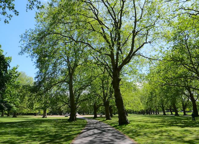
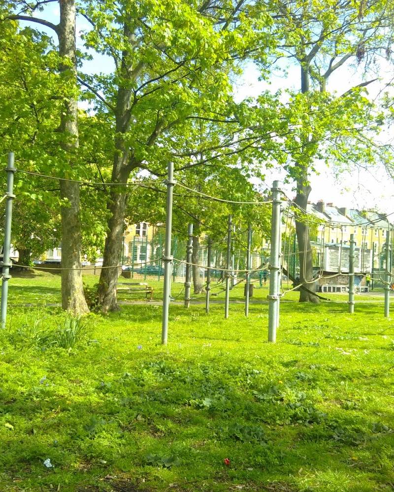
Continue through Burgess Park and Chumleigh Gardens
A supplied walking account combines part of the former canal route with Burgess Park and Chumleigh Gardens; treat this as a possible extension, not the complete canal walk.
About 1–1.5 hours for the separate 6 km loop described by AllTrails
Make a day of it
Quick escape · Less than an hour, depending on the section and stops
A short section of the former canal
- 01
Choose one of the six sections in the local self-guided walk guide.
- 02
Use the guide’s public-transport directions to reach the section start and return from its end.
- 03
Follow the former canal line and pause to notice the bridges and changes in the surrounding streets.
Half day · A short day; exact duration depends on pace and refreshment stops
Walk the full former canal route
- 01
Use the local guide to follow the former canal route from the Thames at Rotherhithe towards Camberwell and Peckham.
- 02
Break the walk into its six sections if preferred; each is described as taking less than an hour.
- 03
Use the guide’s public-transport options to access section starts and ends, and allow time to investigate sights along the way.
Verified history
The Grand Surrey Canal ran from the Thames at Rotherhithe towards Camberwell and Peckham. A local self-guided walk describes a 4¾-mile route along its former line, divided into six sections. A supplied walking-video description says the canal fell into disrepair after the Second World War, was drained in the 1970s and later reopened as a public pathway for walkers and cyclists in the 1990s; this later account is not independently corroborated by the other supplied sources.
Hidden details
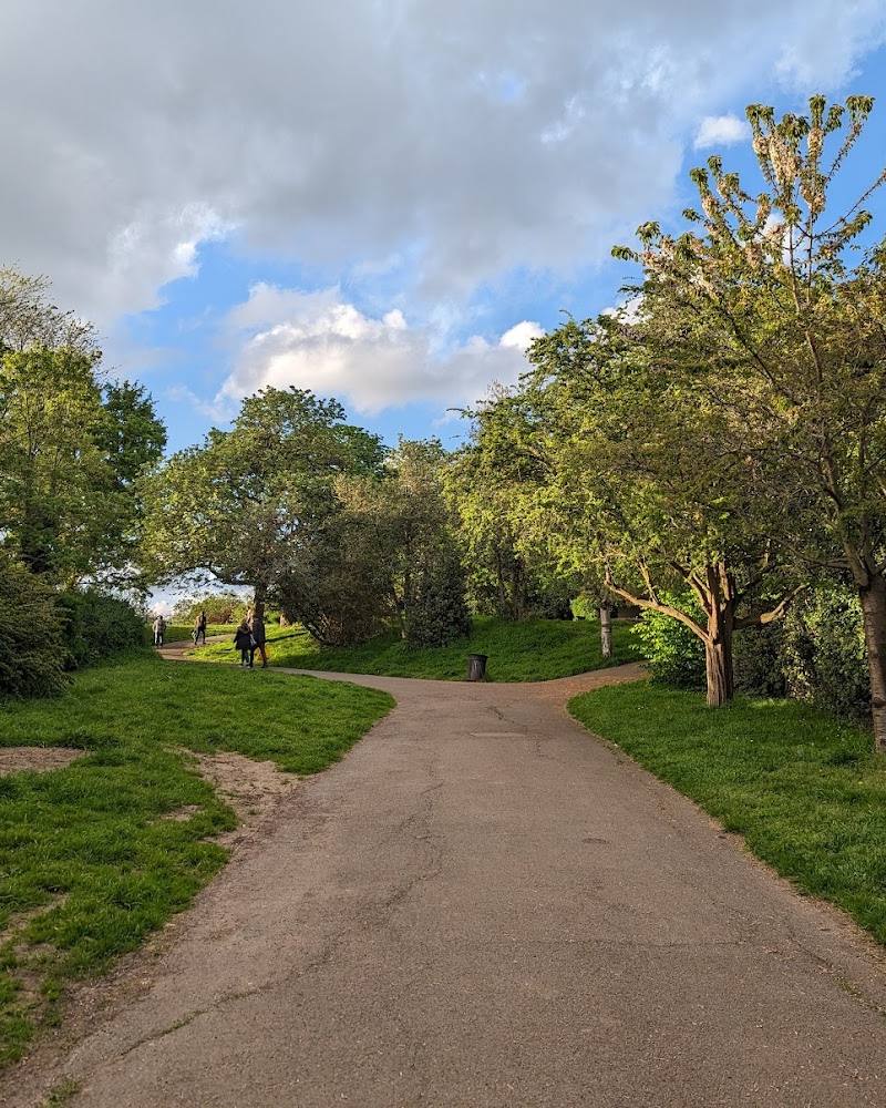
A bridge to nowhere — A supplied video account points out a canal bridge in Burgess Park that can still be crossed but no longer continues along a canal. It is a striking clue to the former route; check the walking guide for its precise location.
The route is split into six sections — The local guide breaks the full walk into six sections, each described as taking less than an hour, making it possible to explore the route in separate outings.
When to go
· No source-backed recommendation; plan around daylight and the route’s public-transport options.
The supplied sources do not identify a preferred season or seasonal highlights.
Check the forecast and current route conditions before setting out; no specific weather guidance is supplied.
The route
- distance
- 4¾ miles for the former canal route described by the local guide
- duration
- A short day for the full walk; six sections, each under an hour, depending on stops
- route shape
- Linear route; the guide describes options for walking separate sections
- start point
- The historic route begins at the Thames at Rotherhithe; no precise start entrance is verified.
- parking start
- Check before visiting. The local guide gives public-transport options for accessing section starts and ends; the supplied Google pin is not a verified start or parking point.
- shorter alternative
- Walk one of the six sections in the local guide; each is described as taking less than an hour.
- Former Grand Surrey Canal alignment
- Surviving canal bridges
- Burgess Park and Chumleigh Gardens as a possible extension
Worth pairing with
Burgess Park and Chumleigh Gardens
A supplied route account includes Burgess Park and Chumleigh Gardens as part of a separate loop that also uses a section of Surrey Canal Walk. Consider them as an extension rather than assume they are on the full canal itinerary.
What to look for
- 01
Look for the old canal bridges and the striking bridge described by a supplied walk account as a ‘bridge to nowhere’. Notice how the route passes through today’s streets and parkland, including Burgess Park
- 02
the historic alignment is the focus rather than a canal-side waterway.
The story
Industry
Best time to go
No specific best season is established by the supplied sources; check conditions and route guidance before travelling.
No source-backed time-of-day recommendation is available. Choose a time that suits the daylight and your transport plans; check current route guidance.
How long to spend
Half day
Perfect for
Walkers · History lovers · Photographers
Route at a glance
Duration
Half day
Terrain
Urban historic, Parkland
Parking / start
Check before visiting; no parking information verified.
Before you go
Address
Listed hours
- Monday: Open 24 hours
- Tuesday: Open 24 hours
- Wednesday: Open 24 hours
- Thursday: Open 24 hours
- Friday: Open 24 hours
- Saturday: Open 24 hours
- Sunday: Open 24 hours
Check before visiting.
Google rating
Practical information
Opening & access
A local self-guided walk follows the former canal route. The supplied guide describes it as a public pathway; check the guide for section access and public-transport options before setting out.
Check before visiting
Parking
Check before visiting; no parking information verified.
Check before visiting
Toilets
Check before visiting
Check before visiting
Food & drink
Check before visiting
Check before visiting
Dogs
Check before visiting
Check before visiting
Accessibility
The sources do not establish accessibility for the full route; check the route guide and individual sections before setting out.
Check before visiting
Cost
Check before visiting
Check before visiting
Water
Canal (historic route; the canal is no longer present along the walk)
Gallery
Place photographs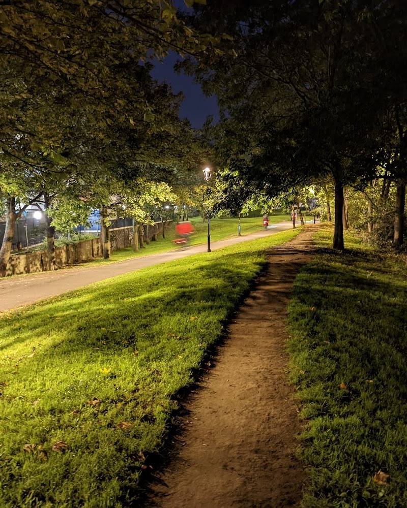
Keep exploring
Around Surrey Canal Walk
Within 50 km · approximate straight-line distances