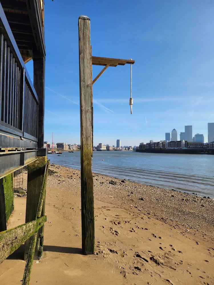
Shadwell, London, E1W 3QZ, United Kingdom
Shadwell Basin
Waterside landscape
Place photograph
4.7
Wildland
Under 1 hour
Time
Check
Cost
Atmospheric
Feel
Why it's Wildland
4.7A working dock basin with a long maritime past, now framed by modern London and used as a waterside community space.
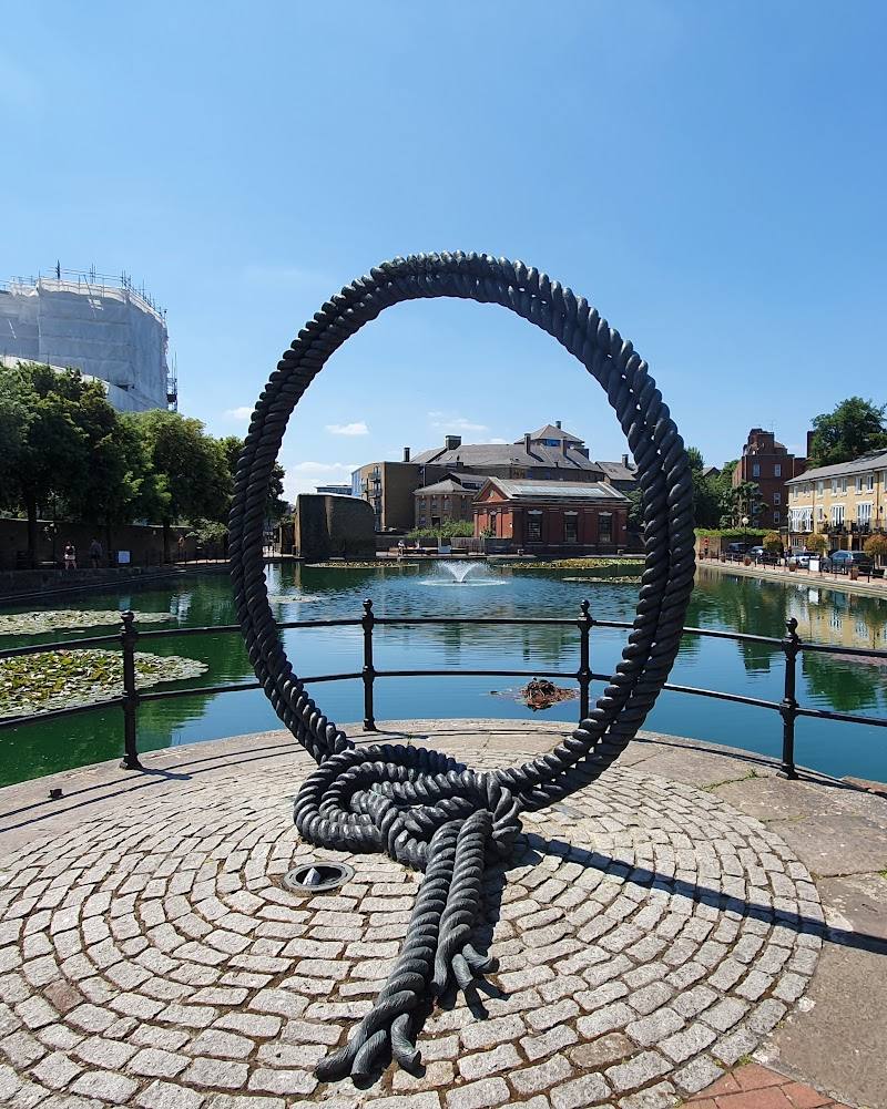
Shadwell Basin is a surviving piece of London’s docklands: a broad stretch of water where the city’s working-port history remains legible alongside today’s marina and riverside neighbourhood. It offers a compact, distinctive waterside stop rather than a wilderness escape.
Atmospheric
Find your way
Open mapShadwell, London, E1W 3QZ, United Kingdom
Opening map…
Know this place a little better?
The experience
A short waterside stroll and a chance to read the surviving dock landscape. This is a historic urban basin, not a natural swimming spot; do not enter the water.
Things to do
Walk the Shadwell Basin stroll
Follow the published short stroll from Shadwell Overground Station to the basin, crossing the red bridge and taking in the waterside views. The guide describes the route as 0.8 km and around 20 minutes.
About 20 minutes
Read the dock landscape
Look across the basin and consider how a retained historic dock sits within a redeveloped neighbourhood. The supplied account describes the basin’s connection to the London Docks and later redevelopment around the water.
Watch the basin from the path
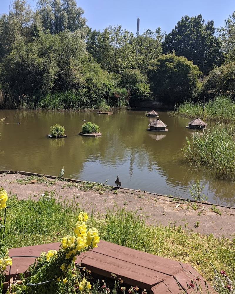
Look for boats and waterbirds from the edge. Do not treat the basin as a swimming spot: a supplied visitor account describes the water as deep and unsafe to enter, and no swimming permission is established.
Make a day of it
Quick escape · About 20 minutes; 0.8 km
The basin-side stroll
- 01
Begin at Shadwell Overground Station, as described by the supplied walk guide.
- 02
Follow the short route towards the basin and take in the enclosed water and dockside setting.
- 03
Cross the red bridge and look for boats and swans from the waterside path.
- 04
Return by the route described in the walk guide.
Verified history
The supplied historical account says Shadwell Basin formed part of the London Docks, with the original dock access opened between 1828 and 1832. As ships grew larger, the London Dock Company built a larger entrance at Shadwell between 1854 and 1858. The docks closed to shipping in 1969; after a period of dereliction, redevelopment began in the 1980s, with housing built around the retained basin in 1987. These dates are reported in a video account rather than an official heritage source.
Hidden details
A dock that survived redevelopment — The supplied historical account identifies Shadwell Basin as a surviving part of the historic London Docks, retained when housing was built around it in 1987.
The red bridge and basin wildlife — The published stroll guide points out a red bridge and suggests watching for swans as you cross.
When to go
· Not established by the supplied sources.
The supplied sources do not identify a seasonal highlight. A clear day may make the waterside setting easier to appreciate.
Check the forecast before visiting; the sources do not provide specific weather or ground-condition advice.
The route
- distance
- 0.8 km
- duration
- About 20 minutes
- start point
- Shadwell Overground Station, according to the supplied walk guide.
- parking start
- Parking information not verified; check before visiting.
- Shadwell Basin
- The red bridge
- Views across the basin
- The historic dock setting
What to look for
Notice the basin’s enclosed dock form, the bridge across the water, the contrast between retained historic water and later housing, and boats or birds when present. The supplied walk guide mentions swans, but wildlife sightings are not guaranteed.
The story
Industry, Maritime
Best time to go
No season is specifically established by the supplied sources. Choose a clear day for the waterside views, and check conditions before setting out.
A clear-weather visit should make it easier to appreciate the basin and its urban setting. The supplied sources do not establish a best season or time of day.
How long to spend
Under 1 hour
Perfect for
Walkers · History lovers · Photographers
Before you go
Address
Google rating
Practical information
Opening & access
Visitor access and current restrictions are not confirmed by the supplied sources. Check before visiting and keep clear of the water’s edge; a source describes the basin as deep and unsafe to enter. Access arrangements are unconfirmed. Check before visiting; do not enter private land or restricted structures.
Check before visiting
Parking
Parking arrangements are not verified. Check before visiting.
Check before visiting
Toilets
Check before visiting.
Check before visiting
Food & drink
Food and drink availability at the basin is not verified. Check before visiting.
Check before visiting
Dogs
Check before visiting.
Check before visiting
Accessibility
The source row reports a wheelchair-accessible entrance, but route surfaces and step-free circulation around the basin are not confirmed. Check before visiting.
Check before visiting
Cost
Check before visiting
Check before visiting
Water
Basin
Gallery
Place photographsKeep exploring
Around Shadwell Basin
Within 50 km · approximate straight-line distances