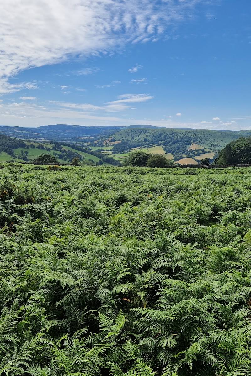
Offa's Dyke Path, Llanvihangel Crucorney, near Abergavenny, NP7 7PD
Pentwyn Iron Age Hill Fort
Fort
Place photograph
4.8
Wildland
Check before visiting
Time
Check
Cost
Atmospheric
Feel
Why it's Wildland
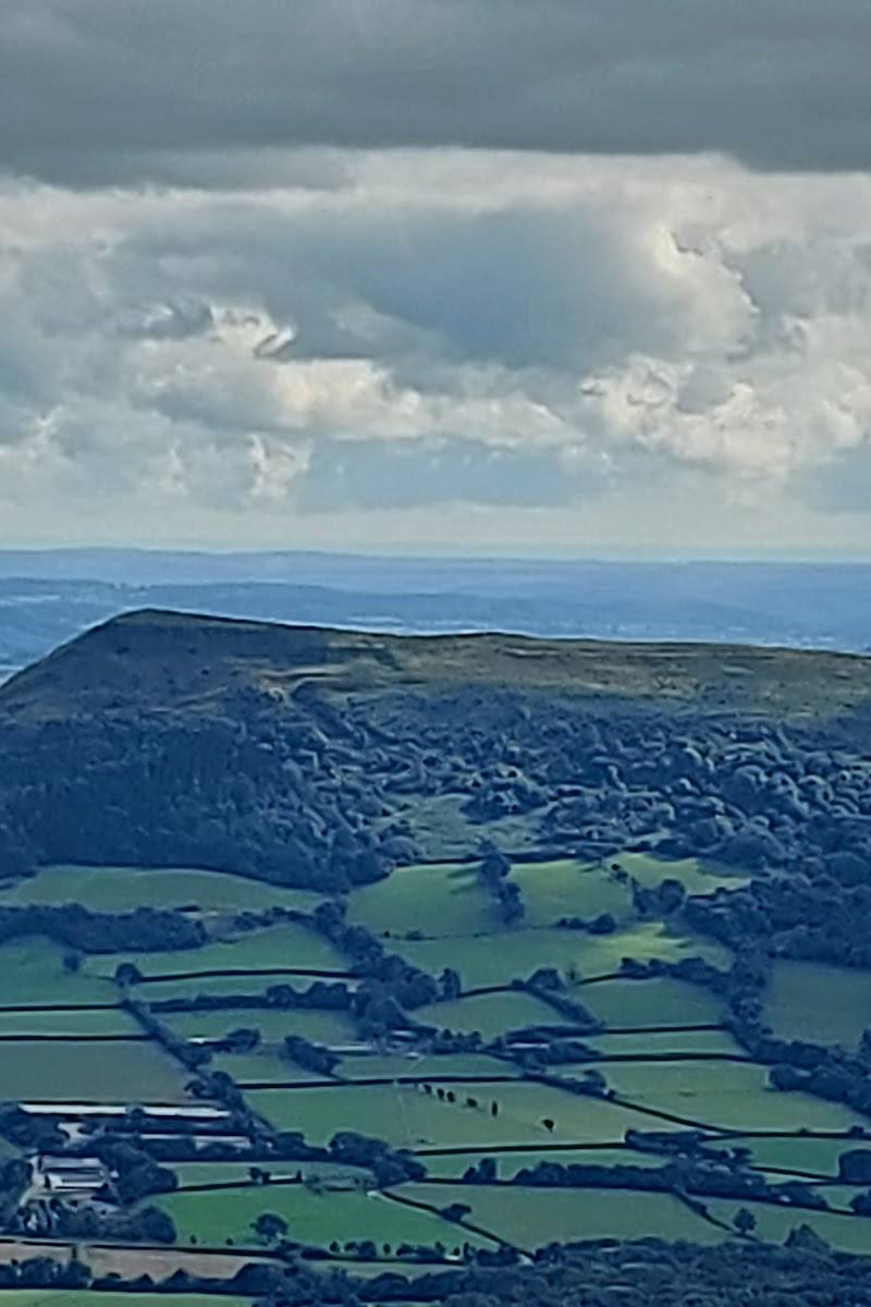
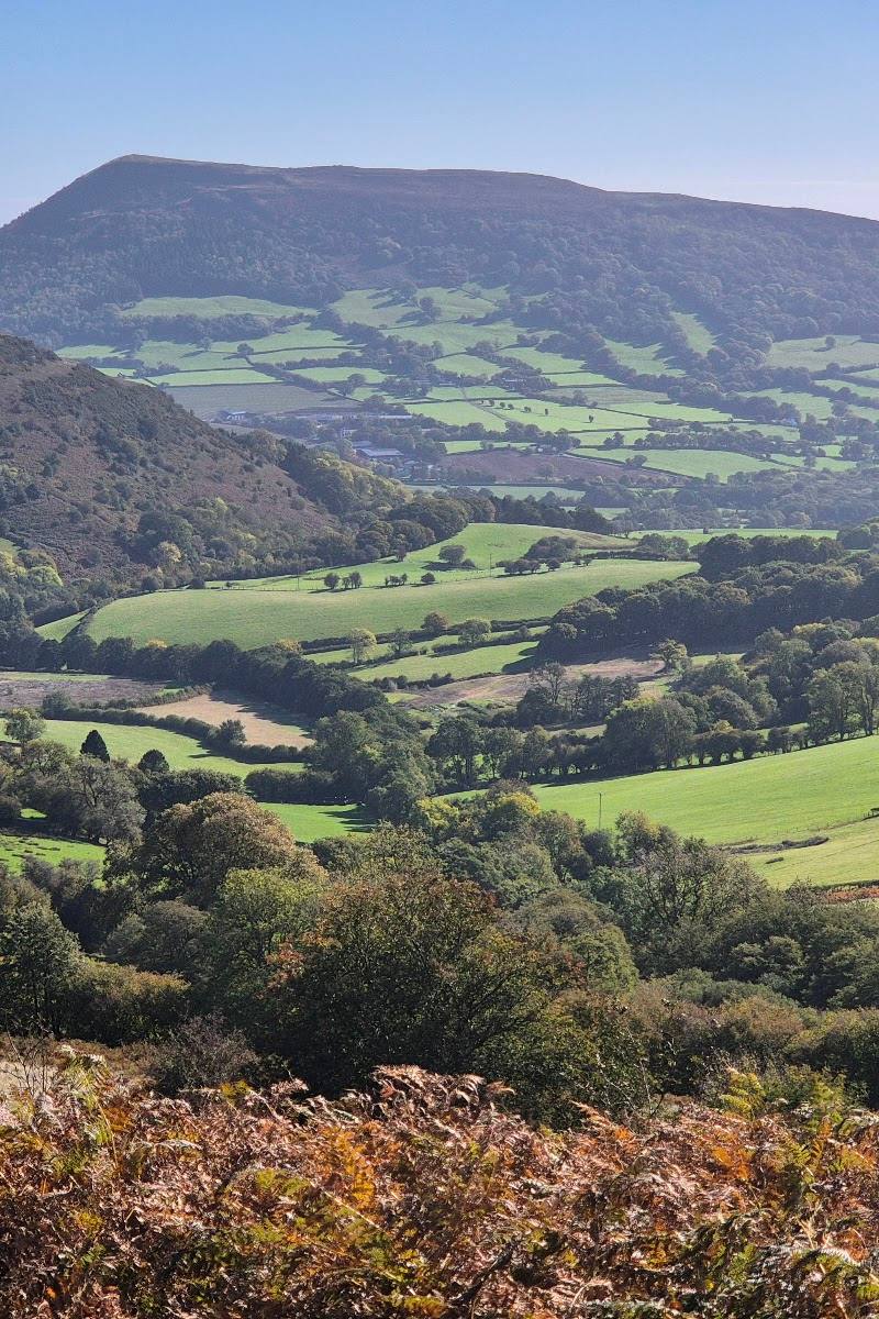
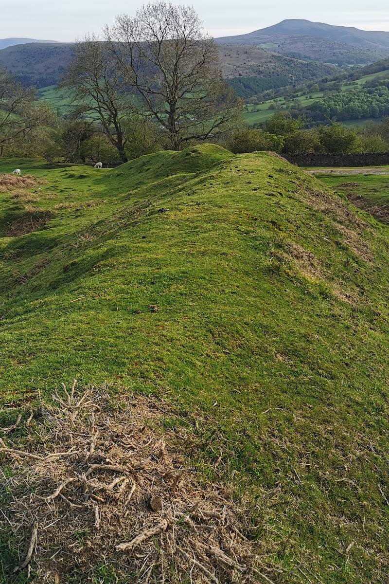
4.8On the south-eastern edge of the Black Mountains, Pen-Twyn Camp occupies a narrow neck of rough pasture between farmland and steep natural slopes. Its earthworks enclose two adjoining spaces, with banks and ditches doing much of the defensive work.
This is a compact archaeological landscape rather than a developed visitor attraction: the interest lies in reading its earthworks in their setting on the Black Mountains’ edge. The record is detailed, but access and on-site visitor arrangements remain unverified.
Atmospheric · Ancient-feeling
Find your way
Open mapOffa's Dyke Path, Llanvihangel Crucorney, near Abergavenny, NP7 7PD
Opening map…
Know this place a little better?
The experience
A short archaeological visit focused on the visible form and setting of the defended enclosure. The supplied record does not establish a visitor route, access arrangements or facilities, so check before setting out.
Things to do
Trace the two adjoining enclosures
The Coflein record describes a subrectangular enclosure adjoining a sub-oval area. If access permits, look for how these two spaces meet.
Notice how the terrain shapes the defences
The site record notes that the north-east side is naturally defended by steep slopes, unlike the other sides. Observe this contrast only from permitted access.
Find the south-east entrance in the site plan
Coflein records a south-east entrance leading from the subrectangular enclosure into the adjoining sub-oval area. Its precise visibility on the ground is not established.
Make a day of it
Quick escape · Check before visiting
Read the hillfort’s outline
- 01
Confirm access and the approach before travelling.
- 02
If access is available, observe the enclosure from permitted ground.
- 03
Look for the adjoining enclosures, the bank and ditch, and the naturally steep north-east side.
Verified history
Coflein records Pen-Twyn Camp (NPRN 94878) as a hillfort. The defended enclosure lies on a narrow neck of rough pasture moorland on the south-eastern margins of the Black Mountains. Its recorded plan comprises a subrectangular enclosure, approximately 140 by 70 metres, joined to a sub-oval area approximately 185 by 104 metres. A bank and ditch define the subrectangular enclosure, which has a south-east entrance into the adjoining area. The defences are multivallate except on the naturally defended north-east side. The supplied record does not give a precise construction date or establish details of occupation.
Hidden details
The natural gap in the defensive circuit — The north-east side relies on steep natural slopes rather than the multivallate defences described elsewhere. This contrast is a useful clue to how the enclosure works with the terrain.
Two enclosures, one connected plan — The hillfort is not recorded as a single simple enclosure: a smaller subrectangular space opens into a larger sub-oval one.
When to go
· No source-supported recommendation; check conditions and access before visiting.
The supplied sources do not identify seasonal highlights or access conditions.
Check local conditions before travelling. Terrain and exposure details for visitor access are not verified.
What to look for
- 01
Look for the two conjoining enclosures
- 02
the bank and ditch around the roughly subrectangular inner area
- 03
the south-east entrance
- 04
and the steep natural slopes on the north-east side, where the defences differ from the rest of the circuit.
The story
Archaeology
Best time to go
Check before visiting; no seasonal guidance is available in the supplied sources.
No best time is established by the supplied sources. Check access and conditions before visiting.
How long to spend
Check before visiting
Perfect for
History lovers · Walkers
Before you go
Address
Website
Listed hours
- Monday: Open 24 hours
- Tuesday: Open 24 hours
- Wednesday: Open 24 hours
- Thursday: Open 24 hours
- Friday: Open 24 hours
- Saturday: Open 24 hours
- Sunday: Open 24 hours
Check before visiting.
Google rating
Practical information
Opening & access
The site is recorded on Coflein, but public access and the route to it are not confirmed by the supplied evidence. Check before visiting; do not assume the Google Maps pin marks an entrance. Access arrangements are unconfirmed. Check before visiting; do not enter private land or restricted structures.
Check before visiting
Parking
Check before visiting; no parking information is verified.
Check before visiting
Toilets
Check before visiting
Check before visiting
Food & drink
Check before visiting
Check before visiting
Dogs
Check before visiting
Check before visiting
Accessibility
Check before visiting; paths, terrain and accessibility are not documented in the supplied sources.
Check before visiting
Cost
Check before visiting
Check before visiting
Water
Check before visiting
Check before visiting
Gallery
Place photographsKeep exploring
Around Pentwyn Iron Age Hill Fort
Within 50 km · approximate straight-line distances