Near Abergavenny, Monmouthshire, NP7 7LW
Sugar Loaf, Monmouthshire
route · Countryside walk
Place photograph
7.2
Wildland
Half day
Time
Check
Cost
Dramatic
Feel
Why it's Wildland
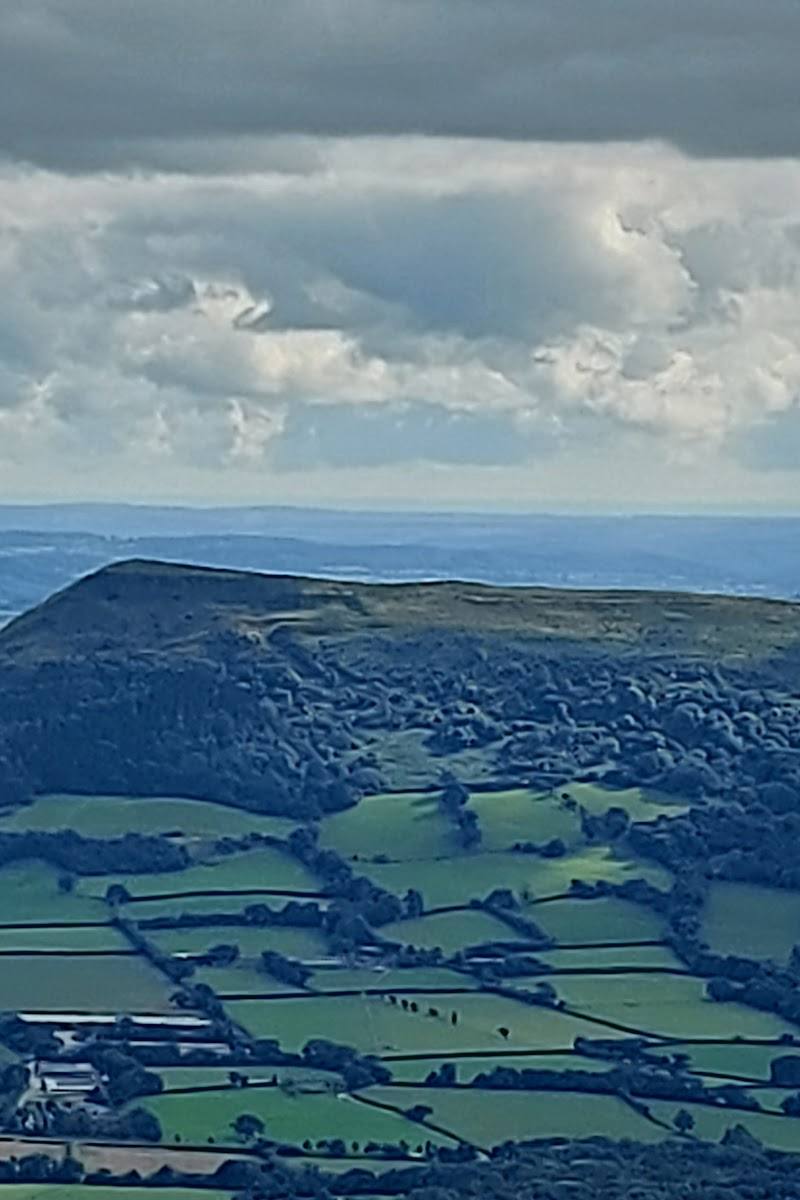
7.2Sugar Loaf’s distinctive summit rises above Abergavenny, with broad views across South Wales on a clear day. Despite its volcano-like outline, the supplied route source describes it as old red sandstone.
This is a proper mountain outing with a memorable conical summit and expansive views, not simply a viewpoint beside the road. The summit approach can be steep, uneven and rocky, so choose a route that suits your experience and check conditions before you go.
Dramatic · Big-sky · Wild
Find your way
Open mapNear Abergavenny, Monmouthshire, NP7 7LW
Opening map…
Know this place a little better?
The experience
Choose a route to the summit that matches your time and ability. The Abergavenny circular described by AllTrails is a demanding full-day option; a shorter summit outing may be possible, but confirm its start, distance and conditions before relying on it.
Things to do
Climb to the summit
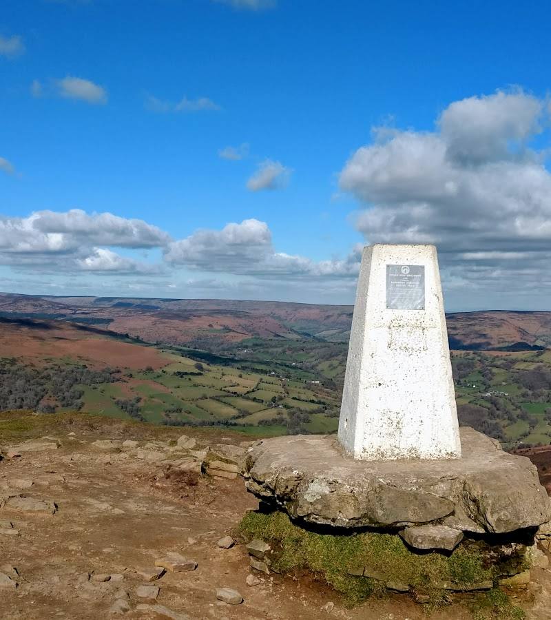
Take a verified walking route to Sugar Loaf’s 596 m summit. Expect a steep, uneven or rocky approach on some routes and check conditions before setting out.
Take in the summit views
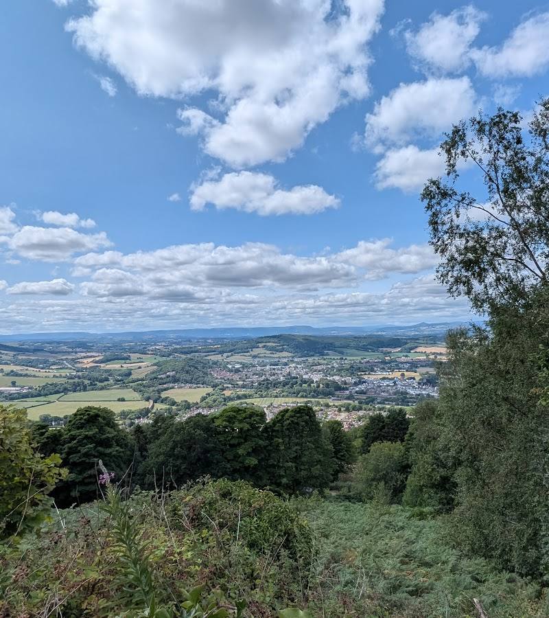
The summit is noted for panoramic views across South Wales; visibility will depend on conditions.
Watch the skies
The supplied circular-route description recommends looking out for birds soaring around the mountain.
Make a day of it
Quick escape · Check route and allow time appropriate to your chosen start point and conditions
Quick summit outing
- 01
Choose and verify a summit route before setting out; the supplied sources do not establish a specific short route’s distance or start point.
- 02
Climb to the summit, allowing for steep, uneven or rocky ground where present.
- 03
Pause for the views, then return by your verified route.
Half day · 7–7.5 hours
Abergavenny to Sugar Loaf circular
- 01
Follow the AllTrails Abergavenny-to-Sugar-Loaf circuit only after checking its current route details and start point.
- 02
Continue via the route’s described countryside, woodland and valley sections towards the summit.
- 03
Take care on steep, rocky and potentially overgrown sections, then follow the mapped return route.
Verified history
The supplied sources describe Sugar Loaf as a 596 m mountain near Abergavenny, formed of old red sandstone. They do not provide further verified historical detail.
Hidden details
A volcano-like outline, but sandstone beneath — The conical profile may suggest a volcano, but the supplied route source identifies the mountain’s rock as old red sandstone.
When to go
· Choose a clear, settled period for visibility; check the forecast before travelling.
The supplied research does not establish seasonal highlights or a best month.
Mountain conditions and visibility can change; check the forecast and route conditions before setting out. Rocky, steep sections are described on the supplied circular route.
The route
- ascent
- 2,752 ft for the AllTrails circular
- surface
- Steep, uneven and rocky sections; bracken may overgrow parts of the route seasonally
- distance
- 13.4 mi / 21.6 km for the AllTrails Abergavenny-to-Sugar-Loaf circular
- duration
- 7–7.5 hours for the AllTrails circular
- difficulty
- Hard for the AllTrails circular; Visit Monmouthshire lists a separate Sugarloaf Mountain Walk as moderate
- route shape
- Loop for the AllTrails circular
- start point
- The AllTrails route description begins in Abergavenny; confirm the exact start point and current route before setting out.
- parking start
- Check before visiting; supplied sources do not establish parking arrangements for this route.
- shorter alternative
- Visit Monmouthshire lists a separate moderate Sugarloaf Mountain Walk, but the supplied information does not give its distance, duration or precise start point; check the route guide before choosing it.
- Sugar Loaf summit at 596 m
- Panoramic views across South Wales
- Countryside, Craig woodland and valley sections on the AllTrails circular
What to look for
Notice the mountain’s conical profile from the approach, then look out from the summit across the surrounding hills and valleys. The supplied route account also describes birds of prey and other birds overhead.
Best time to go
Check current mountain and weather conditions before visiting; the supplied sources do not identify a best season.
Choose a clear, settled day for the best chance of far-reaching views. Check the mountain forecast and route conditions before departure.
How long to spend
Half day
Perfect for
Walkers · Photographers
Route at a glance
Duration
Half day
Terrain
Hills, Valley
Parking / start
Check before visiting; no parking details are established by the supplied sources.
Before you go
Address
Google rating
Practical information
Opening & access
A mountain walk to a 596 m summit. Abergavenny-to-summit routes are described by the supplied sources, but the start point, access arrangements and current conditions should be checked before setting out.
Check before visiting
Parking
Check before visiting; no parking details are established by the supplied sources.
Check before visiting
Toilets
Check before visiting
Check before visiting
Food & drink
Check before visiting
Check before visiting
Dogs
One supplied route description says dogs are welcome on that trail and should be kept on leads around grazing sheep. Check current local guidance and signage.
Check before visiting
Accessibility
The summit walk includes steep, uneven and rocky sections; it is not suitable for assuming step-free access. Check route conditions and choose an approach accordingly.
Check before visiting
Cost
Check before visiting
Check before visiting
Gallery
Place photographs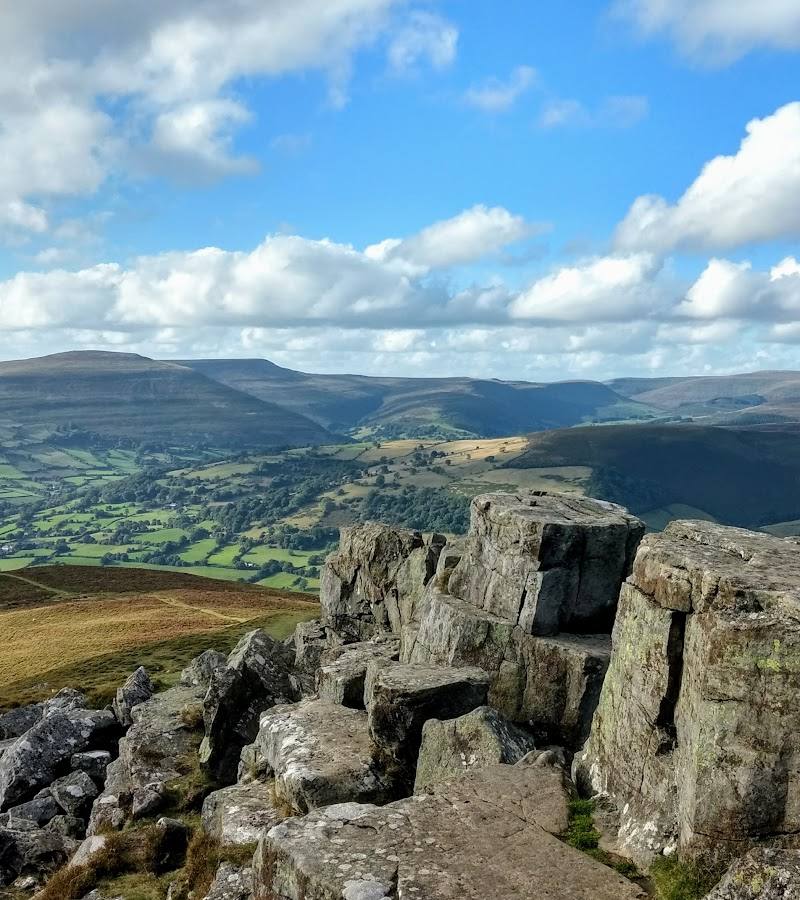
Keep exploring
Around Sugar Loaf, Monmouthshire
Within 50 km · approximate straight-line distances