North London, between Finsbury Park and Alexandra Palace
Parkland Walk
route · Woodland walk
Source image
5.3
Wildland
1–2 hours
Time
Check
Cost
Atmospheric
Feel
Why it's Wildland
5.3A former railway has become a green corridor through north London: follow its cuttings, bridges and surviving station features between Finsbury Park and Alexandra Palace.
Parkland Walk earns its place by making a genuinely useful nature escape out of the old railway line: a four-kilometre trail, volunteer-led wildlife work and Victorian railway remnants, all threaded through north London. Its appeal is a distinctive urban walk, rather than a remote wilderness experience.
Atmospheric · Peaceful
Find your way
Open mapNorth London, between Finsbury Park and Alexandra Palace
Opening map…
Know this place a little better?
The experience
Walk a linear former railway route through north London, looking out for railway structures and the volunteer-supported Wildlife Trail. Allow around 1.5–2 hours for the 6.4 km Finsbury Park–Alexandra Palace route described by AllTrails; route length figures vary between sources, and a current diversion is reported, so check access before going.
Things to do
Follow the former railway line
Walk the linear green route between Finsbury Park and Alexandra Palace, checking for current diversions before choosing your section.
About 1.5–2 hours for the AllTrails route
Explore the Wildlife Trail
Visit the trail associated with the reserve’s volunteer-supported biodiversity project and notice how conservation work shapes the site.
Look for railway traces
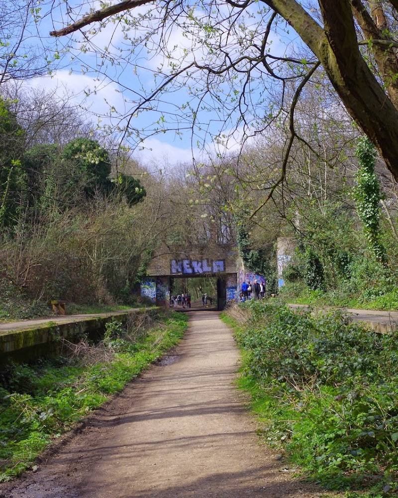
Notice the old bridges, cuttings and surviving platform features that reveal the route’s railway past.
Make a day of it
Quick escape · About 1–2 hours
Quick escape: walk a section of the old railway
- 01
Choose an accessible section of the Parkland Walk and follow the former railway alignment.
- 02
Pause to notice the bridges, cuttings and any surviving platform features along your chosen stretch.
- 03
Check the current access notice first, as a diversion has been reported between Crouch Hill and Blythwood Road.
Half day · About 2–3 hours, allowing time to pause
Make a half day of it: traverse the Parkland Walk
- 01
Walk the Finsbury Park–Alexandra Palace route described by AllTrails, allowing for its reported 6.4 km distance and 1.5–2 hour walking estimate.
- 02
Look out for the old railway structures and station platform remains, and take time to explore the Wildlife Trail.
- 03
Finish near the route’s end and use the official interactive map to check local services and your onward journey.
Verified history
The walk follows a former railway corridor. The Friends of the Parkland Walk state that the railway connecting Finsbury Park and Alexandra Palace opened in 1873. Wikipedia’s history records passenger services ending in 1954, the track being lifted in 1972, the walk opening in 1984 and its declaration as a local nature reserve in 1990. Railway features, including old platform remains, can still be seen along the route.
Hidden details
Former station platform — Keep an eye out for old platform remains along the former railway route; AllTrails identifies a station platform among its Victorian railway features.
Wildlife Trail — The Friends group highlights a Wildlife Trail linked to its biodiversity project and volunteer conservation work.
When to go
· A clear morning is a practical choice; no specific time-of-day wildlife advantage is verified.
The supplied sources do not establish a best wildlife season. Route conditions and temporary diversions are more important to check.
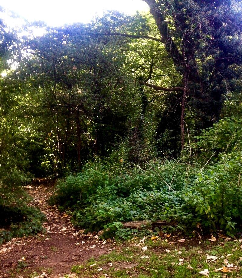
Some stretches can be muddy. Check current access information before visiting.
The route
- ascent
- 102 m gain according to AllTrails.
- surface
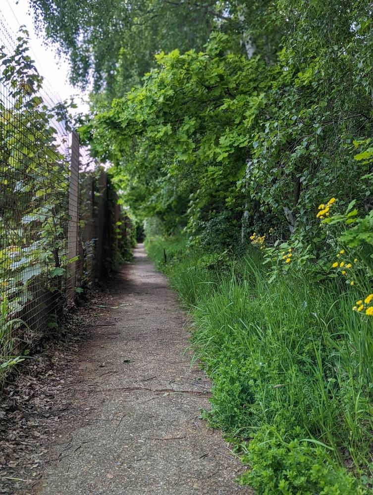
- A mix of natural, paved and gravel surfaces; some stretches may be muddy.
- distance
- 4 km according to the Friends of the Parkland Walk; AllTrails describes a 6.4 km Finsbury Park–Alexandra Palace route. Confirm the intended route and current diversion before setting out.
- duration
- AllTrails estimates 1.5–2 hours for its 6.4 km route.
- difficulty
- Easy according to AllTrails.
- route shape
- Point to point.
- start point
- Finsbury Park is one end of the route described by AllTrails. The supplied Florence Road pin is not verified as an entrance.
- parking start
- Check before visiting; no verified parking/start information supplied.
- shorter alternative
- Walk a section and return the same way; no shorter measured route is supplied.
- Former railway corridor
- Bridges and cuttings
- Surviving railway platform features
- Volunteer-supported Wildlife Trail
Worth pairing with
Local cafés and pubs along the route
AllTrails reports refreshment options in the local area along the route, but the supplied evidence does not establish specific venues or current opening details.
What to look for
- 01
Look for the old railway bridges, cuttings and platform remains, including the former Crouch End station platform
- 02
follow the Wildlife Trail for conservation and biodiversity interpretation.
The story
Railway and industrial heritage
Best time to go
All year; check for temporary diversions and expect muddy stretches after rain.
Choose a clear, quieter morning for a walk. No specific seasonal wildlife peak is established by the supplied evidence; check for diversions before travel.
How long to spend
1–2 hours
Perfect for
Walkers · Cyclists · Families · Dogs · History lovers
Route at a glance
Duration
1–2 hours
Terrain
Woodland, Urban historic
Parking / start
Check before visiting; no verified parking information supplied.
Before you go
Address
Phone
Website
Listed hours
- Monday: Open 24 hours
- Tuesday: Open 24 hours
- Wednesday: Open 24 hours
- Thursday: Open 24 hours
- Friday: Open 24 hours
- Saturday: Open 24 hours
- Sunday: Open 24 hours
Check before visiting.
Google rating
Practical information
Opening & access
A 4 km linear route along a former railway, managed by Haringey and Islington Councils. The Friends of the Parkland Walk report a diversion between Crouch Hill and Blythwood Road; check the latest access information before setting out. The supplied Florence Road coordinate is a main-place pin, not a verified entrance or parking point.
Check before visiting
Parking
Check before visiting; no verified parking information supplied.
Check before visiting
Toilets
Check before visiting.
Check before visiting
Food & drink
Check before visiting; local cafés and pubs are mentioned by route sources, but no specific venue is verified here.
Check before visiting
Dogs
A route source lists dogs on leash. Check current local signage and rules.
Check before visiting
Accessibility
Check current route conditions and access before visiting. The supplied sources describe natural, paved and gravel surfaces, occasional mud and a current diversion; step-free access is not verified.
Check before visiting
Cost
Check before visiting
Check before visiting
Gallery
Place photographsKeep exploring
Around Parkland Walk
Within 50 km · approximate straight-line distances