Sizergh Castle, near Kendal, Cumbria
Park End Moss Wetland Walk at Sizergh
route · Countryside walk
Place photograph
6.1
Wildland
Half day
Time
Check
Cost
Peaceful
Feel
Why it's Wildland
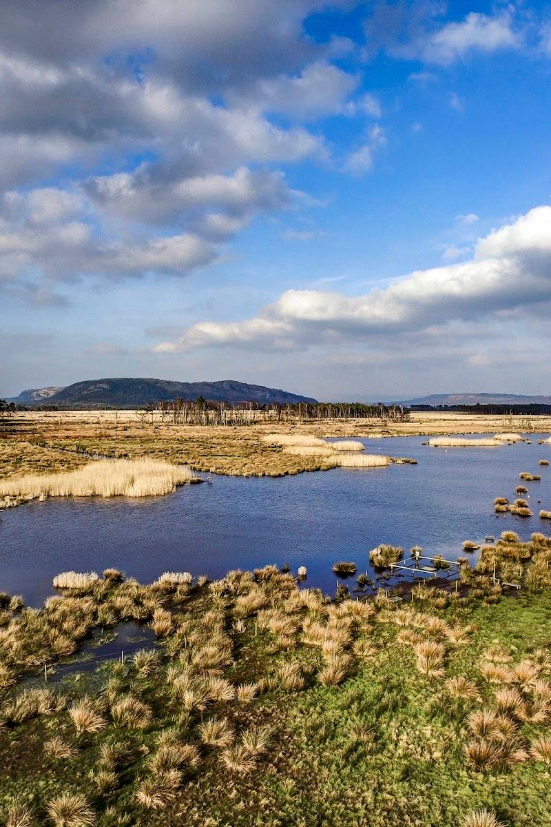
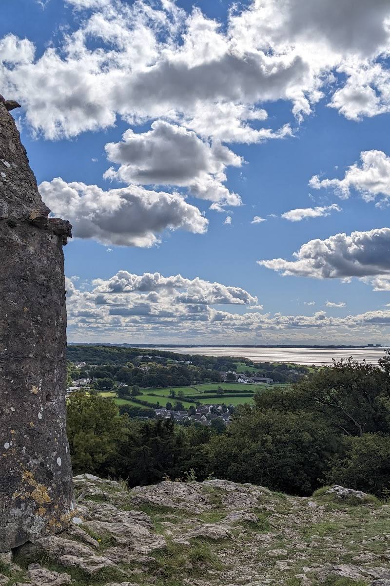
6.1From the old deer park and coppiced woodland, the walk reaches Park End Moss’s wetland and bird hide, then climbs to views across Morecambe Bay and towards the Lakeland fells.
This walk earns its place through variety rather than a single showpiece: historic parkland, managed woodland, a wildlife-rich wetland and far-reaching views are linked in one circular route. Its rough and sometimes steep paths make good footwear essential.
Peaceful · Atmospheric · Wild
Find your way
Open mapSizergh Castle, near Kendal, Cumbria
Opening map…
Know this place a little better?
The experience
Allow time for the full circular walk rather than treating the wetland as a quick stop. Notice the woodland’s coppice history, take the signed detour to the bird hide, and pause at the higher viewpoints. Paths can be muddy or uneven, so wear suitable footwear.
Things to do
Follow the circular wetland walk
Take the National Trust route from Sizergh Castle through historic parkland, woodland and wetland. The route is described as moderate, with steep, muddy or uneven sections.
About 3 hours (National Trust full-trail estimate)
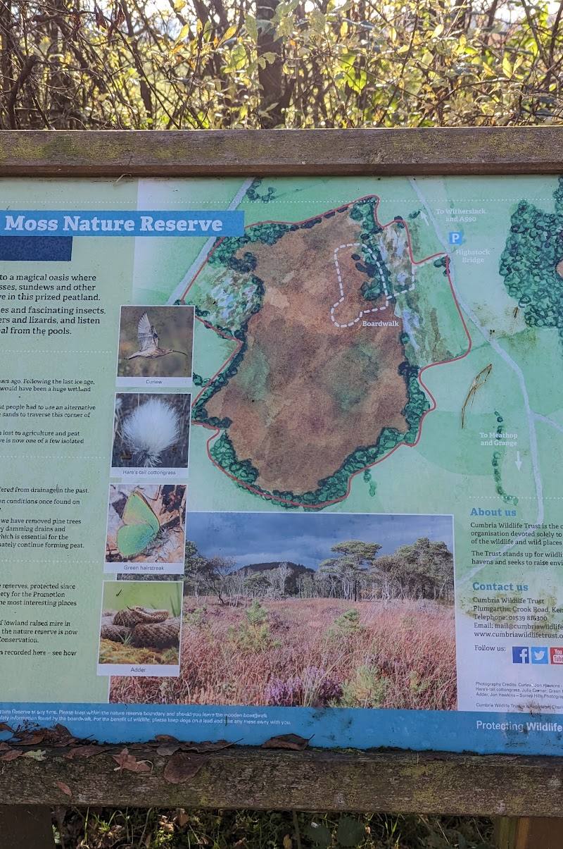
Visit the Park End Wetland hide
A signed detour from the route leads to the hide, where visitors can watch the wetland and its birdlife. Bring binoculars if you have them; sightings are not guaranteed.
Allow 15–30 minutes
Look for woodland management traces
In Brigsteer Park Wood, look for evidence of coppicing and old charcoal-burning platforms. The National Trust notes that coppicing opens the canopy and benefits woodland-floor plants and butterflies, including the silver-washed fritillary.
As you pass through the wood
Pause at the higher viewpoints
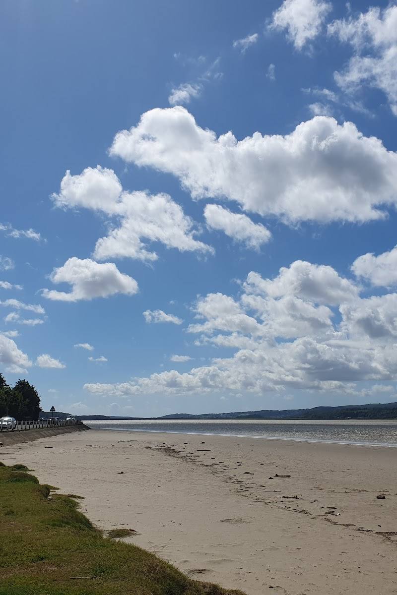
The route climbs above the wetland, with views back across it towards Morecambe Bay. A detour towards St John’s Church is described as offering views towards the Lakeland fells.
10–20 minutes
Make a day of it
Quick escape · About 1–2 hours; allow longer if following the full National Trust route
Quick Escape: woodland and wetland
- 01
Start from Sizergh Castle and follow the signed route across the estate.
- 02
Walk through Brigsteer Park Wood and look for evidence of coppicing and old charcoal-burning platforms.
- 03
Take the signed detour to the Park End Wetland hide, then return by the route you came.
Half day · Around 3 hours for the National Trust’s full trail; allow extra time for stops
Make a half day of it: the full Sizergh circular
- 01
Set out from Sizergh Castle and follow the circular route through the historic parkland and Brigsteer Park Wood.
- 02
Pause to explore the wetland hide and watch for birds.
- 03
Continue over the higher ground for views across the wetland towards Morecambe Bay.
- 04
Return to Sizergh Castle; its café and facilities are listed by the National Trust, but check current opening times.
Verified history
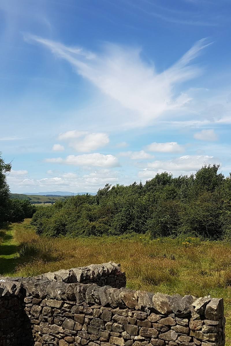
The route crosses Flashbank, described by the National Trust as an old deer park dating from around 1700. Brigsteer Park Wood has a long history of coppice management, with evidence of old charcoal-burning platforms. The walk also follows Ashbank Lane, identified as an old drover’s track.
Hidden details
Old charcoal-burning platforms — Look for the remains of charcoal-burning platforms among the woodland features in Brigsteer Park Wood; the National Trust notes evidence of them throughout the wood.
The coppice and its butterfly habitat — The National Trust explains that coppicing opens the canopy to sunlight, helping woodland plants and flowers and creating habitat for butterflies such as the silver-washed fritillary.
When to go
May · June · July · August · Choose a clear, settled day for the viewpoints; quieter times may suit birdwatching, but check current conditions and access.
Late spring and summer are suggested for woodland flowers and butterfly activity. The wetland is noted for its birdlife, but no particular peak season is confirmed by the supplied sources.
Paths may be steep, muddy or uneven, and surfaces can be slippery or loose. Wear suitable footwear and check the forecast and route conditions before setting out.
The route
- surface
- Some paths are steep, muddy or uneven; surfaces may be slippery or loose. Other surface breakdowns differ between route sources.
- distance
- 2.8 miles (4.48 km), according to the National Trust
- duration
- 3 hours, according to the National Trust
- difficulty
- Moderate
- waymarking
- Follow the National Trust route and its stage directions; check the current trail information before setting out.
- route shape
- Circular
- start point
- Sizergh Castle, near Kendal, Cumbria, LA8 8DZ
- parking start
- Sizergh Castle car park, around 250 yards from the main entrance; pay and display, free for National Trust members.
- shorter alternative
- Visit the wetland hide as a signed detour from the route and return the same way; check current access and route conditions before setting out.
- Historic parkland and former deer park
- Coppiced Brigsteer Park Wood and old charcoal-burning platforms
- Park End Wetland hide
- Views towards Morecambe Bay and the Lakeland fells
Worth pairing with
Sizergh Castle and Gardens
The walk starts at Sizergh Castle, where the National Trust lists a café and visitor facilities. Check opening times and any access or admission requirements before planning a visit.
St John’s Church
The route description mentions a detour towards St John’s Church, with a toposcope, benches and views towards the Lakeland fells. Check access before visiting.
What to look for
Look for old charcoal-burning platforms in Brigsteer Park Wood, the wetland from its bird hide, the large sweet chestnuts beside Ashbank Lane, and views towards Morecambe Bay and the Lakeland fells.
The story
Historic parkland, former deer park, coppice management and charcoal-burning platforms
Best time to go
Late spring to summer for woodland flowers and butterfly activity; the wetland and bird hide can reward visits in other seasons too.
Late spring and summer bring woodland-floor flowers and active butterflies; go in good light for views from the higher sections. Check the forecast and path conditions, especially after rain.
How long to spend
Half day
Perfect for
Walkers · Wildlife lovers · Photographers · Families · Dogs
Route at a glance
Duration
Half day
Terrain
Woodland, Wetland
Parking / start
Sizergh Castle car park, around 250 yards from the main entrance; pay and display, free for National Trust members. Check current arrangements before travelling.
Practical information
Opening & access
A National Trust walk starting at Sizergh Castle. The route includes steep, muddy or uneven sections and is not wheelchair- or pram-friendly. Check current access and conditions before setting out.
Check before visiting
Parking
Sizergh Castle car park, around 250 yards from the main entrance; pay and display, free for National Trust members. Check current arrangements before travelling.
Check before visiting
Toilets
Toilets and baby-changing facilities at Sizergh Castle; check opening and access before visiting.
Check before visiting
Food & drink
Café at Sizergh Castle; check opening times before visiting.
Check before visiting
Dogs
Dogs are welcome on a lead. Livestock graze in fields along the route.
Accessibility
Not wheelchair- or pram-friendly. Some paths are steep, muddy or uneven, and may be slippery or loose. Check current conditions before visiting.
Check before visiting
Cost
Check before visiting
Check before visiting
Water
Wetland; spring and beck along the route
Gallery
Place photographsKeep exploring
Around Park End Moss Wetland Walk at Sizergh
Within 50 km · approximate straight-line distances