North London, from the M25 towards Stoke Newington
New River Path (London South Section)
route · Waterside walk
Source image
5.3
Wildland
Half day
Time
Check
Cost
Atmospheric
Feel
Why it's Wildland
5.3Built between 1609 and 1613, the New River is an engineered aqueduct, not a natural river. This north London walk traces its changing course through urban streets and greener waterside stretches, following part of a water-supply system that still serves the capital.
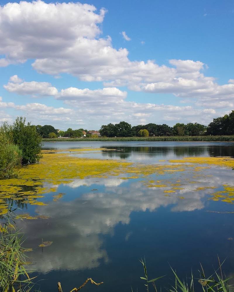
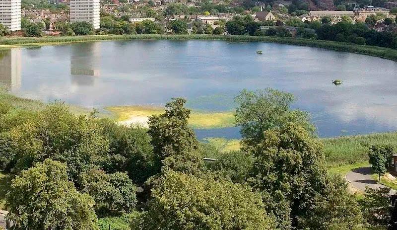
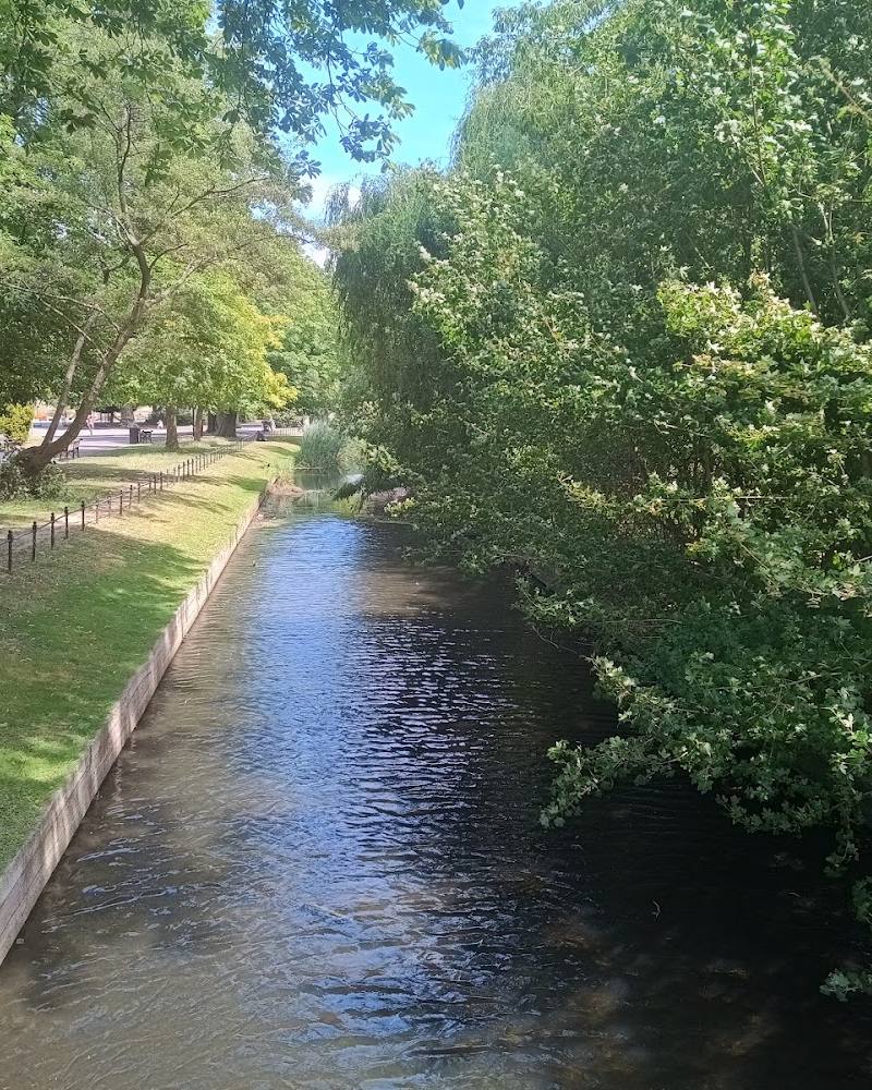
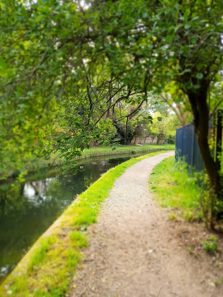
A distinctive urban waterside walk with a substantial story beneath its name: the New River is a 17th-century aqueduct that still carries water for London. The appeal is its shifting route between enclosed neighbourhoods and open stretches, plus the visible traces of a carefully engineered watercourse. It is not a continuous rural towpath, and closures or diversions can affect the experience.
Atmospheric · Quirky
Find your way
Open mapNorth London, from the M25 towards Stoke Newington
Opening map…
Know this place a little better?
The experience
Follow a section of the New River Path to see how a historic water-supply channel threads through North London. Expect a mixture of waterside path and urban route, not uninterrupted countryside. The source describes the London Section from the M25 to Stoke Newington as about 18 km (11 miles) and 5–7 hours; confirm the precise section and current access before setting out.
Things to do
Follow the New River Path
Walk a selected section of the waymarked route, which follows the historic water channel where possible and uses some alternative urban sections. Confirm the route and temporary closures before setting out.
Varies by section; the London Section is described as 18 km (11 miles), taking 5–7 hours.
Read the landscape as water infrastructure
Notice where the path stays beside the water and where the route follows a straightened, piped or otherwise altered section. The New River was built to bring water from Hertfordshire to North London.
Look for the New River’s 17th-century story
As you walk, keep in mind that the aqueduct was completed in 1613 under the direction of Hugh Myddelton, after earlier work associated with Edmund Colthurst. The route guide describes its continuing role in London’s water supply.
Make a day of it
Quick escape · 1–2 hours
A short waterside taste
- 01
Choose a current, open section of the New River Path in North London and confirm its start and finish before travelling.
- 02
Follow the signed walking path for a manageable out-and-back or point-to-point section, keeping to the path and checking signs at road crossings.
- 03
Pause to consider the channel as a piece of working water infrastructure rather than a natural river.
Half day · 5–7 hours
Walk the London section
- 01
Plan the London Section from the M25 towards Stoke Newington, checking the current route and closures before departure.
- 02
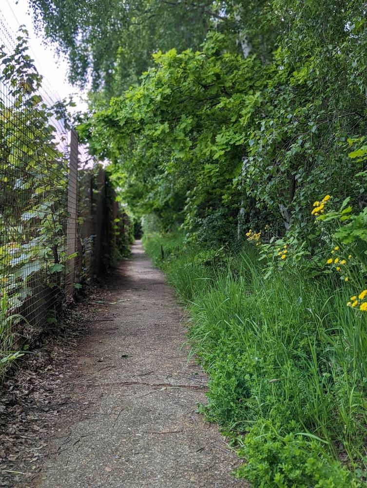
Follow the waymarked path, allowing for urban stretches and places where the route diverges from the watercourse.
- 03
Finish at Stoke Newington, the endpoint given for the London Section in the route guide.
Verified history
The New River was built as an aqueduct to bring water from Hertfordshire to North London. Edmund Colthurst began the project, but work stalled for lack of funds. Hugh Myddelton took on the construction in 1609, with support from King James I, and the watercourse was completed in 1613. Its route was engineered to follow the Lee Valley contours with a very slight fall. The course has since been altered, shortened and partly straightened or piped, while the waterway remains part of London’s water-supply system.
Hidden details
A river by name, an aqueduct by design — The New River is neither new nor a natural river: it is a man-made water-supply aqueduct. The route’s changing alignment reflects later straightening, piping and other alterations.
A remarkably gentle gradient — The route guide says the original 62 km course fell by only 5.8 metres, a carefully controlled gradient that allowed water to travel towards London.
When to go
· No source-backed preferred time of day is available; check for current closures before setting out.
The supplied sources do not establish a best season.
Check current ground and route conditions before walking. The route source warns that operational work may temporarily close sections.
The route
- ascent
- Not stated by the route guide.
- stiles
- Not stated by the route guide.
- surface
- The route includes a grassed riverside path and some hard-surface sections; urban sections also follow streets or paths away from the water.
- distance
- 18 km (11 miles) for the London Section, from the M25 to Stoke Newington; the exact segment represented by the listing pin is not verified.
- duration
- 5–7 hours for the London Section.
- difficulty
- Not stated by the route guide.
- waymarking
- The route guide says the path is waymarked throughout with New River Path signs.
- route shape
- Point-to-point London Section; exact start and finish should be checked against the current route guide.
- start point
- The London Section begins at the M25 and ends at the ‘Castle’, Stoke Newington, according to the route guide. The supplied map pin is not confirmed as its start.
- parking start
- Check before visiting; no verified parking location or start-point parking details are supplied.
- shorter alternative
- Choose a currently open local section for a short out-and-back walk; no specific shorter circuit is verified.
- A 17th-century water-supply aqueduct completed in 1613.
- A route that shifts between waterside stretches and urban corridors.
- The London Section endpoint at Stoke Newington.
Worth pairing with
Clissold Park
A worthwhile green-space pairing on the Stoke Newington to Islington heritage section, which AllTrails describes as passing through the park. Check current access and route details before visiting.
New River Head
The heritage section is described as ending at New River Head, where the route guide says there is a visitor information point. Verify opening or access details before planning around it.
What to look for
- 01
Look for the contrast between open stretches of water and built-up sections where the route leaves the channel
- 02
notice how the path follows the historic watercourse where possible. The New River was completed in 1613 and remains part of London’s water-supply system.
The story
Industry
Best time to go
Check current path conditions before visiting; no season-specific recommendation is established by the supplied sources.
No particular season or time of day is established by the supplied sources. Check for operational closures before visiting, as sections may close temporarily.
How long to spend
Half day
Perfect for
Walkers · History lovers
Route at a glance
Duration
Half day
Terrain
Riverside, Urban historic
Parking / start
Check before visiting; no route-specific parking information is verified.
Before you go
Address
Website
Listed hours
- Monday: Open 24 hours
- Tuesday: Open 24 hours
- Wednesday: Open 24 hours
- Thursday: Open 24 hours
- Friday: Open 24 hours
- Saturday: Open 24 hours
- Sunday: Open 24 hours
Check before visiting.
Google rating
Practical information
Opening & access
A waymarked walking path follows the New River where possible, with sections through urban areas and occasional diversions from the watercourse. Thames Water may temporarily close sections for operational work; check the current route before setting out and follow posted safety notices. The route source says to keep to the path. No swimming, boating, fishing or cycling.
Check before visiting
Parking
Check before visiting; no route-specific parking information is verified.
Check before visiting
Toilets
Check before visiting
Check before visiting
Food & drink
Check before visiting; the route passes through urban areas, but no particular food stop is verified here.
Check before visiting
Dogs
The route source asks walkers to keep dogs on leads and clean up after them.
Accessibility
The route source says the grassed riverside path is for walkers, with a few hard-surface sections accessible to wheelchair users. This does not establish that the whole route is wheelchair accessible; check the specific section and current conditions before travelling.
Check before visiting
Cost
Check before visiting
Check before visiting
Water
River
Gallery
Place photographsKeep exploring
Around New River Path (London South Section)
Within 50 km · approximate straight-line distances