50 Oughtagh Road, Killaloo, Londonderry, BT47 3TR, Northern Ireland
Ness Country Park
Forest recreation landscape
Place photograph
6.4
Wildland
1–2 hours, Half day
Time
Free
Cost
Peaceful
Feel
Why it's Wildland
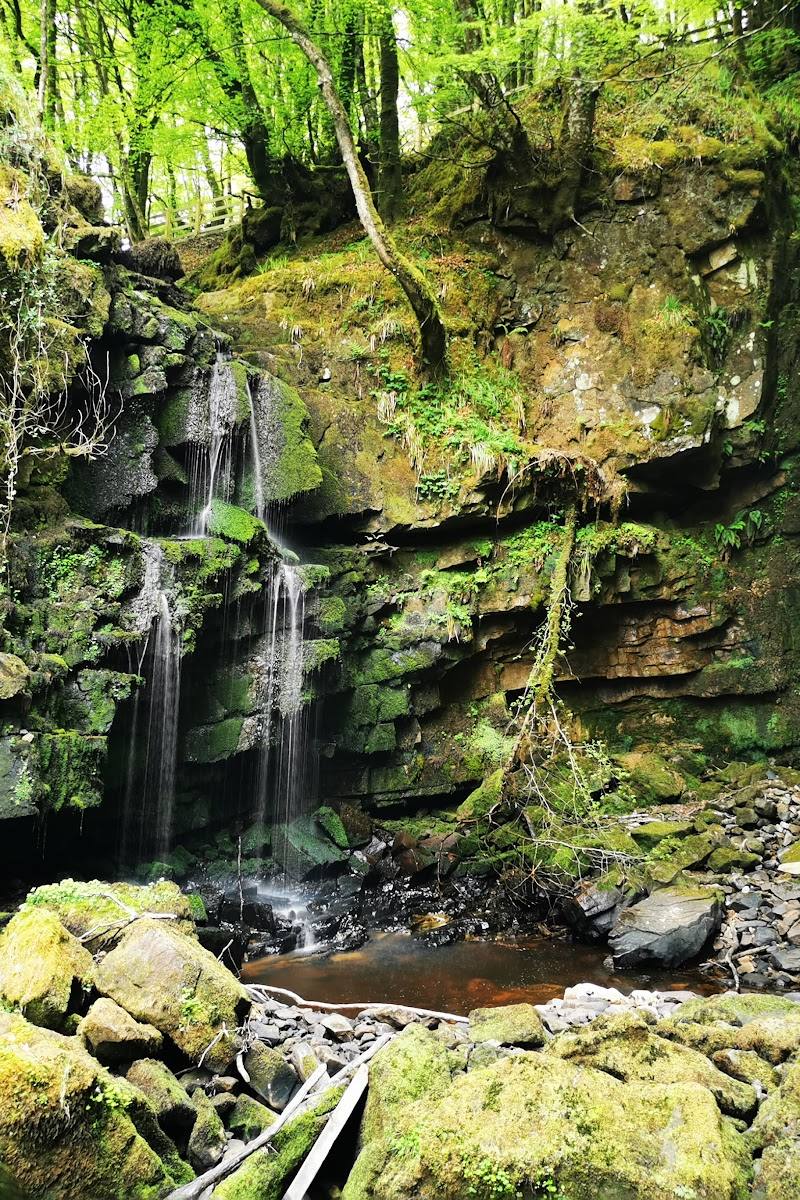
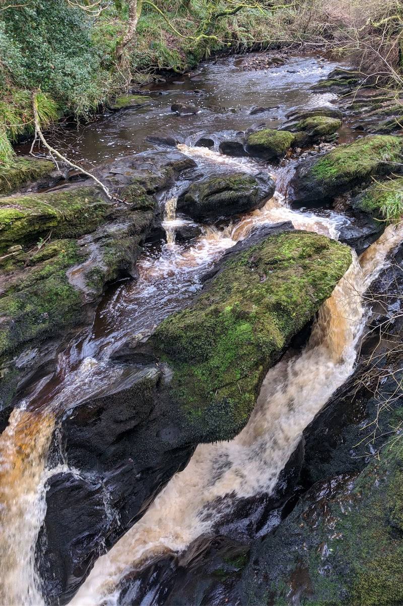
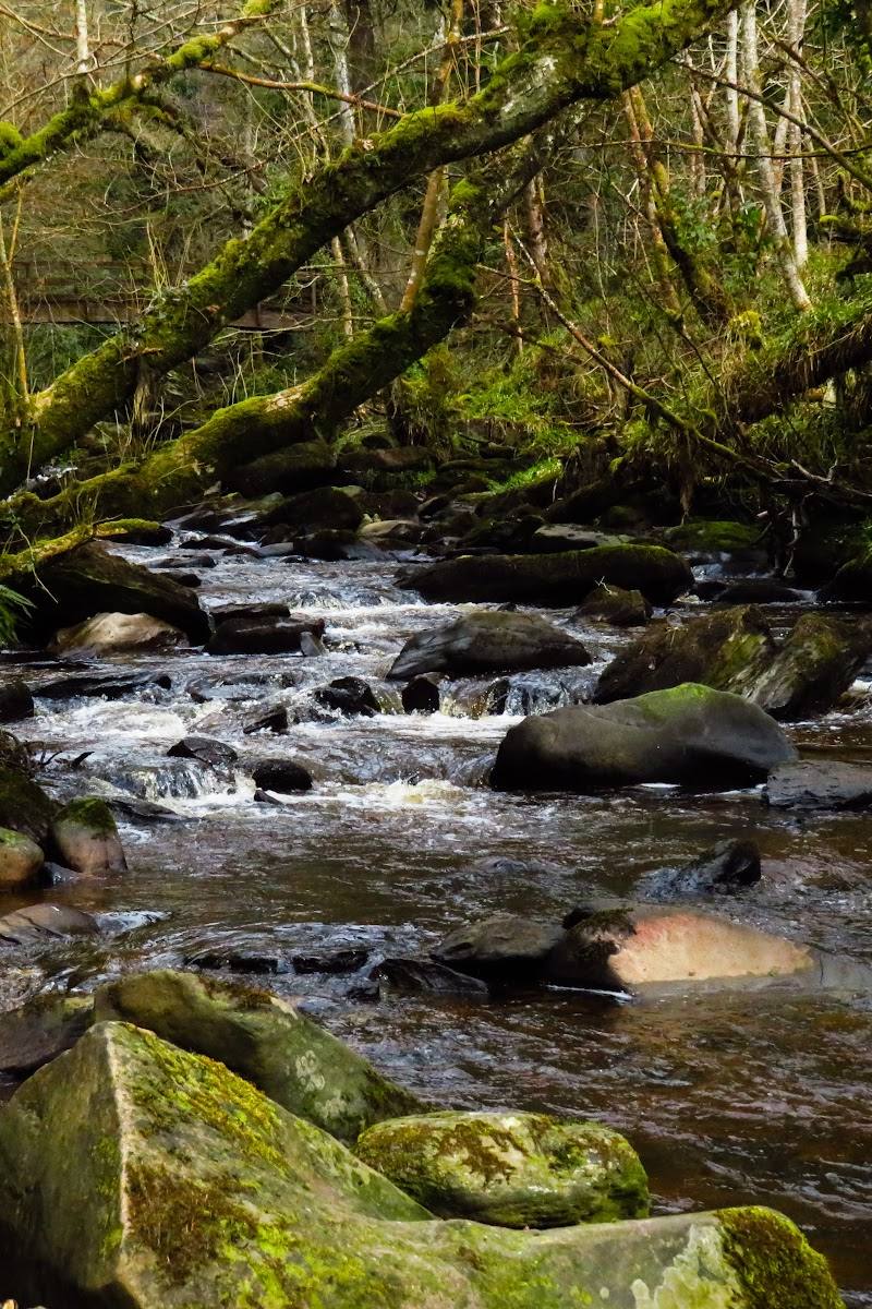
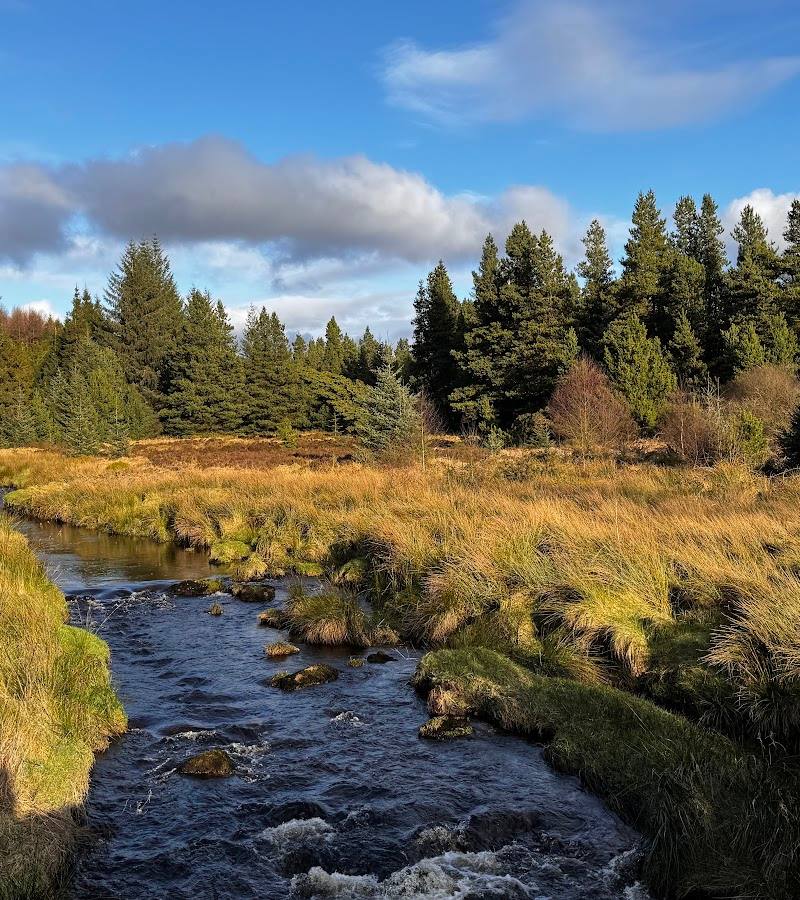
6.4At Ness, the Burntollet River cuts through rock to form a waterfall, gorges, portholes and rapids. The surrounding 55 hectares bring together mixed woodland, open parkland, meadows and more than 7 km of woodland and riverside walks.
The appeal here is more than a waterfall: the Burntollet’s rocky gorge runs through a substantial patchwork of woodland, riverbank and open meadow, with enough walking to explore beyond the main spectacle.
Peaceful · Wild
Find your way
Open map50 Oughtagh Road, Killaloo, Londonderry, BT47 3TR, Northern Ireland
Opening map…
Know this place a little better?
The experience
Explore the Burntollet River’s waterfall, gorges and rapids, then choose from woodland, riverside and meadow walks. The park also has wildlife ponds, wildflower meadows and a visitor centre with an exhibition on woodland biodiversity.
Things to do
Follow the waterfall walk
Explore the park’s waterfall walk and look for the Burntollet River’s waterfall, gorge, portholes and rapids.
Choose a woodland or riverside trail
Walk part of the more than 7 km of woodland and riverside routes that cross the park on both sides of the Burntollet River.
Take the meadow walk
The source describes an easy-access meadow walk for less able visitors. Check the route’s current condition and suitability before setting out.
Look around the wildlife ponds and wildflower meadows
Make time for the park’s wildlife ponds and meadows alongside the woodland and river walks.
Explore the woodland biodiversity exhibition
The visitor centre has an exhibition about woodland biodiversity. Check whether it is open before planning a visit around it.
Make a day of it
Quick escape · 1–2 hours
Waterfall and riverside escape
- 01
Choose a woodland or riverside walk.
- 02
Follow the waterfall walk to see the Burntollet River’s waterfall, gorges, portholes and rapids.
- 03
Return by a park path; check current trail conditions before setting out.
Half day · Half day
Woodland, river and meadow half-day
- 01
Explore a section of the woodland and riverside walks.
- 02
Allow time for the waterfall and the Burntollet’s rocky features.
- 03
Take the easy-access meadow walk if it suits your needs.
- 04
Pause at the wildlife ponds or wildflower meadows, and visit the woodland biodiversity exhibition if open.
Verified history
The Burntollet’s waterfall and rocky river features have a glacial origin, according to OutmoreNI: after the last ice age, deposits blocked the river’s former course, and the river eroded a new channel through the rock. The account describes Ness Wood as a remnant of extensive natural oakwoods. It also says the name Ness relates to “an las”, meaning waterfall.
Hidden details
Purple Hairstreak butterflies — OutmoreNI identifies the park as notable for Purple Hairstreak butterflies, described as unusual in Northern Ireland.
Glacially shaped river features — Look for the waterfall, gorges, portholes and rapids formed as the Burntollet River cut a new channel through rock after glacial deposits altered its course.
When to go
· Not specified in the supplied sources.
The supplied sources describe walks, woodland, meadows and river features but do not establish a particular best season.
Check current weather and trail conditions before visiting, especially for riverside and waterfall walks.
The route
- distance
- Over 7 km of walks across the park; individual route distances not specified.
- waymarking
- Signage is listed among the facilities; route waymarking details are not provided.
- start point
- Ness Country Park; exact trail start point not specified.
- parking start
- Parking and accessible parking are listed by OutmoreNI. The park is signposted from the A6 via Oughtagh Road.
- shorter alternative
- The easy-access meadow walk is described as an option for less able visitors; its distance is not specified.
- Burntollet River waterfall
- Gorges, portholes and rapids
- Mixed woodland and parkland
- Wildlife ponds and wildflower meadows
What to look for
Look for the Burntollet River’s gorges, portholes and rapids, as well as Purple Hairstreak butterflies, wildlife ponds and the park’s mix of tree species. The visitor centre has an exhibition on woodland biodiversity.
Best time to go
Spring to autumn for woodland and meadow walks; the waterfall and river are central features in any season. Check conditions before setting out.
Choose a clear day for the riverside paths and waterfall walk. The available sources do not specify a peak season or best time of day.
How long to spend
1–2 hours, Half day
Perfect for
Families · Walkers · Wildlife lovers · Photographers
Before you go
Address
Phone
Website
Listed hours
- Monday: Open 24 hours
- Tuesday: Open 24 hours
- Wednesday: Open 24 hours
- Thursday: Open 24 hours
- Friday: Open 24 hours
- Saturday: Open 24 hours
- Sunday: Open 24 hours
Check before visiting.
Google rating
Practical information
Opening & access
A country park with walks on both sides of the Burntollet River. The source lists free admission and says the park is signposted from the A6 via Oughtagh Road. Check current access and conditions before visiting.
Check before visiting
Parking
Parking and accessible parking are listed by OutmoreNI; check current arrangements before travelling.
Check before visiting
Toilets
Toilets are listed by OutmoreNI; check availability before visiting.
Check before visiting
Food & drink
Check before visiting.
Check before visiting
Dogs
Check before visiting.
Check before visiting
Accessibility
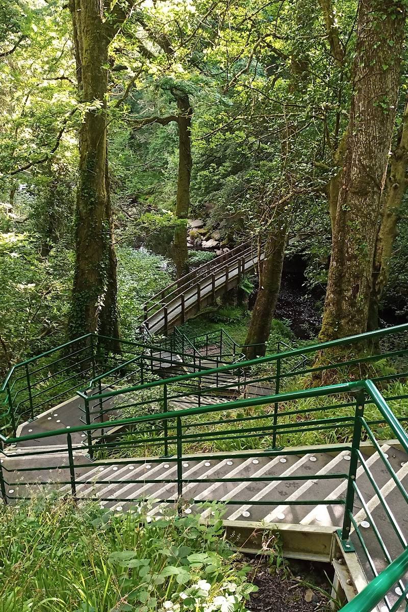
The source row lists a wheelchair-accessible car park and entrance. OutmoreNI describes an easy-access meadow walk for less able visitors. This does not confirm that every trail is accessible; check route conditions before visiting.
Check before visiting
Cost
Free
Water
River, Waterfall
Gallery
Place photographsKeep exploring
Around Ness Country Park
Within 50 km · approximate straight-line distances
 Place photograph6.4
Davagh Forest
Davagh Road, County Tyrone, Northern Ireland, near Cookstown
31.7 km away
 Place photograph6.8
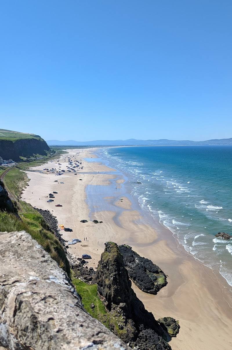
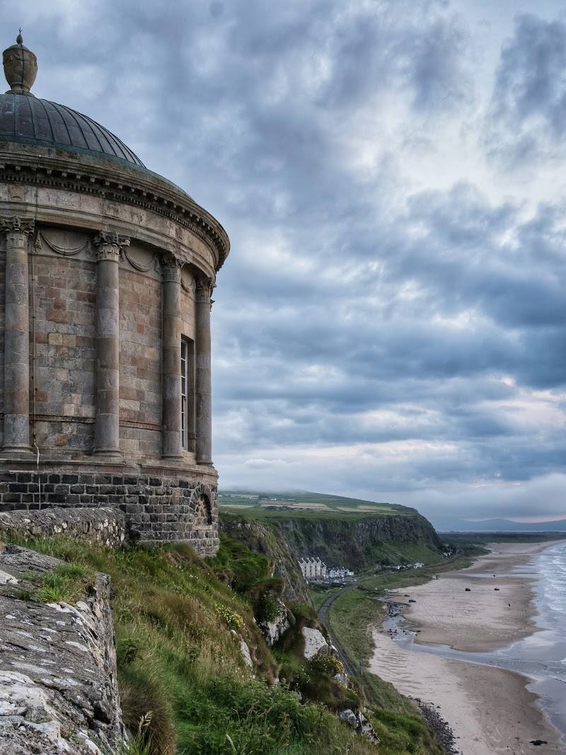
Mussenden Temple
Downhill Demesne, near Castlerock, County Londonderry, Northern Ireland
34.3 km away