Davagh Road, County Tyrone, Northern Ireland, near Cookstown
Davagh Forest
Forest recreation landscape
Place photograph
6.4
Wildland
1–2 hours to half day
Time
Free
Cost
Peaceful
Feel
Why it's Wildland
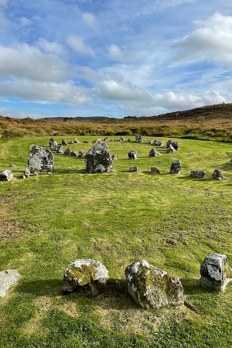
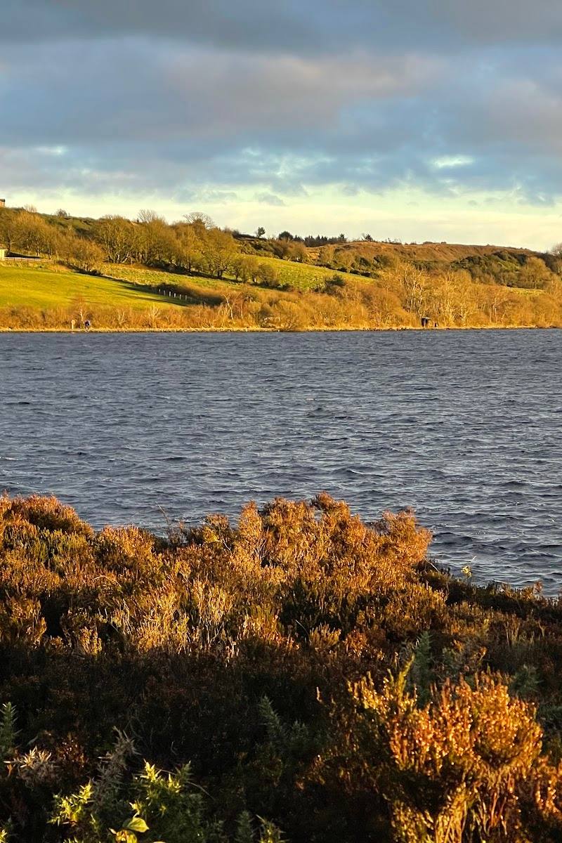
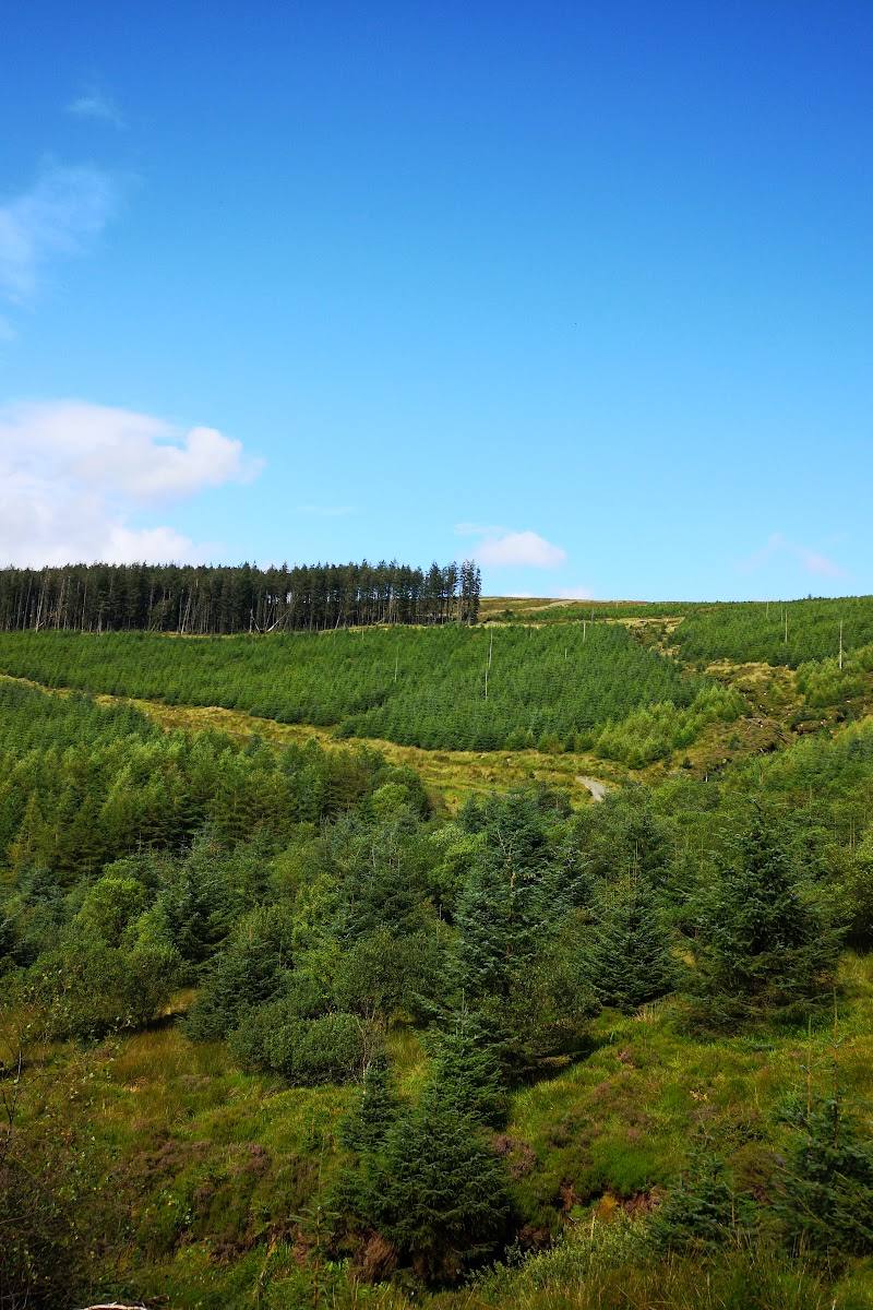
6.4In the rolling Sperrin foothills, forest trails lead past Davagh Water and up towards open views from Beeleevnamore Mountain. The area also links modern dark-sky exploration with the ancient Beaghmore Stone Circles.
Davagh is more than a plantation to pass through: a riverside walking circuit, graded mountain-bike trails and a route linking the OM Observatory with the Beaghmore Stone Circles give this remote-feeling forest real range. The draw is the combination of outdoor exploration and a big-sky setting in the Sperrins.
Peaceful · Wild · Big-sky
Find your way
Open mapDavagh Road, County Tyrone, Northern Ireland, near Cookstown
Opening map…
Know this place a little better?
The experience
Choose a short, waymarked riverside circuit, explore the wider forest on foot or by mountain bike, or follow the Solar Walk linking the OM Observatory with Beaghmore Stone Circles. Trail conditions, facilities and access details can change, so check before travelling.
Things to do
Walk the Davagh Water circuit
Follow the black waymarkers from the upper car park beside Davagh Water, cross the footbridge and return on the forest road.
About 1–2 hours
Ride the mountain-bike trails
Mountain Bike NI lists green, blue and red trails, plus a pump track. Match the route to your experience and check current trail information.
Walk towards Beeleevnamore Mountain
A listed circular route crosses Davagh Forest and visits Beeleevnamore Mountain, with views over the forest from higher ground.
About 2.5–3 hours for the listed 6.3-mile loop
Follow the Solar Walk
The described 3.4 km linear route connects the OM Observatory with Beaghmore Stone Circles and includes a boardwalk over peatland. Check current access and route details before visiting.
Look for a clear-sky stargazing opportunity
Davagh Forest is described in the supplied trail source as home to an International Dark Sky Park and OM Observatory. Check current observatory arrangements and weather before planning an evening visit.
Make a day of it
Quick escape · About 1–2 hours
Quick Escape: Riverside forest loop
- 01
Start from the upper car park.
- 02
Follow the black waymarker arrows beside Davagh Water.
- 03
Cross the footbridge and climb gradually to the forest road.
- 04
Return to the car park along the surfaced forest road.
Half day · About 2.5–3 hours for the listed Davagh Forest Loop, before stops
Make a Half Day of It: Forest trails and mountain views
- 01
Choose a walking route suited to your time and ability, or bring a bike for the graded forest trails.
- 02
For a longer walk, consider the listed loop via Beeleevnamore Mountain; the route listing gives its distance as 6.3 miles and describes it as moderate.
- 03
Pause at the higher ground for views over the forest and surrounding area.
- 04
Check route details and conditions before setting out.
Full Wildland day · Allow most of a day; route duration and current access arrangements should be checked
The Full Wildland Day: Forest to ancient stone circles
- 01
Begin at the OM Observatory and follow the Solar Walk towards Beaghmore Stone Circles.
- 02
Allow time for the boardwalk section over peatland described in the route information.
- 03
Return to Davagh Forest for a separate walk or cycle on a trail suited to your ability.
- 04
Check current details for the Observatory, Solar Walk and Stone Circles before travelling.
Verified history
The supplied trail information describes the Solar Walk as linking the OM Observatory with the ancient Beaghmore Stone Circles. The sources provided do not establish further dates or historical details, so these are not added here.
Hidden details
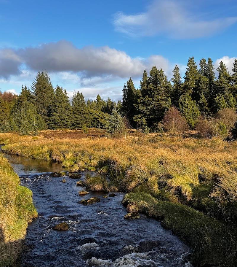
The footbridge over Davagh Water — WalkNI specifically notes a red tint in the river when crossing the newly constructed footbridge.
A boardwalk across peatland — The Solar Walk towards Beaghmore Stone Circles includes a boardwalk over peatland, according to the supplied route description.
When to go
· Daylight for walks and cycling; a clear evening for stargazing, after checking current observatory arrangements.
The supplied information describes walking and mountain-bike trails as year-round options but does not identify a best month. Clear conditions are more useful for views and stargazing.
Check the forecast and local trail conditions before travelling. Higher ground and forest tracks may feel exposed or become difficult in poor weather.
Worth pairing with
Beaghmore Stone Circles via the Solar Walk
The supplied trail description says the Solar Walk connects the OM Observatory with Beaghmore Stone Circles.
OM Observatory
A potential stargazing and interpretation pairing; check current opening and access arrangements before making plans.
What to look for
Look for Davagh Water along the short circular walk, the red tint in the water noted at the footbridge, and the shift from forest tracks to the more open higher ground. The Solar Walk also offers a route between the OM Observatory and Beaghmore Stone Circles.
The story
Archaeology
Best time to go
Year-round; choose a clear evening for stargazing and check trail conditions before travelling.
For a daytime visit, choose a clear spell for views from the higher ground. For stargazing, plan around a clear evening and confirm current arrangements for the observatory.
How long to spend
1–2 hours to half day; allow longer for a mountain-bike route or the Solar Walk.
Perfect for
Walkers · Cyclists · Families · Photographers
Before you go
Google rating
Practical information
Opening & access
A forest trailhead and recreation site with walking and mountain-bike trails. Mountain Bike NI describes the trails as open 24 hours and free to use; check current local conditions before setting out.
Check before visiting
Parking
Trailhead parking is reported by visitor sources. Check current arrangements before visiting.
Check before visiting
Toilets
Reported at the trailhead; check before visiting.
Check before visiting
Food & drink
Check before visiting; bring food and drink if needed.
Check before visiting
Dogs
A route listing describes dogs as welcome. Check current local rules and keep dogs under control.
Check before visiting
Accessibility
The short riverside walk is described as easy, with loose gravel, a bridge and a gradual ascent. Other forest routes and mountain-bike trails vary in length and difficulty; check current route information.
Check before visiting
Cost
Free
Water
River
Gallery
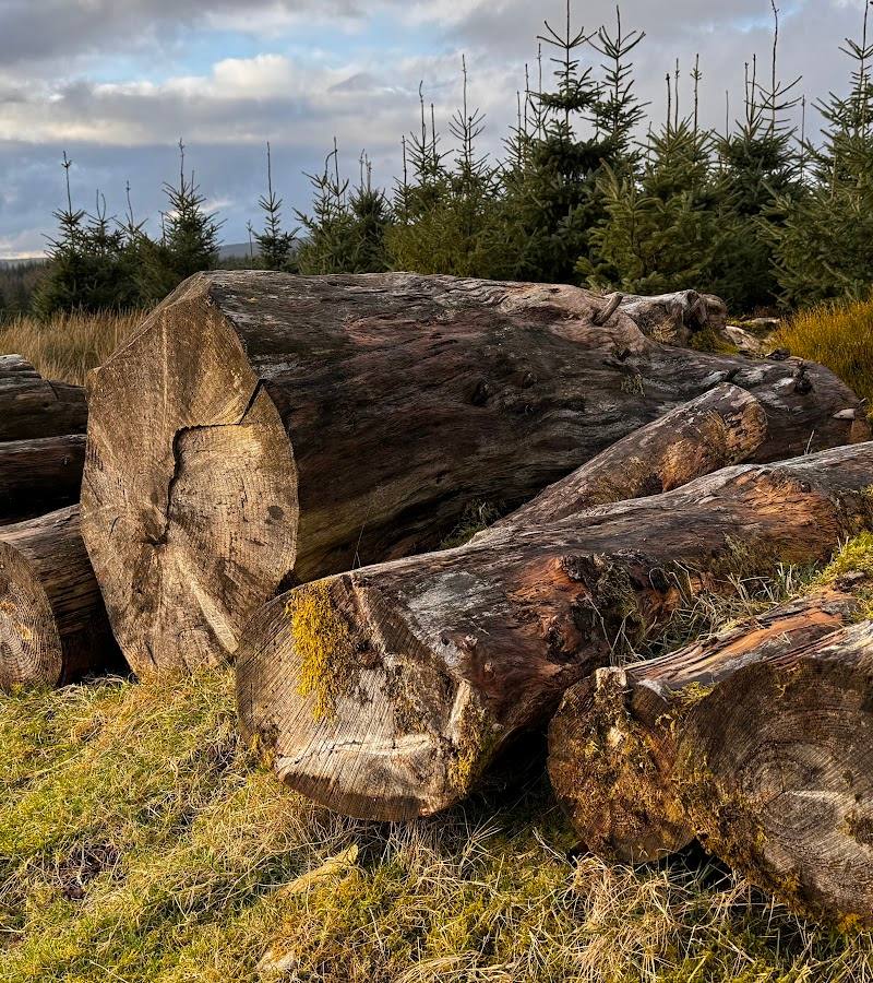
Place photographs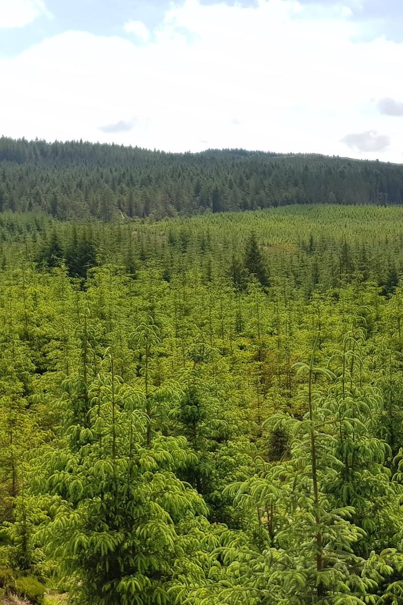
Keep exploring
Around Davagh Forest
Within 50 km · approximate straight-line distances