Staindale, Dalby, Pickering, North Yorkshire YO18 7LR
Bridestones, Crosscliff & Blakey Topping
Mixed-habitat reserve
Place photograph
6.9
Wildland
Half day
Time
Paid
Cost
Wild
Feel
Why it's Wildland
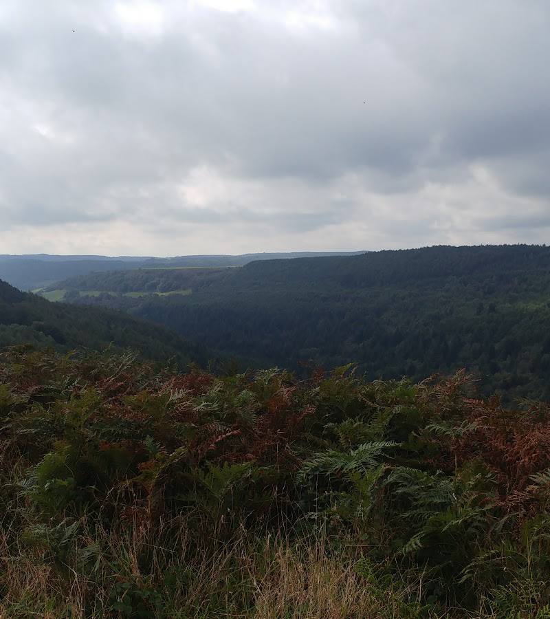
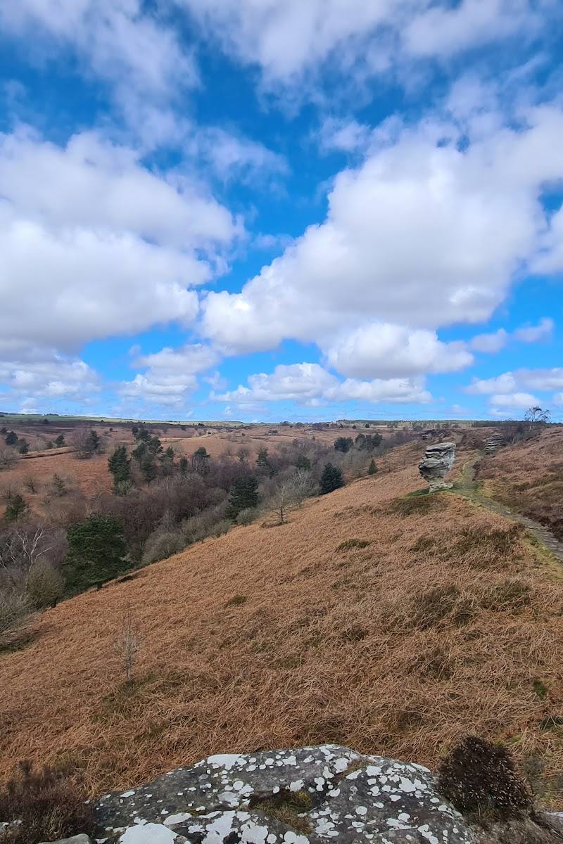
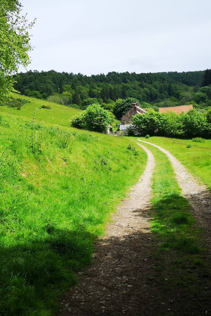
6.9Three contrasting North York Moors landscapes come together here: weather-sculpted Bridestones, the isolated summit of Blakey Topping and the ridge of Crosscliff. Explore a reserve of heather, rough pasture, wooded slopes and grassy dales, with wide views across the surrounding landscape.
This is more than a short stop at unusual rocks: a 300-acre reserve links Jurassic-era sandstone formations with open moor, wooded hillsides and the grassy valley of Dovedale. The combination of distinctive geology, varied habitats and far-reaching views gives the walk real depth.
Wild · Dramatic · Big-sky
Find your way
Open mapStaindale, Dalby, Pickering, North Yorkshire YO18 7LR
Opening map…
Know this place a little better?
The experience
Walk among the Bridestones, explore the reserve’s mix of open moor and wooded slopes, and take in the views. For a longer outing, extend your exploration towards Blakey Topping and Crosscliff; check the current map and route conditions before setting off.
Things to do
See the Bridestones up close
Follow the uphill footpaths to the sandstone formations and examine the erosion-shaped layers of harder sandstone and softer calcareous rock.
Allow time for the uphill walk and a return; exact duration not specified.
Explore the reserve’s varied habitats
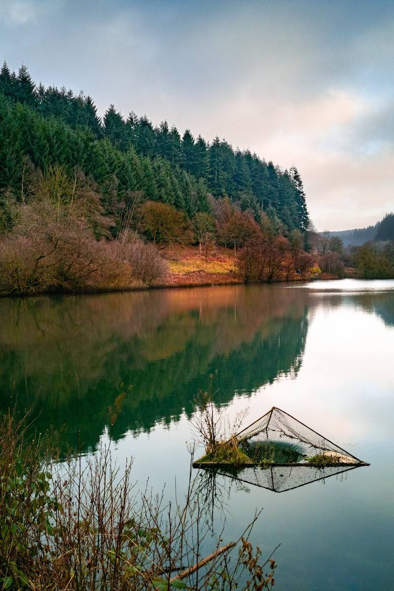
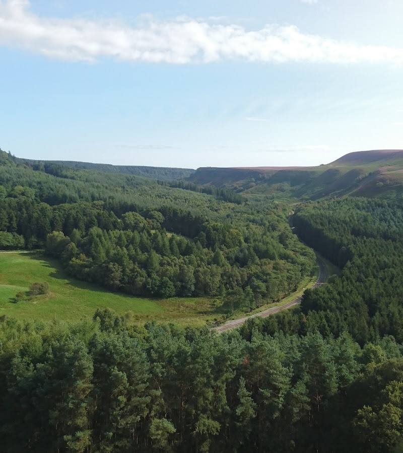
Look across open heather and rough pasture towards wooded hillsides and grassy dales. The reserve covers 300 acres and is designated an SSSI.
Look towards Blakey Topping and Crosscliff
Spot Blakey Topping’s distinctive isolated, flat-topped profile and the sharp ridge of Crosscliff. The hill is described as standing around 60 m above the surrounding land.
Pause for the views
The Bridestones and surrounding high ground provide panoramic views across the reserve and nearby landscape.
Make a day of it
Quick escape · 1–2 hours
Quick Escape: the Bridestones
- 01
Start from Bridestones car park.
- 02
Follow the footpaths uphill to see the rock formations up close.
- 03
Pause for the panoramic views, then return by the route you came.
Half day · Half day
Make a Half Day of It: rocks, reserve and open views
- 01
Begin at Bridestones car park and climb to the rock formations.
- 02
Explore the surrounding reserve, taking in its open heather, rough pasture and wooded hillsides.
- 03
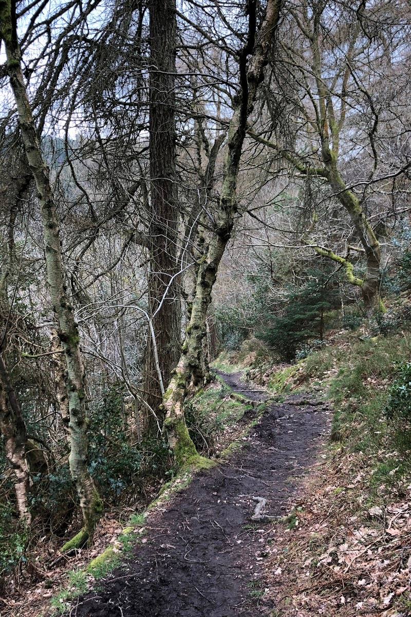
Continue towards the grassy valley of Dovedale and its ancient woodland and beck, if conditions and your chosen route allow.
- 04
Allow time to stop for a picnic and enjoy the views.
Verified history
The Bridestones are the remains of a sandstone cap of sedimentary rock deposited around 150 million years ago. Over thousands of years, wind, frost and rain eroded alternating hard sandstone and softer calcareous layers into the forms visible today. Blakey Topping was shaped by meltwater erosion at the end of the last ice age. The reserve’s name for the rocks may derive from the Old Norse terms “brink-stones” or “edge stones”.
Folklore & legend
Local legend says the giant Wade created Blakey Topping by throwing a spadeful of earth, dug from the nearby Hole of Horcum, at his wife. The soil missed her and formed the hill. This is folklore, not the geological explanation.
Hidden details
Read the rocks’ contrasting layers — The Bridestones’ unusual forms result from alternating harder sandstone and softer calcareous layers, worn down by wind, frost and rain.
Find the beck in Dovedale — Bridestones Griff leads towards the grassy valley of Dovedale, where the National Trust describes ancient woodland and a rippling beck.
Compare geology with the Wade legend — Blakey Topping’s form is explained geologically by meltwater erosion at the end of the last ice age; local folklore instead attributes it to a giant’s thrown spadeful of earth.
When to go
June · July · August · Choose a clear day for the views; the countryside is listed as open from dawn to dusk.
The National Trust notes flowers in the grassy dales in summer. Clear conditions are useful for taking in the panoramic views.
The paths include steep slopes and uneven ground. Check conditions and access information before visiting, and take care on rough terrain.
Worth pairing with
Dalby Forest
The reserve is reached via Dalby Forest Drive. Consider pairing the visit with time in the forest, checking current access and facilities with Forestry England before travelling.
What to look for
Notice the Bridestones’ alternating hard sandstone and softer calcareous layers, the open heather and rough pasture, and the wooded hillsides and grassy dales. Look for the isolated, flat-topped profile of Blakey Topping and the sharp ridge of Crosscliff.
The story
Archaeology
Best time to go
Summer for flowers in the grassy dales; choose a clear day for expansive views.
Visit in summer for flowers in the grassy dales. On a clear day, allow time to enjoy the panoramic views from the Bridestones and surrounding high ground.
How long to spend
Half day
Perfect for
Walkers · Photographers · Wildlife lovers · Dogs
Before you go
Address
Phone
Website
Listed hours
- Monday: Open 24 hours
- Tuesday: Open 24 hours
- Wednesday: Open 24 hours
- Thursday: Open 24 hours
- Friday: Open 24 hours
- Saturday: Open 24 hours
- Sunday: Open 24 hours
Check before visiting.
Google rating
Practical information
Opening & access
The countryside is listed as open from dawn to dusk. Access is via Dalby Forest Drive, where a toll is payable, including for National Trust members. Paths include steep slopes and uneven ground; check current access information before setting out.
Check before visiting
Parking
Bridestones car park in Dalby Forest is the nearest car park. Access is via Dalby Forest Drive, with a toll payable; check current details before travel.
Check before visiting
Toilets
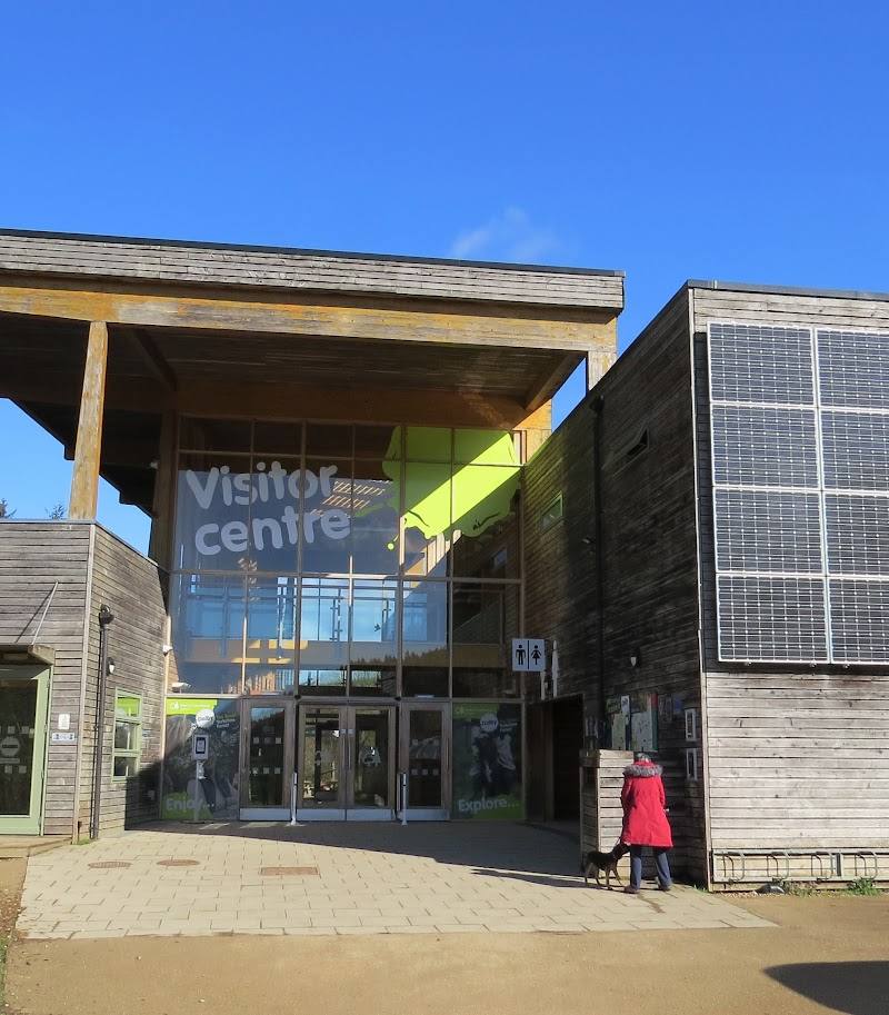
Toilets, including an accessible toilet, are reported 85 m from Bridestones car park. Check current provision before visiting.
Check before visiting
Food & drink
No café or food provision is confirmed in the supplied sources.
Dogs
Dogs are allowed; keep them on a short lead around livestock and wildlife.
Accessibility
Limited level access from Bridestones car park; the terrain beyond includes steep slopes and uneven paths. The nearby toilet is reported to include an accessible toilet. Check the National Trust access statement before visiting.
Check before visiting
Cost
Paid
Water
Beck
Gallery
Place photographsKeep exploring
Around Bridestones, Crosscliff & Blakey Topping
Within 50 km · approximate straight-line distances