Moel Arthur, Denbighshire, Wales, LL16 4NB
Moel Arthur
Earthworks
Place photograph
6.0
Wildland
1–2 hours
Time
Check
Cost
Wild
Feel
Why it's Wildland
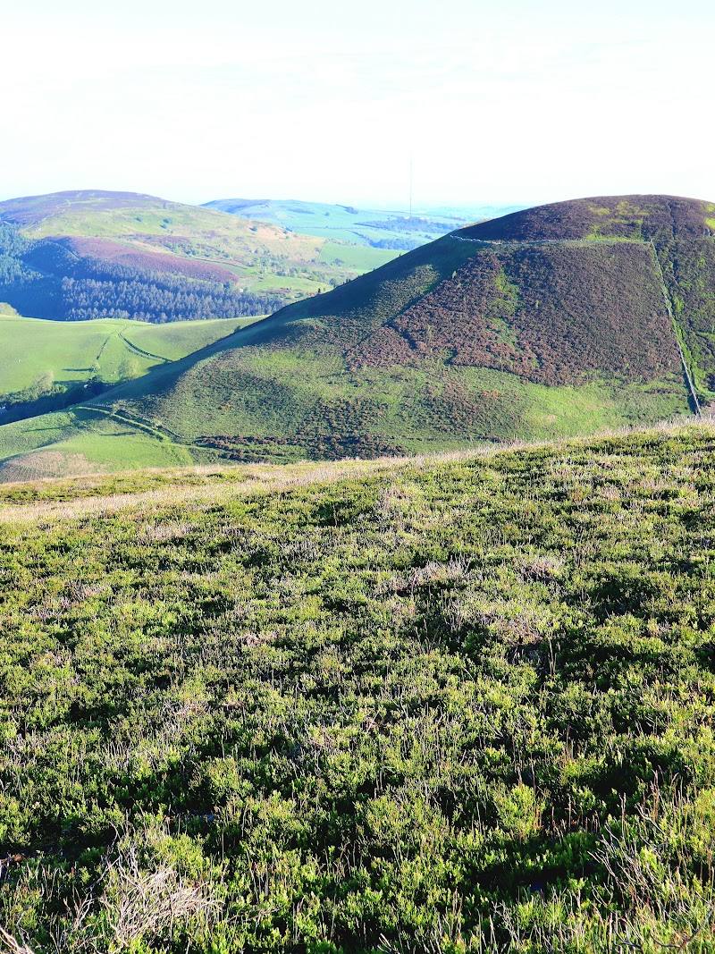
6.0A steep climb leads to the surviving ramparts of a hillfort on the Clwydian Range, with broad views across the surrounding hills.
Moel Arthur brings together an exposed hilltop, visible ancient earthworks and an uphill walk with a rewarding sense of height. It is a compact visit with a strong landscape-and-archaeology character.
Wild · Dramatic
Find your way
Open mapMoel Arthur, Denbighshire, Wales, LL16 4NB
Opening map…
Know this place a little better?
The experience
Walk uphill to explore the hillfort earthworks and take in the views from the summit. The climb is described as steep, and wet weather can make the path muddy and slippery.
Things to do
Climb to the hillfort summit
Take the described uphill walk to Moel Arthur’s summit. The approach is steep in places; the source warns that wet ground can be muddy and slippery.
Trace the ramparts and ditch
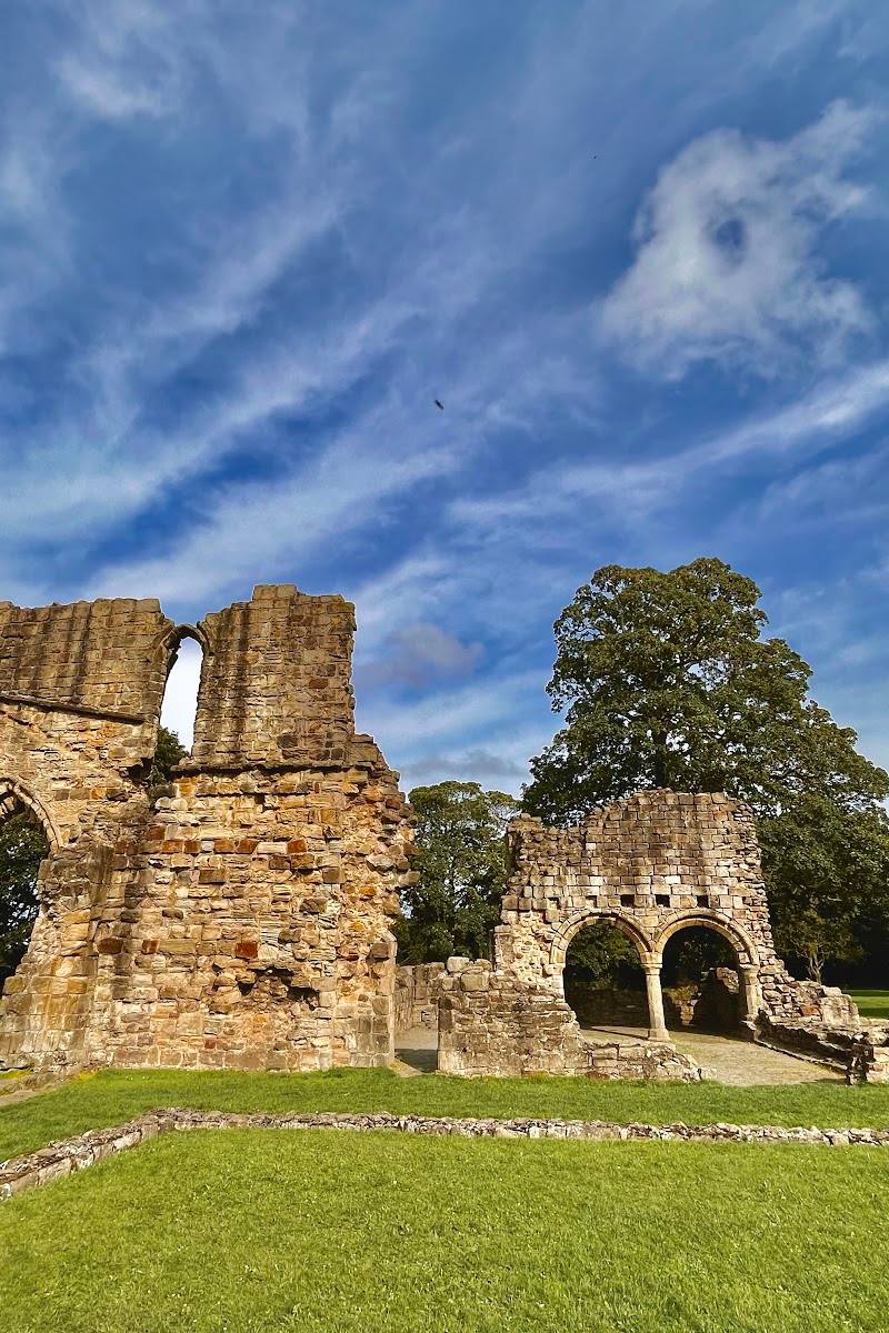
Look across the surviving earthworks at the summit. A walk account describes following the ditch between the ramparts and identifies one rampart as a boundary between Denbighshire and Flintshire.
Pause for the hilltop views
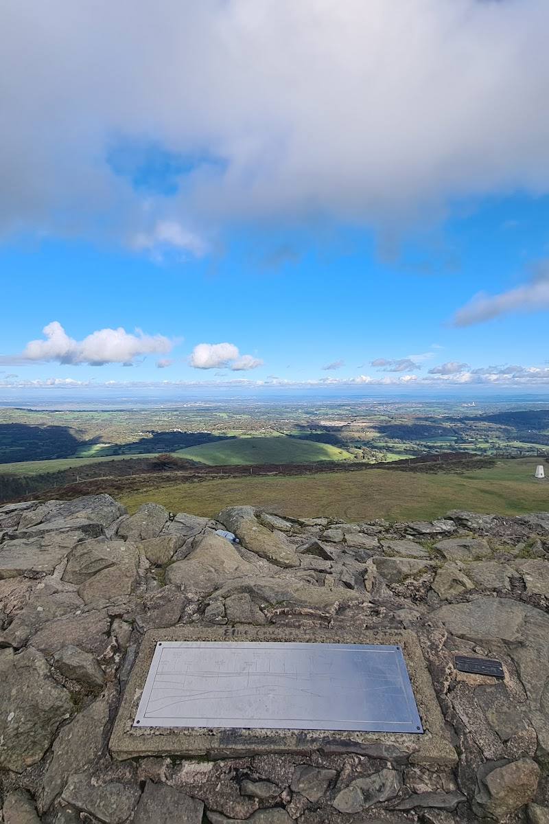
The climb is described as reaching a viewpoint with views over the valley. A walking video reports views towards Eryri and Liverpool on a clear day.
Make a day of it
Quick escape · 1–2 hours
Quick summit and hillfort
- 01
Start from the official car park described by the walking source; confirm its location and current availability before setting out.
- 02
Follow the uphill path towards the summit, allowing for a steep section.
- 03
Explore the visible ramparts and ditch, then take in the views before returning by your chosen route.
Verified history
Moel Arthur is described in the supplied walking sources as an Iron Age hillfort, possibly older. Its summit earthworks include ramparts and a ditch. One account reports that a severe rainstorm in 1962 washed three Bronze Age copper axes from the ramparts, prompting the suggestion that the site may have earlier origins; this does not establish the hillfort’s date.
Folklore & legend
The supplied video mentions a possible association with King Arthur but does not establish it as history. Treat the connection as unverified tradition, not fact.
Hidden details
A rampart at the county boundary — A walker describes one of the ramparts as marking the boundary between Denbighshire and Flintshire.
When to go
· Choose a clear, settled period for the best chance of open views; no particular time of day is supported by the supplied sources.
The sources do not establish a seasonal highlight. Conditions and visibility matter more: wet weather can make the path slippery, while poor visibility can make the route harder to follow.
The exposed hill can be windy. A source warns that weather can close in quickly and that wet ground may make the path muddy and slippery. Check the forecast and visibility before setting out.
What to look for
Look for the earthwork ramparts around the summit and the ditch between them. The supplied account also describes a rampart as marking the Denbighshire–Flintshire boundary.
The story
Archaeology
Best time to go
No specific season is established by the supplied sources. Choose a clear, settled day for views and check conditions before setting out.
Aim for a clear, settled day when the views are more likely to open up. Check the forecast and ground conditions before setting out.
How long to spend
1–2 hours
Perfect for
Walkers · History lovers · Photographers
Before you go
Address
Google rating
Practical information
Opening & access
A hillfort summit reached by a steep walk. The supplied sources describe an official car park, but current access and parking arrangements are not confirmed; check before visiting. Conditions can become slippery and visibility may deteriorate quickly. Access arrangements are unconfirmed. Check before visiting; do not enter private land or restricted structures.
Check before visiting
Parking
A source describes an official Moel Arthur car park, but its precise location, capacity and current availability are not established here. Check before visiting.
Check before visiting
Toilets
Check before visiting
Check before visiting
Food & drink
Check before visiting
Check before visiting
Dogs
A walking source describes the hill as suitable for dog walking and says sheep are in lower fields. Current access and livestock conditions are not confirmed; check before visiting and keep dogs under control.
Check before visiting
Accessibility
The approach includes a steep ascent. The route may be muddy and slippery after rain, and poor visibility can make it easy to lose the path. Not suitable for assuming step-free access.
Cost
Check before visiting
Check before visiting
Gallery
Place photographsKeep exploring
Around Moel Arthur
Within 50 km · approximate straight-line distances