8.4
Wildland
1–2 hours
Time
Check
Cost
Wild
Feel
Why it's Wildland
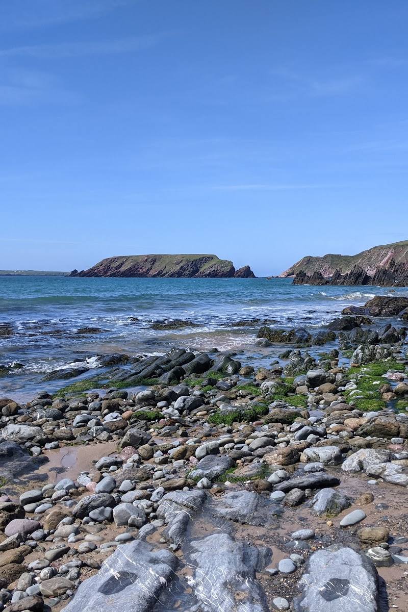
8.4A sandy beach beneath cliffs, on a stretch of coast with far-reaching views towards Skomer, Skokholm and Gateholm.
Marloes Sands is more than a beach stop: its cliffs and open Atlantic views lead into a wildlife-rich stretch of the Wales Coast Path. The two-mile walk to Martin’s Haven adds a rewarding way to experience the wider peninsula.
Wild · Dramatic · Big-sky
Find your way
Open mapMarloes Peninsula, Pembrokeshire, Wales
Opening map…
Know this place a little better?
The experience
Come for the beach and its cliff-framed Atlantic outlook, or follow the Wales Coast Path from Marloes Sands to Martin’s Haven. The supplied route is two miles one way, with views towards Skomer, Skokholm and Gateholm.
Things to do
Walk the coast to Martin’s Haven
Follow the Wales Coast Path for two miles between Marloes Sands and Martin’s Haven, with views towards Skomer, Skokholm and Gateholm.
2 miles one way; duration not stated
Look for seasonal coastal flowers
The Wales Coast Path source names early-season snowdrops, primroses and scurvy grass, bluebells in late spring, and red campions, foxgloves and sea thrift in summer.
Scan the coast for wildlife
The Wales Coast Path source lists puffins, choughs, shearwaters, buzzards, ravens and peregrines among local coastal birds, and reports grey seals with pups at the water’s edge in late August and early September.
Make a day of it
Quick escape · Allow 1–2 hours; exact visit time is not specified by the sources.
Quick escape: beach and cliff views
- 01
Start from Marloes Sands car park.
- 02
Follow the access path down to the beach; a supplied source describes the walk to the beach as steep.
- 03
Take in the cliffs and sea views, then return the way you came.
Half day · 2 miles one way; walking time not specified in the supplied source.
Make a half day of it: walk to Martin’s Haven
- 01
Begin at Marloes Sands car park and follow the Wales Coast Path towards Martin’s Haven.
- 02
Watch for views over Skomer, Skokholm and Gateholm, and look out for coastal birds and seasonal flowers.
- 03
Finish at Martin’s Haven; the source reports a car park and public toilets there. Check current transport or return arrangements before setting out.
Hidden details
The Deer Park enclosure — At the western end of the peninsula, the Wales Coast Path source describes an 18th-century walled enclosure called Deer Park. Despite its name, it has never contained deer; the source says it is now grazed by Welsh mountain ponies and Welsh Black cattle.
When to go
April · May · June · July · August · September · Not specified in the supplied sources; check weather and coastal conditions before setting out.
The supplied Wales Coast Path source describes flowers from early in the year through summer and reports grey seals with pups at the water’s edge in late August and early September.
Check the local forecast and coastal conditions before visiting. The supplied sources do not give specific weather guidance.
The route
- stiles
- The National Park source says there are no stiles on the Martin’s Haven–Dale section; confirm applicability to the full route before relying on this.
- distance
- 2 miles (3 km), one way
- difficulty
- The National Park source describes the wider Martin’s Haven–Dale section as fairly easy, mainly level walking with occasional short climbs; this does not establish the exact difficulty of every part of the Marloes Sands–Martin’s Haven walk.
- route shape
- Point-to-point: Marloes Sands car park to Martin’s Haven car park
- start point
- Marloes Sands car park
- parking start
- The Wales Coast Path source reports a car park at Marloes Sands; check current arrangements.
- shorter alternative
- Visit Marloes Sands from its car park and return the same way rather than walking the full two miles to Martin’s Haven.
- Views over Skomer, Skokholm and Gateholm
- Coastal birds and seasonal wildflowers
- Deer Park, an 18th-century walled enclosure at the western end of the peninsula
Worth pairing with
Martin’s Haven
A coastal-path endpoint two miles from Marloes Sands. The Wales Coast Path source says boat trips operate from Martin’s Haven to Skomer and Skokholm; check current availability and arrangements.
Runwayskiln café
Listed by the Wales Coast Path source as 150 metres from Marloes Sands car park. Check before visiting.
What to look for
Look offshore for Skomer, Skokholm and Gateholm. Along the coastal path, the supplied source names scurvy grass, primroses, snowdrops, bluebells, red campions, foxgloves and sea thrift, with grey seals and pups reported at the water’s edge in late August and early September.
Best time to go
Late spring and summer for coastal wildflowers; late August and early September for grey seals with pups at the water’s edge.
Late spring for bluebells and early summer for coastal flowers; visit in late August or early September for the reported chance of seeing grey seals with pups at the water’s edge.
How long to spend
1–2 hours
Perfect for
Walkers · Photographers · Wildlife lovers · Families
Before you go
Google rating
Practical information
Opening & access
The supplied sources describe access from Marloes Sands car park and coastal paths. Check current access and conditions before visiting.
Check before visiting
Parking
The Wales Coast Path source reports car parks at Marloes Sands and Martin’s Haven. Check current arrangements before travelling.
Check before visiting
Toilets
The Wales Coast Path source reports public toilets at both ends of the Marloes Sands–Martin’s Haven walk. Check before visiting.
Check before visiting
Food & drink
The Wales Coast Path source lists Runwayskiln café, 150 metres from Marloes Sands car park. Check before visiting.
Check before visiting
Dogs
Check before visiting.
Check before visiting
Accessibility
The supplied sources mention a steep walk to the beach and coastal paths. Check current route conditions and suitability before visiting.
Check before visiting
Cost
Check before visiting
Check before visiting
Water
Sea
Gallery
Place photographs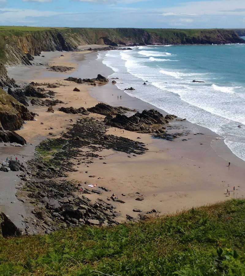

Keep exploring
Around Marloes Sands
Within 50 km · approximate straight-line distances
 Place photograph9.4
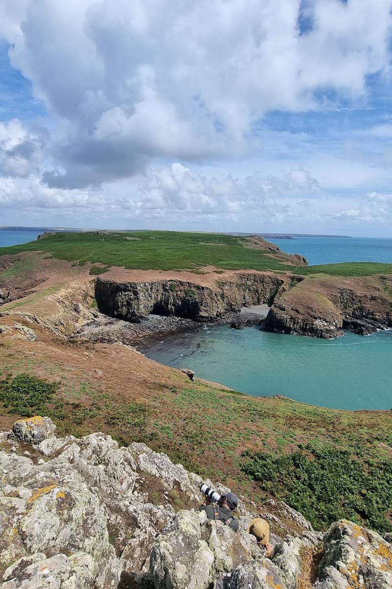
Skomer Island
Off the Pembrokeshire coast, reached by boat from Martin’s Haven
6.4 km away
 Place photograph7.5
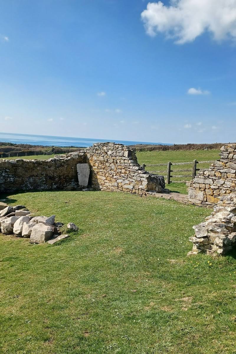
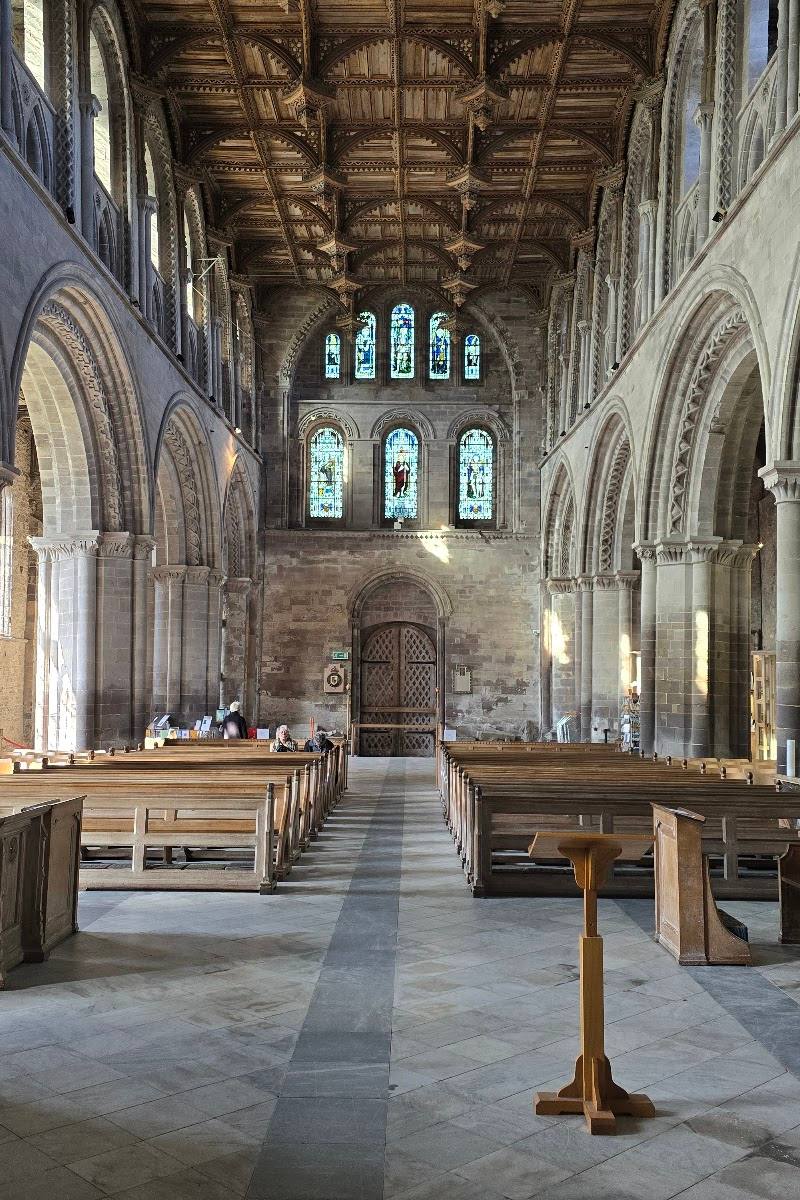
St Non’s Chapel and Well
St Non’s, near St Davids, Pembrokeshire, SA62 6BN
17.4 km away
 Source image7.1
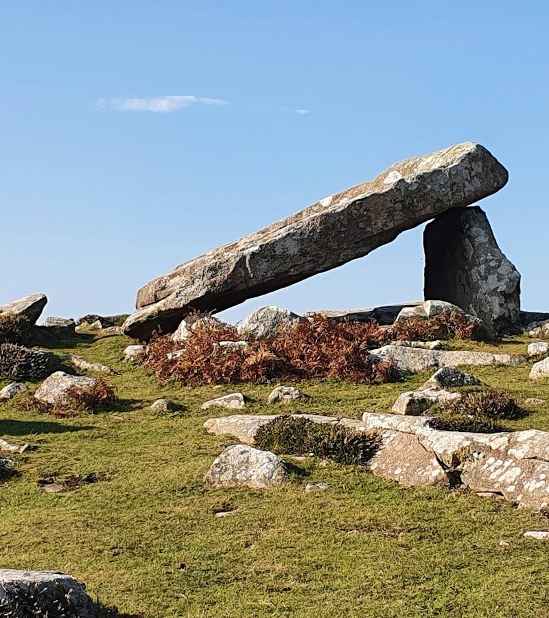
Coetan Arthur Burial Chamber
St David’s Head, near St Davids, Pembrokeshire, SA62 6PT
21.6 km away
 Place photograph8.7
Florence Springs Luxury Lakeside Lodges
St Florence, near Tenby, Pembrokeshire SA70 8RJ
31.2 km away