Near New Polzeath, Wadebridge, Cornwall
Lundy Bay
route · Coastal walk
Place photograph
7.2
Wildland
1–2 hours
Time
Check
Cost
Secluded
Feel
Why it's Wildland
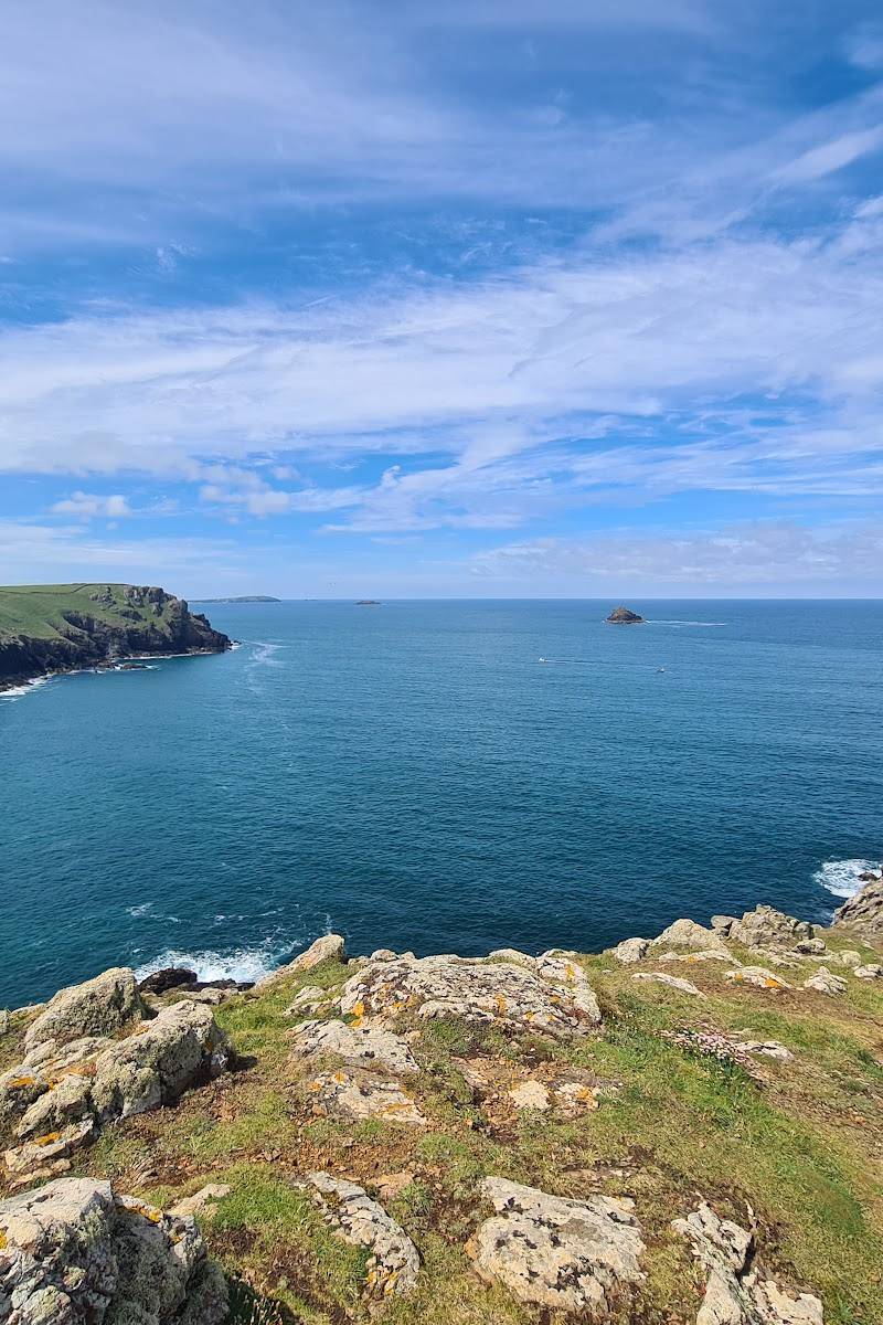
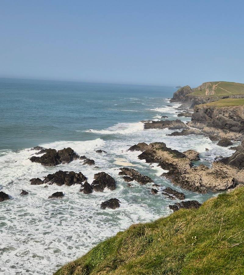
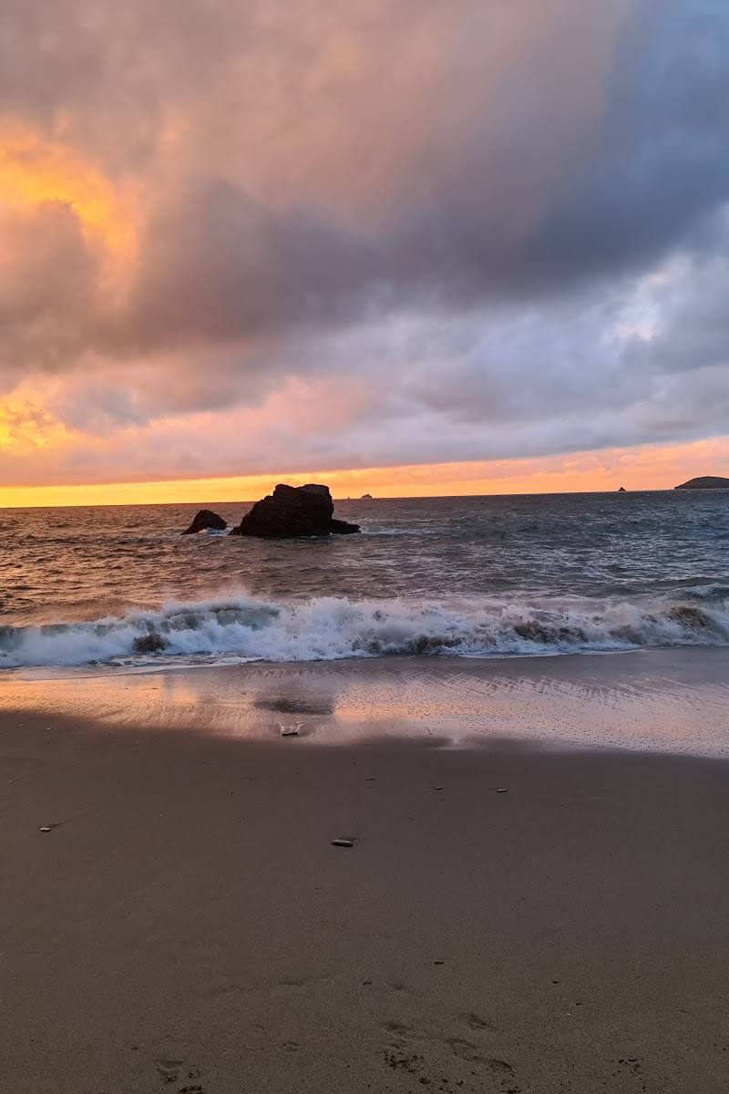
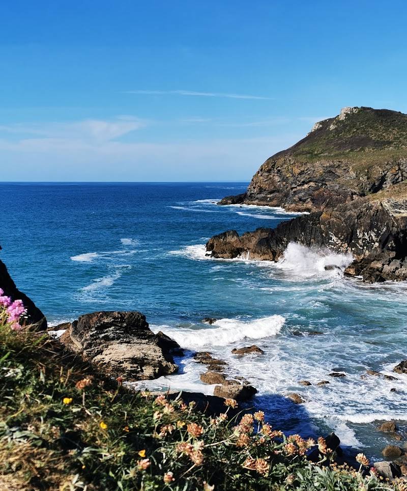
7.2A sheltered cove beneath a rugged Atlantic-facing coast, with rock pools, flower-rich slopes and the striking collapsed sea cave known as Lundy Hole.
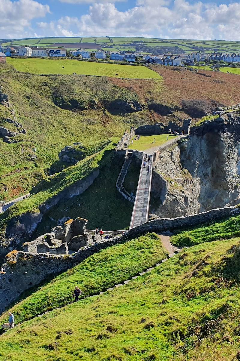
This short coastal walk earns its place for the contrast between a secluded cove and an exposed Cornish headland, with a collapsed sea cave and wildlife-rich slopes to look for along the way.
Secluded · Dramatic · Wild
Find your way
Open mapNear New Polzeath, Wadebridge, Cornwall
Opening map…
Know this place a little better?
The experience
Allow around an hour or two for the 1-mile walk from the National Trust car park to Lundy Bay and back. Take in the cove, look for Lundy Hole and coastal wildlife, and check tide and path conditions before you go.
Things to do
Walk down to Lundy Bay
Follow the short coastal route from the National Trust car park to the sandy cove. The South West Coast Path listing describes the route as 1 mile and easy, with a narrow path sloping gently towards the beach.
About 1 mile; allow around 1 hour
Look for Lundy Hole
Find the collapsed sea cave, a prominent eroded feature noted in descriptions of the bay.
Explore the shore at low tide
The supplied description notes sandy coves and rock pools at low tide. Check tide conditions and take care around the coast.
Notice the coastal vegetation
Look for thickets of blackthorn, willow and hawthorn, described as carrying thick braids of lichen.
Make a day of it
Quick escape · About 1 hour
Quick Escape: down to the cove
- 01
Start at the National Trust Lundy Bay car park.
- 02
Follow the short path down to the cove.
- 03
Look for Lundy Hole and explore the shore with care, checking tide conditions before visiting.
- 04
Return by the same route.
Half day · Half day
Make a half day of it: cove and coast path
- 01
Walk the short route from Lundy Bay car park down to the cove.
- 02
Spend time looking for the collapsed sea cave, rock pools and coastal wildlife.
- 03
If conditions and energy allow, continue along a suitable section of the South West Coast Path and return the way you came.
Hidden details
Lundy Hole — The collapsed sea cave is an easily missed geological feature to seek out on the walk.
Lichen on the valley thickets — The South West Coast Path description singles out thick braids of lichen on blackthorn, willow and hawthorn in the sheltered valley.
When to go
· Check tide and weather conditions before setting out; no specific time of day is established by the supplied sources.
The sources mention flower-rich meadows, breeding birds and butterflies but do not establish specific peak months.
The coast is described as exposed to Atlantic storms. Check the forecast, tide conditions and path conditions before visiting.
The route
- ascent
- A single stretch of steep ascent and descent is an optional detour.
- surface
- A narrow path sloping gently to the beach; other surface details are not specified.
- distance
- 1.0 mile (1.7 km)
- duration
- Check before visiting
- difficulty
- Easy
- route shape
- The listed route is a short walk to the cove; route shape is not specified.
- start point
- National Trust Lundy Bay car park, PL27 6QZ
- parking start
- National Trust Lundy Bay car park, PL27 6QZ; check current arrangements.
- shorter alternative
- Walk down to the cove and return by the same path; confirm the route and conditions locally.
- Sheltered cove
- Collapsed sea cave known as Lundy Hole
- Sandy coves and rock pools at low tide
- Coastal wildlife and flower-rich meadows
What to look for
Look for the collapsed sea cave known as Lundy Hole, rock pools at low tide, and the lichen-covered thickets described along the sheltered valley.
Best time to go
Check local conditions before visiting; the sources do not identify a specific best season.
No specific visiting time is established by the supplied sources. Check tide, weather and path conditions before setting out.
How long to spend
1–2 hours
Perfect for
Walkers · Photographers · Wildlife lovers
Route at a glance
Duration
1–2 hours
Terrain
Coastal, Valley
Parking / start
The route starts at the National Trust Lundy Bay car park, PL27 6QZ. Check current parking arrangements before setting out.
Before you go
Address
Practical information
Opening & access
A short route from the National Trust Lundy Bay car park leads down to the cove. Check current access and parking information before travelling.
Check before visiting
Parking
The route starts at the National Trust Lundy Bay car park, PL27 6QZ. Check current parking arrangements before setting out.
Check before visiting
Toilets
Check before visiting
Check before visiting
Food & drink
Check before visiting
Check before visiting
Dogs
Check current rules and signage before visiting.
Check before visiting
Accessibility
The short route is described as easy, with a narrow path sloping gently to the beach. An optional detour includes a steep ascent and descent. Check current conditions and suitability before visiting.
Check before visiting
Cost
Check before visiting
Check before visiting
Water
Sea
Gallery
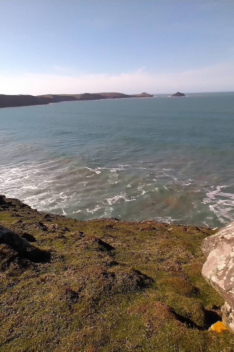
Place photographs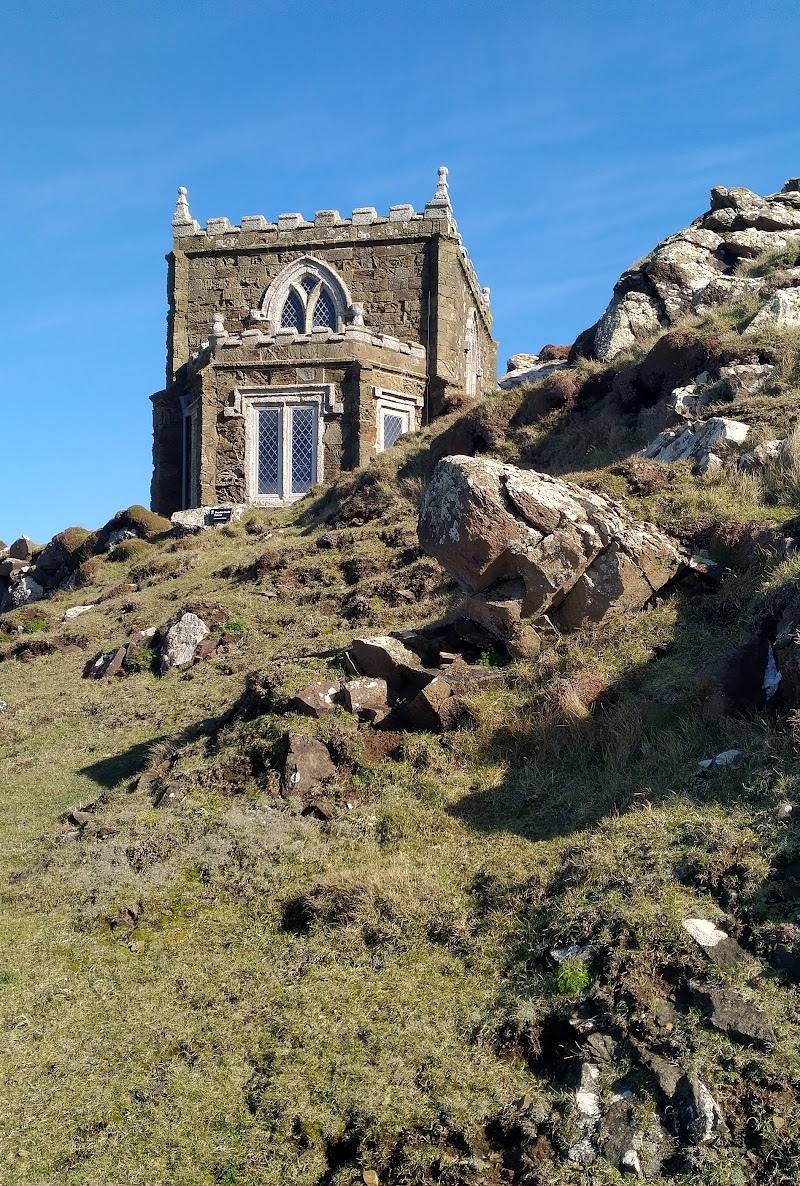
Keep exploring
Around Lundy Bay
Within 50 km · approximate straight-line distances