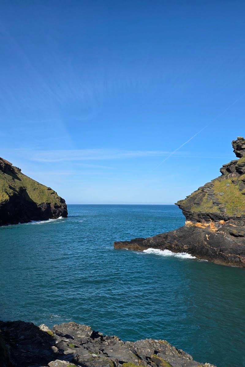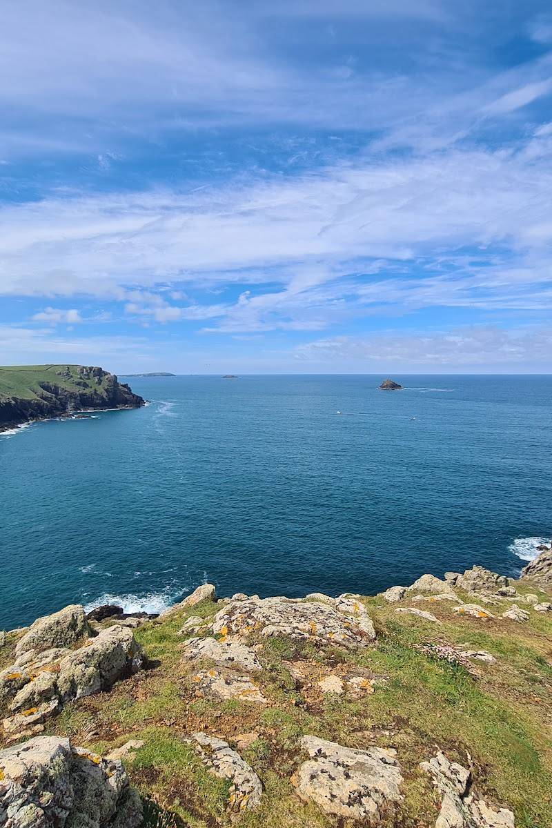
Pentire headland, near Polzeath, Cornwall
Pentire Point
Viewpoint
Place photograph
8.0
Wildland
Half day
Time
Check
Cost
Wild
Feel
Why it's Wildland
8.0A rugged North Cornwall headland on the South West Coast Path, with wide coastal views and the possibility of spotting grey seals or peregrine falcons.
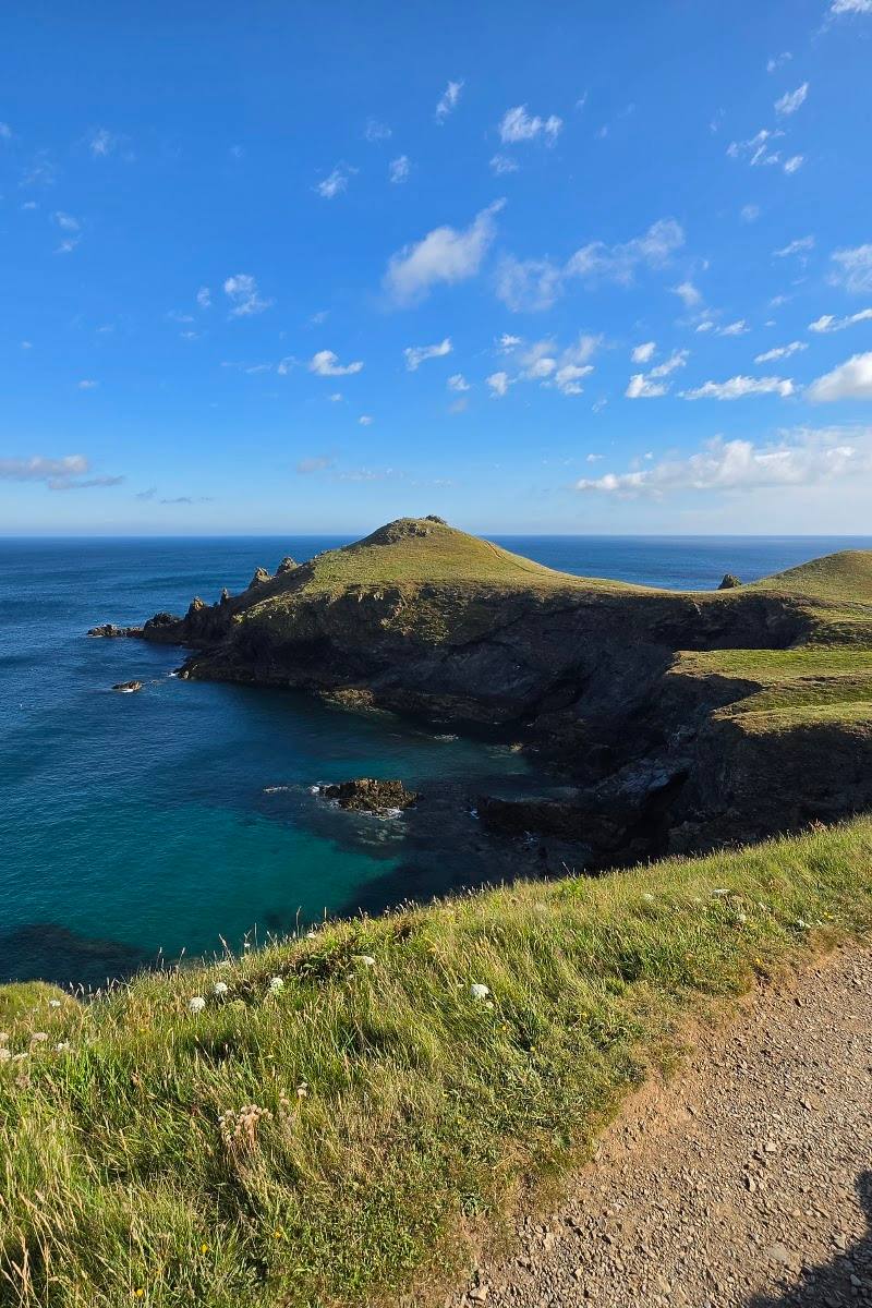
Pentire Point earns its place for a properly exposed coastal walk: grassy tracks and coast paths lead across a dramatic headland, with views reaching from Stepper Point towards Doyden and Tintagel Castle on clear days. The wildlife adds another reason to slow down and scan the cliffs and sea.
Wild · Dramatic · Big-sky
Find your way
Open mapPentire headland, near Polzeath, Cornwall
Opening map…
Know this place a little better?
The experience
The National Trust’s 5.44 km headland walk takes around two to three hours and includes Pentire Point and The Rumps. Expect natural grassy tracks, coast paths, steps and uneven ground. Keep dogs on leads and look out for signs about grazing cattle.
Things to do
Walk the Pentire headland route
Follow the National Trust walk from Pentireglaze car park, taking in Pentire Point and The Rumps. The route follows mostly natural grassy tracks and coast paths.
2–3 hours
Look for coastal wildlife
Keep watch for grey seals and peregrine falcons, both noted by the National Trust as often seen on this stretch of coast.
Take in the headland views
On a clear day, look south towards Stepper Point and north towards Doyden and Tintagel Castle.
Make a day of it
Quick escape · Check route options before visiting
Quick headland escape
- 01
Use the National Trust’s Pentireglaze car park as the start point.
- 02
Follow the coast path towards Pentire Point.
- 03
Pause at a safe viewpoint to scan the coast and sea for wildlife.
- 04
Return by a route confirmed on the current trail information.
Half day · 2–3 hours
Pentire Point and The Rumps walk
- 01
Start at Pentireglaze car park, PL27 6QY.
- 02
Follow the National Trust’s 5.44 km headland walk, which takes in Pentire Point and The Rumps.
- 03
Take time to look for grey seals and peregrine falcons and enjoy the coastal views.
- 04
Check current trail information for route details, conditions and any grazing notices.
When to go
· Not specified in the supplied sources; a clear day is best for the views.
The supplied sources do not establish a seasonal recommendation. Check current trail conditions before setting out.
Coastal paths can be exposed. The supplied sources do not give specific weather guidance; check conditions before visiting.
What to look for
Scan the sea and cliff edges for grey seals and peregrine falcons. On clear days, look south towards Stepper Point and north towards Doyden and Tintagel Castle.
Best time to go
Check current conditions before visiting; the supplied sources do not identify a best season.
Choose a clear day for the coastal views; the sources do not specify a best time of day.
How long to spend
Half day
Perfect for
Walkers · Photographers · Wildlife lovers
Before you go
Address
Listed hours
- Monday: Open 24 hours
- Tuesday: Open 24 hours
- Wednesday: Open 24 hours
- Thursday: Open 24 hours
- Friday: Open 24 hours
- Saturday: Open 24 hours
- Sunday: Open 24 hours
Check before visiting.
Google rating
Practical information
Opening & access
The National Trust’s Pentire headland walk starts at Pentireglaze car park, PL27 6QY, and takes in Pentire Point and The Rumps. Paths include steps and uneven sections; check current access information before setting out.
Check before visiting
Parking
The National Trust walk starts at Pentireglaze car park, PL27 6QY. Check current parking details before visiting.
Check before visiting
Toilets
Check before visiting
Check before visiting
Food & drink
Check before visiting
Check before visiting
Dogs
Dogs are welcome on the National Trust walk but must be kept on a lead; cattle may graze on the headland, so follow current signs.
Accessibility
The National Trust describes steps and some uneven paths. The walk follows mostly natural, grassy tracks and coast paths.
Cost
Check before visiting
Check before visiting
Water
Sea
Gallery
Place photographs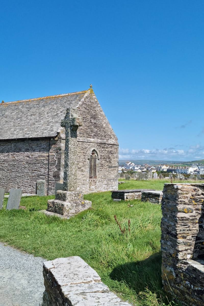
Keep exploring
Around Pentire Point
Within 50 km · approximate straight-line distances
 Place photograph5.7
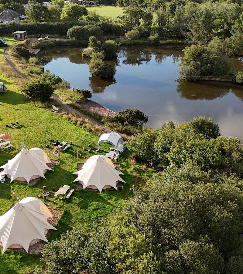
Tregonetha Lake Camping & Glamping
Avalen Farm, Tregonetha, near St Columb Major, Cornwall
16.2 km away
 Place photograph7.8
St Nectan’s Glen and Waterfall
Trethevy, near Tintagel, Cornwall PL34 0BE
17.7 km away