Near Ambleside, Lake District, Cumbria, England, LA22 9HQ
Loughrigg Fell
Viewpoint
Place photograph
6.5
Wildland
1–2 hours, Half day
Time
Check
Cost
Dramatic
Feel
Why it's Wildland
6.5A compact Lake District fell where a summit walk opens out to views across Windermere, Grasmere, Rydal Water and surrounding fells.
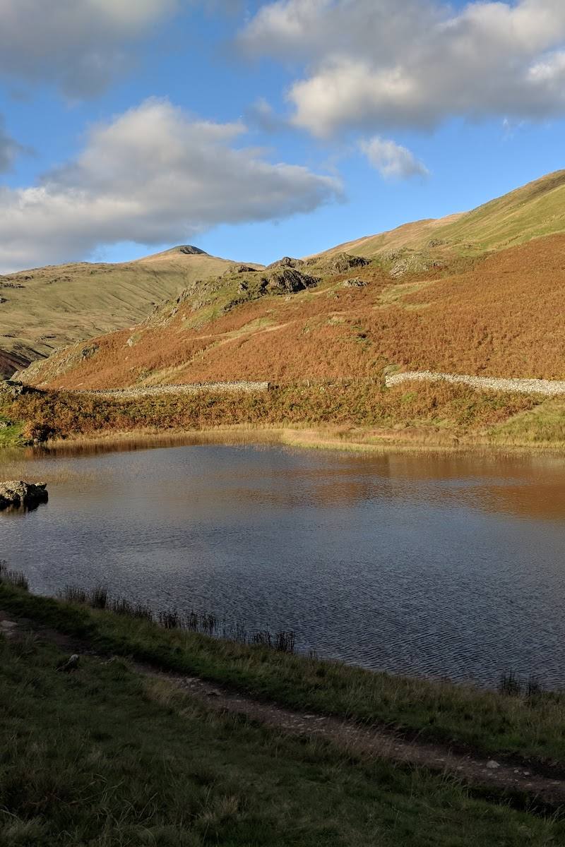
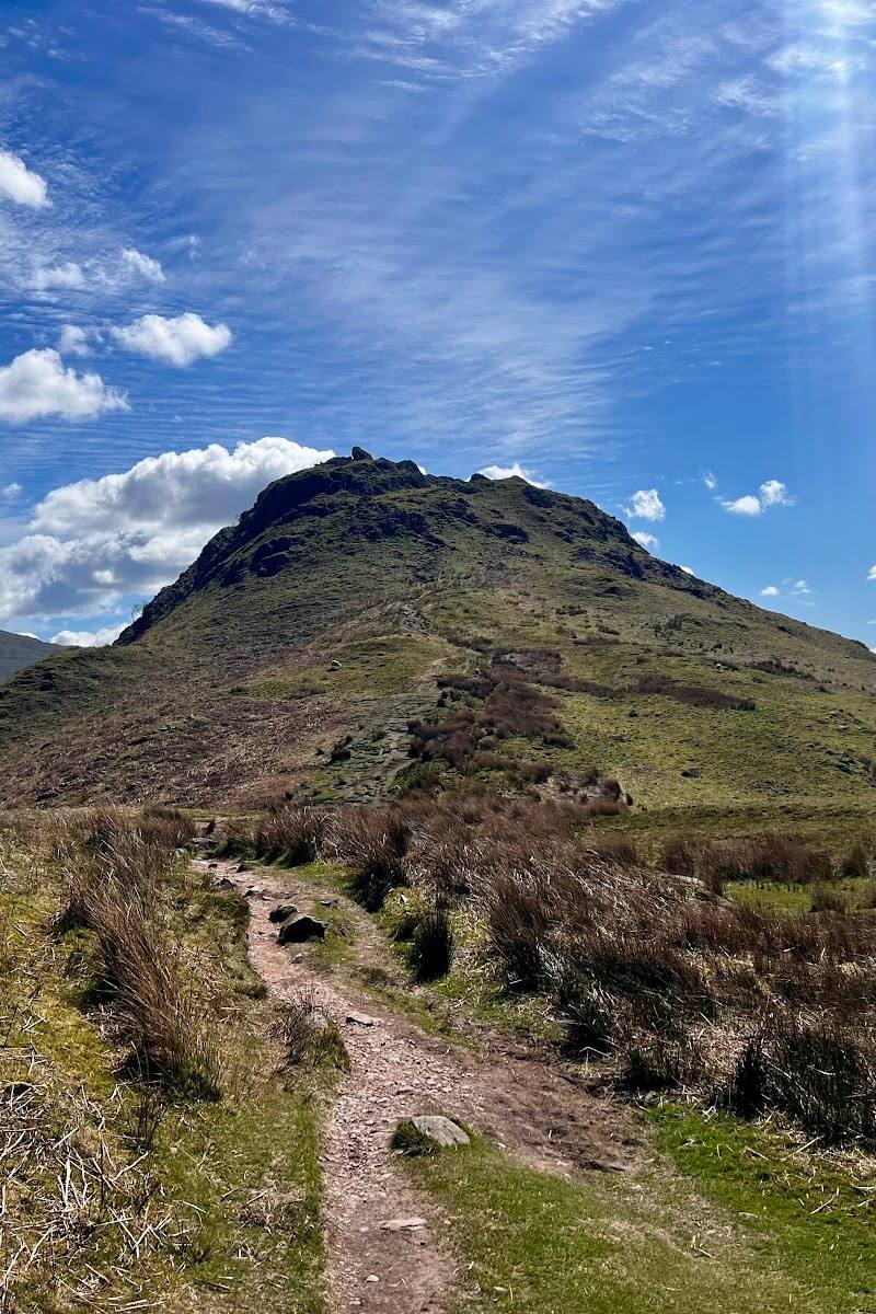
Loughrigg packs a varied fell experience into a relatively compact landscape: grassy paths, craggy ground, dry-stone walls and wide views over several lakes and valleys. The longer loop adds enough changing scenery to make it more than a quick summit dash.
Dramatic · Wild
Find your way
Open mapNear Ambleside, Lake District, Cumbria, England, LA22 9HQ
Opening map…
Know this place a little better?
The experience
Choose a short summit outing for the views, or take the approximately 6-mile loop from Ambleside or Grasmere for a longer circuit through woodland, craggy fell ground and dry-stone-wall country.
Things to do
Walk the Loughrigg loop
Take the described 6-mile loop from Rydal Road Car Park, with woodland, craggy fell scenery, dry-stone walls and views along the way. The route is undulating, with steep sections.
Just under 3 hours
Take in the summit views
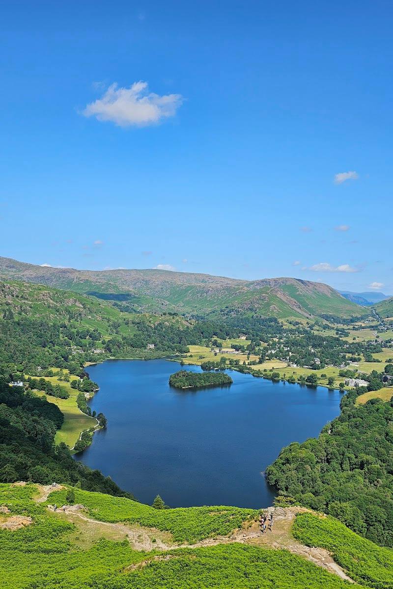
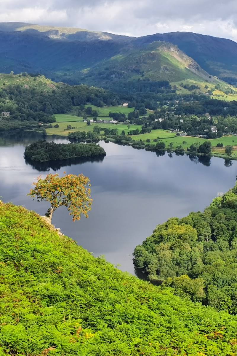
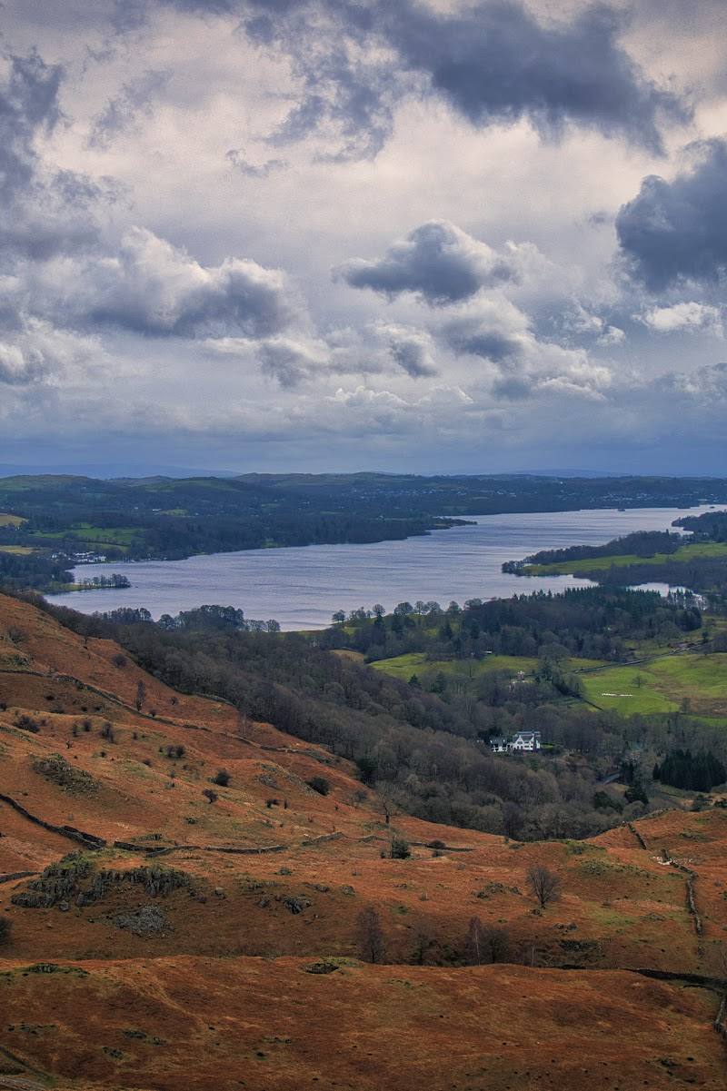
From the fell, look across Windermere, Grasmere, Rydal Water and the surrounding fells. Check wind and weather conditions before setting out.
Make a day of it
Quick escape · Check route and duration before setting out
Quick summit outing
- 01
Choose a suitable approach from Ambleside, Grasmere or Rydal.
- 02
Walk to the fell top and take in the views across the nearby lakes and fells.
- 03
Return by your chosen route.
Half day · Just under 3 hours for the described loop
Make a half day of the fell
- 01
Start from Rydal Road Car Park, checking current parking information before travelling.
- 02
Follow the approximately 6-mile loop, allowing time for its undulating ground and steep sections.
- 03
Pause at the summit and along the route for views over the lakes, woodland and surrounding fells.
Verified history
The supplied sources identify Loughrigg as a fell described in Alfred Wainwright’s guide to the Central Fells. They do not provide further independently supported historical details.
Hidden details
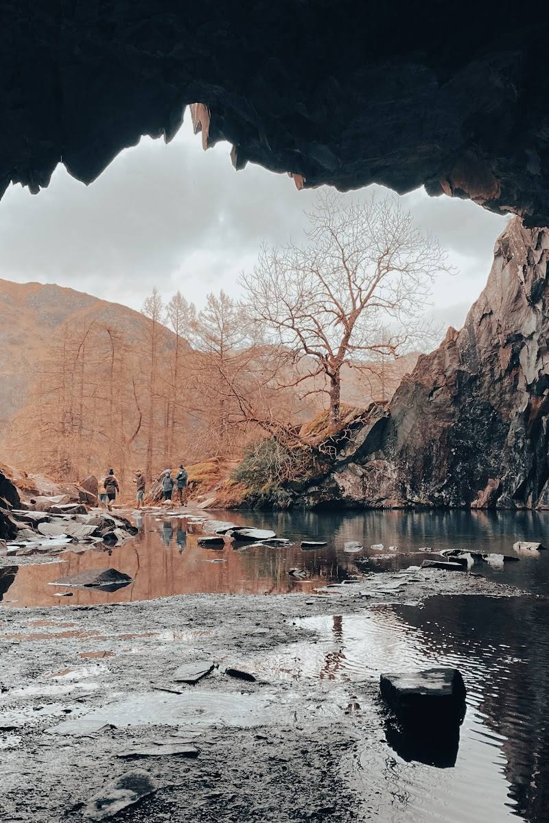
Quarry caves near Loughrigg Terrace — The supplied destination description notes quarry caves near Loughrigg Terrace. It does not establish access or whether entry is permitted, so treat them as a landscape feature to view only where safely and lawfully accessible.
When to go
· No particular time of day is established by the supplied sources. Check the forecast, especially for wind on the summit.
The supplied sources do not identify a preferred season.
A route source warns that winds at the summit can be severe. Check the forecast and be prepared for exposed conditions.
The route
- ascent
- 434 m elevation gain for the full loop
- surface
- Grassy paths and stony sections are indicated; confirm current conditions
- distance
- 6 miles (10 km) for the loop described by the supplied route source
- duration
- Just under 3 hours, as reported by the route source
- difficulty
- Moderate; the source describes an undulating loop with steep sections
- route shape
- Loop
- start point
- Rydal Road Car Park, according to the supplied route source
- parking start
- Rydal Road Car Park is named as the trailhead. Check current availability and charges.
- shorter alternative
- A shorter summit outing is possible, but the supplied sources do not provide a verified distance or duration for one.
- Views across Windermere, Grasmere and Rydal Water
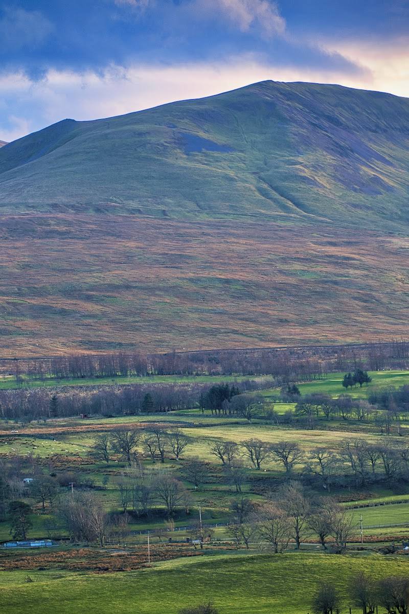
- Woodland and craggy fell scenery
- Dry-stone walls
- Summit views and a trig point noted in source-row review tags
What to look for
Look for the succession of views across Windermere, Grasmere and Rydal Water, along with grassy paths, craggy ground, dry-stone walls and the summit trig point noted in source-row review tags.
Best time to go
Check current conditions before setting out; the supplied sources do not identify a best season.
The supplied sources do not establish a best time of day. Check the forecast before setting out: the route source warns that summit winds can be severe.
How long to spend
1–2 hours, Half day
Perfect for
Walkers · Photographers
Before you go
Address
Google rating
Practical information
Opening & access
A hill-walking destination with approaches from Ambleside, Grasmere and Rydal. The supplied sources describe walking routes but do not confirm access rights or current path conditions; check before visiting. Access arrangements are unconfirmed. Check before visiting; do not enter private land or restricted structures.
Check before visiting
Parking
Rydal Road Car Park is identified as a trailhead by one supplied route source. Check availability and any charges before travelling.
Check before visiting
Toilets
Check before visiting
Check before visiting
Food & drink
Check before visiting
Check before visiting
Dogs
Check before visiting
Check before visiting
Accessibility
The described loop is undulating, includes steep sections and gains 434 m. It is not described as an accessible route; check conditions and route suitability before setting out.
Check before visiting
Cost
Check before visiting
Check before visiting
Water
Lake
Gallery
Place photographsKeep exploring
Around Loughrigg Fell
Within 50 km · approximate straight-line distances