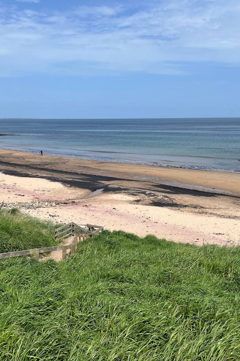
Mount Baker area, Washington, USA, according to the supplied trail report
Lake Wiseman
Lake
Place photograph
5.9
Wildland
Full day
Time
Check
Cost
Wild
Feel
Why it's Wildland
5.9A remote mountain lake reached, according to one account, by following streams and scrambling over boulders beneath the Twin Sisters range. The same report describes the terrain above the trees as spectacular—but this is not a casual lakeside stroll.
Lake Wiseman has the ingredients of a serious backcountry discovery: a mountain setting, an outlet stream and a demanding approach through rugged terrain. The available account also makes clear that reaching it may involve difficult navigation and hazardous crossings, so it is a place to research carefully rather than treat as an easy day out.
Wild · Remote
Find your way
Open mapMount Baker area, Washington, USA, according to the supplied trail report
Opening map…
Know this place a little better?
The experience
The supplied account describes a strenuous approach from the Elbow Lake trail area, using stream beds and creek crossings before scrambling up the outlet toward Lake Wiseman. It is a single 2016 trip report, not a maintained-route description or confirmation of present conditions.
Things to do
Study the approach before setting out
The 2016 account describes a challenging route involving stream beds, creek wading, boulders and substantial climbing. Use it as a warning about the terrain, not as a current route guide; verify access and conditions independently.
Allow a full day only if current authoritative route information supports the plan.
Take in the mountain setting if reached safely
The trip reporter describes Lake Wiseman below the Twin Sisters and views from a nearby knob toward the Twin Sisters and Mount Baker. The viewpoint required additional scrambling and should not be treated as an easy extension.
Make a day of it
Quick escape · Full day; one report describes a 10¾-hour round trip.
A carefully researched backcountry outing
- 01
First verify the correct location, current road and trail access, and conditions with an authoritative local source.
- 02
The supplied trip report describes starting from the Elbow Lake trail area, then taking a difficult off-trail approach involving creek travel, wading and scrambling toward Lake Wiseman.
- 03
Treat the report as historical firsthand experience, not as navigation instructions. Carry suitable navigation and equipment, and do not attempt crossings or terrain beyond your ability.
Hidden details
The outlet-stream approach — The trip report describes following the outlet stream toward the lake, with boulder scrambling on the way. This is a terrain detail from one visitor's account, not confirmation of a safe or maintained route.
When to go
· No supported recommendation. Plan around verified current conditions and daylight; the supplied report warns that its author was concerned about returning before sundown.
The only firsthand visit supplied took place in late August. It does not establish that this is the best or safest season.
Mountain weather and stream conditions can change. The supplied report describes a glacier-fed creek with significant flow and difficult wading; check current local conditions and forecasts before considering a visit.
What to look for
- 01
The outlet stream and the bouldery, grippy rock described on the approach. The report also mentions views from a nearby knob toward the Twin Sisters and Mount Baker
- 02
reaching that viewpoint involved further scrambling.
Best time to go
The supplied report describes a late-August visit, but does not establish a generally best season. Check current weather, access and trail conditions before planning.
No reliable seasonal recommendation is established by the supplied sources. The trip report dates from late August; check current conditions and weather before planning.
How long to spend
Full day; the reported outing took 10¾ hours round trip, including a difficult off-trail approach. This is one trip report, not a confirmed standard route.
Perfect for
Photographers · Walkers
Practical information
Opening & access
A 2016 trip report describes reaching the lake by a strenuous, largely off-trail route involving stream crossings, wading and scrambling. It does not establish current access or trail conditions. Check current official access and conditions before visiting; do not rely on the source-row directions. Access arrangements are unconfirmed. Check before visiting; do not enter private land or restricted structures.
Check before visiting
Parking
Check before visiting. The trip report mentions a parking area at the Elbow Lake trailhead, but does not confirm current vehicle access or parking availability.
Check before visiting
Toilets
Check before visiting.
Check before visiting
Food & drink
No food or drink services are verified by the supplied sources; check before visiting.
Check before visiting
Dogs
Check before visiting; no dog policy is verified.
Check before visiting
Accessibility
Not suitable to assume accessible: the reported approach involved stream wading, scrambling, steep elevation gain and off-trail navigation. Current access and route conditions are unverified.
Cost
Check before visiting
Check before visiting
Water
Lake; the trip report also describes an outlet stream and a glacier-fed creek on its approach. These details do not establish permission for swimming or paddling.
Gallery
Place photographsKeep exploring
Around Lake Wiseman
Within 50 km · approximate straight-line distances

 Place photograph5.2
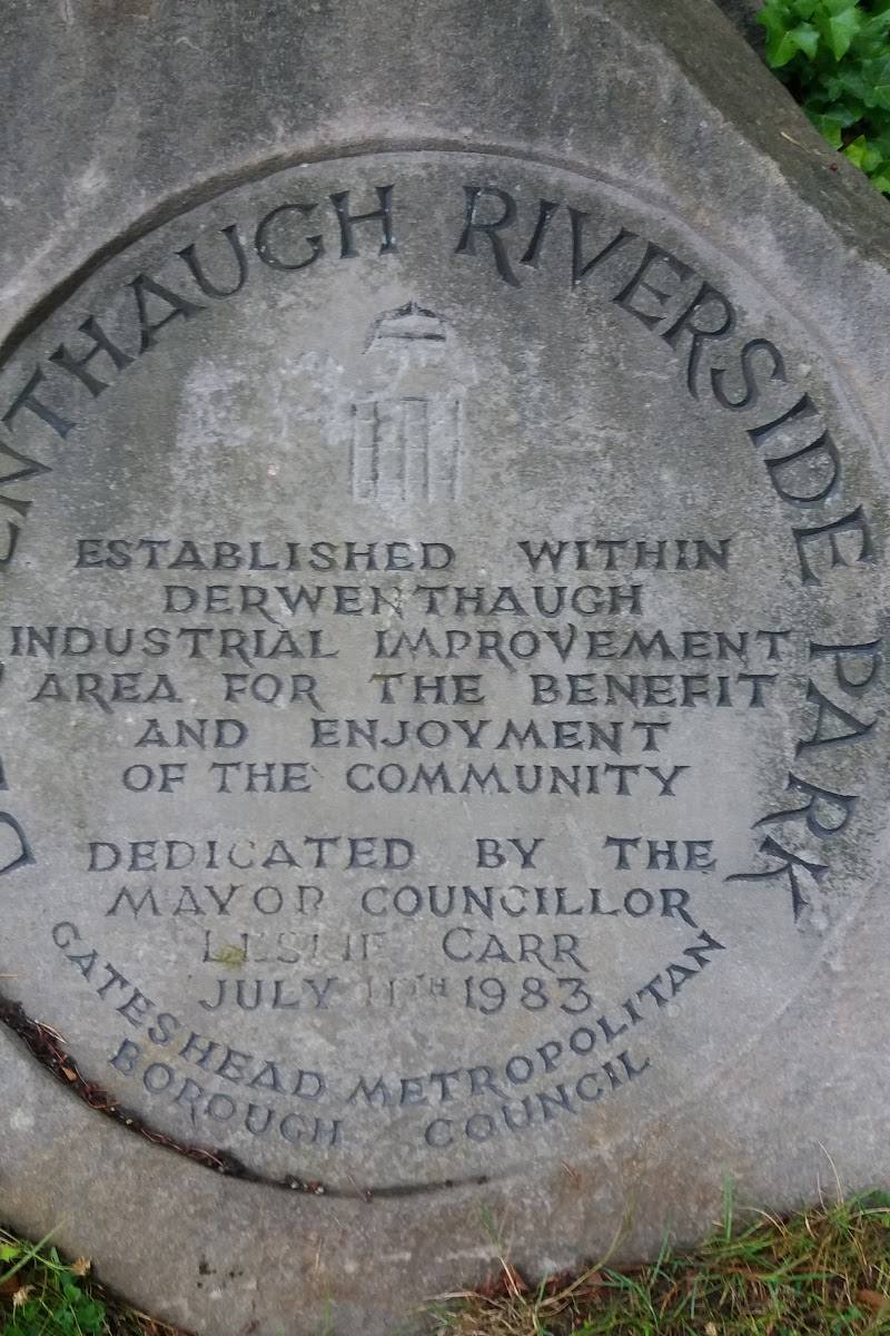
Derwenthaugh Riverside Park
Derwenthaugh, Gateshead, on the River Derwent
14.7 km away
 Place photograph5.2
Hebburn Riverside Park
Hebburn, south bank of the River Tyne, Tyne and Wear
16.7 km away
 Source image5.8
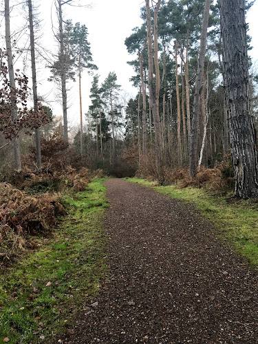
Thornley Woods Sculpture Trail
Thornley Woods, near Rowlands Gill, County Durham
17.1 km away