6.4
Wildland
Sections can be walked separately
Time
Check
Cost
Big-sky
Feel
Why it's Wildland
6.4Opened by Queen Elizabeth II at Buckingham Palace on 29 February 2012, the Jubilee Greenway links Olympic and Paralympic venues with parks and waterways across London. Its 60-kilometre length also marks the Queen’s Diamond Jubilee.
This is a substantial way to experience London beyond a single landmark: a route connecting parks, waterways and neighbourhoods, with glass markers that tie the walk to the city’s 2012 Games and Diamond Jubilee. Its appeal is the changing urban landscape, not a claim of wilderness.
Big-sky · Lively · Varied
Find your way
Open mapLondon, England
Opening map…
Know this place a little better?
The experience
Walk the Jubilee Greenway in manageable sections rather than treating it as one continuous outing. The official route account explains its 2012 origins; supplied section guides offer examples of shorter walks.
Things to do
Follow a Jubilee Greenway section
Walk a manageable section of the signed long-distance route rather than attempting the whole 60 km at once. Section 3 in Camden is described as a 7.4 km walk taking around 3 hours 30 minutes.
About 3 hours 30 minutes for the cited Camden section
Walk between Buckingham Palace and the Angel
A sourced 14.2 km point-to-point route passing through parks, along canal towpaths and through boroughs. The route guide advises care at road sections and crossings.
2.5–3 hours
Spot the Jubilee and Olympic route markers
Look for the specially made glass markers. The route account describes 60 markers wired with underground lighting to create an EIIR art feature at the main Olympic site in Stratford.
Make a day of it
Quick escape · About 3 hours 30 minutes; 7.4 km
A waterside section through Camden
- 01
Follow the supplied Jubilee Greenway Section 3 walk in Camden.
- 02
Take in the historic waterway, local markets, wildlife and culture described by the guide.
- 03
Use the guide’s route information to check refreshment and public-transport details before setting out.
Half day · About 2.5–3 hours; 14.2 km
Buckingham Palace to the Angel
- 01
Walk the supplied AllTrails route from Buckingham Palace to the Angel.
- 02
Expect a mix of parks, canal towpaths and borough streets.
- 03
Take care on road sections and at crossings; check the route map and current conditions before departure.
Verified history
The Jubilee Greenway was opened by Queen Elizabeth II at Buckingham Palace on 29 February 2012, accompanied by the Duke of Edinburgh and the Duke of Gloucester. Its 60-kilometre route links sites used for London’s 2012 Olympic and Paralympic Games and commemorates the Queen’s Diamond Jubilee. Special glass markers were designed by an East London community artist using recycled London glass; 60 were wired with underground lighting to form an EIIR feature at the main Olympic site in Stratford. The route account says it was used by residents and visitors travelling to competition venues during the Games.
Hidden details
The illuminated EIIR marker feature — At the main Olympic site in Stratford, the route’s official account describes 60 glass markers wired with underground lighting to create an EIIR art installation.
Glass made with recycled London material — The route’s glass markers were designed by a community artist in East London using recycled glass from London, linking the wayfinding to the Games’ stated sustainable principles.
When to go
· Not established by the supplied sources; choose daylight hours and check conditions for the selected section.
The supplied sources do not identify a season-specific advantage.
Check the forecast and section conditions before setting out. The cited AllTrails route includes road sections and crossings.
The route
- ascent
- 78 m for the cited Buckingham Palace–Angel section; full-route ascent not supplied
- surface
- Varied; cited route includes parks, canal towpaths, borough streets and road sections
- distance
- 60 km (34.2 miles) for the full route; supplied section examples include 7.4 km and 14.2 km
- duration
- No verified duration for the complete route; cited sections take about 3 hours 30 minutes and 2.5–3 hours respectively
- difficulty
- Not established for the full route; the cited AllTrails section is rated Moderate
- waymarking
- Special glass route markers are described by the official route source; continuity and current condition should be checked
- route shape
- Point-to-point sections; the full route starts and finishes at Buckingham Palace
- start point
- Buckingham Palace for the full route; section starts vary. The supplied E13 map pin is not verified as a start point.
- parking start
- Not established by the supplied sources; check transport and parking for the chosen section.
- shorter alternative
- Choose a published section rather than attempting the full 60 km; the supplied sources describe a 7.4 km Camden section and a 14.2 km Buckingham Palace–Angel route.
- Parks and waterways across London
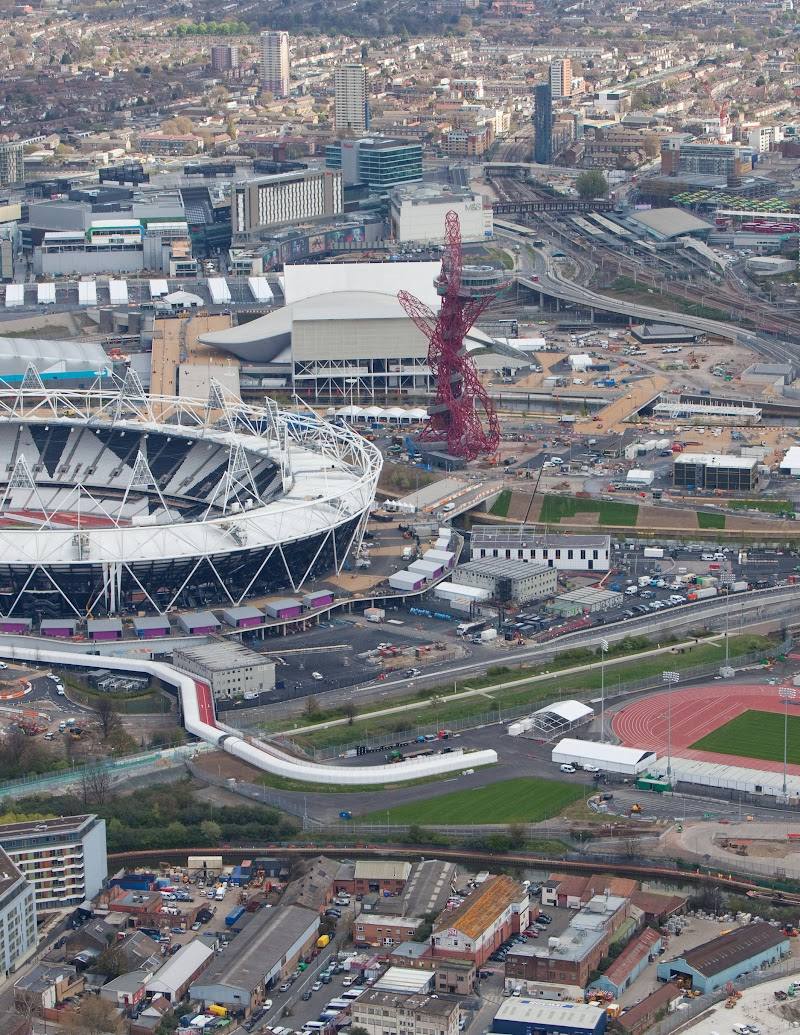
- Sites associated with the 2012 Olympic and Paralympic Games
- Glass markers commemorating the route and Diamond Jubilee
- The illuminated EIIR marker feature at the main Olympic site in Stratford
What to look for
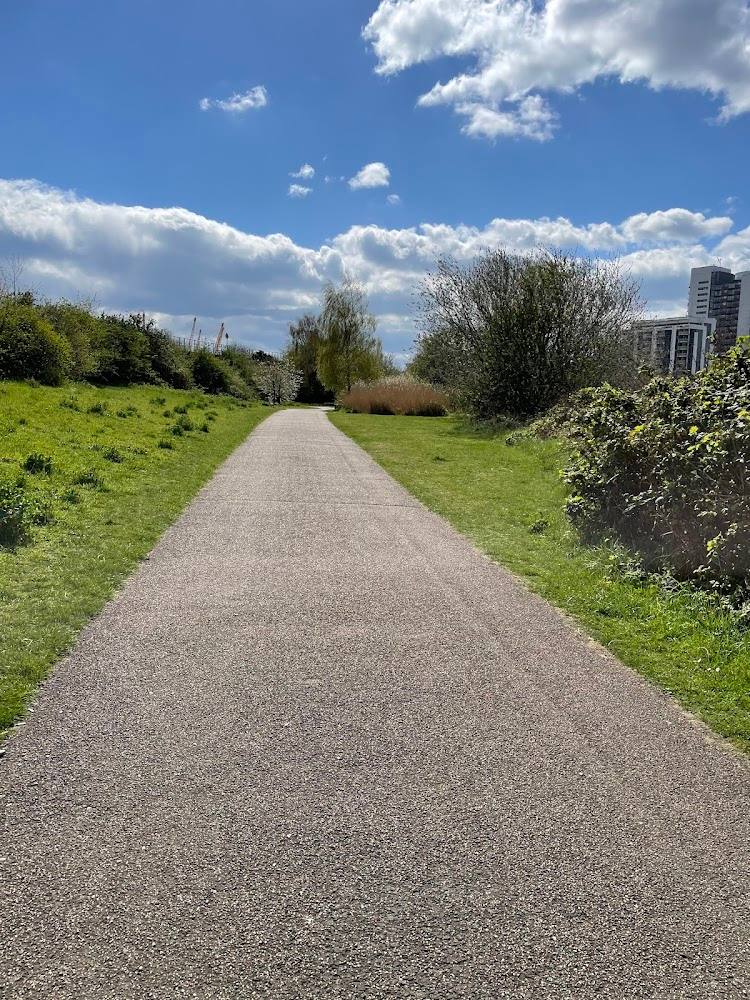
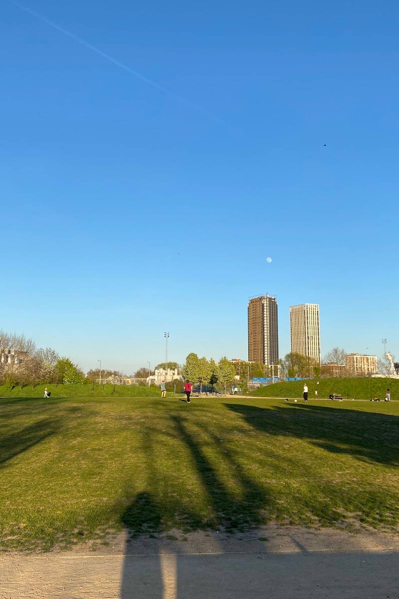
Look for the route’s glass markers, including the lit EIIR feature at the main Olympic site in Stratford, and notice how the route moves between parks, waterways and built-up neighbourhoods.
The story
Royalty, Industry, Literature
Best time to go
Not specified by the supplied sources; check conditions and daylight before walking.
No specific best season or time of day is established by the supplied sources. Check weather, daylight and conditions for your chosen section.
How long to spend
Sections can be walked separately; the complete route is 60 km. Allow multiple outings for a section-by-section visit.
Perfect for
Walkers · Photographers · History lovers · Cyclists
Route at a glance
Duration
Sections can be walked separately; the complete route is 60 km. Allow multiple outings for a section-by-section visit.
Terrain
Urban historic, Riverside
Parking / start
Parking and a verified trailhead are not established by the supplied sources. Check before visiting.
Before you go
Practical information
Opening & access
A 60-kilometre (34.2-mile) walking route linking London parks, waterways and sites used during the 2012 Olympic and Paralympic Games. The supplied sources describe the route but do not verify access conditions for every section; check current route information before setting out.
Check before visiting
Parking
Parking and a verified trailhead are not established by the supplied sources. Check before visiting.
Check before visiting
Toilets
Check before visiting
Check before visiting
Food & drink
The supplied section guides indicate refreshments along some sections; availability at the E13 map pin is unverified. Check before visiting.
Check before visiting
Dogs
The source row reports dogs allowed outside; check local restrictions along the route before setting out.
Check before visiting
Accessibility
One supplied route section is described as crossing parks, canal towpaths and boroughs, with some road sections and crossings requiring care. The source row reports a wheelchair-accessible entrance, but route-wide step-free accessibility is not verified.
Cost
Check before visiting
Check before visiting
Water
Canal, River, Lake
Gallery
Place photographs
Keep exploring
Around Jubilee Greenway
Within 50 km · approximate straight-line distances