Howe Dell, Hatfield, Hertfordshire, AL10 8FE
Howe Dell Woods
Broadleaf woodland
Source image
4.5
Wildland
1–2 hours
Time
Check
Cost
Peaceful
Feel
Why it's Wildland
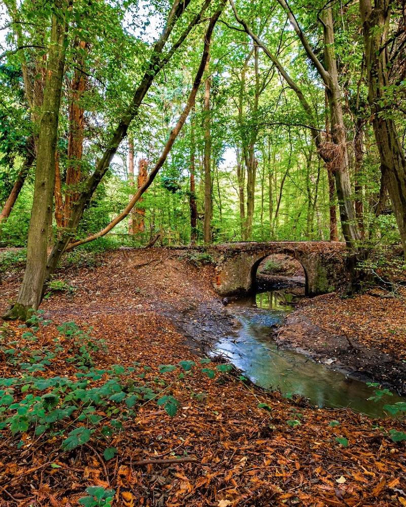
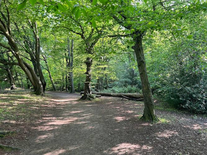
4.5A small woodland reserve shaped by water: a stream runs through a deeply cut valley beneath mature oak, hornbeam and beech, and disappears into a swallow hole at the north end. In wet winters, water can collect temporarily as a lake before draining into the chalk aquifer.
Howe Dell’s appeal lies in its unexpected landform and changing water: a wooded valley, a stream that vanishes underground and, in high winter water, a temporary lake. The council also notes locally known bluebells and level paths through the reserve.
Peaceful
Find your way
Open mapHowe Dell, Hatfield, Hertfordshire, AL10 8FE
Opening map…
Know this place a little better?
The experience
Follow the level paths through the wooded valley, enjoy views towards the stream and look for bluebells in spring. The reserve is small; no verified circuit length or visit duration is available.
Things to do
Walk the level paths
Explore the paths on both sides of the reserve and take in the wooded valley. The council describes the paths as level; it does not provide a route length.
Look for the stream and swallow hole
The stream runs at the bottom of the incised valley and disappears into a large swallow hole at the north end. The council says a lake can form in the reserve during periods of high winter water before draining into chalk aquifers.
Look for spring bluebells
The council describes Howe Dell as locally known for its bluebells. Their timing and abundance can vary from year to year.
Make a day of it
Quick escape · About 1–2 hours; exact duration not verified
A short woodland wander
- 01
Enter via Howe Dell or Honeysuckle Gardens.
- 02
Follow the level paths through the woodland reserve.
- 03
Pause for views towards the stream in the valley.
- 04
Look for mature oak, hornbeam and beech; if visiting in spring, look for bluebells.
Half day · Half day; suggested duration, not an official route time
Explore both sides of the wooded valley
- 01
Use one of the council-listed access points at Howe Dell or Honeysuckle Gardens.
- 02
Explore the level paths along both sides of the reserve, taking time to appreciate the stream and steeply cut wooded valley.
- 03
At the north end, look for the swallow hole described by the council.
- 04
If conditions and access allow, spend time in the surrounding meadow, which the council says is cut annually in autumn to allow wild flowers to grow and set seed.
Hidden details
A stream that disappears underground — At the north end of the reserve, the stream enters a large swallow hole. The council says water drains from the temporary winter lake into the chalk aquifers.
A lake that comes and goes — During periods of high winter water, a lake can form in the reserve and later drain into the chalk aquifers. It is a temporary feature, not a year-round lake.
When to go
April · May · December · January · February · No specific time of day is supported by the available sources; check local conditions before visiting.
The council notes bluebells and a meadow managed to allow wild flowers to grow and set seed. High winter water can create a temporary lake, though this is variable.
The reserve can experience high winter water and a temporary lake. Check conditions before visiting, particularly after wet weather.
What to look for
- 01
Look for mature hornbeam, oak and beech on the valley sides, the stream at the bottom of the valley, and the swallow hole at its northern end. Bluebells are noted locally
- 02
their appearance varies by season.
Best time to go
Spring for the locally noted bluebells; winter may bring temporary high-water conditions and a lake. Conditions vary.
Spring is a good time to look for the bluebells noted by the council. After wet winter weather, the reserve may hold temporary high water; check conditions before setting out.
How long to spend
1–2 hours
Perfect for
Walkers · Wildlife lovers · Families
Before you go
Address
Google rating
Practical information
Opening & access
Hatfield Borough Council describes access via Howe Dell or Honeysuckle Gardens, with level paths along both sides of the reserve. Check current access conditions before visiting.
Check before visiting
Parking
Parking information not verified. Check before visiting.
Check before visiting
Toilets
Check before visiting
Check before visiting
Food & drink
Check before visiting
Check before visiting
Dogs
Check before visiting
Check before visiting
Accessibility
The council describes level paths along both sides of the reserve. Surface condition, step-free access and suitability for specific mobility needs are not confirmed; check before visiting.
Check before visiting
Cost
Check before visiting
Check before visiting
Water
Stream
Gallery
Place photographsKeep exploring
Around Howe Dell Woods
Within 50 km · approximate straight-line distances
 Place photograph6.2
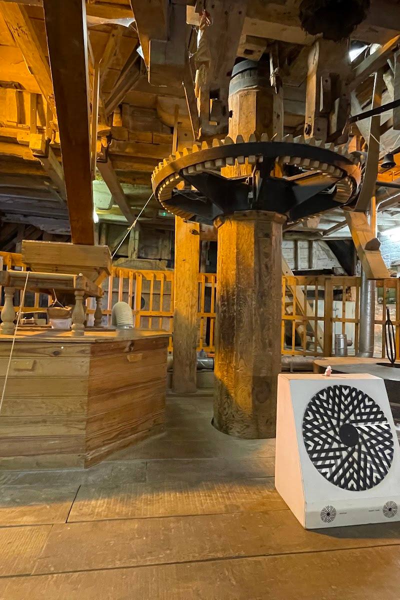
Mill Green Museum and Watermill
Mill Green, Hatfield, Hertfordshire AL9 5PD
2.1 km away

 Source image4.8
Lemsford Springs
Lemsford Village, Lemsford, Hertfordshire AL8 7TN, United Kingdom
4.3 km away
 Source image6.1
Gobions Wood
Off Mymms Drive, Brookmans Park, Potters Bar, Hertfordshire AL9 7AF
5.3 km away