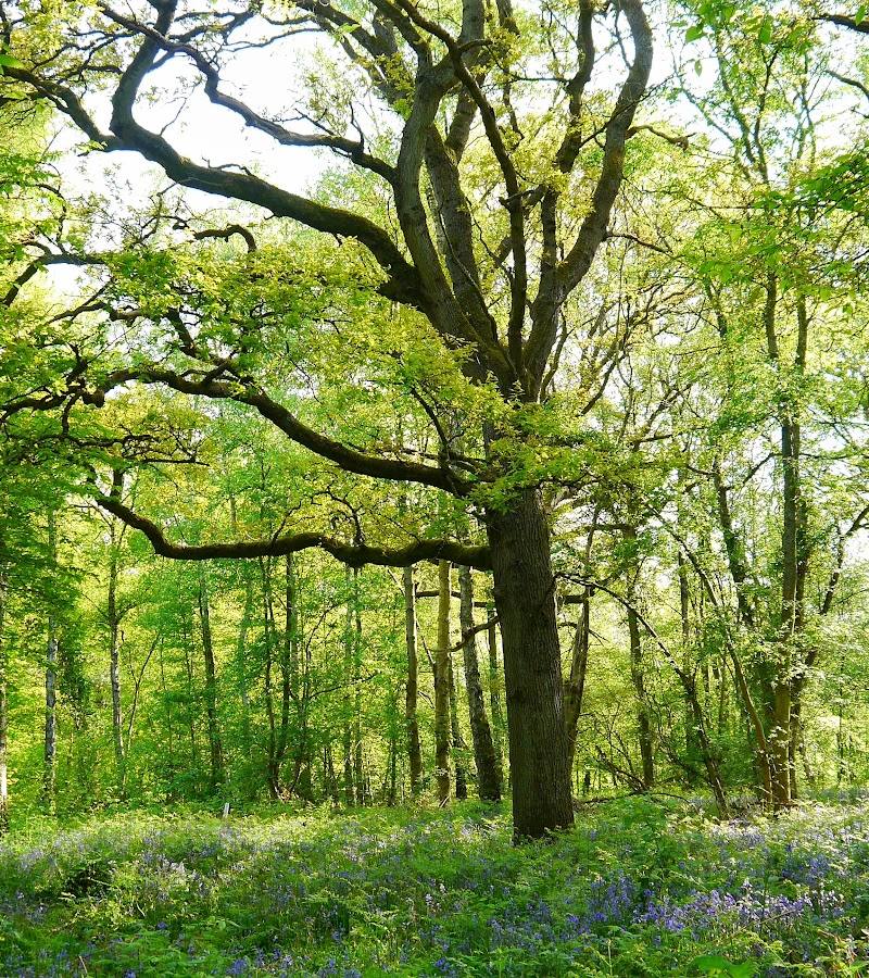
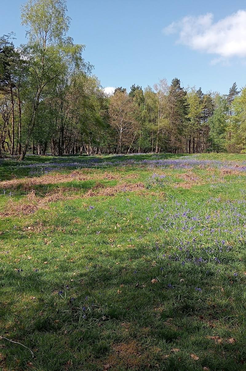
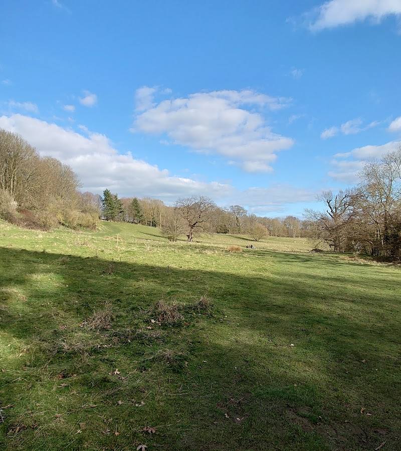
Hothfield Heathlands, near Hothfield, Kent
Hothfield Waterfall
Mixed-habitat reserve
Place photograph
5.3
Wildland
1–2 hours
Time
Check
Cost
Peaceful
Feel
Why it's Wildland
5.3The named waterfall is not confirmed by the supplied authoritative reserve source. What is verified is an 86-hectare heathland reserve with four waymarked routes and grazing animals present at various times of year.
The strongest verified draw is the breadth of the heathland reserve and its choice of waymarked walks, including an all-season accessible trail. Treat the waterfall as an unverified feature until confirmed locally; this listing is best approached as a walk across Hothfield Heathlands, not a guaranteed waterfall visit.
Peaceful · Wild
Find your way
Open mapHothfield Heathlands, near Hothfield, Kent
Opening map…
Know this place a little better?
The experience
Hothfield Heathlands is an 86-hectare reserve with four waymarked circular routes, including an all-season accessible Triangle Trail. The source material does not independently confirm the waterfall named in this listing, so plan a reserve walk rather than relying on a cascade being present.
Things to do
Follow a waymarked circular route
The reserve has four circular routes, identified by waymarker discs on wooden posts. Check signage and current conditions before choosing a route.
Try the Triangle Trail
Kent Wildlife Trust describes this as an all-season accessible trail. Check the current trail information for details before setting out.
Observe grazing animals from a distance
Cattle, ponies and sheep may be present at different times of year. Check reserve information boards for their current location, keep at least 10 metres away and do not pet them.
Make a day of it
Quick escape · Check route length and walking time before visiting.
A short waymarked reserve walk
- 01
Start at the reserve car park and follow a waymarked circular route suited to your time and conditions.
- 02
Choose the Triangle Trail if you want the route specifically described as all-season and accessible.
- 03
Return to the car park; do not rely on the waterfall being present without local confirmation.
Half day · Check route lengths and conditions before visiting.
Make a longer reserve visit
- 01
Explore one of the four waymarked circular routes.
- 02
If conditions and time allow, add another route or the Triangle Trail; check current maps and signage at the reserve.
- 03
Keep dogs under the reserve’s seasonal restrictions and give grazing animals at least 10 metres of space.
Hidden details
Find the route waymarkers — The four marked circular routes are indicated by discs on wooden posts; use them to identify and follow a signed circuit.
When to go
· Check before visiting; no preferred time of day is supported by the supplied sources.
The Triangle Trail is described as all-season. Other paths can become wetter and more eroded during heavy rain; no specific wildlife or waterfall season is verified by the authoritative source.
After heavy rain, paths may be wetter and more eroded. Expect uneven ground and possible rabbit holes on paths. Check current conditions before visiting.
What to look for
- 01
Look for the wooden-post waymarkers identifying the reserve’s four circular routes. Grazing animals may be present at different times of year
- 02
observe them from at least 10 metres and do not touch them. The named waterfall needs local confirmation.
Best time to go
Check current reserve information for seasonal conditions. The Triangle Trail is described as all-season; paths elsewhere can become wetter and more eroded in heavy rain.
Check the reserve’s current guidance before visiting. The Triangle Trail is described as all-season; paths can become wetter and more eroded during heavy rain.
How long to spend
1–2 hours
Perfect for
Walkers · Wildlife lovers · Families · Dogs
Practical information
Opening & access
Kent Wildlife Trust describes four waymarked circular routes, including the all-season Triangle Trail. The reserve is accessed from a large car park; paths become uneven, wetter and more eroded away from the entrance and after heavy rain. Check current access information before travelling.
Check before visiting
Parking
Kent Wildlife Trust reports a large car park with a 2m height barrier; compacted sand/gravel surface. Check current details before visiting.
Check before visiting
Toilets
No toilet facilities at the reserve, according to Kent Wildlife Trust.
Food & drink
Check before visiting.
Check before visiting
Dogs
Kent Wildlife Trust says dogs must be on leads across open habitat from March to September; in woodland they may be off lead but under control. Follow current signage and reserve guidance.
Accessibility
The all-season Triangle Trail is described as accessible. The pedestrian gate allows wheelchair access, but surfaces elsewhere can be uneven, eroded and wetter away from the car park. Check current trail conditions before setting out.
Check before visiting
Cost
Check before visiting
Check before visiting
Water
No verified water feature details supplied. The waterfall claim is not confirmed by the authoritative reserve source.
Gallery
Place photographsKeep exploring
Around Hothfield Waterfall
Within 50 km · approximate straight-line distances
 Place photograph5.8
Lashenden Air Warfare Museum
Headcorn Aerodrome, Shenley Road, Headcorn, Ashford TN27 9HX
12.6 km away
 Place photograph7.4
Port Lympne Hotel & Reserve
Aldington Road, Lympne, Hythe, Kent CT21 4LR
15.5 km away