Between East Grinstead and Groombridge, via Forest Row and Hartfield, East Sussex
Forest Way Country Park
route · Long-distance trail
Place photograph
6.6
Wildland
1–2 hours for a short out-and-back
Time
Check
Cost
Peaceful
Feel
Why it's Wildland
6.6A former railway line turned into a long, level green corridor through the High Weald, linking villages, fields and woodland between East Grinstead and Groombridge.
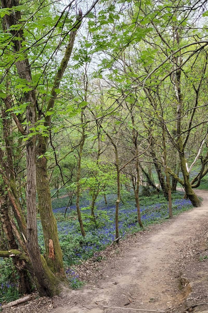
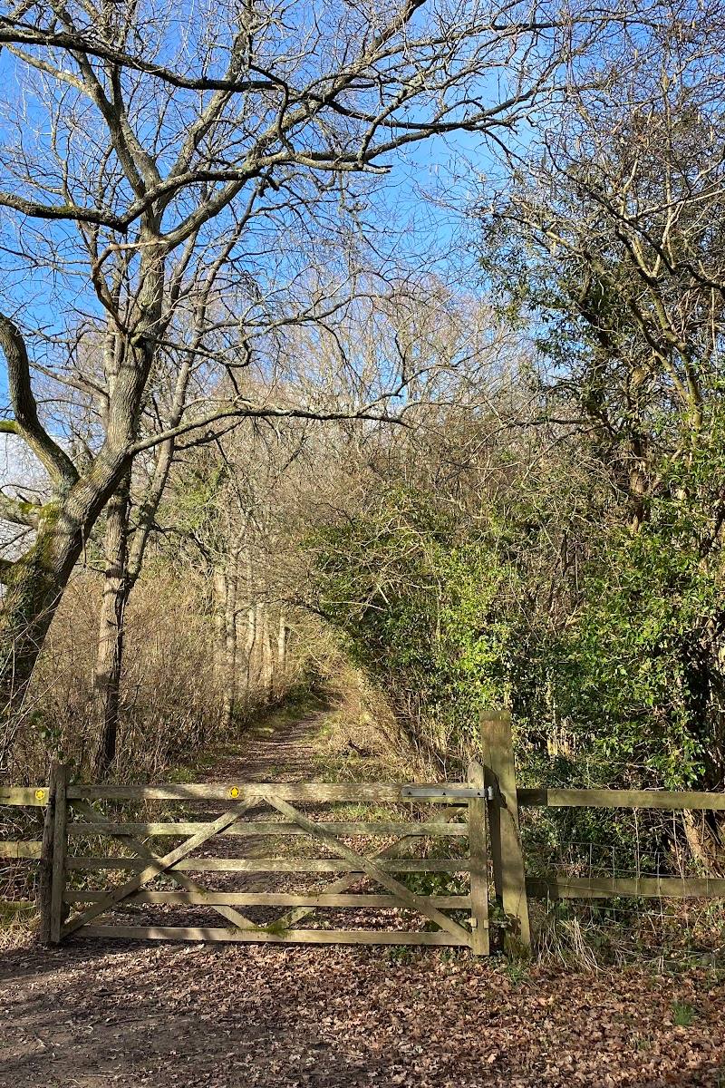
The Forest Way earns its place as a useful, wildlife-rich journey rather than a single viewpoint: its flat former-railway track threads through High Weald countryside, with a regenerated pond west of Hartfield and village stops along the way.
Peaceful · Big-sky
Find your way
Open mapBetween East Grinstead and Groombridge, via Forest Row and Hartfield, East Sussex
Opening map…
Know this place a little better?
The experience
Choose a short out-and-back from a suitable access point, or take on the full approximately 10-mile linear route between East Grinstead and Groombridge. The level surfaced track suits walking and cycling; remember it is shared with horse riders.
Things to do
Walk a section of the former railway
Follow the flat, surfaced traffic-free track through fields and wooded High Weald countryside.
Choose your own distance
Cycle the traffic-free route
The level path is described as suitable for families and less experienced or occasional cyclists. Share the route considerately with walkers and horse riders.
Choose your own distance
Look for wildlife at the restored pond
West of Hartfield, watch for damselflies and dragonflies, and possible glimpses of newts, toads and frogs.
Watch and listen for countryside wildlife
Among fields and woodland, look for swallows and badger tracks, and keep watch for deer and foxes.
Make a day of it
Quick escape · 1–2 hours
A short Forest Way out-and-back
- 01
Choose a convenient access point on the Forest Way and check local access information before setting out.
- 02
Follow the flat, surfaced track through the countryside, turning back when you have had enough.
- 03
If starting near Hartfield, consider the stretch west of the village for the restored pond and its wildlife.
Half day · Half day
Make a half day of the Forest Way
- 01
Walk or cycle a chosen section of the level route rather than attempting the full length.
- 02
Pause at the restored pond west of Hartfield and look for pond life in warm weather.
- 03
Use Hartfield or Forest Row as a village stop; check local food and facilities before travelling.
Full Wildland day · Full day
The full Forest Way journey
- 01
Plan a point-to-point journey of approximately 10 miles between East Grinstead and Groombridge.
- 02
Arrange transport or a return plan before starting; the route passes through or close to Forest Row, Hartfield and Withyham.
- 03
Allow time for pauses along the former railway corridor and check current transport and access arrangements.
Verified history
The Forest Way follows a disused railway. The supplied East Sussex County Council page states that the railway opened in 1866 and was closed in 1966. The route now forms a green corridor through the countryside.
Hidden details
A pond returning to wildness — West of Hartfield, a restored pond has been allowed to regenerate naturally. In warm summer weather, the council notes damselflies, dragonflies, amphibians and birdsong.
The old railway beneath the trail — The route follows a railway opened in 1866 and closed in 1966; the former transport corridor now serves as a wildlife green corridor.
When to go
· A warm summer day for pond wildlife; otherwise choose a time that suits your planned distance and check conditions.
The sources describe wildlife activity at the restored pond on hot summer days but do not establish a more precise seasonal peak.
No specific weather guidance is supplied. Check conditions before setting out.
The route
- surface
- Flat, surfaced track along the route
- distance
- Approximately 10 miles (16 km), East Grinstead to Groombridge
- difficulty
- Flat route; suitable for walkers and less experienced or occasional cyclists
- route shape
- Linear; links with the Worth Way at the western end
- start point
- East Grinstead end: TQ402 376, Herontye Drive. Groombridge end: TQ528 365, Corseley Road.
- parking start
- Parking information is not confirmed. Check before visiting.
- shorter alternative
- Choose a section for an out-and-back walk or ride; exact section distances are not supplied.
- Former railway corridor through the High Weald
- Restored pond west of Hartfield
- Fields, woodland and villages along the route
- Link with the Worth Way at East Grinstead
Worth pairing with
Forest Row
A village along or close to the route; toilets are reported there by East Sussex County Council. Check current facilities before visiting.
Worth Way
The western end of the Forest Way links with the Worth Way, extending the route towards Three Bridges.
What to look for
West of Hartfield, look around the restored pond for damselflies and dragonflies, and watch for signs of newts, toads and frogs. Along the route, keep an eye out for birdsong, swallows and badger tracks.
The story
Railway: the line opened in 1866 and was closed in 1966, according to the supplied council source.
Best time to go
Year-round; warm summer days are especially good for observing pond life west of Hartfield.
For pond wildlife, try a hot summer day west of Hartfield. For a longer journey, choose a day with conditions that suit your pace and check the route before setting out.
How long to spend
1–2 hours for a short out-and-back; Full day for the complete route
Perfect for
Walkers · Cyclists · Families · Young children · Dogs · Wildlife lovers
Route at a glance
Duration
1–2 hours for a short out-and-back; Full day for the complete route
Terrain
Woodland, Farmland
Parking / start
Parking details are not confirmed. Check before visiting.
Practical information
Opening & access
A roughly 10-mile, flat, surfaced, traffic-free shared-use route along a former railway. Used for walking, cycling and horse riding. Check current access and route conditions before setting out.
Check before visiting
Parking
Parking details are not confirmed. Check before visiting.
Check before visiting
Toilets
Toilets are reported at Forest Row; check current availability before visiting.
Check before visiting
Food & drink
Check before visiting.
Check before visiting
Dogs
Dogs should be kept under control and in sight. Keep them on a lead on paths shared with cyclists or horse riders.
Accessibility
A flat, surfaced track runs along the route and the council describes it as accessible for disabled users. Conditions and access needs may vary; check before visiting.
Check before visiting
Cost
Check before visiting
Check before visiting
Water
A restored pond lies west of Hartfield. No swimming or paddling permission is evidenced.
Gallery
Place photographs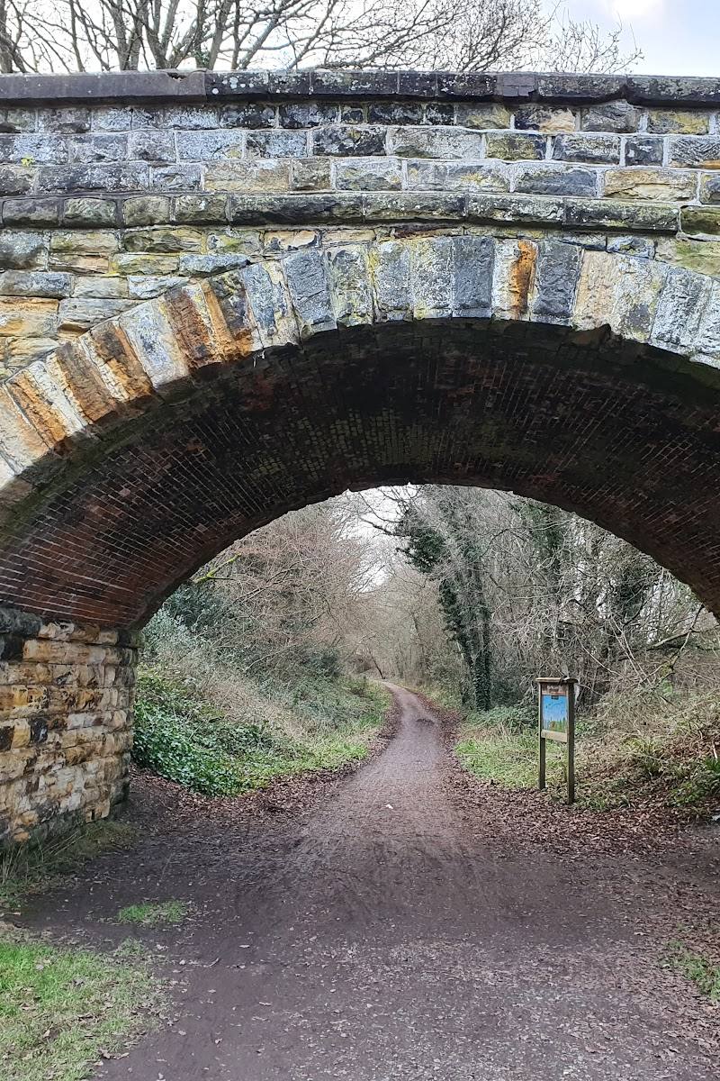
Keep exploring
Around Forest Way Country Park
Within 50 km · approximate straight-line distances
 Place photograph6.2
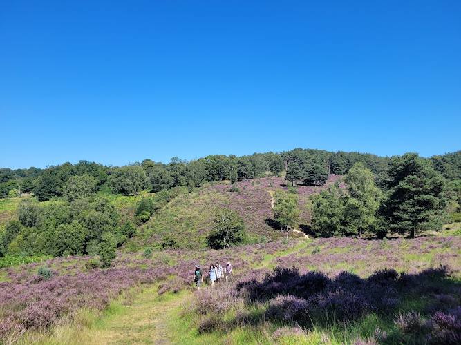
Forest Way
East Grinstead to Groombridge, through the High Weald, East Sussex
3.6 km away
 Source image6.2
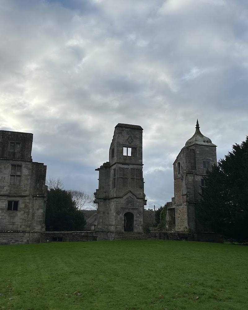
The Ruins of Brambletye House
Brambletye Lane, Forest Row, East Sussex RH18 5EH
6.2 km away