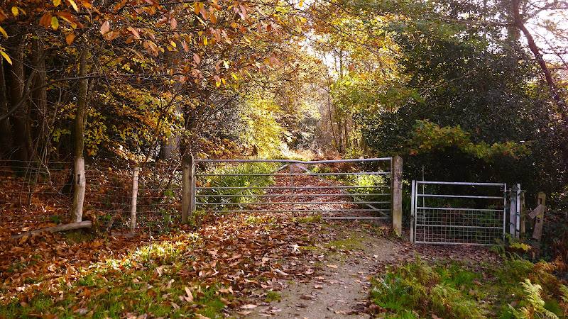
East Grinstead to Groombridge, through the High Weald, East Sussex
Forest Way
route · Countryside walk
Place photograph
6.2
Wildland
1–2 hours to a full day, depending on section and pace
Time
Check
Cost
Peaceful
Feel
Why it's Wildland
6.2A former commuter railway now carries walkers and cyclists through a green corridor of woodland, fields and villages in the High Weald.
Forest Way makes a long, easy-to-follow journey out of an old railway line: tree-covered cuttings, open views and village connections change the feel of the route as you travel. Its flat surfaced track is particularly useful for an accessible countryside outing, though the linear route needs a little planning at either end.
Peaceful · Family-friendly · Seasonal
Find your way
Open mapEast Grinstead to Groombridge, through the High Weald, East Sussex
Opening map…
Know this place a little better?
The experience
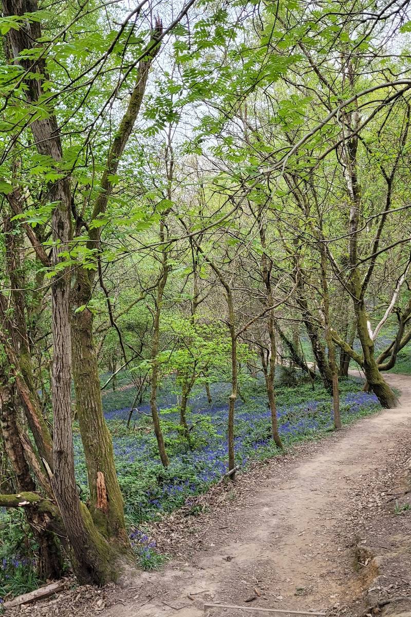
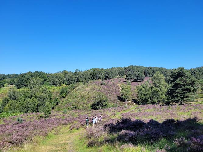
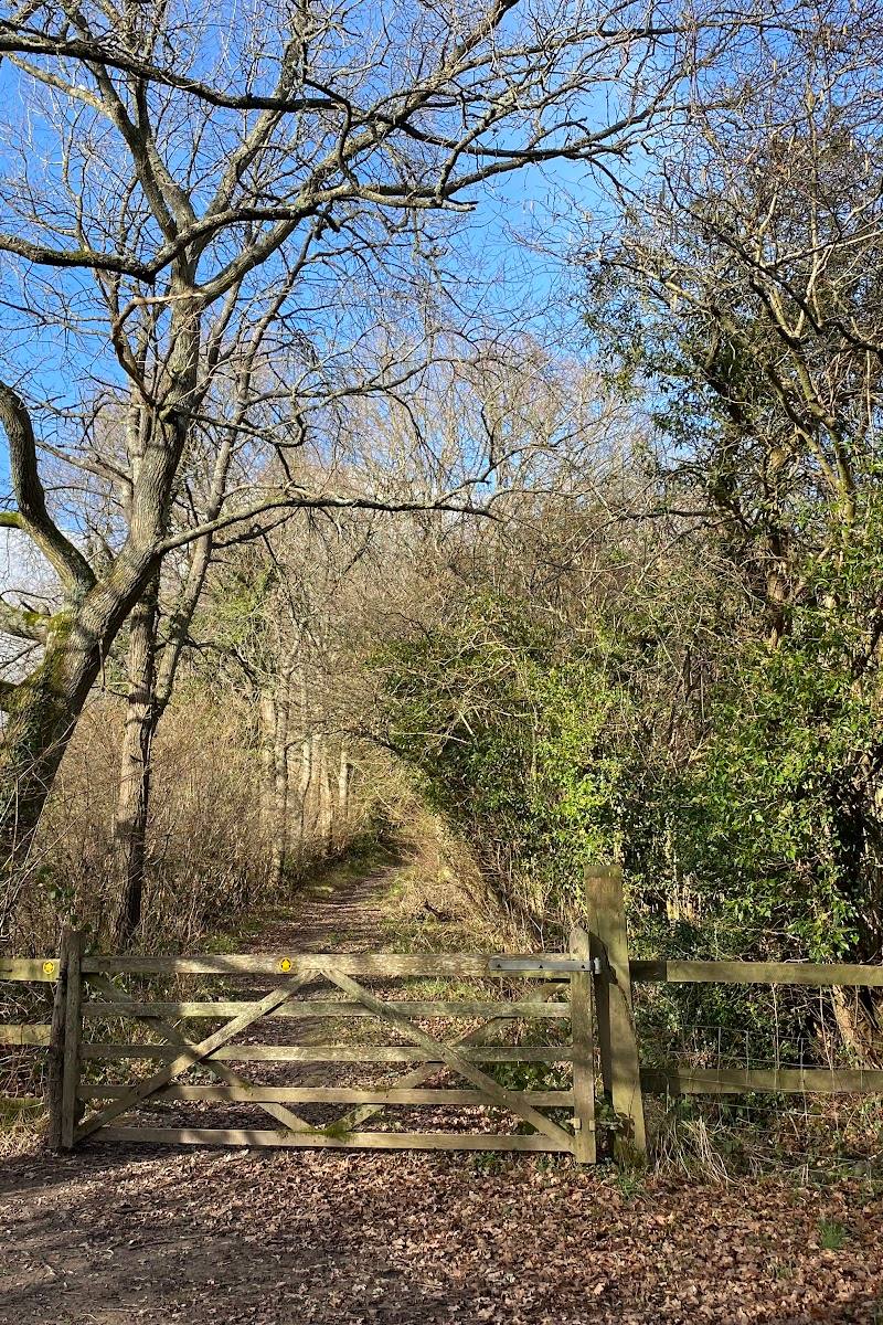
Choose a short section for an easy outing or follow the former railway further between villages. The full route is approximately 10 miles and linear, so plan how you will return or connect with transport. Watch how the tree cover, fields and views change along the way.
Things to do
Walk a section of the former railway
Follow the flat, surfaced shared-use path through the High Weald. The route is linear, so arrange your return before starting a longer section.
1–2 hours or longer
Cycle the traffic-free track
Use the surfaced route for an easy ride through woodland and countryside. Take care around walkers and horse riders; the county council asks cyclists to give way to pedestrians and horse riders.
Pause at the restored pond
West of Hartfield, look for the restored pond and watch for damselflies and dragonflies in hot summer weather. The county council also notes possible glimpses of newts, toads and frogs; sightings are not guaranteed.
Take a picnic break
The county council reports seats and picnic benches along the route. Bring what you need; food outlets are not verified by the supplied sources.
Make a day of it
Quick escape · 1–2 hours
A short Forest Way out-and-back
- 01
Choose an access point and check parking and return arrangements before setting out.
- 02
Walk a manageable section of the flat, surfaced former railway track.
- 03
Turn back when convenient, taking time to notice changes between tree-lined sections and open views.
Half day · Half day
Follow the former railway between villages
- 01
Plan a point-to-point section, checking transport or a return journey in advance.
- 02
Follow the surfaced route through woodland and fields, using the benches and picnic spots described along the way.
- 03
Make a village stop only if it fits your route and you have checked local facilities and transport.
Verified history
The railway opened in 1866 and ran along the line now followed by Forest Way. East Sussex County Council says it was closed under the Beeching cuts in 1966. The route is now a country park and green corridor; the supplied official source does not give a date for its conversion.
Hidden details
A railway remembered in the route — The level, linear course follows an old railway. As you walk, notice how this former transport line cuts through woodland and fields rather than following the bends of modern roads.
The pond west of Hartfield — A restored pond has been left to regenerate naturally. In hot summer weather, the county council reports damselflies, dragonflies, and possible glimpses of newts, toads and frogs.
When to go
· Weekdays may be quieter than weekends and school holidays, according to the source row. No specific time of day is verified.
The supplied source row describes spring and summer flowers and migratory birds, autumn colour, and quieter winter visits. East Sussex County Council notes that the pond is especially lively on hot summer days. Exact peak dates are not established.
The route is outdoors and conditions can affect the experience. Check local weather and route conditions before travelling; the supplied sources do not provide specific weather guidance.
The route
- surface
- Flat, surfaced track along the route
- distance
- Approximately 10 miles (16 km) end to end
- duration
- Not specified by the official source; allow time appropriate to pace and stops, and plan transport for the linear route.
- difficulty
- Easy, based on the flat surfaced track; individual access points and road crossings may affect the experience.
- route shape
- Linear, East Grinstead to Groombridge
- start point
- East Grinstead; the official source gives the Herontye Drive map reference, TQ402 376. The eastern end is Groombridge, Corseley Road, TQ528 365.
- parking start
- The supplied source row reports parking at multiple access points but gives no verified parking locations or availability. Check before visiting.
- shorter alternative
- Walk a chosen section as an out-and-back, or use one of the circular trails mentioned by East Sussex County Council; check a current map and transport before setting out.
- Woodland and fields along a former railway line
- Restored pond west of Hartfield
- Benches and picnic tables along the route
- Connection with the Worth Way at East Grinstead
Worth pairing with
Worth Way
At East Grinstead, Forest Way connects with Worth Way, which continues towards Three Bridges. Consider this only if you want to extend the journey and have planned your distance and return.
What to look for
West of Hartfield, look for the restored pond: East Sussex County Council reports that it can attract damselflies and dragonflies, with glimpses of newts, toads and frogs in hot summer weather. Along the route, notice the contrast between wooded sections and views across fields.
The story
Railway history
Best time to go
Year-round. Spring and summer bring flowers and activity around the restored pond; autumn adds colour. Check conditions before travelling.
Spring and summer are a good choice for flowers and activity around the restored pond. For a quieter visit, the source row recommends weekdays over weekends and school holidays; check conditions before travelling.
How long to spend
1–2 hours to a full day, depending on section and pace
Perfect for
Walkers · Cyclists · Families · Young children · Wildlife lovers · Photographers
Route at a glance
Duration
1–2 hours to a full day, depending on section and pace
Terrain
Woodland, Farmland
Parking / start
The source row reports parking at multiple access points, including Forest Row and Hartfield, but does not identify specific car parks or confirm availability. Check before visiting.
Practical information
Opening & access
A public, shared-use path along a former railway line, open to walkers, cyclists and horse riders. The flat surfaced track runs for approximately 10 miles. Check current access and route conditions before setting out.
Check before visiting
Parking
The source row reports parking at multiple access points, including Forest Row and Hartfield, but does not identify specific car parks or confirm availability. Check before visiting.
Check before visiting
Toilets
East Sussex County Council lists toilet facilities at Forest Row. Check availability before visiting.
Check before visiting
Food & drink
No café or pub is verified by the supplied sources. Check locally.
Check before visiting
Dogs
Dogs are permitted on the shared route. Keep dogs on a lead on the path and under control and in sight, as advised by East Sussex County Council.
Accessibility
East Sussex County Council describes the route as accessible for people with disabilities and confirms a flat, surfaced track along its full length. Individual access points, road crossings and current surface conditions may affect a particular journey; check before visiting.
Check before visiting
Cost
Check before visiting
Check before visiting
Water
A restored pond lies west of Hartfield. The supplied sources do not establish permission for swimming or paddling.
Gallery
Place photographs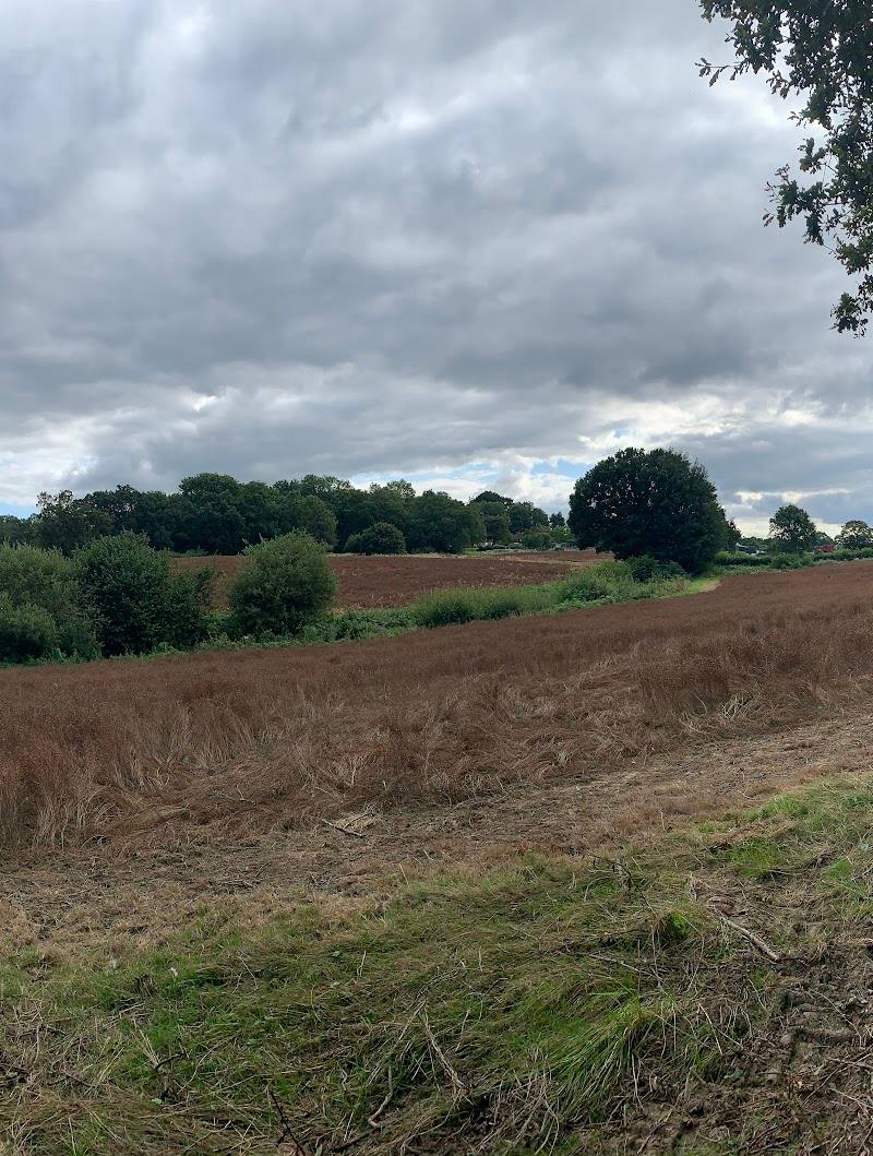

Keep exploring
Around Forest Way
Within 50 km · approximate straight-line distances