Glenariffe Road, Cargan, County Antrim BT44 0QX
Glenariff Forest Park
Forest recreation landscape
Place photograph
8.2
Wildland
1–2 hours for the short viewpoint trail
Time
Paid
Cost
Dramatic
Feel
Why it's Wildland
8.2Glenariff’s wooded glen gathers waterfalls, river gorge and long views into one striking walk: descend beside the cascades, then look back across a glacially formed valley towards the coast.
This is more than a forest stroll: a waterfall route passes through a National Nature Reserve, while a separate short viewpoint circuit opens out over the U-shaped glen and towards the sea. The combination of gorge, cascades and broad coastal outlook gives Glenariff real variety in a single visit.
Dramatic · Wild
Find your way
Open mapGlenariffe Road, Cargan, County Antrim BT44 0QX
Opening map…
Know this place a little better?
The experience
Choose between a short, clearly signposted viewpoint circuit and the longer waterfall walk through the forest gorge. The routes offer different perspectives on Glenariff: open views from the glen edge or a close encounter with its cascades. Check current trail conditions and charges before going.
Things to do
Walk the viewpoint loop
Follow the clockwise, clearly signposted 0.6-mile circular route through mature larch, past the glen-edge viewpoint and back through woodland and ornamental gardens.
About 30–60 minutes
Follow the waterfall walkway
Take the listed 1.9-mile loop through the forest reserve to see the waterfalls. Confirm current route conditions and any closures before setting out.
Look out from the glen-edge viewpoint
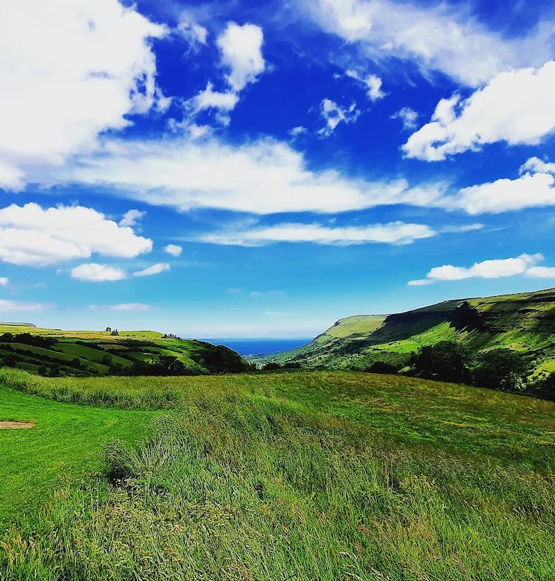
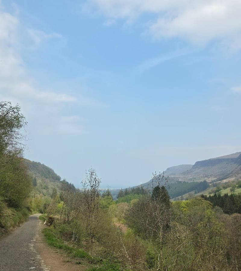
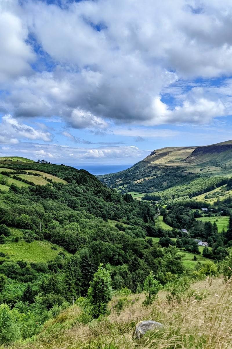
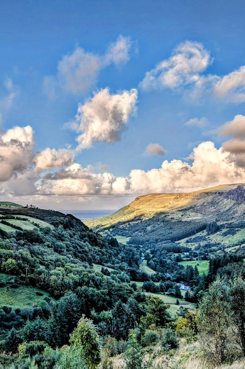
The viewpoint looks into the U-shaped glen and down towards the coast; WalkNI notes that the Mull of Kintyre can be seen across the sea.
Make a day of it
Quick escape · About 30–60 minutes; source lists the route as 0.6 miles.
Quick Escape: the viewpoint loop
- 01
Start at the forest park car park and follow the clearly signposted route clockwise.
- 02
Take the tarmac path through mature larch to the viewpoint at the edge of the glen.
- 03
Pause for views into the U-shaped valley and towards the coast, then continue past the café and through woodland and ornamental gardens back to the start.
Half day · Half day; allow extra time for the waterfall walk and the return climb.
Make a half day of it: waterfalls and the glen viewpoint
- 01
Check current trail status and parking arrangements before travelling.
- 02
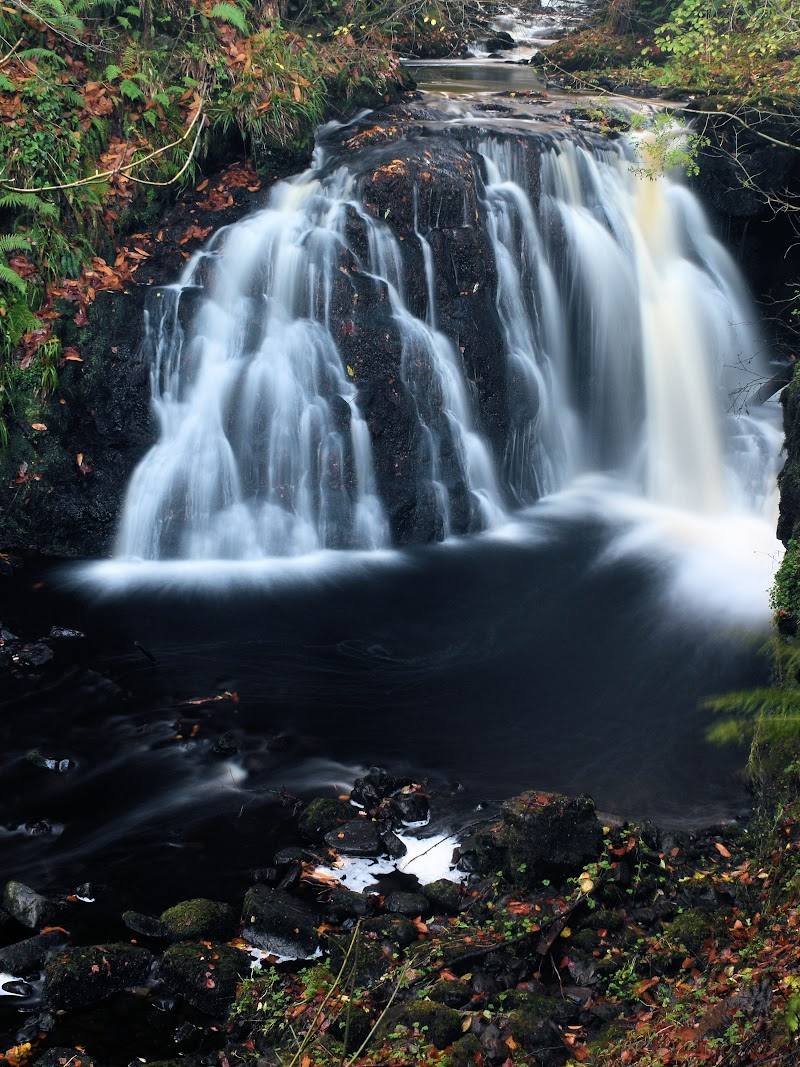
Take the Waterfall Walkway through the wooded gorge to see the cascades; the listed loop is 1.9 miles.
- 03
Add the 0.6-mile Viewpoint Trail for a contrasting outlook across the glen and towards the coast.
- 04
Use the park café or picnic areas if open and available; check current facilities before relying on them.
Verified history
The supplied sources describe a forest park containing a National Nature Reserve and a waterfall walkway said to have opened over 80 years ago. They do not provide a more detailed site history.
Hidden details
A sea view from the forest — At the Viewpoint Trail’s glen-edge outlook, look beyond the U-shaped valley towards the coast; WalkNI says the Mull of Kintyre is visible across the sea.
When to go
· Not specified in the supplied sources.
The supplied sources do not establish seasonal highlights or a best time to visit.
Check current weather and trail conditions before setting out; trails may be subject to diversion or closure.
What to look for
On the Viewpoint Trail, look for the U-shaped glen below and, on a clear day, the distant coast and Mull of Kintyre. On the waterfall route, watch for the sequence of cascades and the gorge-side walkway.
The story
Natural landscape; no specific historical account established by the supplied sources.
Best time to go
The sources do not establish a best season. Waterfalls are a strong focus; check weather and trail conditions before setting out.
No source establishes a best time of day. Check current trail conditions before setting out.
How long to spend
1–2 hours for the short viewpoint trail; allow longer for the waterfall walk or additional trails.
Perfect for
Walkers · Photographers · Families · Wildlife lovers
Before you go
Address
Google rating
Practical information
Opening & access
Forest park with waymarked trails, including the waterfall walkway. A fee is charged for parking and forest admission; check current access and trail conditions before travelling.
Check before visiting
Parking
Car park at the forest park; parking is chargeable. Current charges and conditions should be checked before visiting.
Check before visiting
Toilets
Toilets, including accessible toilets, are listed by the trail source. Check availability before visiting.
Check before visiting
Food & drink
A café is listed at the park. Check current opening arrangements.
Check before visiting
Dogs
Check current Forest Service guidance and on-site signage before visiting with a dog.
Check before visiting
Accessibility
The Viewpoint Trail is graded easy, but includes steep sections. WalkNI lists a wheelchair-accessible café, shop, visitors’ centre and disabled toilets; this does not establish that the trails themselves are accessible.
Cost
Paid
Water
River and waterfalls
Gallery
Place photographs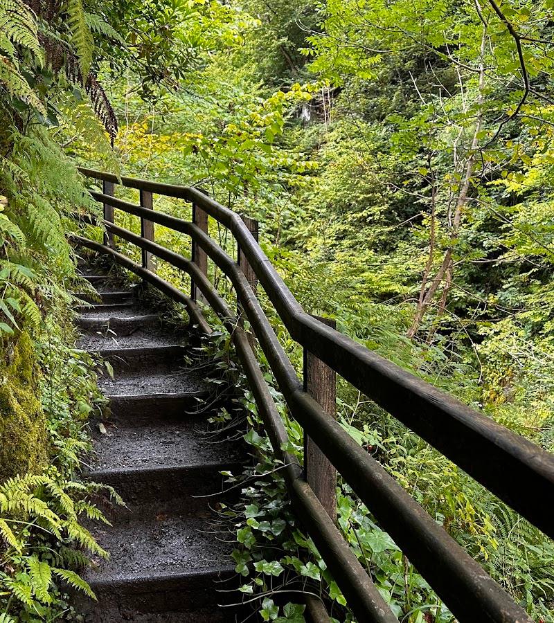
Keep exploring
Around Glenariff Forest Park
Within 50 km · approximate straight-line distances
 Place photograph7.2
Glenariff Waterfalls & Forest Park
Ballymena, County Antrim, Northern Ireland
0.3 km away
 Place photograph7.2
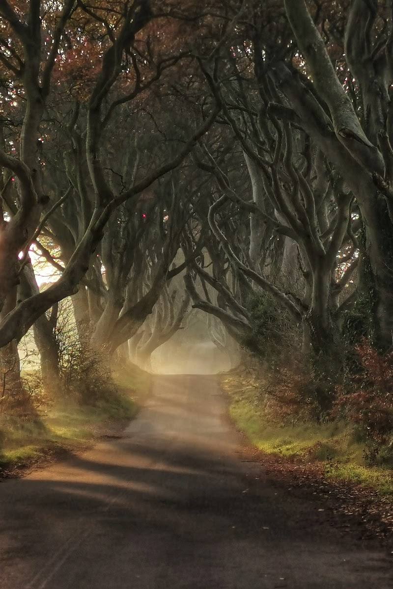
The Dark Hedges
Bregagh Road, near Stranocum, Ballymoney, County Antrim, BT53 8PX
20.5 km away