3.7
Wildland
Under 1 hour
Time
Free
Cost
Peaceful
Feel
Why it's Wildland
3.7A small London park with a compact woodland-edge circuit: the published route is about 1 km, flat and estimated at 30–60 minutes.
The appeal here is a brief change of pace rather than a remote wilderness: a level circuit links open grass with woodland on the edge of south-east London.
Peaceful
Find your way
Open mapWhitefoot Lane, London SE6 1UA
Opening map…
Know this place a little better?
The experience
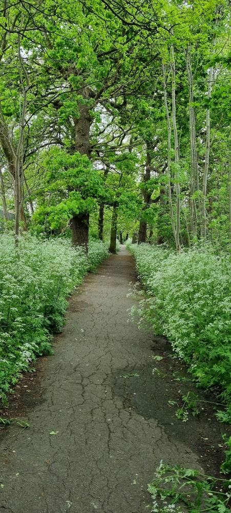
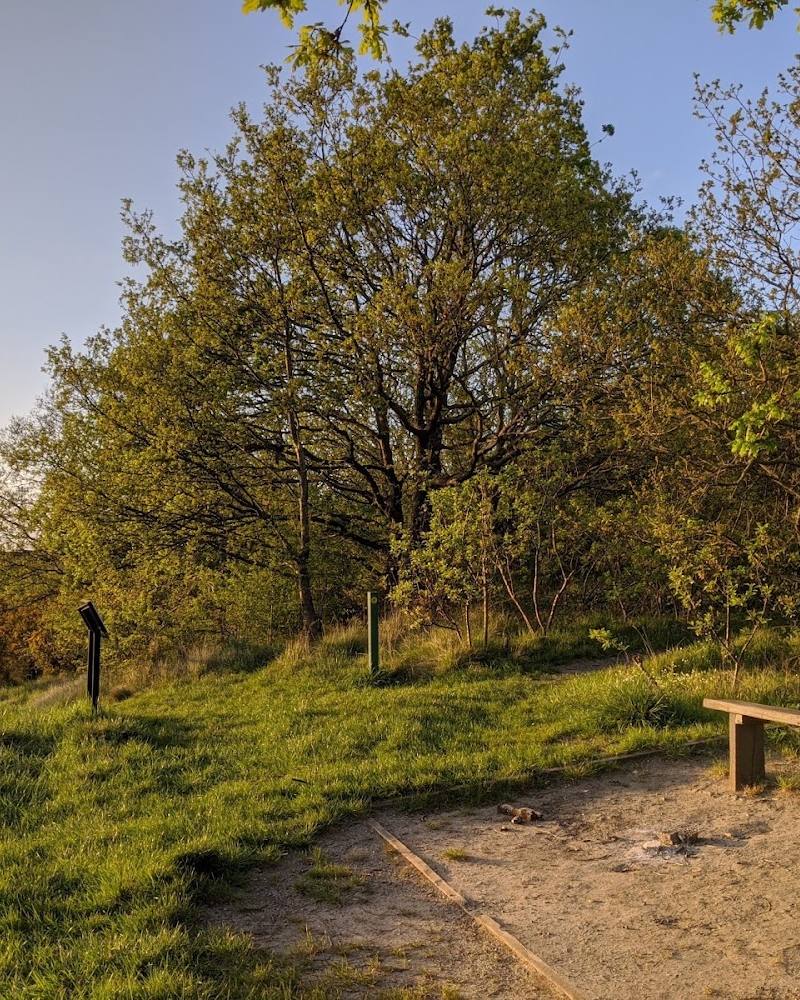
Follow the short, flat circular route along the grassy field and woodland edge. The published circuit is about 1 km and takes an estimated 30–60 minutes.
Things to do
Walk the short circular route
Take the approximately 1 km circuit along the grassy field and woodland edge. The route is described as flat, with most of its surface paved.
30–60 minutes
Make a day of it
Quick escape · 30–60 minutes
Quick Escape: the park circuit
- 01
Follow the approximately 1 km circular route along the edge of the grassy field and bordering woodland.
- 02
Return to your starting point; the route is described as flat throughout.
When to go
· No particular time of day is verified; check current conditions before visiting.
No seasonal highlights are supported by the supplied sources.
The described route is mostly paved, but current surface conditions are not verified.
What to look for
Notice the contrast between the open grass and the woodland bordering it. No specific wildlife or historic features are verified.
Best time to go
Year-round for a short walk; no specific seasonal highlight is verified.
No specific best time or seasonal conditions are verified. Check current conditions before setting out.
How long to spend
Under 1 hour
Perfect for
Walkers · Dogs · Families
Before you go
Address
Phone
Website
Google rating
Practical information
Opening & access
A short circular walk is described through the park’s grassy field and bordering woodland. Check current access and conditions before visiting. Access arrangements are unconfirmed. Check before visiting; do not enter private land or restricted structures.
Check before visiting
Parking
Free street parking is listed in the source record; check availability and restrictions before travelling. The supplied map pin marks the park, not an entrance or parking location.
Check before visiting
Toilets
A public toilet is listed in the source record; check availability before visiting.
Check before visiting
Food & drink
No café or food provision verified. The source record lists picnic tables.
Dogs
Dogs are allowed on lead on the described route, according to AllTrails. The source record also lists a dog park; check local signs for current rules.
Check before visiting
Accessibility
The circular route is described as flat, with most of its surface paved. The source record lists a wheelchair-accessible entrance and car park, but the route’s full accessibility has not been verified.
Cost
Free
Gallery
Place photographsKeep exploring
Around Forster Memorial Park
Within 50 km · approximate straight-line distances