Downham, London Borough of Lewisham
Downham Woodland Walk
route · Woodland walk
Source image
6.0
Wildland
Under 1 hour
Time
Check
Cost
Peaceful
Feel
Why it's Wildland
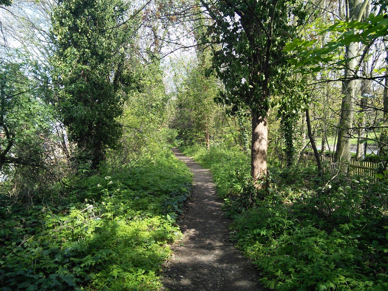
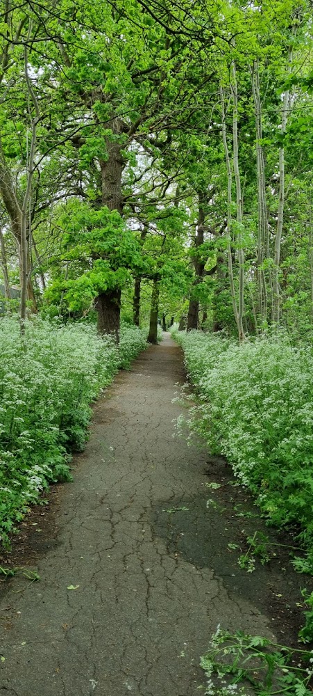
6.0A narrow woodland ribbon threading through Downham, with its strongest ancient-woodland character between Downderry Road and Moorside Road.
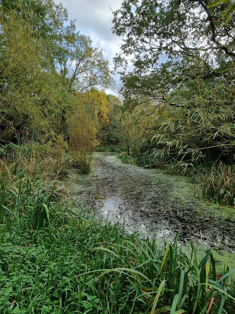
This is a short urban-edge walk with a surprisingly specific natural-history story: wild service trees, native bluebells and other ancient-woodland indicators survive among the houses. The best-supported section is between Downderry Road and Moorside Road.
Peaceful
Find your way
Open mapDownham, London Borough of Lewisham
Opening map…
Know this place a little better?
The experience
Allow around 20 minutes for the 1.3 km route listed by Go Jauntly. For the strongest woodland character, focus on the section between Downderry Road and Moorside Road, and look for the council’s named ancient-woodland indicator plants.
Things to do
Walk the 1.3 km route
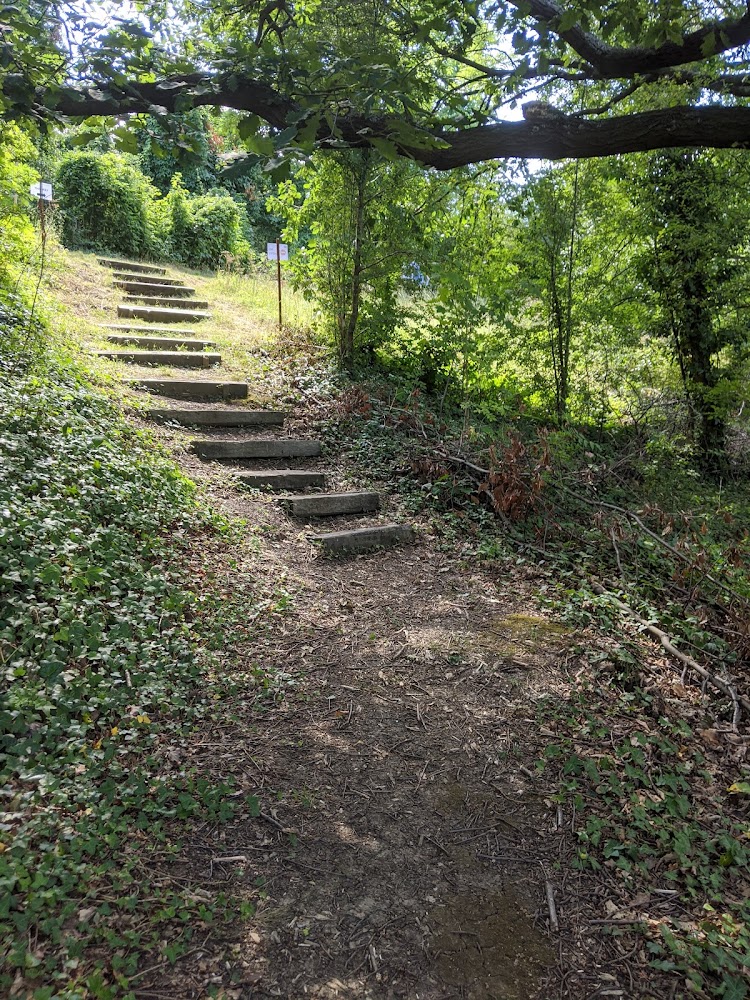
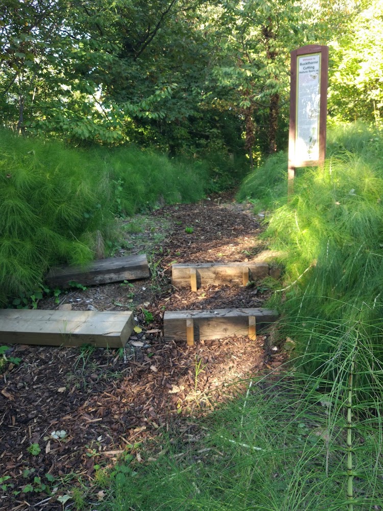
Go Jauntly lists a 1.3 km Downham Woodland Walk taking about 20 minutes. Its preview mentions an entrance on Moorside Road opposite Undershaw Road; use the route guide for directions.
About 20 minutes
Explore the best-preserved woodland section
Between Downderry Road and Moorside Road, the woodland is at its broadest, reaching up to 40 metres, and Lewisham Council describes its structure and flora as particularly good.
Look for ancient-woodland indicator plants
The council identifies wild service trees, native bluebells, wood anemone, dog’s mercury, remote sedge, wood millet, wood melick and wood meadow-grass among the site’s notable plants.
Listen and look for woodland birds
The council lists great spotted and green woodpeckers, treecreepers, long-tailed tits, bullfinches and willow warblers among the birds found here.
Make a day of it
Quick escape · About 20 minutes
Quick woodland loop-in
- 01
Use the Go Jauntly route for the listed 1.3 km walk.
- 02
Give particular attention to the broader woodland section between Downderry Road and Moorside Road.
- 03
Look for wild service trees and spring woodland flowers.
Half day · About 30–45 minutes; suggested allowance, not a published route duration
A closer look at the ancient-woodland plants
- 01
Follow the walk through the section between Downderry Road and Moorside Road, identified by Lewisham Council as the best section.
- 02
Pause to look for the council-listed indicators: wild service trees, bluebells, wood anemone, dog’s mercury and woodland grasses.
- 03
Compare this wider, more diverse section with the narrower woodland west of Downderry Road.
Verified history
Lewisham Council says the eastern section existed by 1805, while the woodland west of Downderry Road was planted between 1805 and 1862. The council describes much of the narrow strip as probably ancient woodland and identifies wild service trees and several ground plants associated with ancient woodland. The supplied sources do not establish a more detailed history of the surrounding estate.
Hidden details
Two wild service trees — Lewisham Council identifies two wild service trees in the woodland and notes that they are good indicators of ancient woodland.
A small patch of wood anemone and dog’s mercury — The council records a patch of these two ancient-woodland-associated plants growing side by side.
A possible old hedge line — Along the Woodbank Road section, the council suggests that a broken line of hawthorns beneath the oaks may mark an old hedge.
When to go
April · May · No best time of day is established by the supplied sources.
The council describes abundant bluebells and other woodland-floor plants; GoParksLondon also notes spring flowers and autumn fungi. Exact peak dates are not supplied.
Surface and muddy-condition information are not verified. Check conditions before visiting.
The route
- distance
- 1.3 km according to Go Jauntly; Lewisham Council describes the full woodland strip as just over 1.5 km
- duration
- 20 minutes according to Go Jauntly
- route shape
- Linear woodland route; Go Jauntly lists a 1.3 km walk. Full route geometry and precise endpoints are not established by the supplied material.
- start point
- Go Jauntly’s preview identifies an entrance on Moorside Road opposite Undershaw Road; confirm the route in its guide.
- parking start
- Parking and parking locations are not verified.
- The wider, more botanically diverse section between Downderry Road and Moorside Road
- Wild service trees
- Bluebells and other ancient-woodland indicator plants
- Woodland birds
What to look for
Look for wild service trees, native bluebells, wood anemone and dog’s mercury. The council also identifies remote sedge, wood millet, wood melick and wood meadow-grass as ancient-woodland indicators.
The story
Ancient woodland indicators and historic field boundaries.
Best time to go
Spring, especially when bluebells and other woodland flowers are in bloom; autumn is also noted for fungi.
Spring for bluebells and other woodland flowers; autumn for fungi. No more precise flowering dates are verified.
How long to spend
Under 1 hour
Perfect for
Walkers · Wildlife lovers · Photographers
Route at a glance
Duration
Under 1 hour
Terrain
Woodland, Urban historic
Parking / start
Parking information not verified; check before visiting.
Before you go
Practical information
Opening & access
A public woodland walk and nature reserve. GoParksLondon lists the reserve as open from dawn until dusk; check current conditions before visiting.
Check before visiting
Parking
Parking information not verified; check before visiting.
Check before visiting
Toilets
Check before visiting.
Check before visiting
Food & drink
Check before visiting.
Check before visiting
Dogs
GoParksLondon says dogs are allowed in its greenspaces; check current signage and any local restrictions.
Check before visiting
Accessibility
Go Jauntly marks the route as wheel-friendly, but surface and step-free access details are not established here. Check route conditions before setting out.
Check before visiting
Cost
Check before visiting
Check before visiting
Gallery
Place photographsKeep exploring
Around Downham Woodland Walk
Within 50 km · approximate straight-line distances