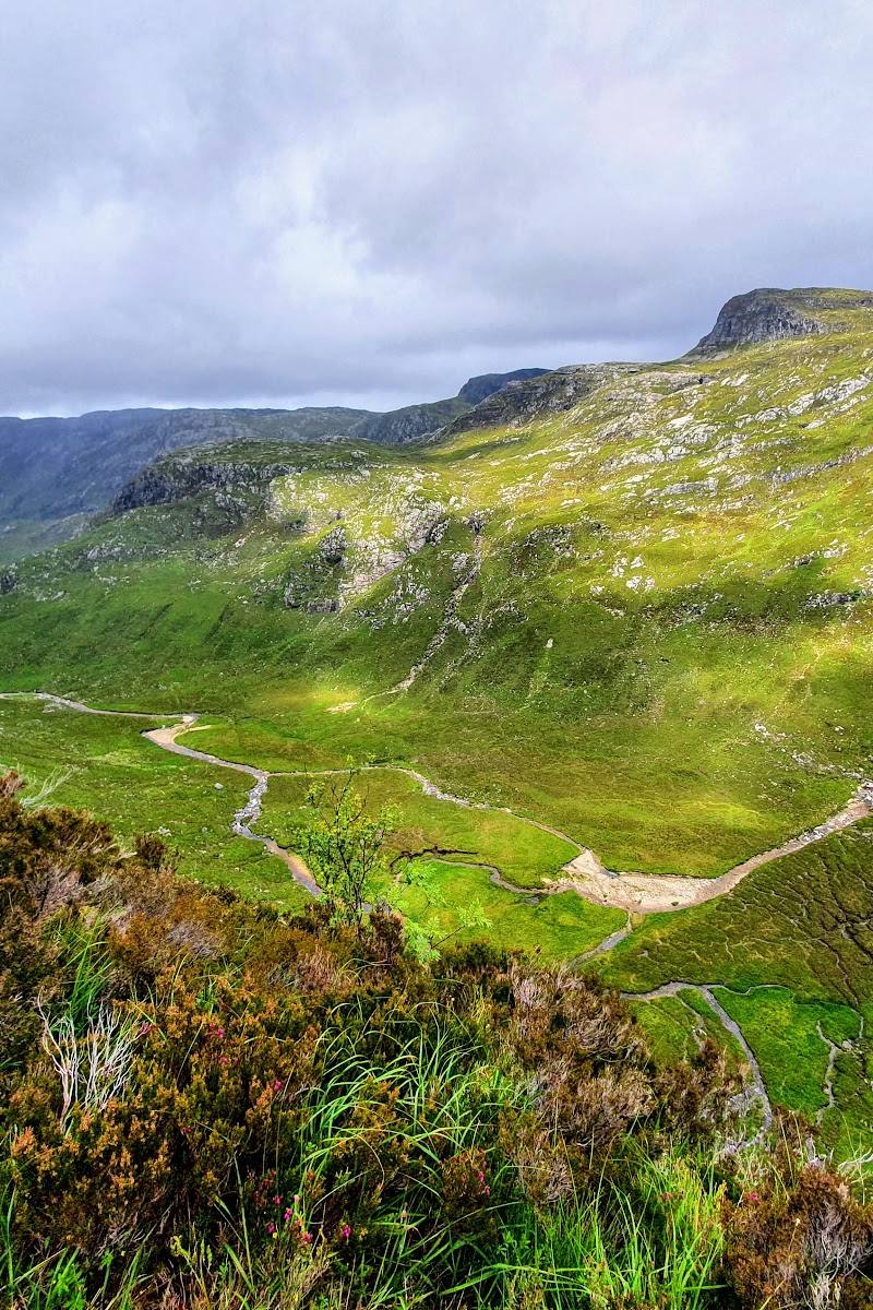
Near Loch Assynt and Kylesku, Highland, Scotland
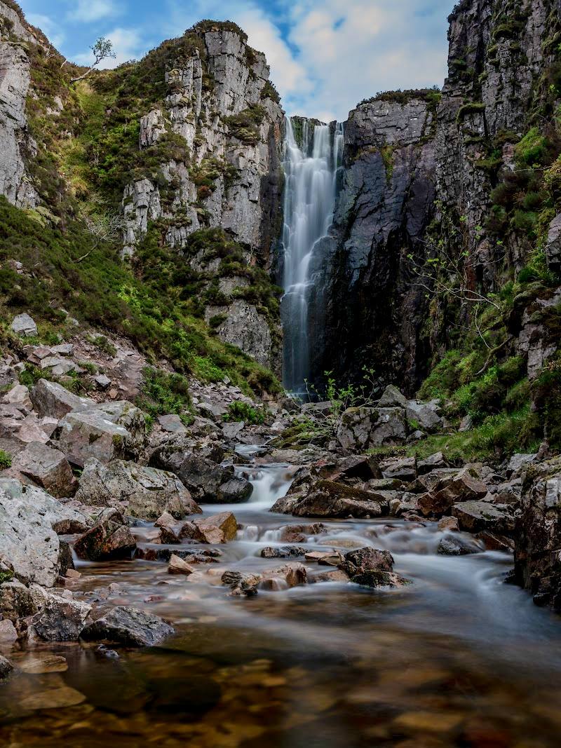
Eas a’ Chual Aluinn Waterfall
Waterside landscape
Place photograph
6.5
Wildland
Half day
Time
Check
Cost
Dramatic
Feel
Why it's Wildland
6.5A remote Highland waterfall reported as Britain’s highest above-surface fall, dropping about 200 metres into the landscape near Loch Beag.
Eas a’ Chual Aluinn pairs a remarkable reported drop with a genuinely remote Highland setting. It feels like a place to plan for, not a roadside stop: the documented approaches involve either viewing from a boat or taking on a long, difficult walk.
Dramatic · Wild · Remote
Find your way
Open mapNear Loch Assynt and Kylesku, Highland, Scotland
Opening map…
Know this place a little better?
The experience
Plan around a confirmed, suitable way to view the falls. A source describes a boat visit and a roughly 13-mile out-and-back hiking option, but the hike is difficult and its approach should not be assumed straightforward.
Things to do
View the waterfall from a boat
A supplied account describes visiting by boat. Confirm current availability and arrangements before travelling.
Make a day of it
Quick escape · Check with the boat operator
See the falls from the water
- 01
Confirm that a boat visit is available and check its departure point and conditions.
- 02
View the waterfall from the water if a suitable trip is operating.
Half day · Not verified; the source describes a 13-mile out-and-back hike
Plan the long walk only with current local information
- 01
Confirm the route, access and current ground conditions before leaving.
- 02
Treat the walk as a demanding outing; the source describes uncertainty about the approach and potentially dangerous exposed scrambling near the top of the falls.
- 03
Turn back rather than approaching exposed cliff edges.
Verified history
The supplied source reports Eas a’ Chual Aluinn as Great Britain’s highest above-surface waterfall, at about 658 feet (200 metres). This height claim is attributed to that source; no further historical account is supplied.
Hidden details
The name has more than one proposed meaning — The supplied waterfall account discusses different interpretations of the Gaelic name, including “waterfall of the beautiful tresses” and a translation associated with beautiful Glencoul. Treat these as reported interpretations, not settled fact.
When to go
· Not established by the supplied sources.
No seasonal guidance is supported by the supplied sources.
Check the forecast and ground conditions before travelling. The walking approach is described as difficult, with potentially dangerous exposed scrambling near the falls.
The route
- distance
- About 13 miles out and back, as described by the supplied source; verify the route before setting out.
- difficulty
- Difficult; the source also describes uncertainty about the approach and potentially dangerous exposed scrambling near the falls.
- route shape
- Out and back
- start point
- The source describes a possible approach from the A837 but does not verify a precise start point.
- parking start
- Check before visiting; no verified parking information supplied.
- shorter alternative
- A boat visit is described as an alternative; confirm current availability with the operator.
- The reported 200-metre waterfall
- Remote Highland surroundings
Worth pairing with
Lochinver Larder
Trip.com lists Lochinver Larder among nearby restaurant options, approximately 12.39 km from the waterfall. Check current opening and travel details.
What to look for
Look for the waterfall’s long drop against the surrounding Highland landscape. The supplied source gives a reported height of about 658 feet (200 metres) and identifies the falls at the end of Loch Beag.
Best time to go
Not established by the supplied sources. Check weather and ground conditions before travelling.
No best season or time of day is established by the supplied sources. Check the forecast and local conditions before setting out.
How long to spend
Half day
Perfect for
Walkers · Photographers
Before you go
Address
Website
Listed hours
- Monday: Open 24 hours
- Tuesday: Open 24 hours
- Wednesday: Open 24 hours
- Thursday: Open 24 hours
- Friday: Open 24 hours
- Saturday: Open 24 hours
- Sunday: Open 24 hours
Check before visiting.
Google rating
Practical information
Opening & access
Access is not confirmed. The supplied source describes visiting by boat or attempting a long, difficult walk; it notes uncertainty about the hiking approach and potentially dangerous exposed scrambling near the falls. Check current access and conditions before setting out. Do not approach the cliff edge. Access arrangements are unconfirmed. Check before visiting; do not enter private land or restricted structures.
Check before visiting
Parking
Check before visiting; no verified parking information supplied.
Check before visiting
Toilets
Check before visiting
Check before visiting
Food & drink
Nearby restaurants are listed by Trip.com, but availability and opening details are not verified; check before visiting.
Check before visiting
Dogs
Check before visiting
Check before visiting
Accessibility
The described hike is long and difficult, with potentially dangerous exposed ground near the falls. No accessible route is verified.
Cost
Check before visiting
Check before visiting
Water
Waterfall
Gallery
Place photographsKeep exploring
Around Eas a’ Chual Aluinn Waterfall
Within 50 km · approximate straight-line distances

 Place photograph6.0
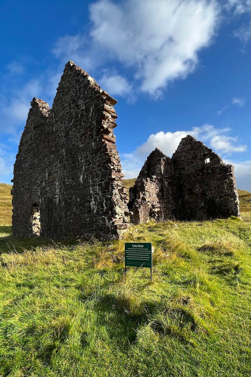
Calda House
On the A837 beside Loch Assynt, near Inchnadamph, Sutherland
5.7 km away
 Place photograph8.2
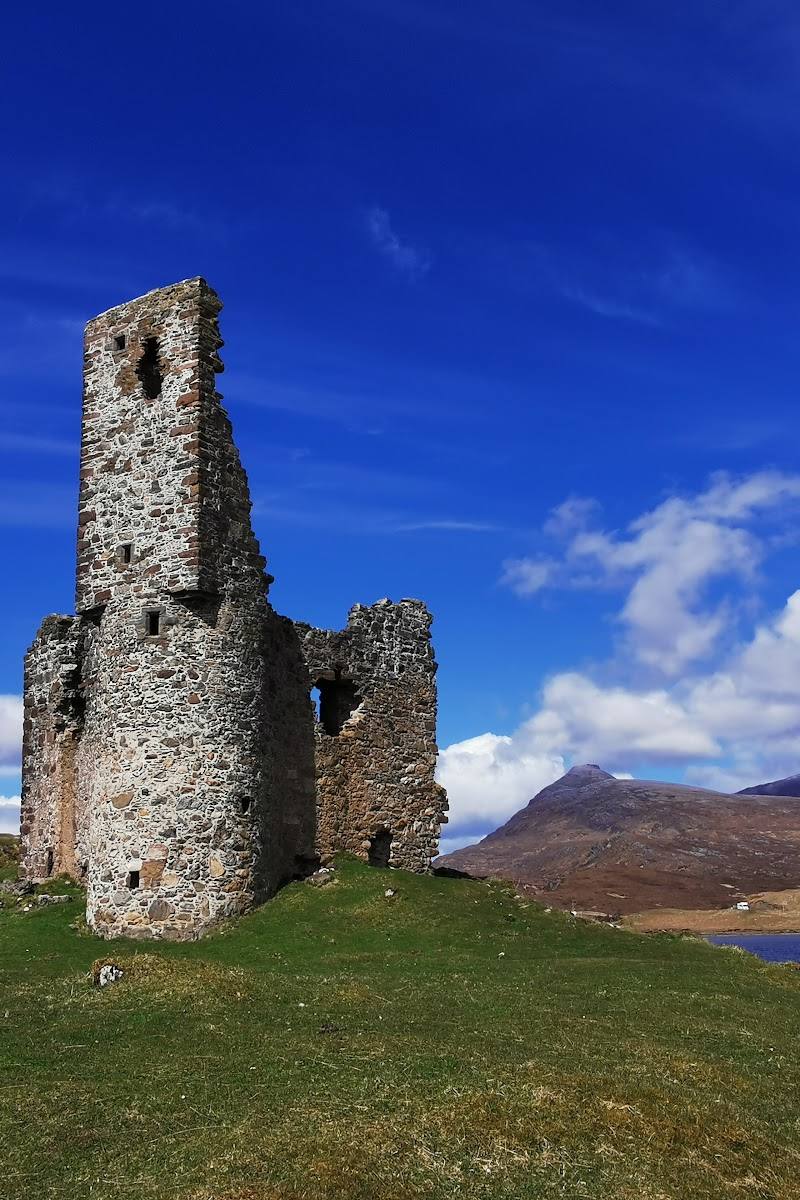
Ardvreck Castle
Loch Assynt, near Lairg, Sutherland, Scottish Highlands
5.7 km away