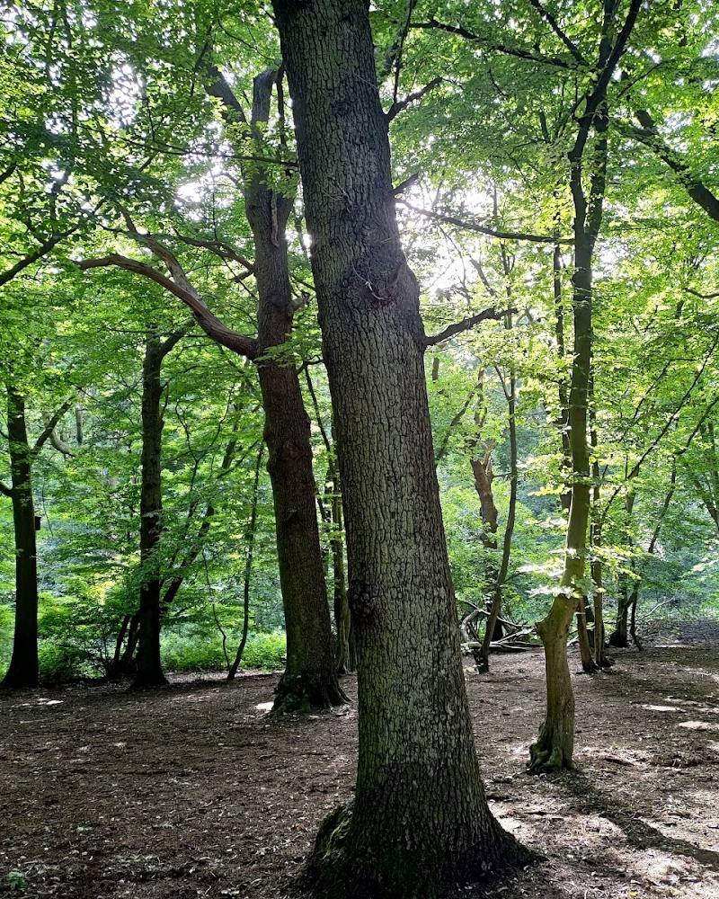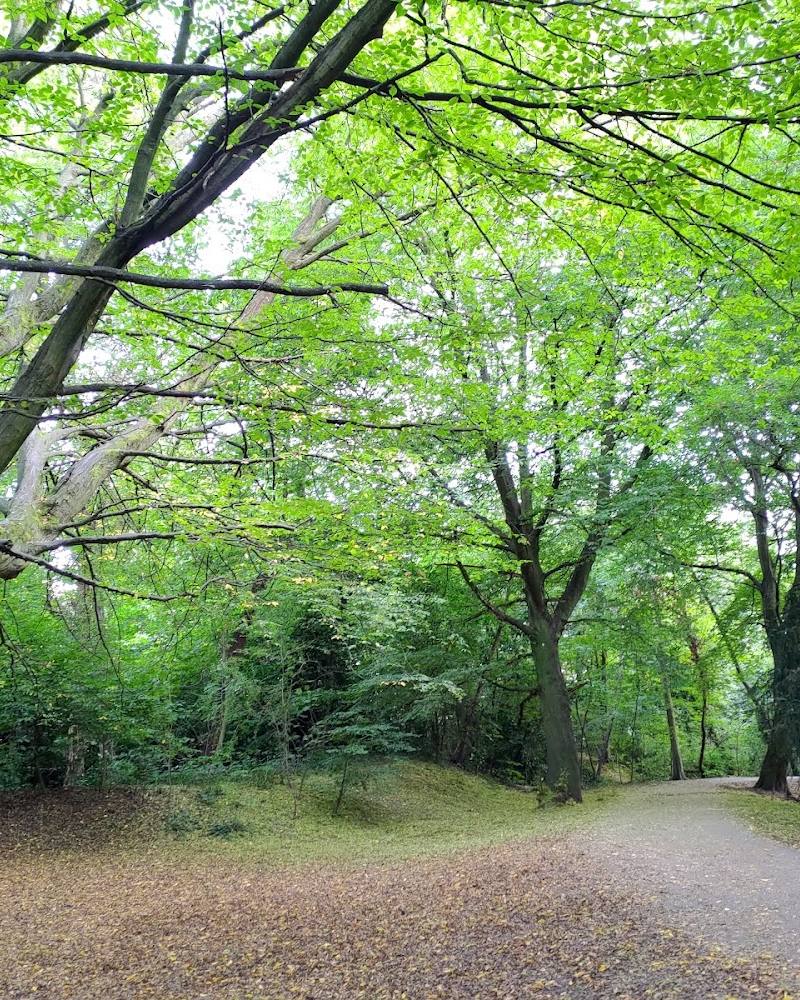
Dollis Valley, north London
Dollis Valley Greenwalk
route · Long-distance trail
Source image
6.3
Wildland
Half day
Time
Check
Cost
Green
Feel
Why it's Wildland
6.3A ten-mile green corridor through north London, linking open spaces along the Dollis Valley from Mill Hill to Hampstead Heath.
The Greenwalk offers a substantial, mostly flat route through linked urban green spaces rather than a single park visit. Its appeal is the journey itself: following the valley and Dollis Brook across a changing chain of open spaces.
Green · Peaceful
Find your way
Open mapDollis Valley, north London
Opening map…
Know this place a little better?
The experience
A linear walk linking open spaces along the Dollis Valley. The council describes it as mostly flat with hard surfaces; allow up to six hours for the full route and check conditions before setting out.
Things to do
Follow a section beside Dollis Brook
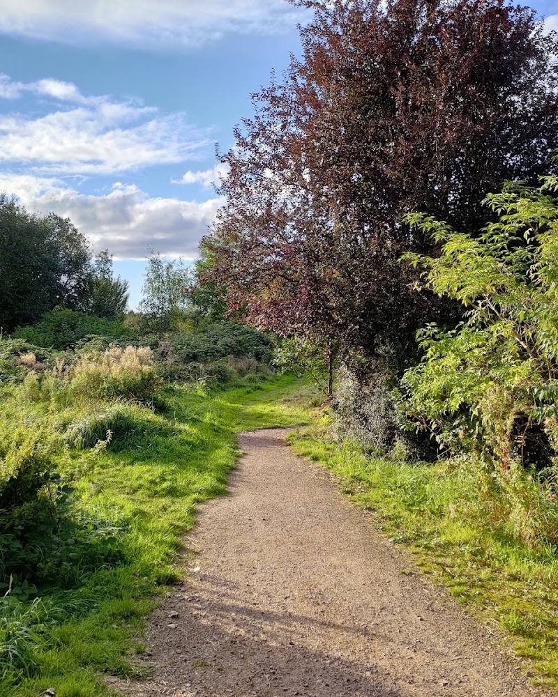
Walk part of the Greenwalk along the Dollis Valley, where the route follows linked green spaces and passes the brook.
Walk the route between Mill Hill and Hampstead Heath
Take on the full linear Greenwalk linking open spaces from Moat Mount in Mill Hill, through Barnet, towards Hampstead Heath.
Up to 6 hours
Look for Mill Hill Viaduct
The route description identifies the viaduct as a landmark beneath which the Greenwalk passes.
Make a day of it
Quick escape · 1–2 hours
A short taste of the Greenwalk
- 01
Choose a convenient access point using the Barnet Council route guide.
- 02
Walk a section of the Greenwalk beside Dollis Brook and through the adjoining green spaces.
- 03
Return by the same route or arrange onward transport; the supplied sources do not verify a short circular option.
Half day · Up to 6 hours
Walk the full Dollis Valley Greenwalk
- 01
Use the council guide to plan the full walk from Moat Mount, Mill Hill, towards Hampstead Heath.
- 02
Follow the route through the linked green spaces along the Dollis Valley.
- 03
Check the guide for route details before departure; the council notes that some parts may be muddy or icy.
Verified history
Fastest Known Time reports that the route was developed and implemented by the London Borough of Barnet in 1992. The supplied sources do not provide further historical detail.
Hidden details
The route connects wider walking networks — The route source says the Greenwalk forms part of London’s walking network and links with both the London LOOP and the Capital Ring.
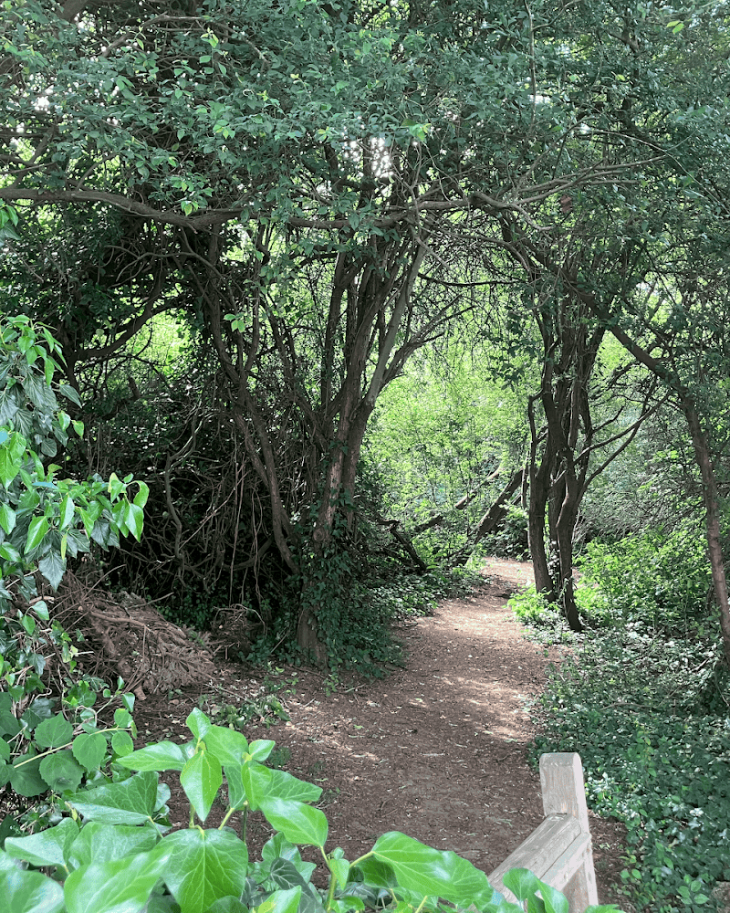
A sequence of named landscapes — The route description names Moat Mount Nature Reserve, Barnet Gate Wood and Totteridge Fields among the open spaces along the Greenwalk.
When to go
· No specific time of day is established by the supplied sources.
The council describes the walk as usable year-round but warns that weather can make sections muddy or icy.
Parts of the route may be muddy after wet weather or icy in freezing conditions. Check conditions and wear suitable footwear.
The route
- ascent
- 125 m reported for the 16 km route by Fastest Known Time; AllTrails reports 77 m for its 11.6 km route variant.
- surface
- Mostly hard surfaced; parts may become muddy or icy in adverse weather.
- distance
- 10 miles (approximately 16 km)
- duration
- Up to 6 hours
- difficulty
- Mostly flat; AllTrails rates its Dollis Valley and West Finchley route Moderate, but this is a separately described route variant.
- waymarking
- Fastest Known Time describes white direction arrows on a green disc.
- route shape
- Linear, from Moat Mount, Mill Hill, towards Hampstead Heath
- start point
- Moat Mount, Mill Hill; the supplied Google pin is a main-place pin, not a verified route entrance.
- parking start
- Not verified; consult the Barnet Council guide for start-point information.
- shorter alternative
- Walk a section and return along the same way; no specific shorter circuit is verified in the supplied sources.
- Dollis Brook
- Moat Mount Nature Reserve
- Barnet Gate Wood
- Totteridge Fields
- Mill Hill Viaduct
- Green spaces along the Dollis Valley
What to look for
Dollis Brook and the changing sequence of green spaces along the valley. The supplied sources also identify Moat Mount, Barnet Gate Wood, Totteridge Fields and Mill Hill Viaduct along the route.
Best time to go
Year-round; check conditions after wet or freezing weather, when parts can become muddy or icy.
Choose a dry day for firmer surfaces. No particular season or time of day is specified by the supplied sources.
How long to spend
Half day
Perfect for
Walkers · Cyclists
Route at a glance
Duration
Half day
Terrain
Valley, Parkland
Parking / start
Check the council guide for start-point and parking information; no parking details verified here.
Before you go
Address
Listed hours
- Monday: Open 24 hours
- Tuesday: Open 24 hours
- Wednesday: Open 24 hours
- Thursday: Open 24 hours
- Friday: Open 24 hours
- Saturday: Open 24 hours
- Sunday: Open 24 hours
Check before visiting.
Google rating
Practical information
Opening & access
A council-described walking route linking green spaces along the Dollis Valley. Check the council guide and local signage for current route details and access conditions.
Check before visiting
Parking
Check the council guide for start-point and parking information; no parking details verified here.
Check before visiting
Toilets
Check before visiting
Check before visiting
Food & drink
Check before visiting
Check before visiting
Dogs
Check before visiting
Check before visiting
Accessibility
Barnet Council describes the route as mostly flat with hard surfaces and suitable for wheelchair users. Conditions vary: sections can become muddy or icy.
Cost
Check before visiting
Check before visiting
Water
River
Gallery
Place photographsKeep exploring
Around Dollis Valley Greenwalk
Within 50 km · approximate straight-line distances