Dale, near Haverfordwest, Pembrokeshire, Wales, SA62 3RN
Dale Beach
Beach
Place photograph
5.5
Wildland
1–2 hours
Time
Check
Cost
Peaceful
Feel
Why it's Wildland
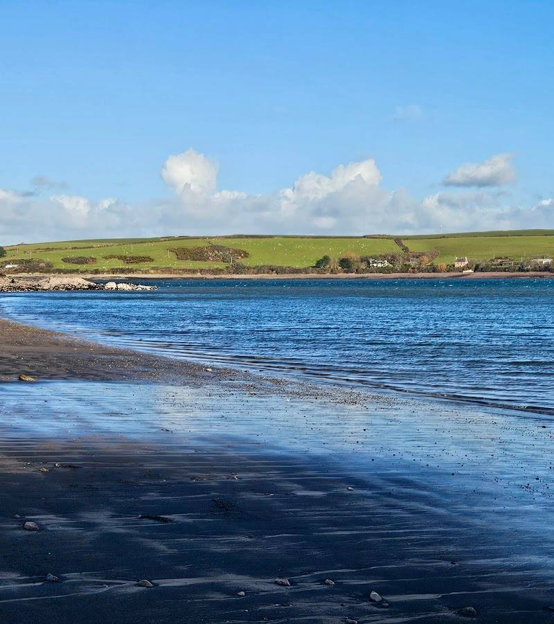
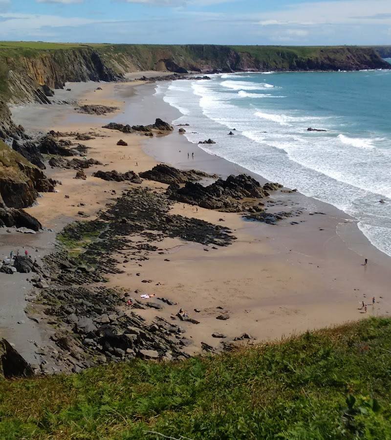
5.5At the edge of Dale village, this sheltered coastal spot looks out over Milford Haven Waterway, where beachside calm meets the working passage of boats and the wider, rugged Pembrokeshire coast.
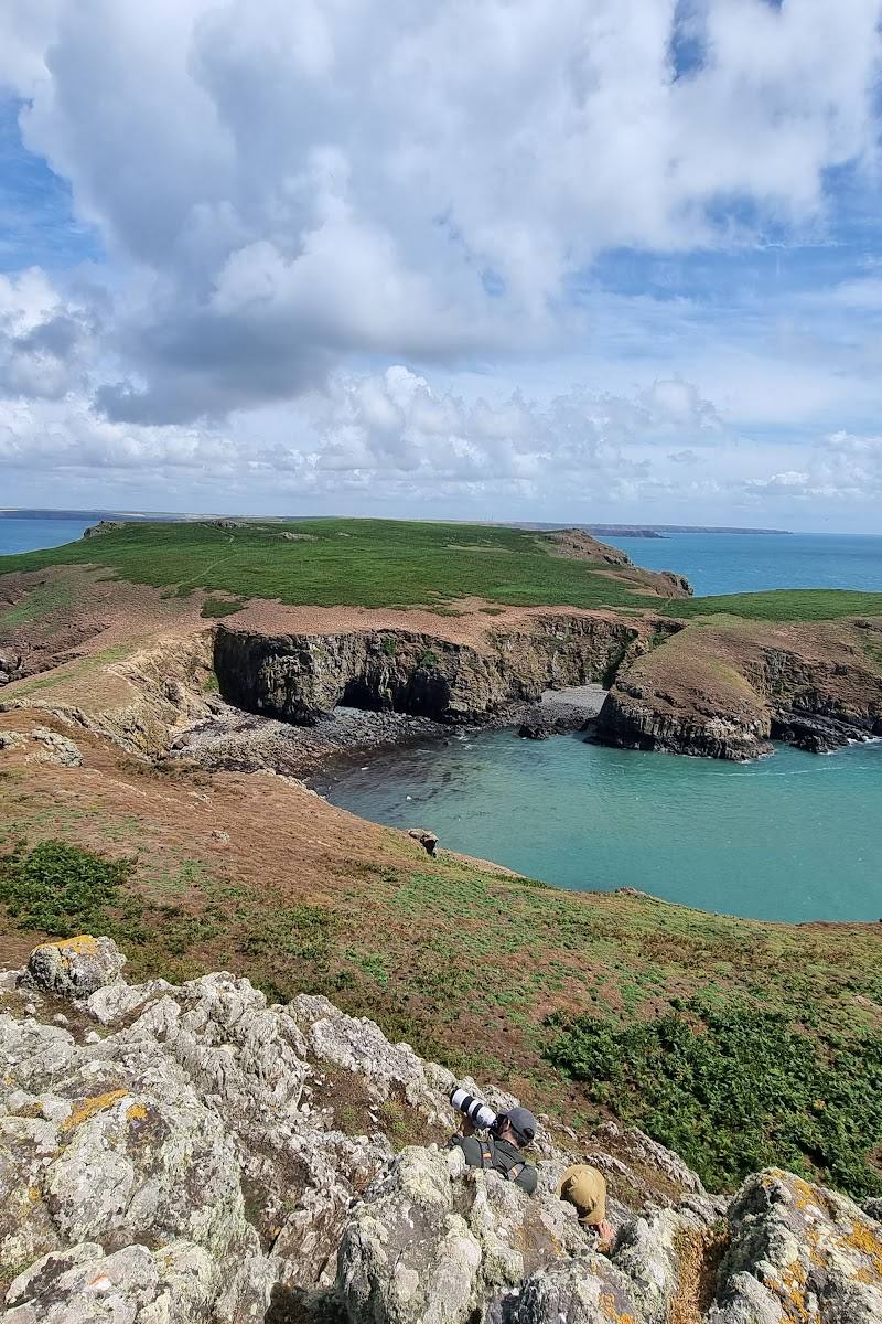
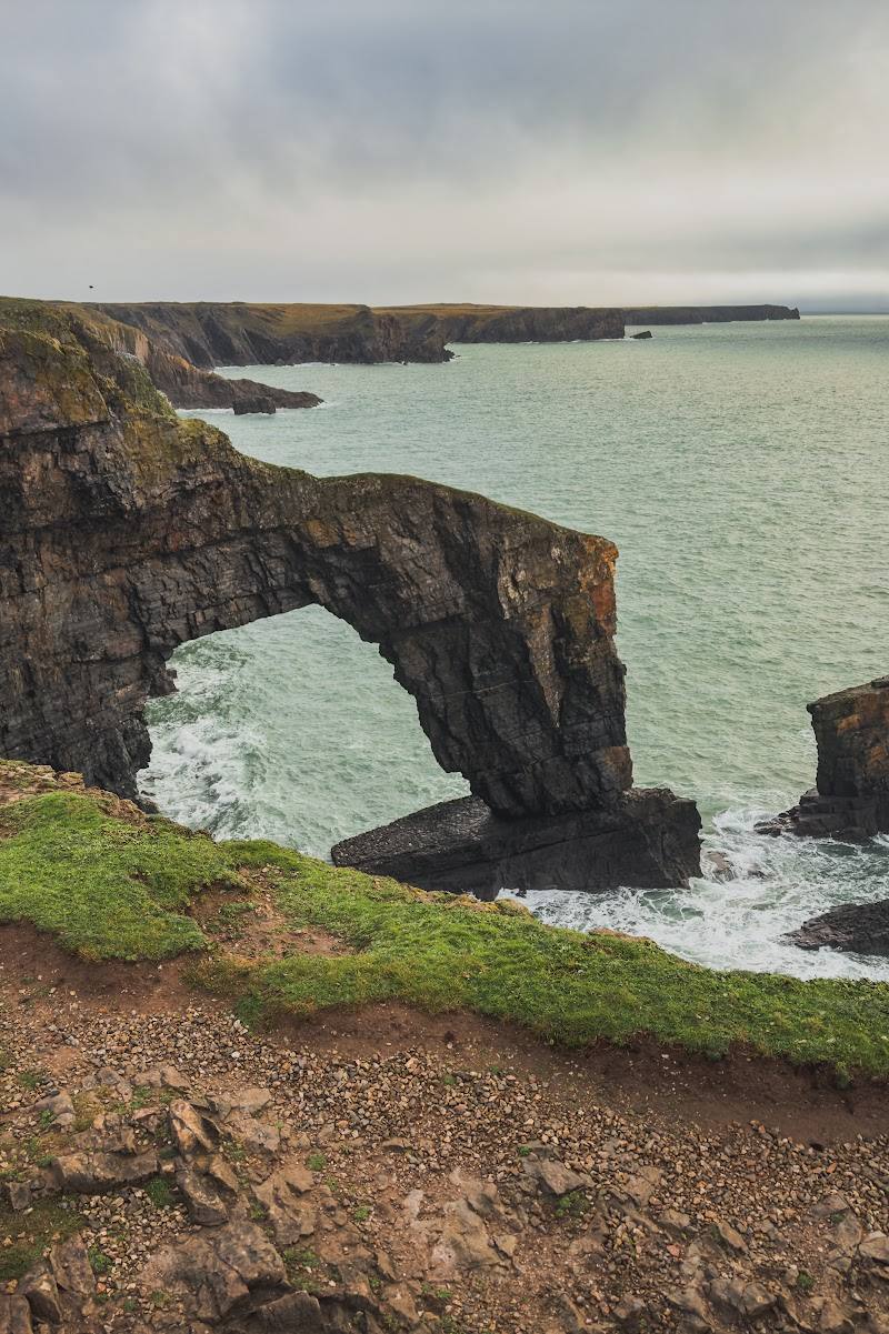
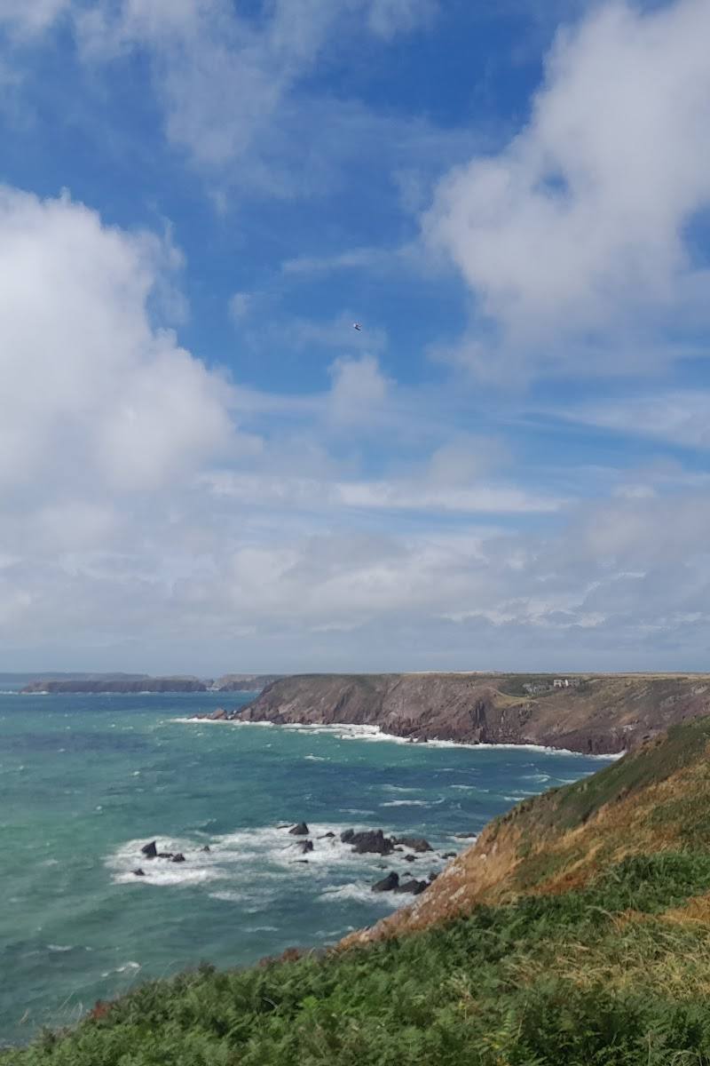
Dale Beach earns its place for the combination of a village shoreline and a much wilder coastal landscape close at hand. The National Park’s Dale Peninsula walk adds rugged cliffs, steep wooded gradients and a strong thread of coastal history to a visit.
Peaceful · Atmospheric
Find your way
Open mapDale, near Haverfordwest, Pembrokeshire, Wales, SA62 3RN
Opening map…
Know this place a little better?
The experience
Visit the shore for a short coastal pause, or use Dale as a starting point for the National Park’s 6.6-mile Dale Peninsula circular walk. The walk is described as rugged, with steep gradients, fields, livestock and some minor-road walking.
Things to do
Take a coastal pause at Dale Beach
Spend a short visit on the village shoreline and look across Milford Haven Waterway. Check local conditions before setting out.
Under 1 hour
Walk the Dale Peninsula circular
Follow the Pembrokeshire Coast National Park’s 6.6-mile (10.6 km) route, described as rugged, with cliff-top sections, steep gradients, fields and some minor-road walking.
About 3 hours
Look for coastal history and seabirds
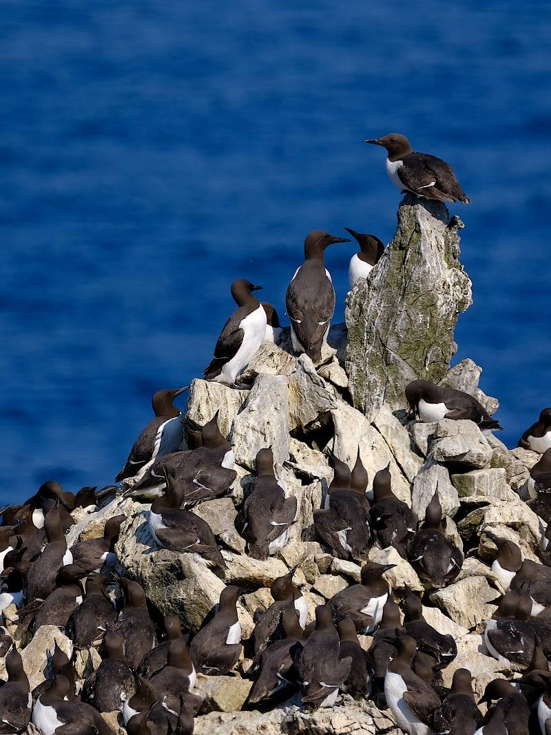
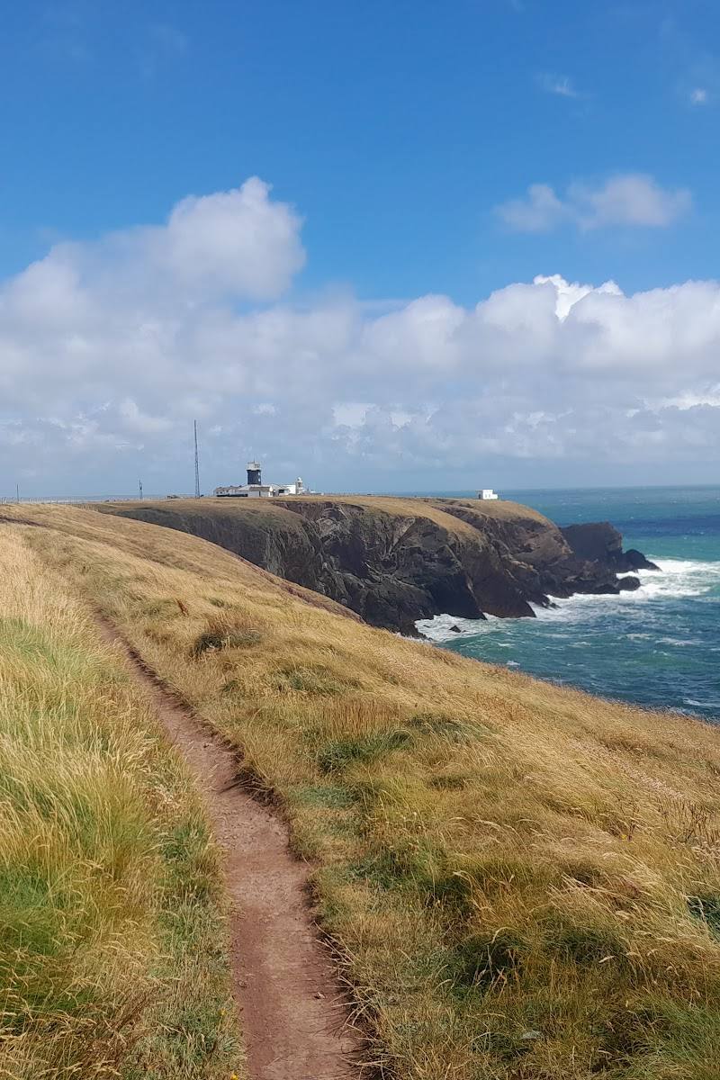
The National Park route highlights an Iron Age fort, a ruined limekiln, West Blockhouse coastal defence, a lighthouse and seabirds along the peninsula.
Make a day of it
Quick escape · Under 1 hour
A shoreline pause in Dale
- 01
Visit the shoreline at Dale Beach.
- 02
Take in the coastal setting and views over Milford Haven Waterway.
- 03
Check local conditions and access before visiting.
Half day · About 3 hours
Dale Peninsula coastal circuit
- 01
Start in Dale and follow the National Park’s Dale Peninsula circular walk.
- 02
Allow for 6.6 miles (10.6 km) of walking, including steep gradients and 0.9 mile (1.5 km) on minor roads.
- 03
Look out for the Iron Age fort, ruined limekiln, wooded bay, coastal defences, lighthouse and seabirds.
Verified history
The National Park’s Dale Peninsula walk identifies an Iron Age fort, a ruined limekiln and the West Blockhouse coastal defence as features along the route. The supplied source does not provide dates or further historical detail for these sites.
Hidden details
A ruined limekiln on the peninsula walk — The National Park lists a ruined limekiln among the route’s things to look out for—a historic detail that can be easy to overlook amid the coastal scenery.
Views of coastal defences — The walk includes views of Victorian fortifications on Milford Haven Waterway and highlights West Blockhouse coastal defence.
When to go
· Not specified by the supplied sources. Check local conditions before visiting.
The supplied sources do not give seasonal advice for the beach or peninsula walk.
The National Park describes the peninsula route as rugged, with cliff-top sections and steep gradients. Check current weather and local conditions before walking.
The route
- surface
- Includes cliff-top walking, fields and 0.9 mile (1.5 km) on minor roads; detailed surface information is not supplied.
- distance
- 6.6 miles (10.6 km)
- duration
- 3 hours
- difficulty
- The National Park describes rugged terrain, steep gradients, fields and livestock.
- route shape
- Circular
- start point
- Dale
- parking start
- A wheelchair-accessible car park is reported for Dale Beach in the source row. The National Park route page excerpt does not give parking details; check before visiting.
- Rugged cliffs and cliff-top scenery
- Iron Age fort
- Ruined limekiln
- Wooded bay
- Victorian fort views up Milford Haven Waterway
- West Blockhouse coastal defence
- Lighthouse
- Seabirds
Worth pairing with
Dale village
The shoreline sits beside Dale village. A local accommodation guide names The Boathouse Café and The Griffin as places in the village; check opening times before planning a stop.
Dale Peninsula walk
A substantial coastal walk from Dale adds cliffs, heritage features and wider Milford Haven Waterway views to a beach visit.
What to look for
On the Dale Peninsula walk, look out for the Iron Age fort, ruined limekiln, wooded bay, Victorian fort views up Milford Haven Waterway, West Blockhouse coastal defence, lighthouse and seabirds.
The story
Industry, Maritime, Archaeology
Best time to go
The supplied sources do not identify a best season. Check local conditions before travelling.
No preferred time of day is established by the supplied sources. Check tide and local conditions before setting out.
How long to spend
1–2 hours
Perfect for
Walkers · Photographers · Couples
Before you go
Address
Google rating
Practical information
Opening & access
The source row identifies Dale Beach as operational and reports a wheelchair-accessible car park and entrance. Check local conditions, beach access and facilities before visiting; no detailed access information is supplied.
Check before visiting
Parking
A wheelchair-accessible car park is reported in the source row. Parking location, capacity and charges are not confirmed; check before visiting.
Check before visiting
Toilets
Check before visiting.
Check before visiting
Food & drink
A local accommodation guide names The Boathouse Café and The Griffin in Dale. Opening times are not supplied; check before visiting.
Check before visiting
Dogs
Check before visiting.
Check before visiting
Accessibility
The source row reports a wheelchair-accessible car park and entrance. It does not describe beach-surface conditions, gradients or step-free routes along the shore.
Cost
Check before visiting.
Check before visiting
Water
Sea, Estuary
Gallery
Place photographsKeep exploring
Around Dale Beach
Within 50 km · approximate straight-line distances
 Place photograph5.5
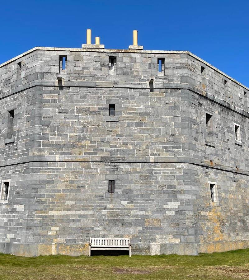
West Blockhouse Fort
West Blockhouse Point, near Dale, Pembrokeshire, Wales
2.4 km away
 Place photograph5.9
St Brides Haven
St Brides Haven, near Haverfordwest, Pembrokeshire, Wales
5.1 km away
 Place photograph9.4
Skomer Island
Off the Pembrokeshire coast, reached by boat from Martin’s Haven
9.3 km away