Near Priestweston, on the Shropshire–Powys border
Corndon Hill
Viewpoint
Place photograph
6.3
Wildland
Half day
Time
Check
Cost
Big-sky
Feel
Why it's Wildland
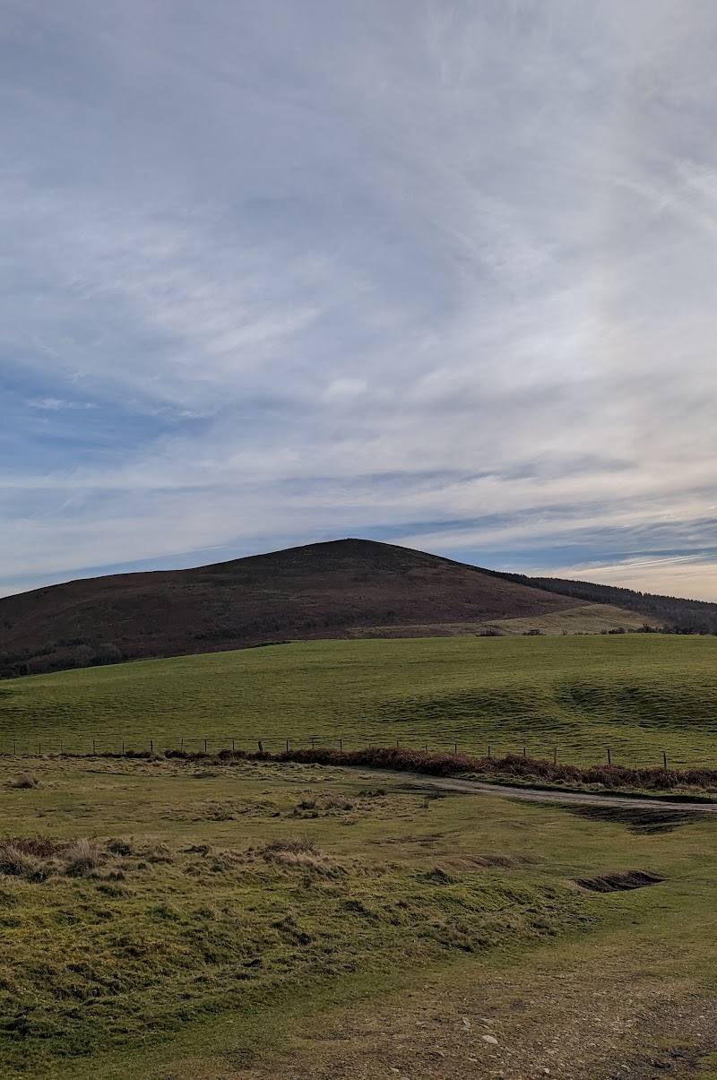
6.3A summit walk across rolling upland and farmland, with Bronze Age burial cairns on Corndon Hill and the nearby remains of Mitchell’s Fold stone circle.
Corndon Hill earns its place for the combination of an open hilltop, broad views and visible prehistoric traces. It is more than a summit photo-stop: the sourced circular walk links the hill with Lan Fawr and a wider landscape of moorland and farmland, though steep, boggy sections make good footwear important.
Big-sky · Wild · Secluded
Find your way
Open mapNear Priestweston, on the Shropshire–Powys border
Opening map…
Know this place a little better?
The experience
Take the circular walk from Priestweston over Corndon Hill and Lan Fawr. Expect rolling upland, farmland and moorland, a steep climb, and potentially boggy ground. Allow around 3.5–4 hours for the 6.2-mile loop; bring waterproof boots and check current conditions.
Things to do
Reach Corndon Hill summit
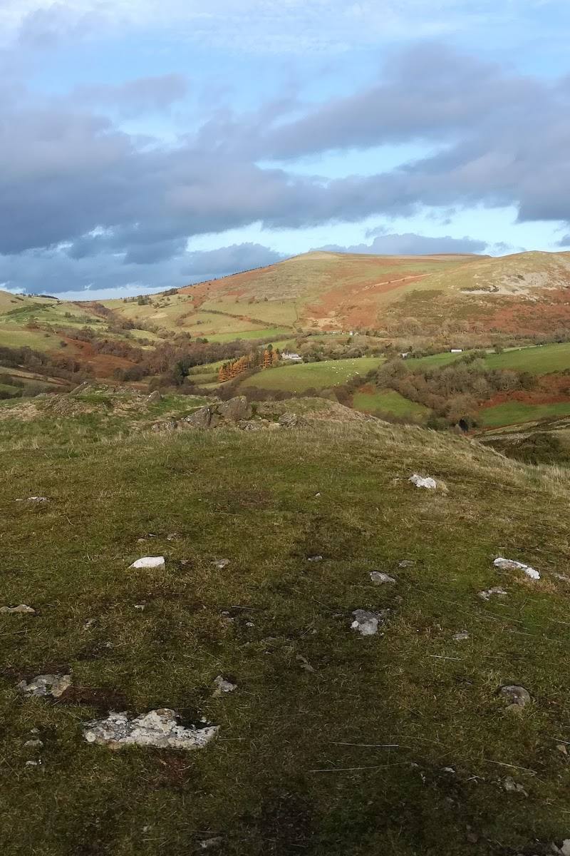
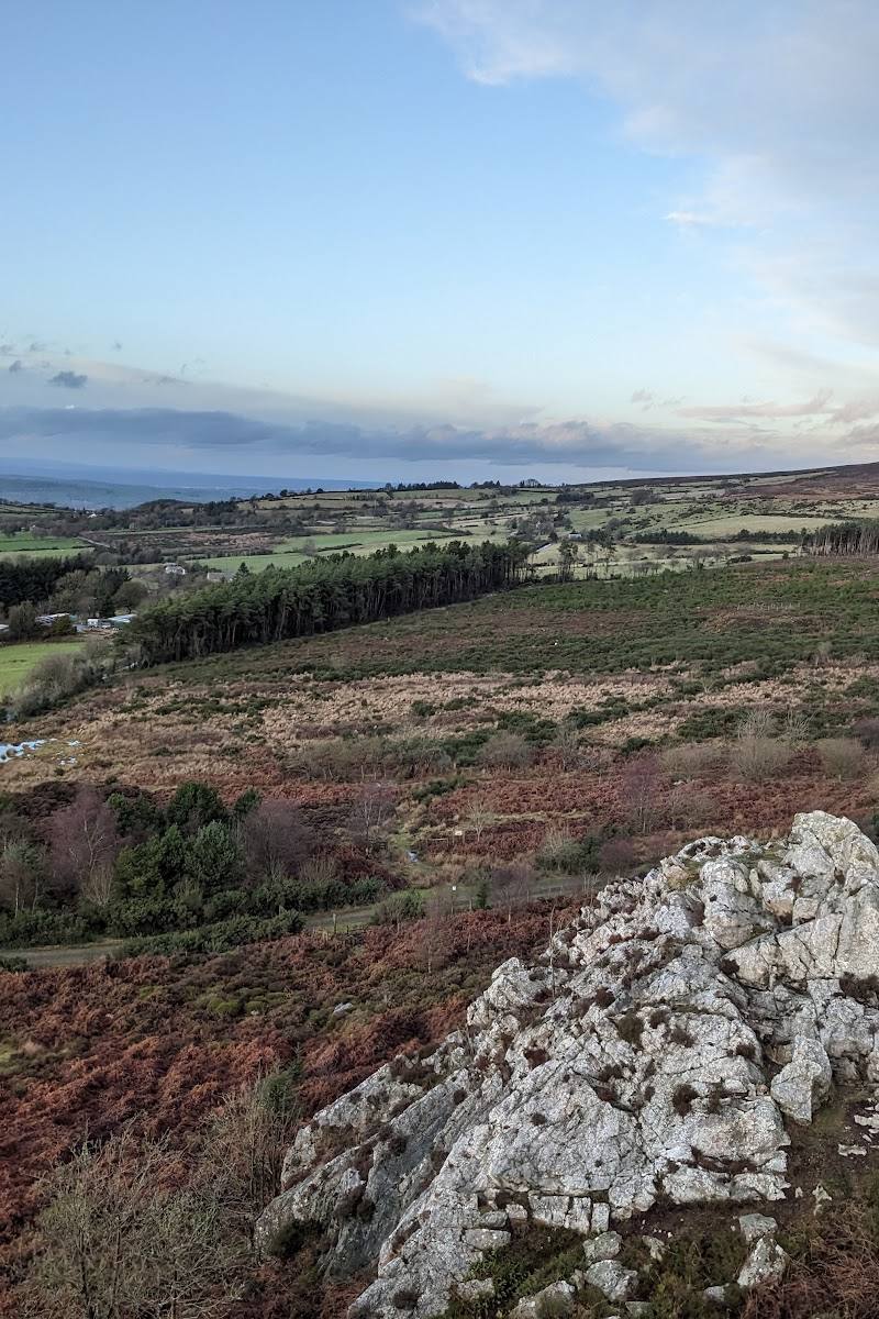
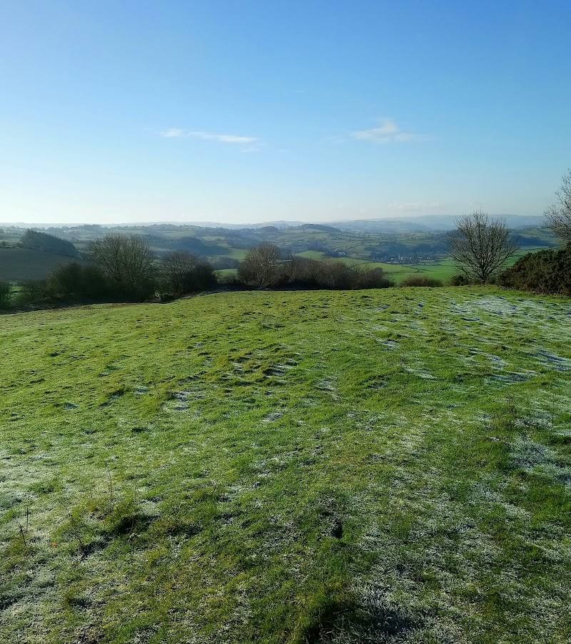
Climb to the summit for open views across the surrounding upland landscape; the route source describes views from the hill.
Part of a 3.5–4-hour, 6.2-mile circular walk
Look for the summit burial cairns
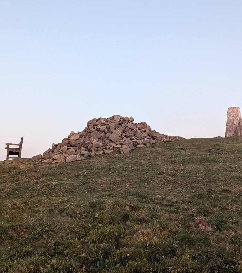
Bronze Age burial cairns mark the summit. Observe them without disturbing the monument.
Continue to Lan Fawr
Extend the hill outing on the circular route, which visits Lan Fawr before returning to Priestweston.
Included in the 3.5–4-hour circular route
Make a day of it
Quick escape · Check before visiting; no sourced short-route distance or duration
Summit and back
- 01
Plan a short out-and-back to the summit only if you can confirm the route and access locally.
- 02
Pause at the summit for the views and look for the burial cairns.
Half day · 3.5–4 hours
Corndon Hill and Lan Fawr circular
- 01
Start in Priestweston.
- 02
Climb through rolling hills, moorland and farmland to Corndon Hill summit.
- 03
Take in the views and notice the Bronze Age burial cairns.
- 04
Continue to Lan Fawr and return to Priestweston.
- 05
Wear waterproof boots; expect steep and potentially boggy sections.
Verified history
Bronze Age burial cairns mark Corndon Hill’s summit. The cited circular-walk description also notes the remains of Mitchell’s Fold stone circle nearby. The supplied sources do not establish further dates or historical detail about the hill’s cairns.
Hidden details
Bronze Age cairns at the summit — The summit is marked by burial cairns—easy to overlook when attention is fixed on the panorama.
When to go
· Choose a clear day for the views; no particular time of day is evidenced.
The supplied route information does not identify a best season.
Paths can be steep and boggy. Good waterproof boots are recommended; check weather and ground conditions before setting out.
The route
- ascent
- 1,427 ft
- stiles
- Check before visiting
- surface
- Steep and boggy in places; other surface details not supplied
- distance
- 6.2 miles
- duration
- 3.5–4 hours
- difficulty
- Moderate
- waymarking
- Check before visiting
- route shape
- Loop
- start point
- Priestweston village
- parking start
- Check before visiting
- Corndon Hill summit and views
- Bronze Age burial cairns at the summit
- Lan Fawr
- Rolling hills, moorland and farmland
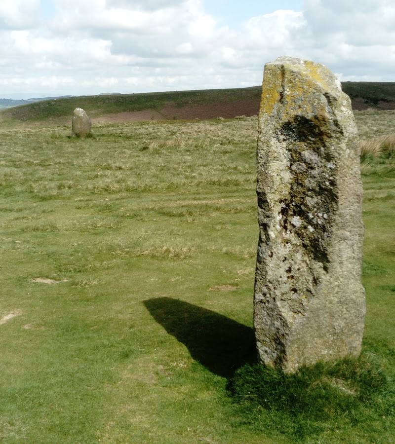
- Nearby remains of Mitchell’s Fold stone circle
Worth pairing with
Mitchell’s Fold stone circle
A nearby prehistoric monument mentioned in the Corndon Hill circular-route description. Verify directions and access before planning it as a separate stop.
What to look for
- 01
Look for the Bronze Age burial cairns at the summit. The circular route also passes the remains of Mitchell’s Fold stone circle nearby
- 02
stay on permitted paths and do not enter restricted land.
The story
Bronze Age burial cairns and the nearby remains of Mitchell’s Fold stone circle.
Best time to go
Check current conditions before visiting; no specific seasonal peak is established by the supplied sources.
Choose a clear, settled day for the views. The sources do not establish a particular season or time of day as best.
How long to spend
Half day
Perfect for
Walkers · Photographers · History lovers
Before you go
Address
Google rating
Practical information
Opening & access
A summit walk is described on the Corndon Hill–Lan Fawr circular route from Priestweston. The route is steep and can be boggy; check current route conditions and access before setting out. Access arrangements are unconfirmed. Check before visiting; do not enter private land or restricted structures.
Check before visiting
Parking
Start point is given as Priestweston; parking details are not confirmed. Check before visiting.
Check before visiting
Toilets
Check before visiting
Check before visiting
Food & drink
Check before visiting
Check before visiting
Dogs
Check before visiting; the supplied sources do not confirm rules for Corndon Hill.
Check before visiting
Accessibility
The described circular walk is moderate, 6.2 miles, with 1,427 ft of ascent and steep, potentially boggy sections. Not suitable to assume accessible for all visitors; check conditions and route details before setting out.
Check before visiting
Cost
Check before visiting
Check before visiting
Water
Check before visiting
Check before visiting
Gallery
Place photographs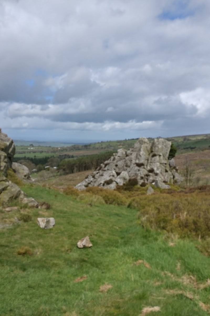
Keep exploring
Around Corndon Hill
Within 50 km · approximate straight-line distances