Cape Wrath, near Durness, Lairg IV27 4QQ, Scottish Highlands
Cape Wrath Lighthouse
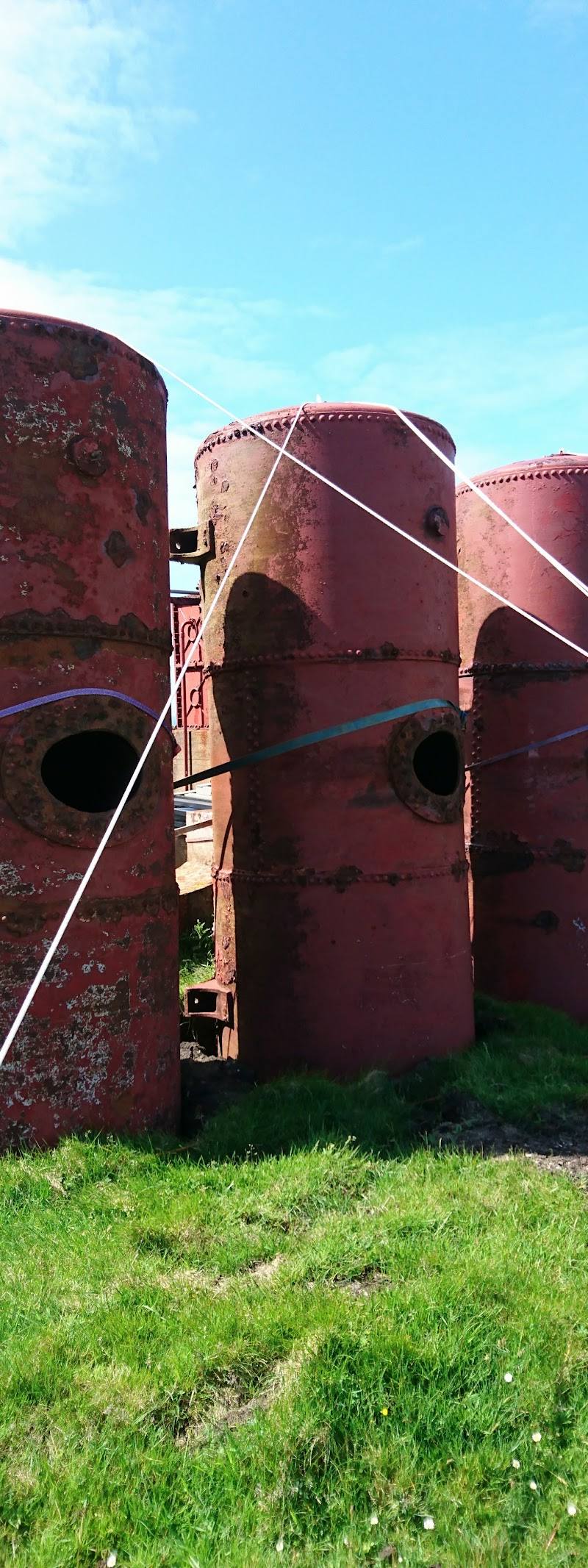
Industrial heritage
Place photograph
6.9
Wildland
Half day
Time
Check
Cost
Wild
Feel
Why it's Wildland
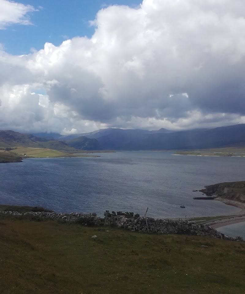
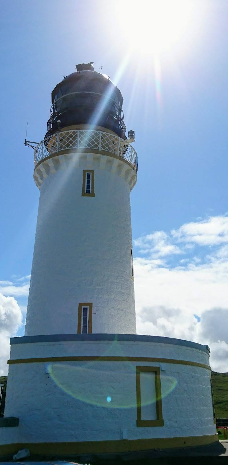
6.9At mainland Britain’s north-western edge, Robert Stevenson’s 1828 lighthouse stands above the Atlantic on a remote headland. Getting there is part of the experience: the usual visitor approach crosses the Kyle of Durness before following a rough track across the Parph.
Cape Wrath pairs a landmark lighthouse with a genuinely remote Atlantic headland: open moorland, high cliffs, seabirds and a difficult approach give the place a stronger sense of wildness than the building alone could provide. Access is seasonal and needs checking before you set out.
Wild · Remote · Dramatic · Atmospheric
Find your way
Open mapCape Wrath, near Durness, Lairg IV27 4QQ, Scottish Highlands
Opening map…
Know this place a little better?
The experience
If access is operating, the usual visit combines a crossing of the Kyle of Durness, a minibus journey across the Parph and time to explore the lighthouse surroundings and Atlantic headland. Current transport and site arrangements must be checked first.
Things to do
See Robert Stevenson’s lighthouse
View the 1828 lighthouse from the visitor-accessible surroundings. The supplied source describes it as standing on the Cape Wrath cliffs; interior access is not confirmed.
Allow time within the visit; exact timings depend on transport arrangements.
Take in the Atlantic headland
Explore only the areas currently open to visitors and look out across the exposed coast and surrounding sea stacks.
Make a day of it
Quick escape · About half a day, including the described ferry and minibus journey; confirm current service times.
The lighthouse headland visit
- 01
Check that ferry and minibus services are operating and that access is not restricted by military activity.
- 02
Cross the Kyle of Durness and travel by minibus along the rough track to Cape Wrath.
- 03
Explore the lighthouse surroundings and take in the Atlantic headland views, staying within areas currently open to visitors.
Half day · Allow several hours; visitor accounts describe around three hours for the minibus return journey and time at the lighthouse, in addition to ferry time. Verify current timings.
Make a half day of the remote crossing
- 01
Arrange and confirm the ferry and minibus before travelling; the route is seasonal and access may be affected by military exercises.
- 02
Use the journey across the Kyle and the rough track as part of the day, watching the changing moorland and coastal landscape.
- 03
Spend the available time around the lighthouse and headland, looking for the foghorn and sea stacks where access permits.
- 04
Return using the confirmed transport arrangements; do not rely on an unverified café or toilet being open.
Verified history
Robert Stevenson designed the lighthouse, built in 1828. It was staffed until 1998, when it was automated by the Northern Lighthouse Board. A signal station was established at the cape in 1894 and closed in 1932; the source says it was briefly reused as a coastguard station during the Second World War. The lighthouse can be viewed from its surroundings, but access inside is not established by the supplied evidence.
Hidden details
The meaning of “Wrath” — Britain Express says the name derives from an Old Norse word meaning a turning point, describing Cape Wrath as a landmark for Norse mariners. This is an explanation of the place-name, not a supernatural legend.
A signal station’s wartime afterlife — The former signal station, established in 1894 and closed in 1932, was reportedly reused briefly as a coastguard station during the Second World War.
When to go
May · June · July · August · September · Choose a clear-weather window that fits confirmed ferry and minibus schedules; the supplied sources do not establish a quieter or better time of day.
The source describes ferry and minibus access as seasonal, with a May–September service reported by Britain Express. Current dates and operation are not verified, so check before travelling.
The headland is exposed and the access track is rough. Check the forecast and current military access restrictions; do not assume transport will operate in poor conditions.
Worth pairing with
Sandwood Bay
A separate coastal destination identified by Britain Express as 6.5 miles from Cape Wrath. Treat this as a separate outing: the sources do not establish a convenient same-day connection or current access conditions.
Balnakeil Church
A historic church listed by Britain Express as 8.8 miles away. Check access and travel logistics before combining it with Cape Wrath.
Smoo Cave
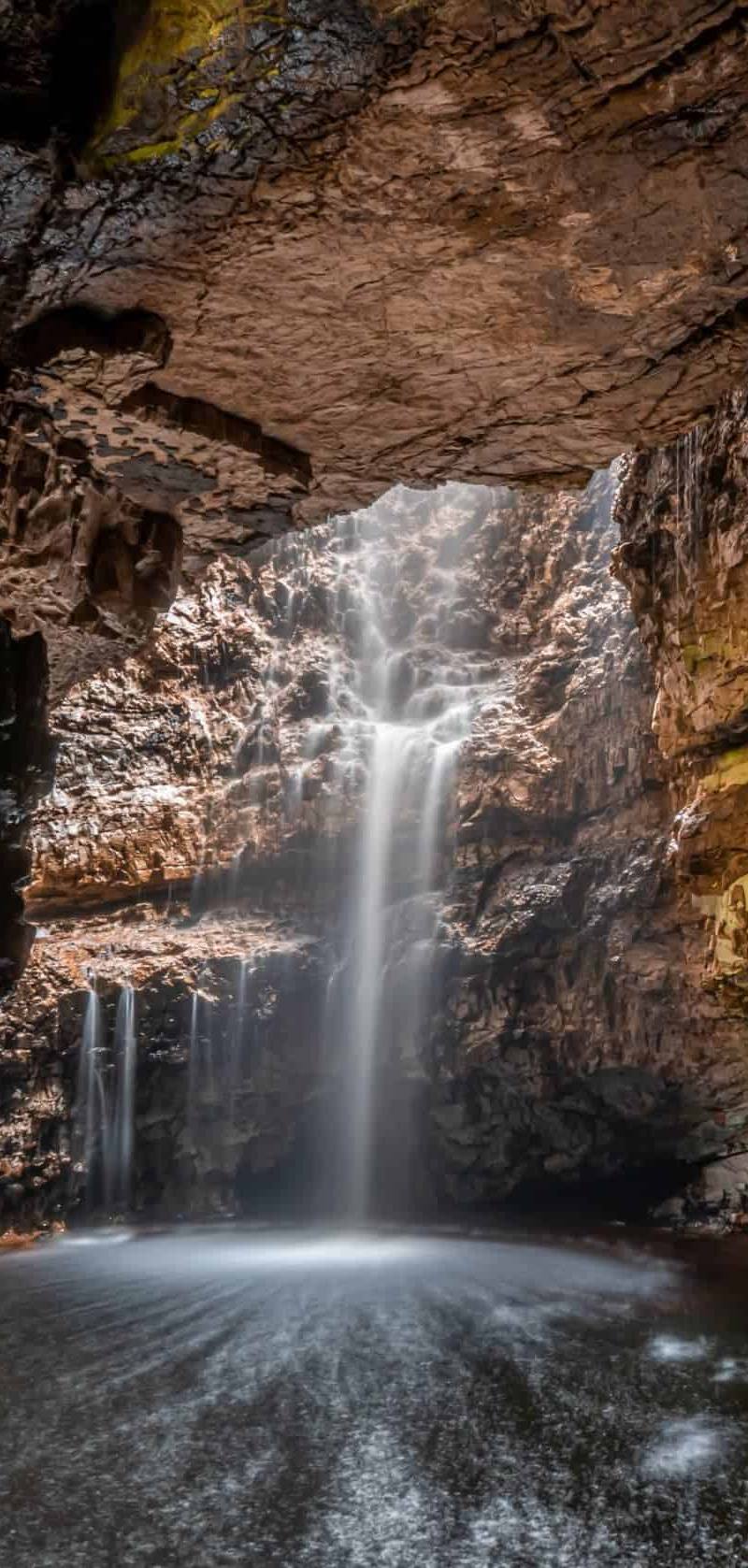
A cave attraction listed by Britain Express as 10.9 miles away; it may suit a separate Durness-area outing, subject to current access and conditions.
What to look for
- 01
Look for the 1828 lighthouse, the exposed cliff-top setting and views across the Atlantic. The sources also describe a disused foghorn and sea stacks in the surrounding area
- 02
check that these are accessible from your visit point.
The story
Industry
Best time to go
Late spring to early autumn for the described seasonal ferry and minibus access; confirm current operation before travelling.
Aim for a clear, settled day during the season when transport is confirmed to be running. The headland is exposed, and the journey itself is long enough to merit checking conditions and arrangements before leaving.
How long to spend
Half day
Perfect for
Photographers · History lovers · Wildlife lovers · Walkers
Before you go
Address
Practical information
Opening & access
Cape Wrath is reached by crossing the Kyle of Durness and travelling along a rough track; sources describe a passenger ferry and minibus service operating seasonally. The source row marks the lighthouse listing as permanently closed, so do not assume the transport service, café or access is currently operating. Check current arrangements and military access restrictions before travelling. Do not assume the lighthouse interior is open. Access arrangements are unconfirmed. Check before visiting; do not enter private land or restricted structures.
Check before visiting
Parking
Check before visiting; no parking information is confirmed by the supplied sources.
Check before visiting
Toilets
Check before visiting; a visitor review reports toilets at the lighthouse, but current availability is unconfirmed.
Check before visiting
Food & drink
Check before visiting; visitor reports mention a café, but the source row marks this listing permanently closed and current operation is unconfirmed.
Check before visiting
Dogs
Check before visiting; no dog policy is confirmed.
Check before visiting
Accessibility
The described ferry-and-minibus approach includes a rough track. The alternative walk is a long, demanding route; do not assume the terrain or transport is suitable for every visitor. Check current access, weather and military restrictions before setting out.
Check before visiting
Cost
Check before visiting
Check before visiting
Water
Sea
Gallery
Place photographs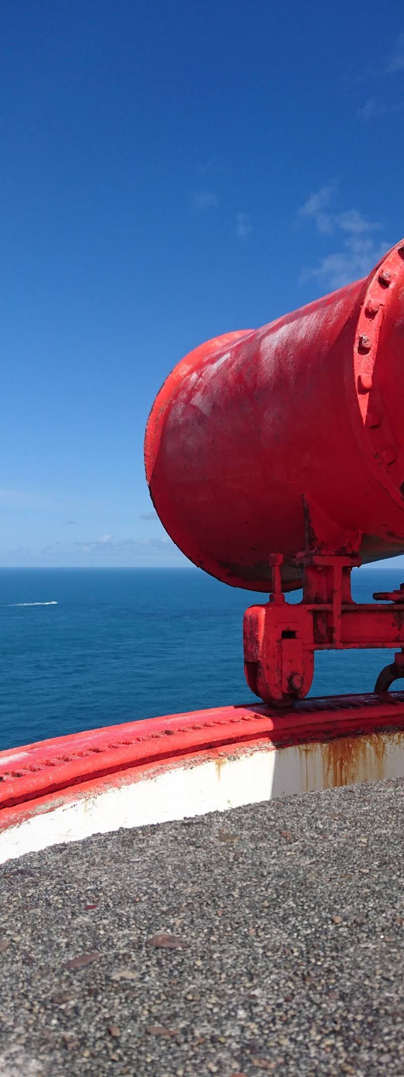
Keep exploring
Around Cape Wrath Lighthouse
Within 50 km · approximate straight-line distances

 Place photograph9.2
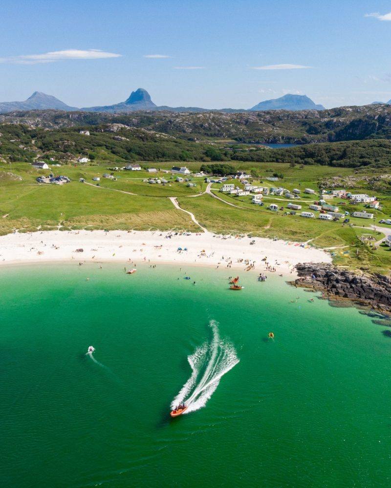
Sandwood Bay
North of Kinlochbervie, Sutherland, north-west Highlands, Scotland
13.6 km away
 Place photograph7.2
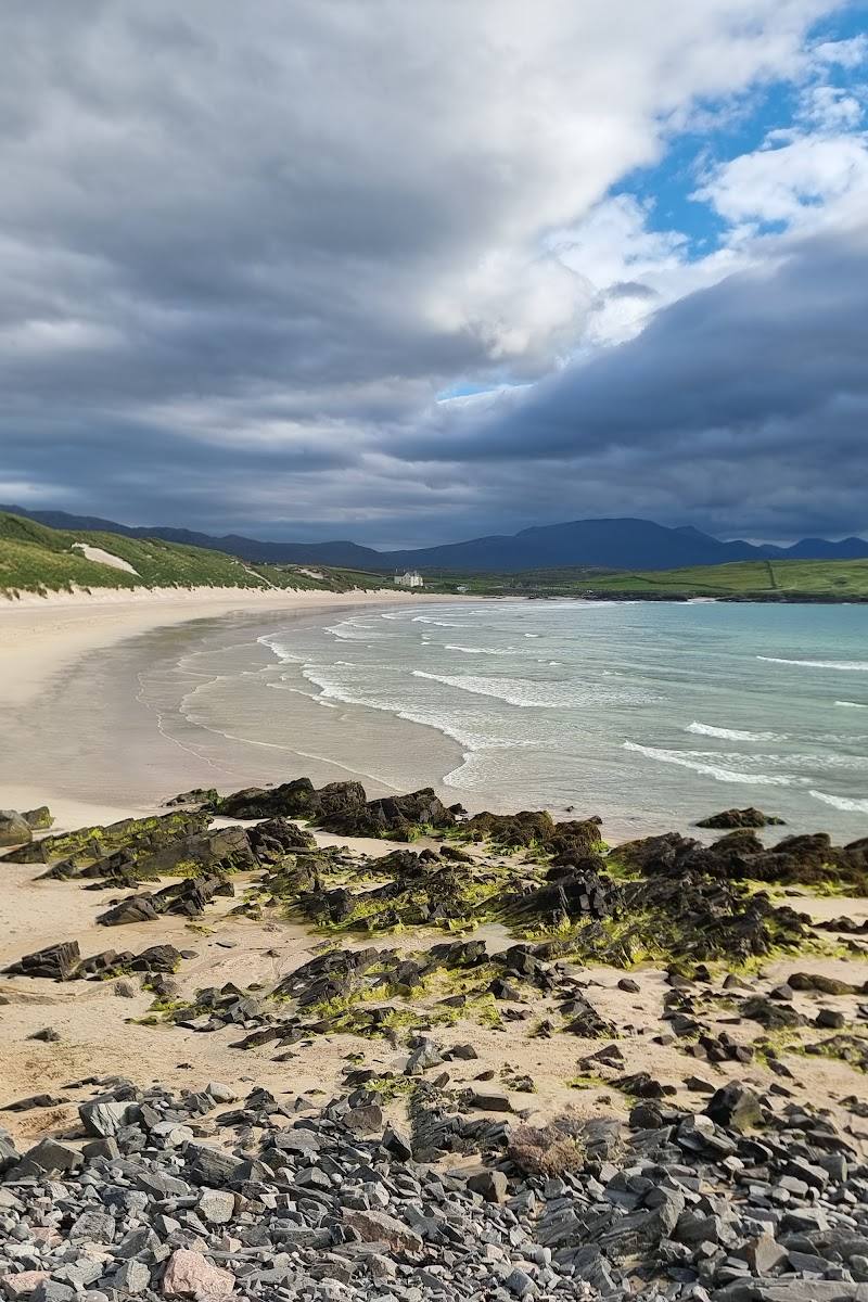
Oldshoremore Beach
Oldshoremore, near Kinlochbervie, Sutherland, Scottish Highlands
17.1 km away