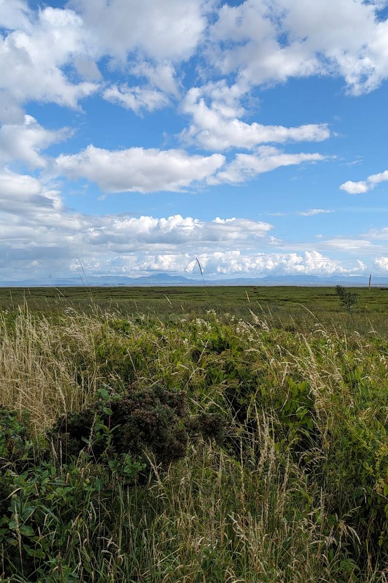
North shore of the Solway Firth, south-east of Dumfries, Dumfries and Galloway
Caerlaverock National Nature Reserve
Mixed-habitat reserve
Place photograph
7.6
Wildland
1–2 hours
Time
Check
Cost
Big-sky
Feel
Why it's Wildland
7.6At Caerlaverock, the tide transforms the landscape twice a day: NatureScot says 90% of the reserve is flooded at high tide, while its mudflats feed nearly 140,000 wintering birds.
The scale and rhythm of the Solway make this more than a coastal stroll: immense mudflats, saltmarsh and internationally important birdlife change with the tide. Come in autumn or winter for waders and waterfowl, and check tide conditions before choosing a route.
Big-sky · Wild · Peaceful
Find your way
Open mapNorth shore of the Solway Firth, south-east of Dumfries, Dumfries and Galloway
Opening map…
Know this place a little better?
The experience
Keep the visit simple and tide-aware: start from one of the signposted reserve car parks, explore the reserve paths, and give time to the changing shoreline and birdlife. Check tide tables before going; the supplied evidence does not establish route distances or durations.
Things to do
Watch the tide reshape the reserve
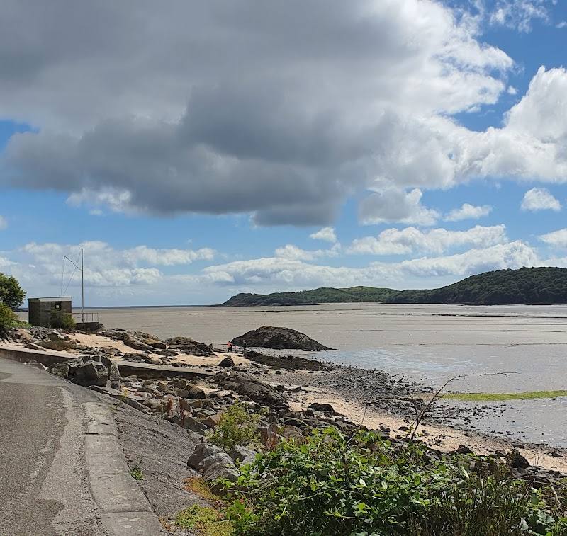
Observe the changing mudflats and shoreline. NatureScot says 90% of the reserve is flooded at high tide.
Look for wintering waders
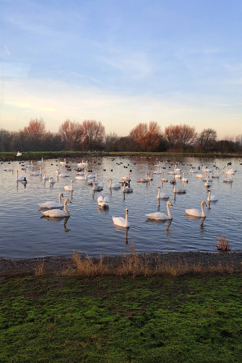
In autumn and winter, scan the mudflats for feeding birds. NatureScot names pintail, shelduck and oystercatcher among the wintering birds.
Notice the saltmarsh plants
In summer, look for flowers and glasswort, also known as samphire, among the saltmarsh.
Make a day of it
Quick escape · Allow 1–2 hours; exact route duration is not specified in the supplied evidence.
Quick Escape: meet the changing Solway
- 01
Use a signposted car park at Hollands or Castle Corner.
- 02
Check local tide tables before setting out; reserve paths may flood at the highest tides.
- 03
Walk a suitable reserve path and pause to watch the mudflats and shoreline.
- 04
In autumn and winter, look for feeding waders; in summer, notice the saltmarsh flowers and glasswort.
Hidden details
A landscape mostly underwater at high tide — NatureScot says 90% of the reserve is flooded at high tide. This is a striking reminder to check tide tables before walking.
Glasswort on the saltmarsh — In summer, glasswort (samphire) contrasts with the muted colours of the silt and estuary.
When to go
· Check tide tables and plan around the conditions; the supplied evidence does not identify a best time of day.
Autumn and winter bring wading birds to the mudflats; summer brings flowers and glasswort on the saltmarsh.
Paths may flood during the highest tides of the year. Check local tide tables before visiting.
What to look for
Look for waders probing the mudflats in autumn and winter, and glasswort among the saltmarsh plants in summer. The source leaflet names pintail, shelduck and oystercatcher among the wintering birds.
Best time to go
Autumn and winter for wading birds and wintering waterfowl; summer for flowers and glasswort on the saltmarsh.
Autumn and winter bring wading birds feeding on the mudflats. Summer brings flowers and glasswort. Check tide tables before choosing when to walk, as paths may flood at the highest tides.
How long to spend
1–2 hours
Perfect for
Wildlife lovers · Walkers · Photographers
Before you go
Address
Phone
Website
Listed hours
- Monday: Open 24 hours
- Tuesday: Open 24 hours
- Wednesday: Open 24 hours
- Thursday: Open 24 hours
- Friday: Open 24 hours
- Saturday: Open 24 hours
- Sunday: Open 24 hours
Check before visiting.
Google rating
Practical information
Opening & access
NatureScot’s reserve leaflet gives directions to the reserve and identifies signposted car parks at Hollands and Castle Corner. Paths can flood at the highest tides; check local tide tables before setting out.
Check before visiting
Parking
Signposted car parks at Hollands (DG1 4RS) and Castle Corner (DG1 4RU); both have cycle racks. Check local tide tables, as paths may flood at the highest tides.
Check before visiting
Toilets
Check before visiting
Check before visiting
Food & drink
Check before visiting
Check before visiting
Dogs
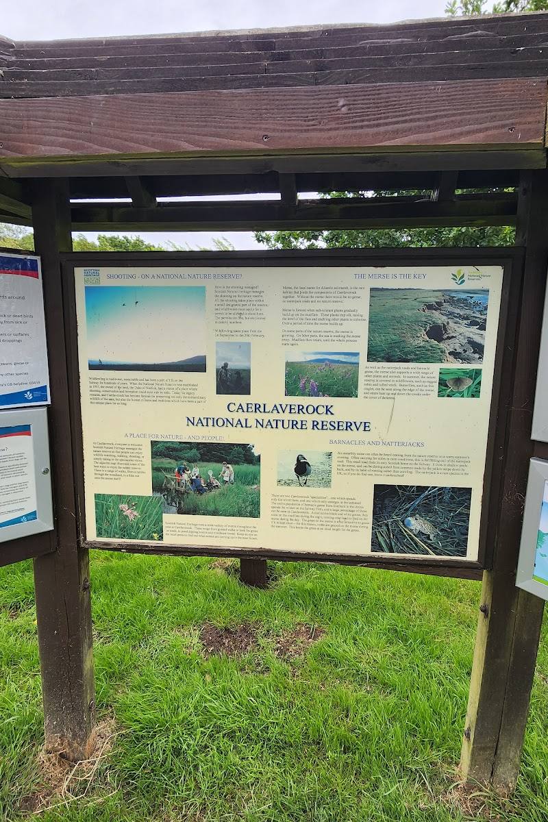
Keep dogs under control, particularly from March to August during the bird-breeding season, and clean up after them. Avoid cattle on the merse; the leaflet says they can be dangerous.
Accessibility
The source row reports a wheelchair-accessible car park and entrance. The reserve leaflet warns that paths may flood at the highest tides; path surfaces and route accessibility are not specified.
Cost
Check before visiting
Check before visiting
Water
Estuary, mudflats and saltmarsh on the Solway Firth
Gallery
Place photographs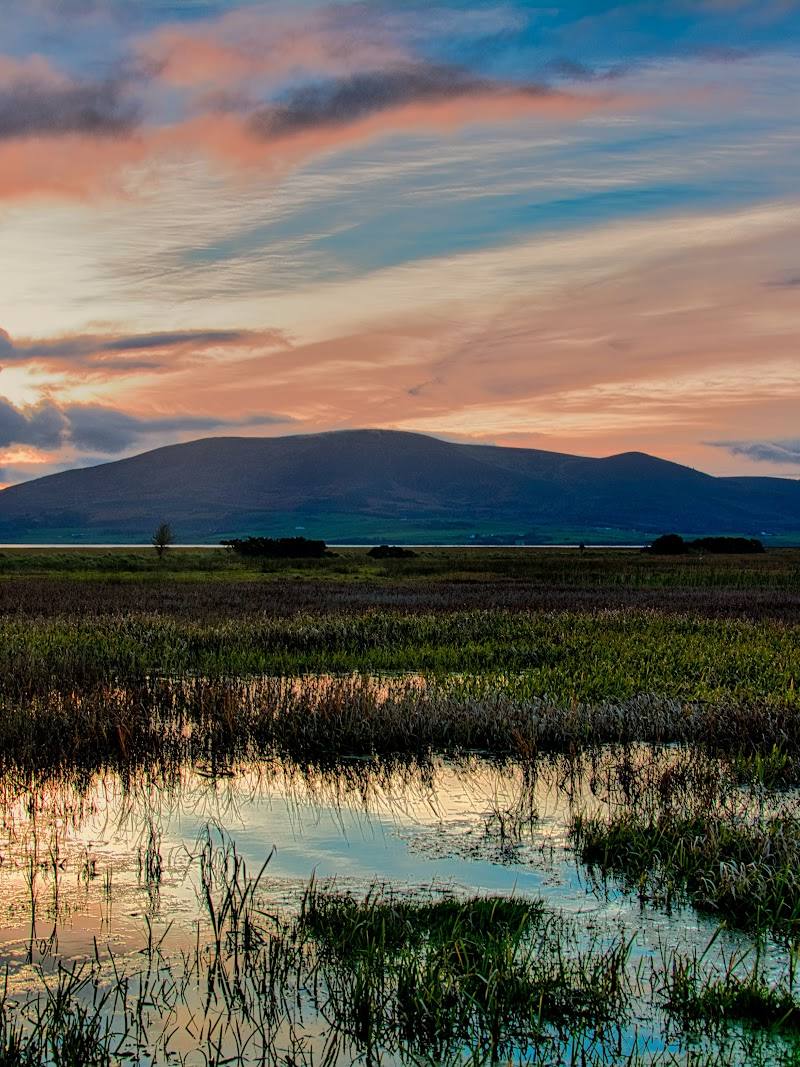
Keep exploring
Around Caerlaverock National Nature Reserve
Within 50 km · approximate straight-line distances