Near Princes Risborough, Buckinghamshire
Brush Hill & Whiteleaf Nature Reserve Walk
route · Countryside walk
Place photograph
5.9
Wildland
Half day
Time
Check
Cost
Big-sky
Feel
Why it's Wildland
5.9A Chilterns walk pairing far-reaching views from Brush Hill with woodland, Whiteleaf Nature Reserve and a Neolithic barrow.
The appeal is the contrast between an open hilltop viewpoint and a longer countryside walk through woodland and reserve landscape, with a prehistoric feature along the way. It offers more to notice than a viewpoint stop alone.
Big-sky · Wild
Find your way
Open mapNear Princes Risborough, Buckinghamshire
Opening map…
Know this place a little better?
The experience
A moderate countryside walk combining a hilltop panorama, woodland and a prehistoric feature. The published guide gives a 10.8 km return distance and an estimated 2.5–3.5 hours; download a route map or GPS and allow extra time if needed.
Things to do
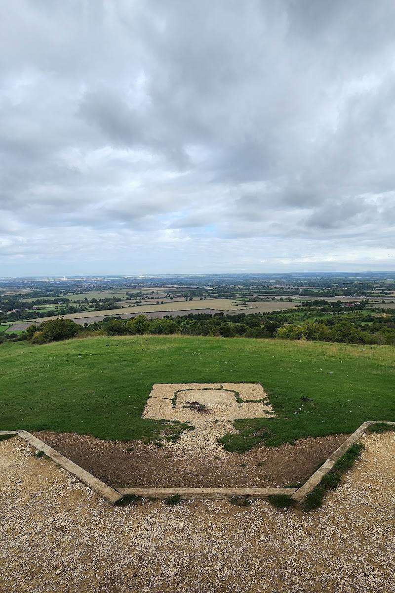
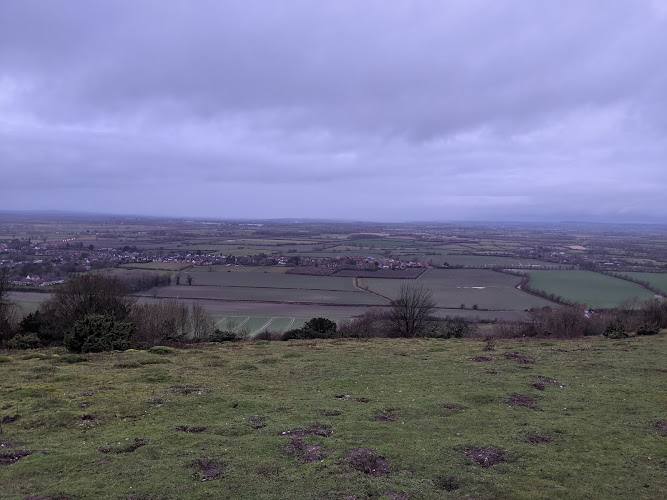
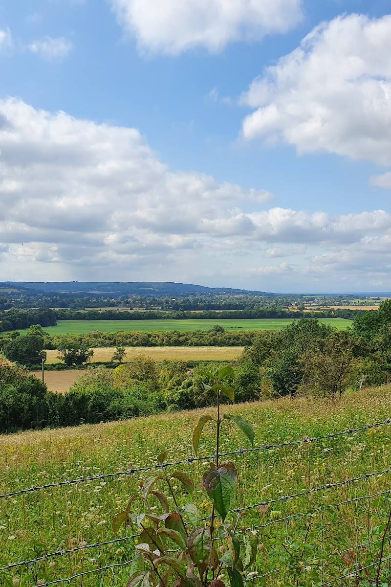
Take in the Brush Hill panorama
Follow the described path through the kissing gates to the viewpoint; the guide notes a small bench there.
Walk the Ridgeway section towards Whiteleaf
From the information board, follow the route guide to the junction and take the signed Ridgeway section towards Whiteleaf Nature Reserve.
Look for the Neolithic barrow
The route guide describes a Neolithic barrow beside the trail at Whiteleaf Nature Reserve.
Make a day of it
Quick escape · Short visit; duration not specified by source
Brush Hill viewpoint out-and-back
- 01
Use the Brush Hill trailhead described by the route guide.
- 02
Follow the path through the kissing gates to the hilltop viewpoint.
- 03
Pause at the bench and take in the views, then return the same way.
Half day · 2.5–3.5 hours; 10.8 km return
Brush Hill and Whiteleaf walk
- 01
Start at the Brush Hill trailhead and visit the viewpoint.
- 02
Return to the information board and follow the route guide towards Whiteleaf Nature Reserve.
- 03
Follow the signed Ridgeway section and look out for the Neolithic barrow.
- 04
Use the route guide for the return and check navigation carefully, as it warns that the trail can be lost on the descent.
Verified history
The supplied route guide identifies a Neolithic barrow beside the trail at Whiteleaf Nature Reserve. No further history is verified in the supplied sources.
Hidden details
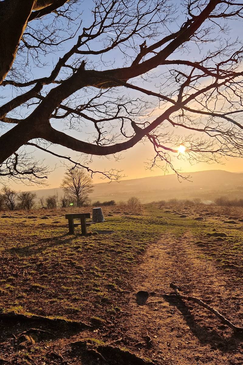
A bench at the viewpoint — The route guide notes a small bench at the Brush Hill viewpoint, a useful place to pause before retracing the path.
When to go
· Not established by the supplied sources.
No specific seasonal feature or best visiting period is verified by the supplied sources.
Check the forecast and route conditions before setting out. The route guide advises downloading GPS navigation and warns that some walkers have lost the trail on the way down.
The route
- ascent
- 201 m
- distance
- 10.8 km return
- duration
- 2.5–3.5 hours
- difficulty
- Moderate
- waymarking
- The guide describes a white-acorn Ridgeway marker on part of the route; download GPS navigation as the trail may be difficult to follow on the descent.
- route shape
- Return route with an out-and-back section to the Brush Hill viewpoint; consult the route guide for the full walk.
- start point
- Brush Hill trailhead; route directions begin by crossing the road near the car park entrance.
- parking start
- Trailhead directions refer to a car park entrance; parking availability and terms are not confirmed.
- shorter alternative
- Walk to the Brush Hill viewpoint and return by the same path; distance and duration for this shorter option are not specified.
- Brush Hill viewpoint and bench
- Whiteleaf Nature Reserve
- Ridgeway section
- Neolithic barrow
Worth pairing with
The Plough at Cadsdon
The route guide describes this pub as a possible lunch stop on the longer walk. Check current opening and service details before relying on it.
What to look for
The open views from Brush Hill, the woodland and reserve landscape, and the Neolithic barrow described on the route.
The story
Archaeology
Best time to go
No specific season verified; check conditions before visiting.
No verified best time of day. Check the forecast and route conditions before setting out.
How long to spend
Half day
Perfect for
Walkers · Photographers · History lovers
Route at a glance
Duration
Half day
Terrain
Hills, Woodland
Parking / start
A trailhead is shown near the route start; parking arrangements are not confirmed. Check before visiting.
Practical information
Opening & access
A published walking route begins at the Brush Hill trailhead. Check current access and route conditions before setting out.
Check before visiting
Parking
A trailhead is shown near the route start; parking arrangements are not confirmed. Check before visiting.
Check before visiting
Toilets
Check before visiting
Check before visiting
Food & drink
The route description mentions The Plough at Cadsdon as a possible lunch stop; check opening and current details before visiting.
Check before visiting
Dogs
Check before visiting
Check before visiting
Accessibility
The route is rated moderate and includes hills; wheelchair accessibility is not established. Check before visiting.
Check before visiting
Cost
Check before visiting
Check before visiting
Gallery
Place photographs
Keep exploring
Around Brush Hill & Whiteleaf Nature Reserve Walk
Within 50 km · approximate straight-line distances