Leys Lane, near Pontefract, West Yorkshire WF8 3LJ
Brockadale Nature Reserve
Mixed-habitat reserve
Place photograph
7.2
Wildland
1–2 hours
Time
Free
Cost
Wild
Feel
Why it's Wildland
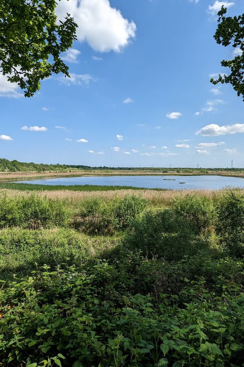
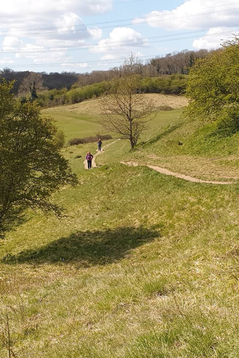
7.2A 59-hectare reserve in the Went valley brings together ancient woodland, wildflower meadows and water meadows, with a limestone landscape and a range of habitats to explore.
Brockadale earns its place for the way its steep Went valley gathers woodland, limestone meadows and water meadows into one reserve. The interest is in the changing habitats along its permissive paths, not a single viewpoint or attraction.
Wild · Peaceful · Atmospheric
Find your way
Open mapLeys Lane, near Pontefract, West Yorkshire WF8 3LJ
Opening map…
Know this place a little better?
The experience
Explore the Went valley on the reserve’s permissive paths, noticing how woodland, open limestone ground and water meadows meet. Allow time for uneven, steep sections; the ground and route conditions can vary.
Things to do
Walk the Wentbridge and Brockadale circular
A sourced loop linking the reserve and Wentbridge, described as 3.2 miles with 249 feet of ascent. Expect uneven natural paths, possible mud and limited signage in places; take a map and check conditions.
1–1.5 hours walking
Explore the reserve’s changing habitats
Use the permissive footpaths to experience woodland, wildflower meadows and water meadows across the Went valley. Paths include steep and narrow sections on natural surfaces.
Watch and listen for birds
The birding source reports yellowhammer, green woodpecker and barn owl in limestone meadows, and great spotted woodpecker, treecreeper and tawny owl in woodland. Sightings vary and are not guaranteed.
Make a day of it
Quick escape · About 1–1.5 hours for the sourced Wentbridge and Brockadale circular route; route conditions may vary.
Quick valley walk
- 01
Start from the Leys Lane reserve car park if using the reserve as your access point; confirm the route start and current conditions before setting out.
- 02
Follow a permissive path through the valley, taking care on steep or narrow natural-surface sections.
- 03
Look for changes between woodland, limestone meadow and water meadow.
- 04
Return by your chosen path; do not assume every path forms a waymarked circuit.
Half day · Half day
Make a half day of the reserve
- 01
Check reserve access, weather and path conditions before leaving.
- 02
Walk a section of the permissive paths, allowing time for steep, narrow and uneven stretches.
- 03
Pause to observe the different habitats and watch for birds in the meadows and woodland.
- 04
If following the sourced circular route, plan for about 3.2 miles and 1–1.5 hours of walking, with additional time for stops.
Verified history
The supplied sources establish Brockadale as a Yorkshire Wildlife Trust nature reserve in the Went valley. They do not provide a specific historical account of the site.
Hidden details
Look for the habitat transitions — The reserve’s interest lies in the sequence of woodland, limestone meadow and water meadow within the valley. Notice how the character of the ground and vegetation changes as you walk.
Check the route surface before setting out — The reserve owner notes steep, narrow paths on natural surfaces, while the circular-route description warns of mud after wet weather and limited signage in places.
When to go
April · May · June · July · Check conditions and choose a time that allows enough daylight for the route; no specific time of day is established by the supplied sources.
The birding source identifies spring, spring migration and summer as good seasons, while also reporting birding opportunities year-round.
Paths can be muddy after wet weather. The reserve has steep, narrow natural-surface sections; use suitable footwear and check current conditions.
The route
- ascent
- 249 feet
- stiles
- Not specified for this specific circular route; reserve paths include kissing gates.
- surface
- Natural paths, with some unpaved sections; can be muddy after wet weather.
- distance
- 3.2 miles for the Wentbridge and Brockadale circular route
- duration
- 1–1.5 hours
- difficulty
- Easy according to AllTrails; reserve paths include steep and narrow sections, so conditions and individual ability matter.
- waymarking
- Limited signage reported in places on the circular route; carry a map.
- route shape
- Loop
- start point
- Wentbridge and Brockadale circular route; confirm the exact start point before setting out.
- parking start
- Yorkshire Wildlife Trust lists a car park on Leys Lane, accessed from its eastern end, and a small layby on Wentedge Road. The supplied route source does not confirm that this is the circular route’s start.
- The Went valley
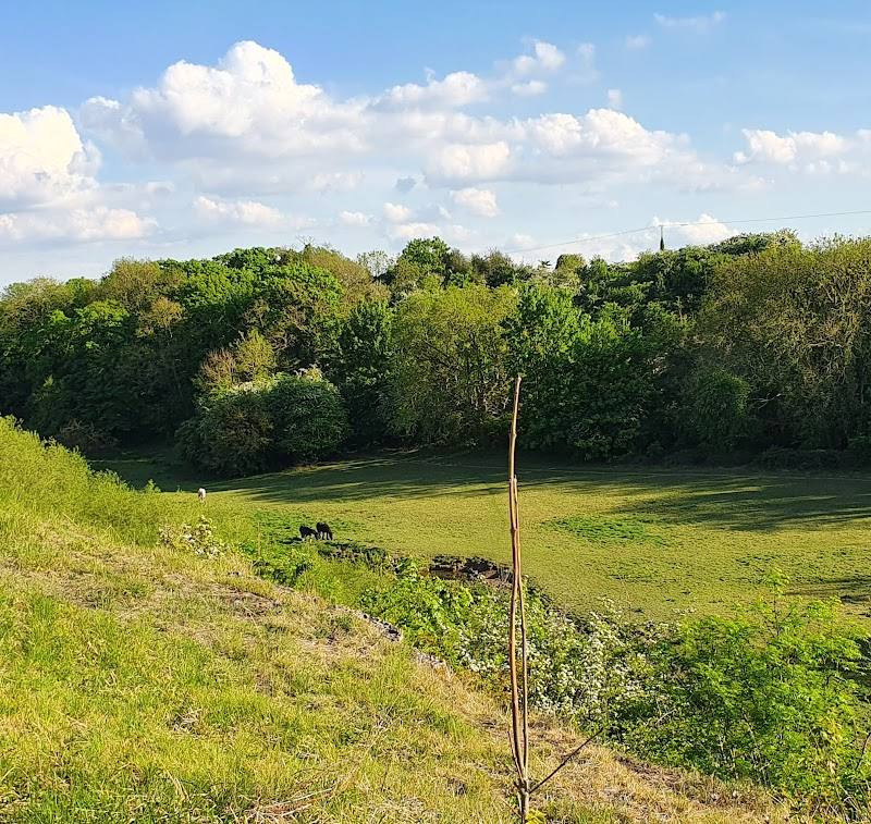
- Woodland and limestone meadow
- Water meadows and the River Went
- Open countryside
What to look for
- 01
Notice the transitions between woodland, limestone meadow and water meadow. Birding sources mention yellowhammers, green woodpeckers and barn owls in the meadows, and great spotted woodpeckers, treecreepers and tawny owls in woodland
- 02
sightings are not guaranteed.
Best time to go
Spring and summer are highlighted for birding; the reserve’s flowers and butterflies also make it a seasonal nature visit. Check locally for current conditions.
Spring and summer are identified as useful birdwatching seasons. For a quieter or more comfortable walk, check weather and path conditions before setting out.
How long to spend
1–2 hours
Perfect for
Walkers · Wildlife lovers · Photographers · Families
Before you go
Address
Phone
Website
Listed hours
- Monday: Open 24 hours
- Tuesday: Open 24 hours
- Wednesday: Open 24 hours
- Thursday: Open 24 hours
- Friday: Open 24 hours
- Saturday: Open 24 hours
- Sunday: Open 24 hours
Check before visiting.
Google rating
Practical information
Opening & access
Yorkshire Wildlife Trust describes permissive footpaths around the reserve. Entry is listed as free. Paths include steep, narrow natural-surface sections, steps, bridges and kissing gates. Check current access information before travelling.
Check before visiting
Parking
Yorkshire Wildlife Trust lists a car park on Leys Lane, accessed from its eastern end, with a maximum vehicle clearance of 2.1m, and a small layby on Wentedge Road. Check availability before visiting.
Check before visiting
Toilets
Check before visiting
Check before visiting
Food & drink
Check before visiting
Check before visiting
Dogs
Check current reserve guidance and signage before visiting.
Check before visiting
Accessibility
The reserve has steep, narrow paths on natural surfaces, with kissing gates, steps and bridges. Wheelchair access is not verified; check with the reserve before visiting.
Check before visiting
Cost
Free
Water
River and water meadows
Gallery
Place photographs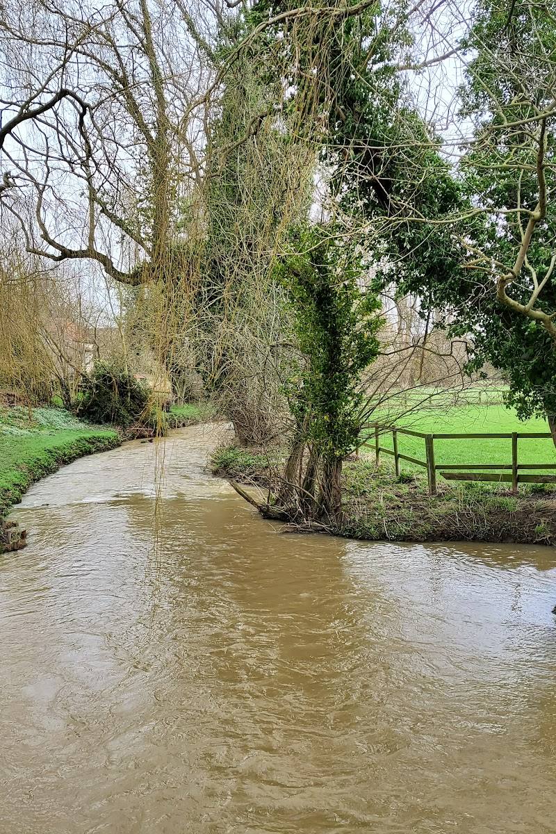
Keep exploring
Around Brockadale Nature Reserve
Within 50 km · approximate straight-line distances