Near Brigsteer, Cumbria, close to Kendal
Brigsteer Bee Reserve
Mixed-habitat reserve
Place photograph
5.5
Wildland
1–2 hours
Time
Check
Cost
Peaceful
Feel
Why it's Wildland
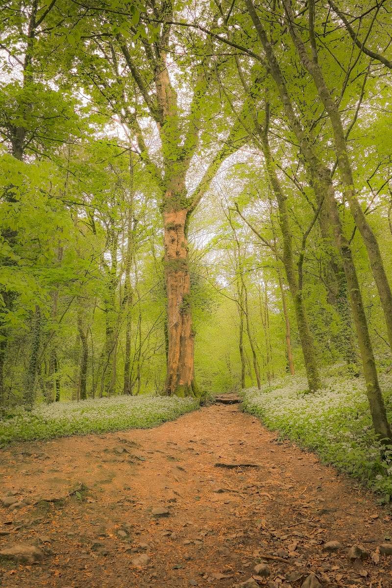
5.5A small wildlife reserve lies beside a village walk through flower-rich grassland and Honeybee Wood. The route offers a chance to see how habitat for bees fits into the wider Lyth Valley landscape.
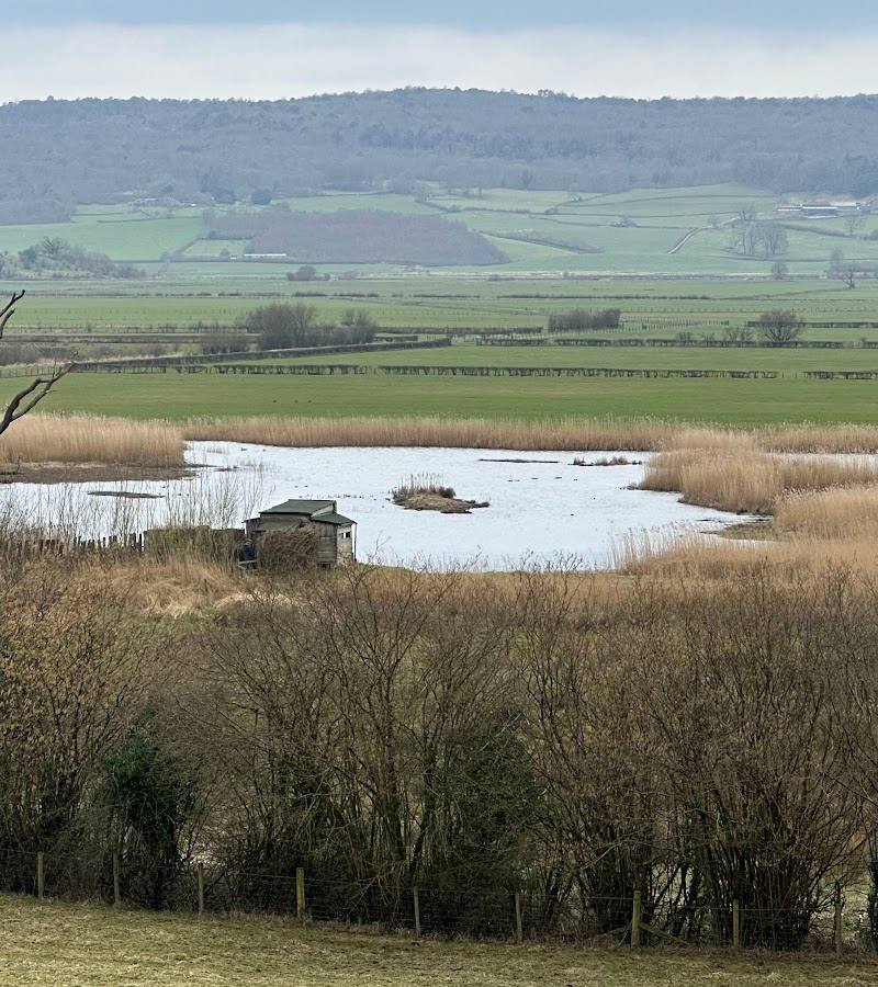
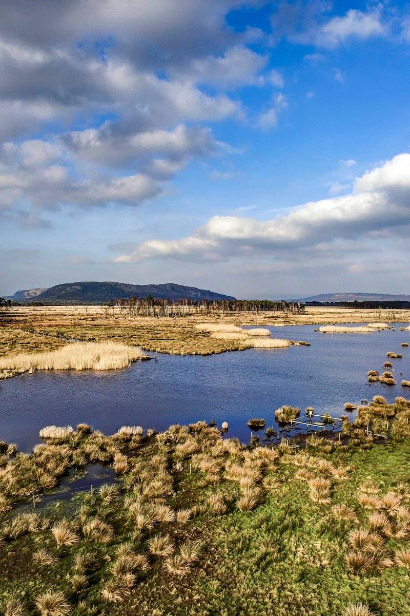
Its appeal is the close connection between conservation and landscape: a bee reserve beside a walk through meadow and woodland, with views towards the Lyth Valley and Morecambe Bay. The reserve itself is private, so treat the published route as a walk past it—not permission to enter.
Peaceful
Find your way
Open mapNear Brigsteer, Cumbria, close to Kendal
Opening map…
Know this place a little better?
The experience
The clearest sourced outing is a circular walk from below Brigsteer that passes the reserve and continues through Honeybee Wood and the surrounding countryside. The reserve is described as private, so access to its grounds or organised activities needs checking separately.
Things to do
Walk the Brigsteer countryside circuit
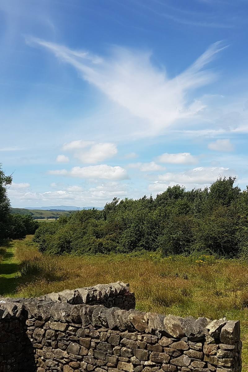
Follow the published circular walk past the bee reserve, through Honeybee Wood and across surrounding tracks, footpaths and quiet roads. The article gives a 4.5-mile route with a shorter 3.5-mile option.
About 2 hours for the full route
Look across the Lyth Valley
Pause at the bench at the top of the field on the published route for views over the Lyth Valley and south towards Morecambe Bay.
Notice the reserve’s bee-friendly habitat
From the adjacent public footpath, look for the flower-rich grassland and the area of woodland described as being planted with trees that provide resources for bees. The reserve is private; do not assume the path gives access to its grounds.
Make a day of it
Quick escape · About 1–2 hours
A short walk past the reserve
- 01
Start from the parking area below Brigsteer described in the published route.
- 02
Follow the route by the village and take the footpath signed for St John’s Church, which runs alongside the bee reserve.
- 03
Pause at the bench above the field for the views, then return by the same way if you want a shorter outing. Confirm that your chosen return route is practical before setting off.
Half day · About 2 hours for the full published circuit
Make a loop through Honeybee Wood
- 01
Begin at the parking area below Brigsteer and follow the published circular route past the reserve.
- 02
Continue through Honeybee Wood and the surrounding tracks and footpaths.
- 03
Use the published route directions and an appropriate map; the article advises taking the relevant Ordnance Survey map.
Verified history
The published route article describes Brigsteer Bee Reserve as a private wildlife reserve and part of the Morecambe Bay Wetlands Project. It reports flower-rich grassland managed to favour flora and provide nesting sites for bumblebees and solitary bees, alongside a small area of woodland being planted with trees used by bees. The available source does not verify the source row’s claims about the reserve’s founding date, the British black bee, visitor facilities or guided tours.
Hidden details
A bench above the flower-rich field — The route article notes a bench at the top of the field, with views over the Lyth Valley and towards Morecambe Bay.
The meaning behind Underbarrow Pool — The route article suggests that the name Brigsteer may refer to a bridge or causeway across the pool, used to move young cattle to pasture. This is presented as a possible explanation, not a confirmed account.
When to go
April · May · June · July · August · September · Early morning or late afternoon, as suggested in the source row.
The source row recommends spring and summer for wildflowers in bloom and active bees. The route article describes flower-rich grassland managed for pollinators.
The source row warns that paths can become muddy and difficult in winter. Check the forecast and current path conditions before setting out.
The route
- ascent
- 300 feet
- stiles
- Two stiles are mentioned on one section of the full route
- surface
- Tracks, footpaths and quiet roads
- distance
- 4.5 miles; a 3.5-mile shorter option is described
- duration
- About 2 hours
- difficulty
- Described as a pleasant, fairly easy walk
- waymarking
- Some directions refer to signed footpaths; full waymarking is not confirmed
- route shape
- Circular loop
- start point
- Parking area off the road from Underbarrow, below Brigsteer; grid reference SD 477 898 in the published article
- parking start
- The article describes a parking area at the start. Check current availability and restrictions before travelling.
- shorter alternative
- A 3.5-mile option avoids the middle loop, according to the article.
- Footpath alongside the private bee reserve
- Honeybee Wood
- Bench with views over the Lyth Valley towards Morecambe Bay
- Pasture, woodland and rural tracks
Worth pairing with
Scout Scar
A separate limestone walk above Brigsteer, described in the supplied village guide as offering views over the Lyth Valley, Morecambe Bay and the Lakeland fells. Check the route and access details before combining outings.
Sizergh Castle
A nearby historic estate identified in the supplied village guide. It could make a substantial second stop, but check current opening and admission details before planning around it.
What to look for
From the public footpath, notice the flower-rich grassland beside the reserve and the small area of woodland described as being planted with trees useful to bees. The route also passes through Honeybee Wood and reaches a bench with views over the Lyth Valley towards Morecambe Bay.
Best time to go
Spring to summer for the reserve’s flower-rich grassland and bee activity, as described in the source row. Check access and conditions before setting out.
The source row recommends April to September, when flowers are in bloom and bees are active. Early morning or late afternoon may be quieter, according to that same source.
How long to spend
1–2 hours
Perfect for
Walkers · Wildlife lovers · Photographers
Practical information
Opening & access
The reserve is described as private. A published walking route follows a public footpath alongside it; this does not confirm access into the reserve itself. Check with the reserve before visiting or joining any activities. Access arrangements are unconfirmed. Check before visiting; do not enter private land or restricted structures.
Check before visiting
Parking
The published route starts from a parking area below Brigsteer. Check current parking arrangements before travelling.
Check before visiting
Toilets
Check before visiting.
Check before visiting
Food & drink
Check before visiting.
Check before visiting
Dogs
The source row describes the reserve as dog-friendly; check current rules, particularly because the reserve is private and the route crosses rural paths.
Check before visiting
Accessibility
The source row says the reserve is not fully wheelchair accessible and that some paths may suit visitors with limited mobility. Terrain and access arrangements should be checked before visiting.
Check before visiting
Cost
Check before visiting
Check before visiting
Gallery
Place photographsKeep exploring
Around Brigsteer Bee Reserve
Within 50 km · approximate straight-line distances