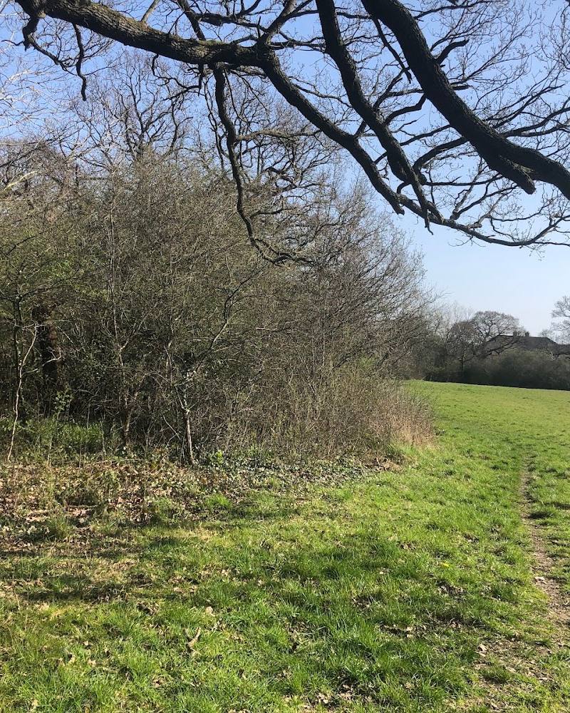
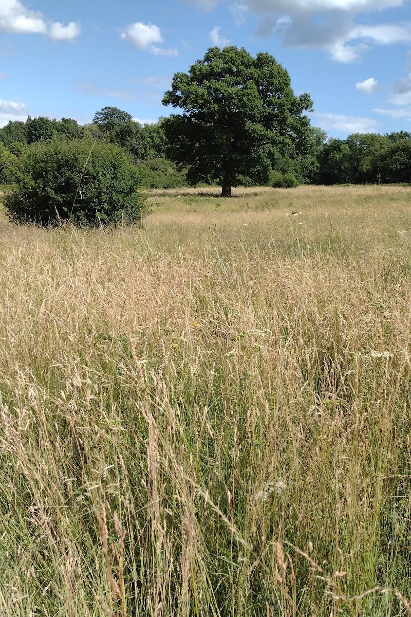
4 Boot Pond Road, Plymouth, Massachusetts 02360, USA
Eel River Preserve (Boot Pond Road)
Mixed-habitat reserve
Place photograph
5.8
Wildland
1–2 hours
Time
Free
Cost
Peaceful
Feel
Why it's Wildland
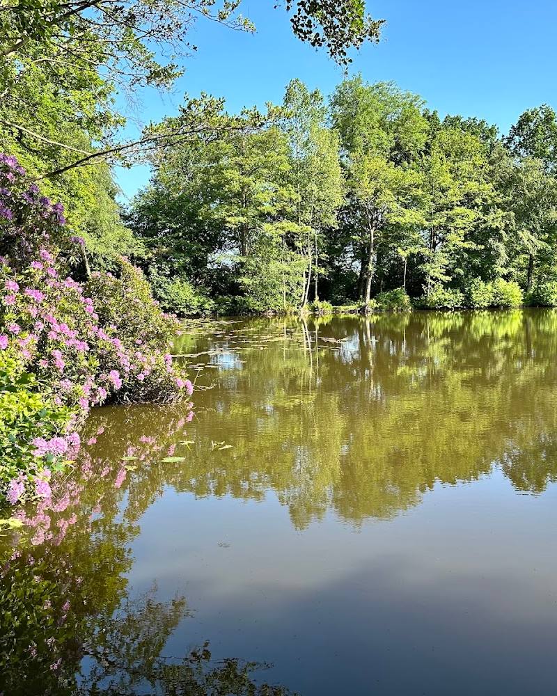
5.8A former cranberry bog is being given back to the river. Ditches, dams and culverts were removed, and Atlantic white cedars planted as the Eel River began flowing freely through the recovering wetland.
The draw here is the landscape in transition: a restored river, recovering cedar swamp, wetland trails and traces of the cranberry operation. It offers more to notice than a simple pond-side stop, with a footbridge, bog boards and a shorter woodland loop along the way.
Peaceful
Find your way
Open map4 Boot Pond Road, Plymouth, Massachusetts 02360, USA
Opening map…
Know this place a little better?
The experience
Walk the loop around the former cranberry bog, cross the river footbridge and look for remnants of the cranberry operation. A shorter loop climbs a wooded hillside; the broader trail network connects with Russell Mill Pond Conservation Area for a longer outing.
Things to do
Walk the former cranberry bog loop
Follow the main trail around the former bog and notice how the wetland is returning to a more natural state.
Nearly 3 miles
Cross the river footbridge
Find the pedestrian bridge installed where an old dam was removed; it provides views of the restored river.
Look for cranberry-operation remnants
Watch for foundations and borrow pits left from the site's former cranberry farming use.
Take the woodland hillside loop
An additional loop climbs over a forested hillside and offers a distant view of Hoyts Pond; the source notes there is no pond access.
Just over half a mile
Make a day of it
Quick escape · About 1–2 hours
Quick Escape: river and bog loop
- 01
Start at the trailhead near the junction of Boot Pond Road and Long Pond Road.
- 02
Follow the main trail around the former cranberry bog; use the shorter route if you want to reduce the walk.
- 03
Pause at the footbridge over the river and look for wetland and river views.
Half day · Half day
Make a half day of it: add the woodland loop
- 01
Walk the main loop around the former cranberry bog.
- 02
Take the additional loop over the wooded hillside, where the route overlooks Hoyts Pond from a distance; there is no pond access.
- 03
Continue across the street to Russell Mill Pond Conservation Area for additional trails, checking local access and parking guidance.
Verified history
The preserve includes land once used for cranberry farming. The Town acquired the central cranberry bogs in 2003, and a restoration project removed the bog's ditches, dams and culverts in 2010 to allow the Eel River to flow freely. The area also has a longer human history: the source describes it as part of Pokanoket, a Wampanoag village governed by Massasoit before European settlers arrived in 1620, and notes later mills and cranberry farming.
Hidden details
The river restoration replaced an old dam — The pedestrian footbridge stands where a dam was removed during restoration, offering a visible point to consider how the river's course and movement have changed.
Cranberry bog traces remain on the trail — Foundations and borrow pits are among the occasional remnants of the site's former cranberry operation.
When to go
· The preserve is listed as open from dawn to dusk. Check current conditions before visiting.
The source describes the trail as mowed occasionally in summer and reports muddy sections caused by seeping springs. No specific seasonal wildlife or peak-visit window is verified.
Trails can be muddy in places. Check conditions and hunting-season guidance before setting out.
The route
- ascent
- Not specified.
- stiles
- Not specified.
- surface
- Dirt, gravel and bog boards; another listing also describes a concrete bridge. Muddy sections are reported.
- distance
- About 3 miles of trails; the main bog loop is nearly 3 miles, with a shorter shortcut and an additional hillside loop just over half a mile.
- duration
- Check before visiting.
- difficulty
- Easy to medium, according to the source.
- waymarking
- Check before visiting.
- route shape
- Main loop around a former cranberry bog, with a shorter shortcut and an additional wooded hillside loop.
- start point
- Trailhead at the intersection of Boot Pond Road and Long Pond Road, Plymouth, Massachusetts.
- parking start
- On-site parking area at the intersection of Boot Pond Road and Long Pond Road. Follow posted restrictions; no parking is allowed on or along Drew Road.
- shorter alternative
- Use the shorter route around the bog rather than completing the nearly 3-mile main loop; exact distance is not specified.
- Restored Eel River and pedestrian footbridge
- Recovering Atlantic white cedar swamp
- Former cranberry bog and traces of its operation
- Woodland hillside loop with a distant view of Hoyts Pond
Worth pairing with
Russell Mill Pond Conservation Area
Across the road and connected by a footbridge, this conservation area has additional trails through upland woods and along Russell Mill Pond. Confirm parking arrangements before combining visits.
What to look for
Look for the river footbridge installed where an old dam was removed, bog boards across wetter trail sections, and remnants of cranberry farming such as foundations and borrow pits. The reserve also includes a restored Atlantic white cedar swamp.
The story
Wetland restoration; cranberry farming; local Indigenous history and historic milling in the area.
Best time to go
Year-round; summer is when the trail is mowed occasionally, while wetter sections may be muddy.
The reserve is described as open dawn to dusk. The main trail is mowed occasionally in summer; check conditions before setting out, as sections can be muddy.
How long to spend
1–2 hours
Perfect for
Walkers · Wildlife lovers · Photographers
Practical information
Opening & access
Town-owned preserve with trails and an on-site parking area at the junction of Boot Pond Road and Long Pond Road. Open dawn to dusk; check current local guidance before visiting. Hunting is allowed in season in the area, so check regulations and wear bright orange if entering during hunting season.
Check before visiting
Parking
On-site parking at the intersection of Boot Pond Road and Long Pond Road. Follow posted parking rules; parking on or along Drew Road is not allowed.
Toilets
Check before visiting.
Check before visiting
Food & drink
Check before visiting.
Check before visiting
Dogs
Check before visiting.
Check before visiting
Accessibility
The trail is described as easy to medium, with dirt and gravel surfaces and muddy sections. Wheelchair access is not verified; check before visiting.
Check before visiting
Cost
Free
Water
River, Pond
Gallery
Place photographsKeep exploring
Around Eel River Preserve (Boot Pond Road)
Within 50 km · approximate straight-line distances